|
Cactus Range
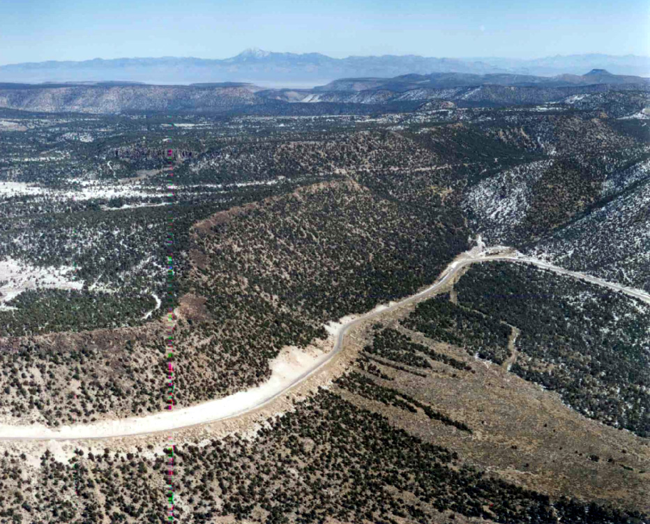
The Cactus Range is a small mountain range in Nye County, Nevada. The range lies southwest of Cactus Flat and north of Pahute Mesa. Goldfield lies to the west in Esmeralda County. The range lies within the restricted area of the Tonopah Test Range The Tonopah Test Range (TTR, also designated as Area 52) is a highly classified, restricted military installation of the United States Department of Defense, and United States Department of Energy ( nuclear stockpile stewardship) located about .... Named peaks in the range include: *Antelope Peak at *Cactus Peak at *Urania Peak at *Mount Helen at Cactus Range was so named on account of cacti in the area. References Mountain ranges of Nevada Mountain ranges of Nye County, Nevada Mountain ranges of the Great Basin {{NyeCountyNV-geo-stub ... [...More Info...] [...Related Items...] OR: [Wikipedia] [Google] [Baidu] |
Tonopah Test Range Airport
Tonopah Test Range Airport , at the Tonopah Test Range (Senior Trend project site PS-66) is southeast of Tonopah, Nevada and northwest of Las Vegas, Nevada. It is a major airfield with a runway, instrument approach facilities, and nighttime illumination. The facility has over fifty hangars and an extensive support infrastructure. Overview Tonopah is controlled by the USAF Air Combat Command. The known primary use of this airport is to shuttle government employees to the weapons test range from Harry Reid International Airport in Las Vegas. The primary (paved) access to the facility is off of U.S. Route 6 at the north end of the airport. Dirt road access points also exist on the south and east sides of the range. The site is plainly visible from commercial airliners, which pass north of the base on transcontinental flights. History The Tonopah Range Airport first opened in 1957, supporting operations on the test range itself, which was used for United States Atomic Energy ... [...More Info...] [...Related Items...] OR: [Wikipedia] [Google] [Baidu] |
Nye County, Nevada
Nye County is a county in the U.S. state of Nevada. As of the 2020 census, the population was 51,591. Its county seat is Tonopah. At , Nye is Nevada's largest county by area and the third-largest county in the contiguous United States, behind Coconino County of Arizona and San Bernardino County of California. Nye County comprises the Pahrump Micropolitan Statistical Area, which is included in the Las Vegas-Henderson Combined Statistical Area. In 2010, Nevada's center of population was in southern Nye County, near Yucca Mountain. The Nevada Test Site and proposed Yucca Mountain nuclear waste repository are in southwestern Nye County, and are the focus of a great deal of controversy. The federal government manages 92% of the county's land. A 1987 attempt to stop the nuclear waste site resulted in the creation of Bullfrog County, Nevada, which was dissolved two years later. The county has several environmentally sensitive areas, including Ash Meadows National Wildlife Refu ... [...More Info...] [...Related Items...] OR: [Wikipedia] [Google] [Baidu] |
USGS
The United States Geological Survey (USGS), formerly simply known as the Geological Survey, is a scientific agency of the United States government. The scientists of the USGS study the landscape of the United States, its natural resources, and the natural hazards that threaten it. The organization's work spans the disciplines of biology, geography, geology, and hydrology. The USGS is a fact-finding research organization with no regulatory responsibility. The agency was founded on March 3, 1879. The USGS is a bureau of the United States Department of the Interior; it is that department's sole scientific agency. The USGS employs approximately 8,670 people and is headquartered in Reston, Virginia. The USGS also has major offices near Lakewood, Colorado, at the Denver Federal Center, and Menlo Park, California. The current motto of the USGS, in use since August 1997, is "science for a changing world". The agency's previous slogan, adopted on the occasion of its hundredth anniv ... [...More Info...] [...Related Items...] OR: [Wikipedia] [Google] [Baidu] |
Nevada
Nevada ( ; ) is a U.S. state, state in the Western United States, Western region of the United States. It is bordered by Oregon to the northwest, Idaho to the northeast, California to the west, Arizona to the southeast, and Utah to the east. Nevada is the List of U.S. states and territories by area, 7th-most extensive, the List of U.S. states and territories by population, 32nd-most populous, and the List of U.S. states and territories by population density, 9th-least densely populated of the U.S. states. Nearly three-quarters of Nevada's people live in Clark County, Nevada, Clark County, which contains the Las Vegas–Paradise, NV MSA, Las Vegas–Paradise metropolitan area, including three of the state's four largest incorporated cities. Nevada's capital is Carson City, Nevada, Carson City. Las Vegas is the largest city in the state. Nevada is officially known as the "Silver State" because of the importance of silver to its history and economy. It is also known as the "Battle ... [...More Info...] [...Related Items...] OR: [Wikipedia] [Google] [Baidu] |
Cactus Flat
Cactus Flat is one of the Central Nevada Desert Basins in the Cactus-Sacrobatus Watershed, for which it is an eponym. The flat is the location of the Tonopah Test Range Airport and Tonopah Test Range, a component of the Nevada Test and Training Range used for weapons testing since the 1950s. The flat is also the site of the Nevada Wild Horse Range of the Nellis Air Force Range. The Kawich Range lies to the northeast and the Cactus Range to the southwest. Jack Rabbit Knob is east of Antelope Lake playa in Cactus Flat.''Cactus Flat, Nevada'' 1:100,000 scale topographic map, 37116-EM-TM-100, USGS, 1988 Cactus Flat has three cactus types (Beavertail cactus, Calico cactus and Barrel cactus Barrel cacti are various members of the two genera ''Echinocactus'' and ''Ferocactus'', endemic to the deserts of Southwestern North America southward to north central Mexico. Some of the largest specimens are found in the Sonoran Desert in Sout ...). References External links * {{cite ... [...More Info...] [...Related Items...] OR: [Wikipedia] [Google] [Baidu] |
Pahute Mesa
Pahute Mesa or Paiute Mesa is one of four major nuclear test regions within the Nevada National Security Site (NNSS). It occupies in the northwest corner of the NNSS in Nevada. The eastern section is known as Area 19 and the western section as Area 20. History The Partial Test Ban Treaty of 1963 banned atmospheric nuclear testing. This led to a requirement for an underground test area that could accommodate higher yield tests than Yucca Flat. Pahute Mesa was seen as ideal due to its geology and distance of over from Las Vegas. Holes can be drilled to a depth of more than . This allows tests in the megaton range to be fully contained with minimal ground motion being felt in Las Vegas. Pahute Mesa was thus incorporated into the boundary of the NNSS in late 1963 under an agreement between the United States Atomic Energy Commission and the U.S. Air Force. Geology and climate Pahute Mesa is part of the Tonopah Basin and includes the Silent Canyon caldera complex of the Southwes ... [...More Info...] [...Related Items...] OR: [Wikipedia] [Google] [Baidu] |
Goldfield, Nevada
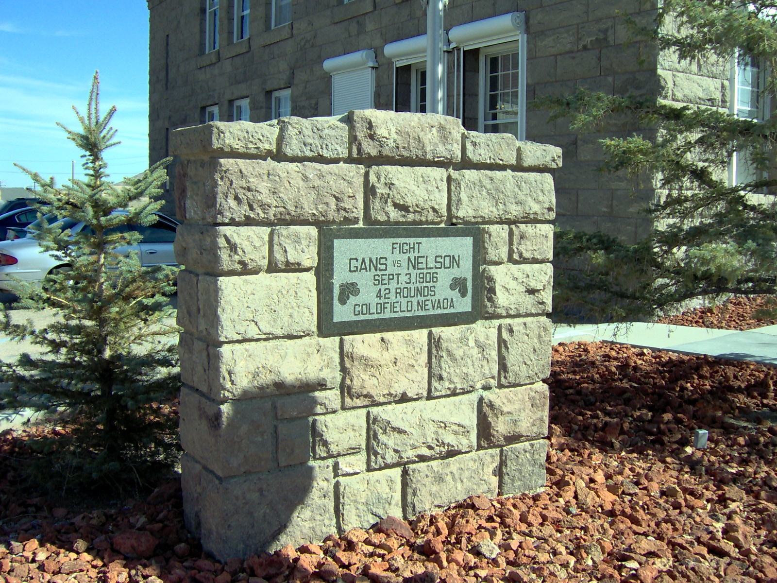
Goldfield is an unincorporated community, unincorporated small desert city and the county seat of Esmeralda County, Nevada. It is the locus of the census-designated place, Goldfield CDP which had a resident population of 268 at the 2010 United States Census, 2010 census, down from 440 in 2000. Goldfield is located southeast of Carson City, Nevada, Carson City, along U.S. Route 95 in Nevada, U.S. Route 95. Goldfield was a boomtown in the first decade of the 20th century due to the discovery of gold – between 1903 and 1940, Goldfield's mines produced more than $86 million at then-current prices. Much of the town was destroyed by a fire in 1923, although several buildings survived and remain today, notably the Goldfield Hotel, the Consolidated Mines Building (the communications center of the town until 1963), and the schoolhouse. Gold exploration continues in and around the town today. History The community was named for deposits of gold near the original town site. Gold wa ... [...More Info...] [...Related Items...] OR: [Wikipedia] [Google] [Baidu] |
Esmeralda County
Esmeralda County is a county in the southwestern portion of the U.S. state of Nevada. As of the 2020 census, the population was 729, making it the least populous county in Nevada. Esmeralda County does not have any incorporated communities. Its county seat is the town of Goldfield. Its 2000 census population density of was the second-lowest of any county in the contiguous United States (above Loving County, Texas). Its school district does not have a high school, so students in grades 9–12 go to school in Tonopah, in the Nye County School District. Most residents live in Goldfield or in the town of Dyer in Fish Lake Valley, near the California border. Esmeralda is the only Nevada county in the Los Angeles TV market (or any California market) as defined by The Nielsen Corporation. History Esmeralda County is one of the original counties in Nevada, established on November 25, 1861. When it was organized, it comprised the part of the Nevada Territory south of the 39th p ... [...More Info...] [...Related Items...] OR: [Wikipedia] [Google] [Baidu] |
Tonopah Test Range
The Tonopah Test Range (TTR, also designated as Area 52) is a highly classified, restricted military installation of the United States Department of Defense, and United States Department of Energy (nuclear stockpile stewardship) located about southeast of Tonopah, Nevada. It is part of the northern fringe of the Nellis Range, measuring . Tonopah Test Range is located about northwest of Groom Lake, the home of the Area 51 facility. Like the Groom Lake facility, Tonopah is a site of interest to conspiracy theorists, mostly for its use of experimental and classified aircraft. As such, it is not generally the focus of alien enthusiasts, unlike its neighbor. It is currently used for nuclear weapons stockpile reliability testing, research and development of fusing and firing systems, and testing nuclear weapon delivery systems. The airspace comprises restricted area R-4809 of the Nevada Test and Training Range and is often used for military training. Description The Tonopah ... [...More Info...] [...Related Items...] OR: [Wikipedia] [Google] [Baidu] |
Mountain Ranges Of Nevada
A mountain is an elevated portion of the Earth's crust, generally with steep sides that show significant exposed bedrock. Although definitions vary, a mountain may differ from a plateau in having a limited summit area, and is usually higher than a hill, typically rising at least 300 metres (1,000 feet) above the surrounding land. A few mountains are isolated summits, but most occur in mountain ranges. Mountains are formed through tectonic forces, erosion, or volcanism, which act on time scales of up to tens of millions of years. Once mountain building ceases, mountains are slowly leveled through the action of weathering, through slumping and other forms of mass wasting, as well as through erosion by rivers and glaciers. High elevations on mountains produce colder climates than at sea level at similar latitude. These colder climates strongly affect the ecosystems of mountains: different elevations have different plants and animals. Because of the less hospitable terrain and ... [...More Info...] [...Related Items...] OR: [Wikipedia] [Google] [Baidu] |
Mountain Ranges Of Nye County, Nevada
A mountain is an elevated portion of the Earth's crust, generally with steep sides that show significant exposed bedrock. Although definitions vary, a mountain may differ from a plateau in having a limited summit area, and is usually higher than a hill, typically rising at least 300 metres (1,000 feet) above the surrounding land. A few mountains are isolated summits, but most occur in mountain ranges. Mountains are formed through tectonic forces, erosion, or volcanism, which act on time scales of up to tens of millions of years. Once mountain building ceases, mountains are slowly leveled through the action of weathering, through slumping and other forms of mass wasting, as well as through erosion by rivers and glaciers. High elevations on mountains produce colder climates than at sea level at similar latitude. These colder climates strongly affect the ecosystems of mountains: different elevations have different plants and animals. Because of the less hospitable terrain and ... [...More Info...] [...Related Items...] OR: [Wikipedia] [Google] [Baidu] |


.png)


.jpg)

