|
Bückeberg
The Bückeberg (; also the Bückeberge) is a small hill range, up to high, in the Calenberg Uplands between the Harrl and the Deister in central Germany, and is often considered part of the Weser Uplands. It lies in the district of Schaumburg, and stretches for some from west to east from Bückeburg and the village of Bad Eilsen towards Bad Nenndorf. Topography The ridge runs from southwest to northeast for about at heights of to about . It only has a few summits, like the Bückeberg (or ''Diebische Ecke'') (ca. ), east of the track junction on the ''Eulenburg'' Way, and the ''Großer Karl'' () near Reinsdorf. Here its course swings north and ends with the foothills of ''Münchhausener Berg'' and ''Heisterberg'' near Beckedorf. The gentle northern dip slope descends into the North German Plain, whilst the steeper southern scarp slope drops into the Aue valley, through which the A 2 autobahn runs. The Heeßer Berge in the west is a nature reserve. The ridge is c ... [...More Info...] [...Related Items...] OR: [Wikipedia] [Google] [Baidu] |
Harrl
The Harrl is a high, wooded western outlier of the Bückeberg hill ridge in the Weser Uplands of central Germany. It is up to and lies in the Lower Saxon county of Schaumburg. Location and geology The Harrl runs through the Weser Uplands-Schaumburg-Hamelin Nature Park from Bückeburg in the northwest to Bad Eilsen in the southeast, passing Ahnsen to the southwest. East of Bad Eilsen and right of the Bückeburger Aue it is adjoined by the Bückeberg itself. The longitudinal axis of the Harrl is more than 3 kilometres long and it has an area of around 3.5 km2. Its highest point is the ''Harrlberg'' which lies roughly in the centre of the ridge. To the southwest runs the B 83 federal road. The Harrl, like the Bückeberg, is made of sandstone (Obernkirchen Sandstone) and claystones (Upper and Lower Wealden slate) of the Lower Cretaceous. Tourism An observation tower stands on the Harrlberg known as the Ida Tower (''Idaturm''). In Harrl there are numerous hiking t ... [...More Info...] [...Related Items...] OR: [Wikipedia] [Google] [Baidu] |
Bückeburg
Bückeburg (Northern Low Saxon: ''Bückeborg'') is a town in Lower Saxony, Germany, on the border with North Rhine Westphalia. It is located in the district of Schaumburg close to the northern slopes of the Weserbergland ridge. Population: 21,030. History Bückeburg was once the capital of the tiny principality of Schaumburg-Lippe. Houses began to gather around the castle and were protected by a city wall in the 17th century. In the 19th century, it was connected to the Minden and Hanover Railway and housed a synagogue. The poet J. G. von Herder was court preacher here from 1771 to 1776. Bückeburg is a former British garrison town and had a number of British residents until recently. Most of the British residents worked at the British Military Hospital (BMH) in Rinteln, or in the local English Prince Rupert School, also in Rinteln. The number of British military residents in Bückeburg decreased significantly in the late 1990s, when BMH Rinteln closed down, however the ... [...More Info...] [...Related Items...] OR: [Wikipedia] [Google] [Baidu] |
Schaumburg
Schaumburg is a district (''Landkreis'') of Lower Saxony, Germany. It is bounded by (clockwise from the north) the districts of Nienburg, Hanover and Hamelin-Pyrmont, and the state of North Rhine-Westphalia (districts of Lippe and Minden-Lübbecke). History Landkreis Schaumburg was created on August 1, 1977 within the framework of the Kreisreform (district reform) of Lower Saxony by combining the former districts of Schaumburg-Lippe and Grafschaft Schaumburg. The town of Hessisch Oldendorf was reallocated to Landkreis Hameln-Pyrmont. The communities of Großenheidorn, Idensermoor-Niengraben and Steinhude had already been allocated to the community of Wunsdorf and thereby became part of Landkreis Hanover. The Landkreis Schaumburg essentially duplicates the borders of Schaumburg at the time of the Middle Ages. Schaumburg was a medieval county, which was founded at the beginning of the 12th century. Shortly after, the Holy Roman Emperor appointed the counts of Schaumburg to b ... [...More Info...] [...Related Items...] OR: [Wikipedia] [Google] [Baidu] |
Weser Uplands
The Weser Uplands (German: ''Weserbergland'', ) is a hill region in Germany, between Hannoversch Münden and Porta Westfalica, along the river Weser. The area reaches into three states, Lower Saxony, Hesse, and North Rhine-Westphalia. Important towns of this region include Bad Karlshafen, Holzminden, Höxter, Bodenwerder, Hameln, Rinteln, and Vlotho. The tales of the Brothers Grimm are set in the Weser Uplands, and it has many renaissance buildings, exhibiting a peculiar regional style, the Weser Renaissance style. The region roughly coincides with the natural region of the Lower Saxon Hills defined by the Federal Agency for Nature Conservation (BfN). Geography In addition to the whole of the Weser Valley between Hann. Münden und Porta Westfalica, several geologically associated, but clearly separate chains of uplands, ridges and individual hills are considered part of the Weser Uplands. In its narrowest sense, the following would be included (running from north to south ... [...More Info...] [...Related Items...] OR: [Wikipedia] [Google] [Baidu] |
Nature Reserve
A nature reserve (also known as a wildlife refuge, wildlife sanctuary, biosphere reserve or bioreserve, natural or nature preserve, or nature conservation area) is a protected area of importance for flora, fauna, or features of geological or other special interest, which is reserved and managed for purposes of conservation and to provide special opportunities for study or research. They may be designated by government institutions in some countries, or by private landowners, such as charities and research institutions. Nature reserves fall into different IUCN categories depending on the level of protection afforded by local laws. Normally it is more strictly protected than a nature park. Various jurisdictions may use other terminology, such as ecological protection area or private protected area in legislation and in official titles of the reserves. History Cultural practices that roughly equate to the establishment and maintenance of reserved areas for animals date bac ... [...More Info...] [...Related Items...] OR: [Wikipedia] [Google] [Baidu] |
North German Plain
The North German Plain or Northern Lowland (german: Norddeutsches Tiefland) is one of the major geographical regions of Germany. It is the German part of the North European Plain. The region is bounded by the coasts of the North Sea and the Baltic Sea to the north, Germany's Central Uplands (''die Mittelgebirge'') to the south, by the Netherlands to the west and Poland to the east. In the west, the southern boundary of the North German Plain is formed by the Lower Saxon Hills: specifically the ridge of the Teutoburg Forest, the Wiehen Hills, the Weser Hills and the Lower Saxon Börde, which partly separate it from that area of the Plain known as the Westphalian Lowland. Elements of the Rhenish Massif also act a part of the southern boundary of the plain: the Eifel, Bergisches Land and the Sauerland. In the east the North German Plain spreads out beyond the Harz Mountains and Kyffhäuser further to the south as far as the Central Saxon hill country and the foothills of the Ore M ... [...More Info...] [...Related Items...] OR: [Wikipedia] [Google] [Baidu] |
Escarpment
An escarpment is a steep slope or long cliff that forms as a result of faulting or erosion and separates two relatively level areas having different elevations. The terms ''scarp'' and ''scarp face'' are often used interchangeably with ''escarpment''. Some sources differentiate the two terms, with ''escarpment'' referring to the margin between two landforms, and ''scarp'' referring to a cliff or a steep slope. In this usage an escarpment is a ridge which has a gentle slope on one side and a steep scarp on the other side. More loosely, the term ''scarp'' also describes a zone between a coastal lowland and a continental plateau which shows a marked, abrupt change in elevation caused by coastal erosion at the base of the plateau. Formation and description Scarps are generally formed by one of two processes: either by differential erosion of sedimentary rocks, or by movement of the Earth's crust at a geologic fault. The first process is the more common type: the escarpment is a t ... [...More Info...] [...Related Items...] OR: [Wikipedia] [Google] [Baidu] |
Bundesautobahn 2
is an autobahn in Germany that connects the Ruhr area in the west to Berlin in the east. The A 2 starts at the junction with the A3 near the western city of Oberhausen, passes through the north of the Ruhr valley, through the Münsterland and into Ostwestfalen, crossing the former inner German border and continuing through the Magdeburger Börde to merge into the Berliner Ring shortly before reaching Berlin. Major cities such as Magdeburg, Braunschweig, Hannover and Dortmund are situated very close to the A 2. The A 2 is one of the most important autobahns, connecting several large industrial areas with each other. The A 2 was modified in the late 1990s, and completely rebuilt in the former East Germany. All of the A 2 has 3 travel lanes and a breakdown lane in each direction. History The highway was planned between September 1933 and December 1934 by the construction departments of the company Reichsautobahn in Düsseldorf, Hanover and Merseburg. ... [...More Info...] [...Related Items...] OR: [Wikipedia] [Google] [Baidu] |
Limestone
Limestone ( calcium carbonate ) is a type of carbonate sedimentary rock which is the main source of the material lime. It is composed mostly of the minerals calcite and aragonite, which are different crystal forms of . Limestone forms when these minerals precipitate out of water containing dissolved calcium. This can take place through both biological and nonbiological processes, though biological processes, such as the accumulation of corals and shells in the sea, have likely been more important for the last 540 million years. Limestone often contains fossils which provide scientists with information on ancient environments and on the evolution of life. About 20% to 25% of sedimentary rock is carbonate rock, and most of this is limestone. The remaining carbonate rock is mostly dolomite, a closely related rock, which contains a high percentage of the mineral dolomite, . ''Magnesian limestone'' is an obsolete and poorly-defined term used variously for dolomite, for limes ... [...More Info...] [...Related Items...] OR: [Wikipedia] [Google] [Baidu] |
Bremen
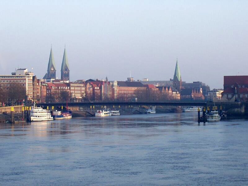
Bremen (Low German also: ''Breem'' or ''Bräm''), officially the City Municipality of Bremen (german: Stadtgemeinde Bremen, ), is the capital of the German state Free Hanseatic City of Bremen (''Freie Hansestadt Bremen''), a two-city-state consisting of the cities of Bremen and Bremerhaven. With about 570,000 inhabitants, the Hanseatic city is the 11th largest city of Germany and the second largest city in Northern Germany after Hamburg. Bremen is the largest city on the River Weser, the longest river flowing entirely in Germany, lying some upstream from its mouth into the North Sea, and is surrounded by the state of Lower Saxony. A commercial and industrial city, Bremen is, together with Oldenburg and Bremerhaven, part of the Bremen/Oldenburg Metropolitan Region, with 2.5 million people. Bremen is contiguous with the Lower Saxon towns of Delmenhorst, Stuhr, Achim, Weyhe, Schwanewede and Lilienthal. There is an exclave of Bremen in Bremerhaven, the "Citybremian Overseas Port ... [...More Info...] [...Related Items...] OR: [Wikipedia] [Google] [Baidu] |
Beckedorf
Beckedorf is a municipality in the district of Schaumburg, in Lower Saxony, Germany Germany,, officially the Federal Republic of Germany, is a country in Central Europe. It is the second most populous country in Europe after Russia, and the most populous member state of the European Union. Germany is situated betwe .... References Municipalities in Lower Saxony Schaumburg {{Schaumburg-geo-stub ... [...More Info...] [...Related Items...] OR: [Wikipedia] [Google] [Baidu] |


