|
Berenkuil (traffic)
A berenkuil (a Dutch word meaning a bear pit) is a type of traffic circle found in the Netherlands. In this construction, automotive traffic is directed around a raised outer circle. This leaves a sunken open space in the center of the circle which is used for bicycle paths. Perhaps the first berenkuil, and the one that gives its name to this type of circle, is the one in Utrecht, built in 1944. There are several theories for the origin of its name, including the possibility that an actual bear pit was located there, or that it was named in honor of the British 49th (West Riding) Infantry Division, nicknamed the polar bears, who liberated Utrecht from the Nazis. Other examples * In Eindhoven, the Berenkuil (a traffic circle of the same type on the city's ring road, officially known as Insulindeplein) has become an official free zone for graffiti and has been the site of graffiti festivals. In 2011, a new roundabout for cyclists shaped as a kind of “inverted berenkuil”, name ... [...More Info...] [...Related Items...] OR: [Wikipedia] [Google] [Baidu] |
Hovenring
The Hovenring is a suspended cycle path roundabout in the province of North Brabant in the Netherlands. It is situated between the localities of Eindhoven, Veldhoven, and Meerhoven, which accounts for its name, and is the first of its kind in the world. History The Hovenring was first conceived of in 2008, when increased traffic between Eindhoven and Veldhoven was starting to overwhelm the capacity of the roundabout on the crossing of the roads known as ''Heerbaan'' in Veldhoven and the ''Meerenakkerweg'' (''Heistraat''). In order to improve the flow of traffic and improve safety, it was decided to completely separate motorized and bicycle traffic. In addition, it was decided to transform the roundabout for cars into a regular crossing of streets, to improve the flow of traffic. This left a decision to be made about what to do about the bicycle traffic. The city council of Eindhoven decided that they wanted to develop an eye-catching project, in keeping with ambitions of the '' ... [...More Info...] [...Related Items...] OR: [Wikipedia] [Google] [Baidu] |
Tallinn
Tallinn () is the most populous and capital city of Estonia. Situated on a bay in north Estonia, on the shore of the Gulf of Finland of the Baltic Sea, Tallinn has a population of 437,811 (as of 2022) and administratively lies in the Harju '' maakond'' (county). Tallinn is the main financial, industrial, and cultural centre of Estonia. It is located northwest of the country's second largest city Tartu, however only south of Helsinki, Finland, also west of Saint Petersburg, Russia, north of Riga, Latvia, and east of Stockholm, Sweden. From the 13th century until the first half of the 20th century, Tallinn was known in most of the world by variants of its other historical name Reval. Tallinn received Lübeck city rights in 1248,, however the earliest evidence of human population in the area dates back nearly 5,000 years. The medieval indigenous population of what is now Tallinn and northern Estonia was one of the last " pagan" civilisations in Europe to adopt Christia ... [...More Info...] [...Related Items...] OR: [Wikipedia] [Google] [Baidu] |
Brussels
Brussels (french: Bruxelles or ; nl, Brussel ), officially the Brussels-Capital Region (All text and all but one graphic show the English name as Brussels-Capital Region.) (french: link=no, Région de Bruxelles-Capitale; nl, link=no, Brussels Hoofdstedelijk Gewest), is a region of Belgium comprising 19 municipalities, including the City of Brussels, which is the capital of Belgium. The Brussels-Capital Region is located in the central portion of the country and is a part of both the French Community of Belgium and the Flemish Community, but is separate from the Flemish Region (within which it forms an enclave) and the Walloon Region. Brussels is the most densely populated region in Belgium, and although it has the highest GDP per capita, it has the lowest available income per household. The Brussels Region covers , a relatively small area compared to the two other regions, and has a population of over 1.2 million. The five times larger metropolitan area of Brussel ... [...More Info...] [...Related Items...] OR: [Wikipedia] [Google] [Baidu] |
Leiden
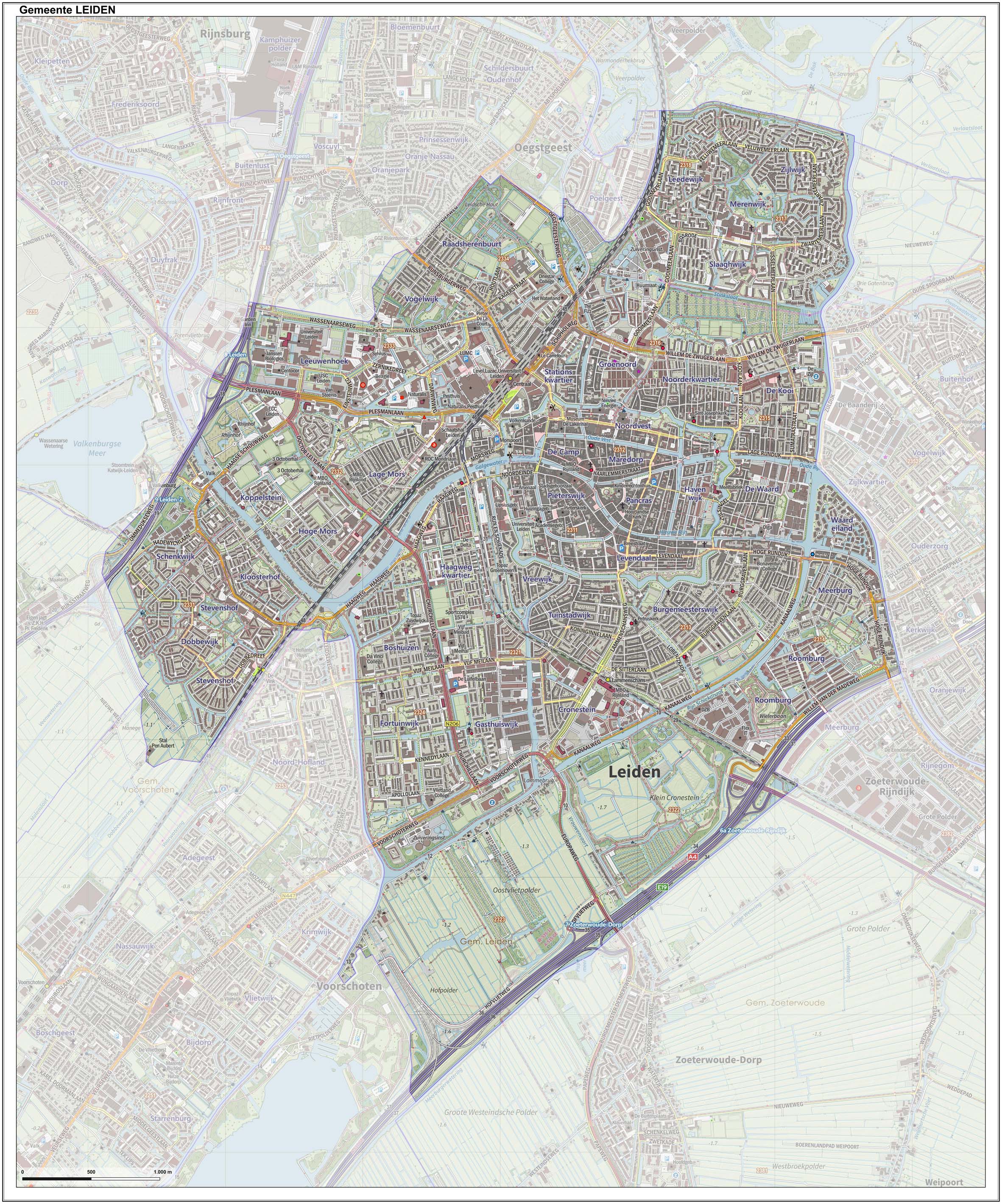
Leiden (; in English and archaic Dutch also Leyden) is a city and municipality in the province of South Holland, Netherlands. The municipality of Leiden has a population of 119,713, but the city forms one densely connected agglomeration with its suburbs Oegstgeest, Leiderdorp, Voorschoten and Zoeterwoude with 206,647 inhabitants. The Netherlands Central Bureau of Statistics (CBS) further includes Katwijk in the agglomeration which makes the total population of the Leiden urban agglomeration 270,879, and in the larger Leiden urban area also Teylingen, Noordwijk, and Noordwijkerhout are included with in total 348,868 inhabitants. Leiden is located on the Oude Rijn, at a distance of some from The Hague to its south and some from Amsterdam to its north. The recreational area of the Kaag Lakes ( Kagerplassen) lies just to the northeast of Leiden. A university city since 1575, Leiden has been one of Europe's most prominent scientific centres for more than four centuri ... [...More Info...] [...Related Items...] OR: [Wikipedia] [Google] [Baidu] |
Rijssen
Rijssen (; nds-nl, Riesn, ) is a city in the Dutch province of Overijssel. It is part of Rijssen-Holten, one of thirteen municipalities in Twente. It has almost 28,000 inhabitants. The economy of Rijssen relies mostly on commerce and construction and transport companies. History Archeological evidence shows that the monk Lebuinus founded a church in Rijssen, as early as the seventh century, as part of a coordinated attempt to convert the local pagan Saxons to Christianity, though other archaeological finds, such as urns and grave mounds suggest habitation dating back as far as 5,000 years. Rijssen was first mentioned as ''Parrochia Risnen'' on a freight letter dating from 1188 by the Count of Dalen. After having a disagreement with the Viscount of Goor, Bishop Otto III van Holland granted city rights to Rijssen on 5 May 1243. The original city rights bill was lost in a large fire that swept through the town, reducing the town hall and the keep to rubble. In 2006, however ... [...More Info...] [...Related Items...] OR: [Wikipedia] [Google] [Baidu] |
Tiel
Tiel () is a municipality and a town in the middle of the Netherlands. The town is enclosed by the Waal river and the Linge river to the South and the North, and the Amsterdam-Rhine Canal to the East. Tiel comprises the population centres Kapel-Avezaath, Tiel and Wadenoijen. The city was founded in the 5th century CE. The town of Tiel Tiel is the largest town in the Betuwe area, which is famous for being one of the centres of Dutch fruit production. Orchards in the area produce apples, pears, plums and cherries. Tiel once housed the famous jam factory ''De Betuwe''. After production was moved to Breda in 1993, the entire complex was demolished, although a part was reconstructed later. Reminding of this industry is a jam manufacturing museum and a statue of Flipje, the raspberry-based comic figure who starred in De Betuwe's, jam factory advertisements since the 1930s. Originally located on the Linge river Tiel became an important centre of trade in the early Middle Ages ... [...More Info...] [...Related Items...] OR: [Wikipedia] [Google] [Baidu] |
Arnhem
Arnhem ( or ; german: Arnheim; South Guelderish: ''Èrnem'') is a Cities of the Netherlands, city and List of municipalities of the Netherlands, municipality situated in the eastern part of the Netherlands about 55 km south east of Utrecht. It is the capital of the Provinces of the Netherlands, province of Gelderland, located on both banks of the rivers Nederrijn and Sint-Jansbeek, which was the source of the city's development. Arnhem had a population of 163.972 on 1 December 2021, which made it one of the larger cities of the Netherlands. The municipality is part of the Arnhem–Nijmegen metropolitan area, which has a combined number of 774,506 inhabitants on 31 January 2022. Arnhem is home to the Hogeschool van Arnhem en Nijmegen, ArtEZ Institute of the Arts, Netherlands Open Air Museum, Airborne Museum 'Hartenstein', Royal Burgers' Zoo, NOC*NSF and National Sports Centre Papendal. The north corner of the municipality is part of the Hoge Veluwe National Park. It is approximate ... [...More Info...] [...Related Items...] OR: [Wikipedia] [Google] [Baidu] |
Berenkuil Leiden
{{Dab ...
Berenkuil, Dutch for "bear pit", may refer to: *Berenkuil (traffic), a type of traffic circle with a separate ring for bicycles *Berenkuil, Eindhoven, a traffic circle in Eindhoven, Netherlands See also *Bear pit (other) A bear pit is an enclosure used to display bears, often for entertainment and bear-baiting. Bear pit, or Bear Pit, may also refer to: * ''Bear Pit'' (novel), a 2000 novel by Australian author Jon Cleary * The Bearpit, Bristol, a roundabout and o ... [...More Info...] [...Related Items...] OR: [Wikipedia] [Google] [Baidu] |
Veldhoven
Veldhoven () is a municipality and town on the Gender in the southern Netherlands, just southwest of Eindhoven. Topography Dutch topographic map of Veldhoven (town), Dec. 2013 Population centres The modern town of Veldhoven is an agglomeration of formerly rural villages that in the twentieth century grew together to form one large suburban area catering to Eindhoven commuter needs. The villages are Veldhoven proper to the southwest, Meerveldhoven to the southeast, Oerle to the west and Zeelst to the northeast. A new city center was constructed between Zeelst and Veldhoven. Economy Veldhoven is home to the headquarters of the manufacturer of high-tech (semiconductor) lithography equipment ASML. As of 2022, the company employs over 14,000 people—equivalent to nearly one third of the town's population. ASML occupies the tallest building (83 meters) in Veldhoven. The municipality features a large industrial and office area along the Gender, which also includes the second-l ... [...More Info...] [...Related Items...] OR: [Wikipedia] [Google] [Baidu] |
Graffiti
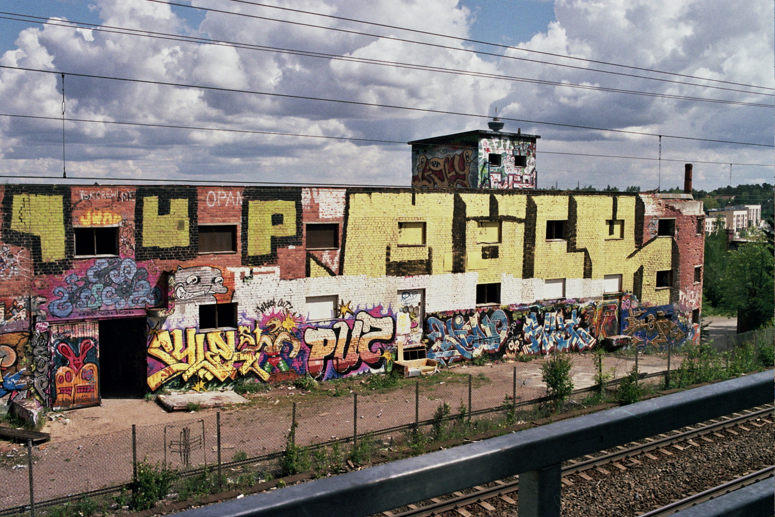
Graffiti (plural; singular ''graffiti'' or ''graffito'', the latter rarely used except in archeology) is art that is written, painted or drawn on a wall or other surface, usually without permission and within public view. Graffiti ranges from simple written words to elaborate wall paintings, and has existed Graffito (archaeology), since ancient times, with examples dating back to ancient Egypt, ancient Greece, and the Roman Empire. Graffiti is a controversial subject. In most countries, marking or painting property without permission is considered by property owners and civic authorities as defacement and vandalism, which is a punishable crime, citing the use of graffiti by street gangs to mark territory or to serve as an indicator of gang-related activities. Graffiti has become visualized as a growing urban "problem" for many cities in industrialized nations, spreading from the New York City Subway nomenclature, New York City subway system and Philadelphia in the early 1970s to ... [...More Info...] [...Related Items...] OR: [Wikipedia] [Google] [Baidu] |


