|
Albești, Mureș
Albești (until 1924 ''Ferihaz''; hu, Fehéregyháza, Hungarian pronunciation: ; german: Weißkirch) is a commune in Mureș County, Transylvania, Romania. It is composed of nine villages: Albești, Bârlibășoaia (''Barlabástanya''), Boiu (''Bún''), Jacu (''Oláhzsákod''), Șapartoc (''Sárpatak'', "Muddy River"), Țopa (''Alsóbún''), Valea Albeștiului (''Sárpataki út''), Valea Dăii (''Határpatak''), and Valea Șapartocului (''Sárpatakivölgy''). The commune lies on the Transylvanian Plateau, on the banks of the river Târnava Mare. It is located in the southern part of Mureș County, east of Sighișoara, on the border with Harghita County. Albești is crossed by national road , which connects Brașov to Sighișoara and Târgu Mureș, the county seat. The Albești train station serves the CFR Line 300 that runs from Bucharest to Cluj-Napoca. See also * List of Hungarian exonyms (Mureș County) Gallery Image:Șapartoc.jpg, Șapartoc from the country path to Sighi ... [...More Info...] [...Related Items...] OR: [Wikipedia] [Google] [Baidu] |
Battle Of Segesvár
The Battle of Segesvár (Transylvania, now Sighișoara, Romania), also called the Battle of Fehéregyháza, was a battle in the Hungarian Revolution of 1848, fought on 31 July 1849 between the Hungarian revolutionary army under the command of Lieutenant General Józef Bem and the Russian V Corps under General Alexander von Lüders. The battle ended with the victory of the Russian army, which was presumably the death location of Hungarian poet and national hero Sándor Petőfi, though his body was never found. Furthermore, The Chief of Staff Russian V corps, General Grigory Skariatin was killed at the battle. Although heavy, the defeat was not decisive for the Hungarian army of Transylvania, Lieutenant General Józef Bem continuing his resistance in this province until the Battle of Nagycsűr from 6 August 1849. Background Between 20–21 July, after several battles, Lieutenant General Józef Bem chased out the Austrian corps of Transylvania commanded by General Eduard Clam- ... [...More Info...] [...Related Items...] OR: [Wikipedia] [Google] [Baidu] |
Brașov
Brașov (, , ; german: Kronstadt; hu, Brassó; la, Corona; Transylvanian Saxon: ''Kruhnen'') is a city in Transylvania, Romania and the administrative centre of Brașov County. According to the latest Romanian census (2011), Brașov has a population of 253,200 making it the 7th most populous city in Romania. The metropolitan area is home to 382,896 residents. Brașov is located in the central part of the country, about north of Bucharest and from the Black Sea. It is surrounded by the Southern Carpathians and is part of the historical region of Transylvania. Historically, the city was the center of the Burzenland, once dominated by the Transylvanian Saxons, and a significant commercial hub on the trade roads between Austria (then Archduchy of Austria, within the Habsburg monarchy, and subsequently Austrian Empire) and Turkey (then Ottoman Empire). It is also where the national anthem of Romania was first sung. Names Brassovia, Brassó, Brașov, etc. According to Dragoș Mo ... [...More Info...] [...Related Items...] OR: [Wikipedia] [Google] [Baidu] |
Communes In Mureș County
An intentional community is a voluntary residential community which is designed to have a high degree of social cohesion and teamwork from the start. The members of an intentional community typically hold a common social, political, religious, or spiritual vision, and typically share responsibilities and property. This way of life is sometimes characterized as an "alternative lifestyle". Intentional communities can be seen as social experiments or communal experiments. The multitude of intentional communities includes collective households, cohousing communities, coliving, ecovillages, monasteries, survivalist retreats, kibbutzim, hutterites, ashrams, and housing cooperatives. History Ashrams are likely the earliest intentional communities founded around 1500 BCE, while Buddhist monasteries appeared around 500 BCE. Pythagoras founded an intellectual vegetarian commune in about 525 BCE in southern Italy. Hundreds of modern intentional communities were formed across Europ ... [...More Info...] [...Related Items...] OR: [Wikipedia] [Google] [Baidu] |
List Of Hungarian Exonyms (Mureș County)
This is a list of Hungarian names for towns and communes in Mureș County, Transylvania, Romania. {{DEFAULTSORT:List of Hungarian exonyms (Mures County) Mures County Hungarian exonyms in Mures Hungarian Hungarian Exonyms An endonym (from Greek: , 'inner' + , 'name'; also known as autonym) is a common, ''native'' name for a geographical place, group of people, individual person, language or dialect, meaning that it is used inside that particular place, group, ... Hungarian ... [...More Info...] [...Related Items...] OR: [Wikipedia] [Google] [Baidu] |
Cluj-Napoca
; hu, kincses város) , official_name=Cluj-Napoca , native_name= , image_skyline= , subdivision_type1 = Counties of Romania, County , subdivision_name1 = Cluj County , subdivision_type2 = Subdivisions of Romania, Status , subdivision_name2 = County seat , settlement_type = Municipiu, City , leader_title = Mayor , leader_name = Emil Boc , leader_party = National Liberal Party (Romania), PNL , leader_title1 = Deputy Mayor , leader_name1 = Dan Tarcea (PNL) , leader_title2 = Deputy Mayor , leader_name2 = Emese Oláh (Democratic Alliance of Hungarians in Romania, UDMR) , leader_title3 = City Manager , leader_name3 = Gheorghe Șurubaru (PNL) , established_title= Founded , established_date = 1213 (first official record as ''Clus'') , area_total_km2 = 179.5 , area_total_sq_mi = 69.3 , area_metro_km2 = 1537.5 , elevation_m = 340 , population_as_of = 2011 Romanian census, 2011 , population_total = 324,576 , population_foot ... [...More Info...] [...Related Items...] OR: [Wikipedia] [Google] [Baidu] |
Bucharest
Bucharest ( , ; ro, București ) is the capital and largest city of Romania, as well as its cultural, industrial, and financial centre. It is located in the southeast of the country, on the banks of the Dâmbovița River, less than north of the Danube River and the Bulgarian border. Bucharest was first mentioned in documents in 1459. The city became the capital of Romania in 1862 and is the centre of Romanian media, culture, and art. Its architecture is a mix of historical (mostly Eclectic, but also Neoclassical and Art Nouveau), interbellum ( Bauhaus, Art Deco and Romanian Revival architecture), socialist era, and modern. In the period between the two World Wars, the city's elegant architecture and the sophistication of its elite earned Bucharest the nickname of 'Paris of the East' ( ro, Parisul Estului) or 'Little Paris' ( ro, Micul Paris). Although buildings and districts in the historic city centre were heavily damaged or destroyed by war, earthquakes, and even Nic ... [...More Info...] [...Related Items...] OR: [Wikipedia] [Google] [Baidu] |
Căile Ferate Române Line 300
Line 300 is one of Căile Ferate Române's main lines in Romania, having a total length of . The main line, connecting Bucharest with the Hungarian border near Oradea, passes through Ploiești, Brașov, Sighișoara, Teiuș and Cluj-Napoca. The section between Bucharest and Ploiești is shared with CFR line 500. The section between Câmpina and Predeal Predeal (; hu, Predeál) is a town in Brașov County, Transylvania, Romania. Predeal, a mountain resort town, is the highest town in Romania. It is located in the Prahova Valley at an elevation of over . The town administers three villages: ... was upgraded between 2007 and 2011, bringing several improvements to the infrastructure along the route. Secondary lines References Railway lines in Romania Standard gauge railways in Romania {{Europe-rail-transport-stub ... [...More Info...] [...Related Items...] OR: [Wikipedia] [Google] [Baidu] |
Căile Ferate Române
Căile Ferate Române (; abbreviated as the CFR) is the state railway carrier of Romania. As of 2014, the railway network of Romania consists of , of which (37.4%) are electrified. The total track length is , of which (38.5%) are electrified. The CIA World Factbook lists Romania with the 23rd largest railway network in the world. The network is significantly interconnected with other European railway networks, providing pan-European passenger and freight services. CFR as an entity has been operating since 1880, even though the first railway on current Romanian territory was opened in 1854. CFR is divided into four autonomous companies: * ''CFR Călători'', responsible for passenger services; * '' CFR Marfă'', responsible for freight transport; * ''CFR Infrastructură'' or ''CFR S.A.'', manages the infrastructure on the Romanian railway network; and * ''Societatea Feroviară de Turism'', or SFT, which manages scenic and tourist railways. CFR is headquartered in Bucharest a ... [...More Info...] [...Related Items...] OR: [Wikipedia] [Google] [Baidu] |
Târgu Mureș
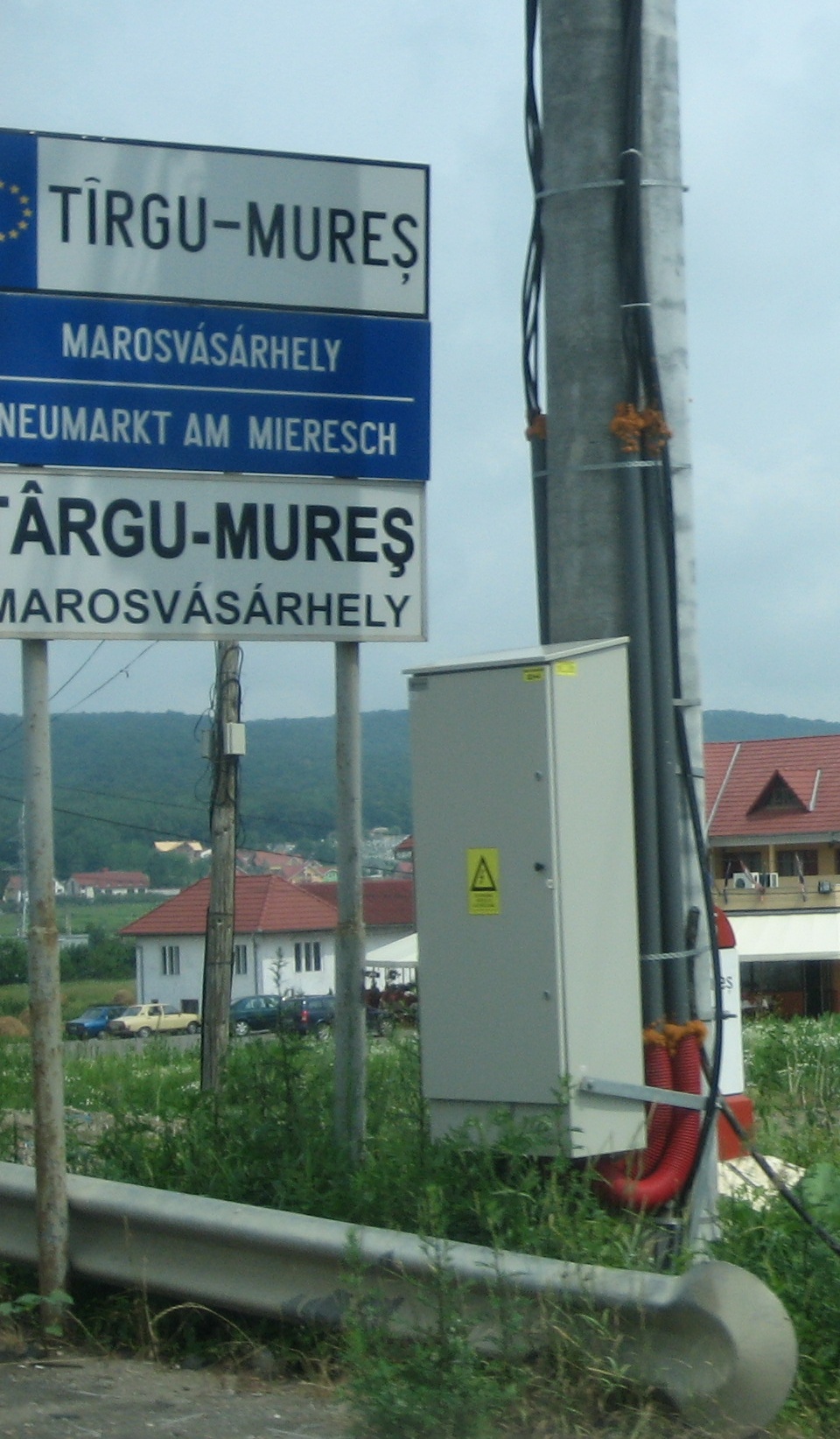
Târgu Mureș (, ; hu, Marosvásárhely ) is the seat of Mureș County in the historical region of Transylvania, Romania. It is the List of cities and towns in Romania, 16th largest Romanian city, with 134,290 inhabitants as of the 2011 Romanian census, 2011 census. It lies on the Mureș (river), Mureș River, the second longest river in Romania (after the Danube). Names and etymology The current Romanian language, Romanian name of the city, ''Târgu Mureș'', is the equivalent of the Hungarian language, Hungarian ''Marosvásárhely'', both meaning "market on the Mureș (river), Mureș (Maros) [River]". ''Târg'' means "market" in Romanian and ''vásárhely'' means "marketplace" in Hungarian. Local Hungarians often shorten ''Marosvásárhely'' to ''Vásárhely'' in speech. The Society of Jesus, Jesuit priest Martin Szentiványi provides the first known written reference naming the city; in his work ''Dissertatio Paralipomenonica Rerum Memorabilium Hungariae'' (written in 1699 ... [...More Info...] [...Related Items...] OR: [Wikipedia] [Google] [Baidu] |
Roads In Romania
Public roads in Romania are ranked according to importance and traffic as follows: *motorways (autostradă – pl. autostrăzi) – colour: green; designation: A followed by one or two digits *expressways (drum – pl. drumuri expres) – colour: red; designation: DX followed by one or two digits and an optional letter *national road (drum național – pl. drumuri naționale) – colour: red; designation: DN followed by one or two digits and an optional letter *county road (drum județean – pl. drumuri județene) – colour: blue; designation: DJ followed by three digits and an optional letter; unique numbers per county *local road (drum – pl. drumuri comunale) – colour: yellow; designated DC followed by a number and an optional letter; unique numbers per county Some of the national roads are part of the European route scheme. European routes passing through Romania: E58; E60; E70; E85; E79; E81; E68; E87 (Class A); E574; E576; E581; E583; E671; E771. As of ... [...More Info...] [...Related Items...] OR: [Wikipedia] [Google] [Baidu] |
Sándor Petőfi
Sándor Petőfi ( []; né Petrovics; sk, Alexander Petrovič; sr, Александар Петровић; 1 January 1823 – most likely 31 July 1849) was a Hungarian poet of Serbian origin and liberal revolutionary. He is considered Hungary's national poet, and was one of the key figures of the Hungarian Revolution of 1848. He is the author of the ''Nemzeti dal'' (National Song), which is said to have inspired the revolution in the Kingdom of Hungary that grew into a war for independence from the Austrian Empire. It is most likely that he died in the Battle of Segesvár, one of the last battles of the war. Early life Petőfi was born on the New Year's morning of 1823, in the town of Kiskőrös, Kingdom of Hungary. The population of Kiskőrös was predominantly of Slovak origin as a consequence of the Habsburgs' reconstruction policy designed to settle, where possible, non-Hungarians in areas devastated during the Turkish wars. His birth certificate, in Latin, gives his name as ... [...More Info...] [...Related Items...] OR: [Wikipedia] [Google] [Baidu] |
Harghita County
Harghita (, hu, Hargita megye, ) is a county (județ) in the center of Romania, in eastern Transylvania, with the county seat at Miercurea Ciuc. Demographics 2002 census In 2002, Harghita County had a population of 326,222 and a population density of 52/km2. * Hungarians – 84.62% (or 276,038) * Romanians – 14.06% (or 45,870) * Romani – 1.18% (or 3,835) * Others – 0.14% 2011 census In 2011, it had a population of 302,432 and a population density of 46/km2. * Hungarians – 85.21% (or 257,707) * Romanians – 12.96% (or 39,196) * Romani * Others – 1.76% (or 5,326). Harghita county has the highest percentage of Hungarians in Romania, just ahead of Covasna county. The Hungarians form the majority of the population in most of the county's municipalities, with Romanians concentrated in the northern and eastern part of the county (particularly Toplița and Bălan), as well as in the enclave of Voșlăbeni. The Székelys of Harghita are mostly Roman Catholic, ... [...More Info...] [...Related Items...] OR: [Wikipedia] [Google] [Baidu] |


