|
Aygavan
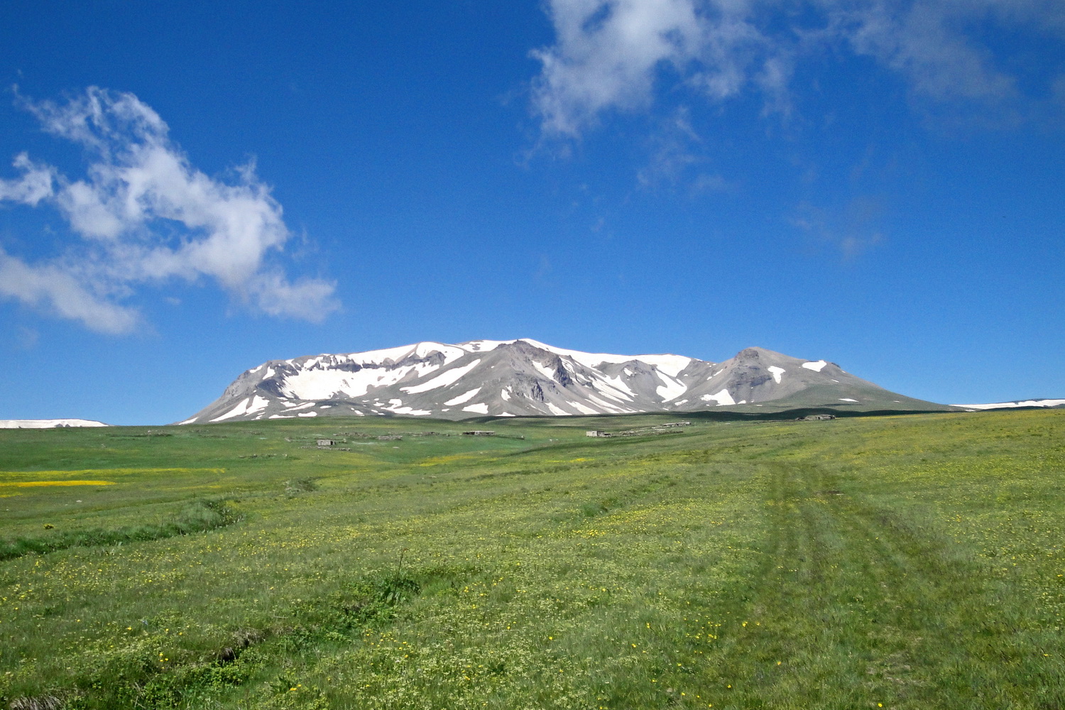
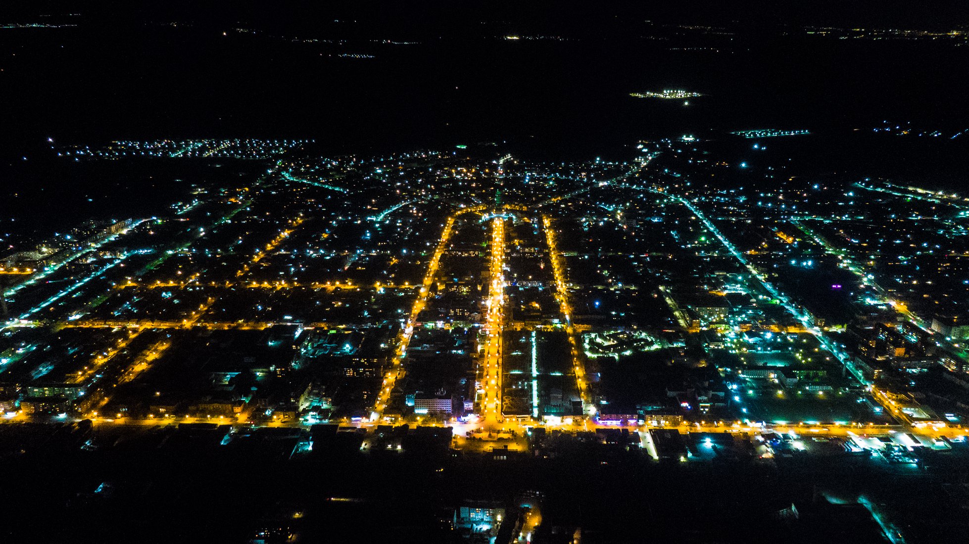
Aygavan ( hy, Այգավան) is a village in the Vedi Municipality of the Ararat Province of Armenia, located on the Yerevan-Meghri highway, near the Yerevan- Nakhchivan railway, at a height of 840 meters above sea level. Etymology The village is also known as ''Aygevan''. History Archaeologists have uncovered various antiquities around the village dated between 10 BCE and 8 BCE, such as clay pots and livestock of the early farmers of the area. The village was founded in 1828 and renamed Aygavan on April 4, 1946, when the Armenian SSR signed a decree to officially rename the village. Culture Aygavan has a middle school, a public library, a house of culture, an outpatient clinic and a post office. Industry Aygavan has a wine factory that is a branch of Ararat Brandy. Its main headquarters are in Yerevan, and it has branches in three other areas in Armenia, in Aygavan, Armavir, and in Tavush Tavush ( hy, Տավուշ, ) is a province of Armenia located at the north ... [...More Info...] [...Related Items...] OR: [Wikipedia] [Google] [Baidu] |
Ararat Province
Ararat ( hy, Արարատ, ), is a province ('' marz'') of Armenia. Its capital and largest city is the town of Artashat. The province is named after the biblical Mount Ararat. It is bordered by Turkey from the west and Azerbaijan's Nakhchivan Autonomous Republic from the south. It surrounds the Karki exclave of Nakhichevan which has been controlled by Armenia since its capture in May 1992 during the First Nagorno-Karabakh War. Domestically, Ararat is bordered by Armavir Province from the northwest, Kotayk Province from the north, Gegharkunik Province from the east, Vayots Dzor Province from the southeast and the city of Yerevan from the north. Two former capitals of Armenia are located in the modern-day Ararat Province, Artaxata and Dvin. It is also home to the Khor Virap monastery, significant as the place of Gregory the Illuminator's 13-year imprisonment and the closest point to Mount Ararat within Armenian borders. Etymology Ararat Province is named after the historic A ... [...More Info...] [...Related Items...] OR: [Wikipedia] [Google] [Baidu] |
Municipalities Of Armenia
A municipality in Armenia referred to as community ( hy, համայնք ''hamaynk'', plural: hy, համայնքներ ''hamaynkner''), is an administrative subdivision consisting of a settlement ( hy, բնակավայր ''bnakavayr'') or a group of settlements ( hy, բնակավայրեր ''bnakavayrer'') that enjoys local self-government. The settlements are classified as either towns ( hy, քաղաքներ ''kaghakner'', singular hy, քաղաք ''kaghak'') or villages ( hy, գյուղեր ''gyugher'', singular ( hy, գյուղ ''gyugh''). The administrative centre of a community could either be an urban settlement (town) or a rural settlement (village). Two-thirds of the population are now urbanized. As of 2017, 63.6% of Armenians live in urban areas as compared to 36.4% in rural. As of the end of 2017, Armenia has 503 municipal communities (including Yerevan) of which 46 are urban and 457 are rural. The capital, Yerevan, also has the status of a community. Each municipal ... [...More Info...] [...Related Items...] OR: [Wikipedia] [Google] [Baidu] |
Armenia
Armenia (), , group=pron officially the Republic of Armenia,, is a landlocked country in the Armenian Highlands of Western Asia.The UNbr>classification of world regions places Armenia in Western Asia; the CIA World Factbook , , and ''Oxford Reference Online'' also place Armenia in Asia. It is a part of the Caucasus region; and is bordered by Turkey to the west, Georgia to the north, the Lachin corridor (under a Russian peacekeeping force) and Azerbaijan to the east, and Iran and the Azerbaijani exclave of Nakhchivan to the south. Yerevan is the capital, largest city and the financial center. Armenia is a unitary, multi-party, democratic nation-state with an ancient cultural heritage. The first Armenian state of Urartu was established in 860 BC, and by the 6th century BC it was replaced by the Satrapy of Armenia. The Kingdom of Armenia reached its height under Tigranes the Great in the 1st century BC and in the year 301 became the first state in the world to adopt ... [...More Info...] [...Related Items...] OR: [Wikipedia] [Google] [Baidu] |
Provinces Of Armenia
Countries' first-level (top-level) administrative division Administrative division, administrative unit,Article 3(1). country subdivision, administrative region, subnational entity, constituent state, as well as many similar terms, are generic names for geographical areas into which a particular, ind ...s. ''Please note:'' This category's subcategories contain articles on each subdivision of the country while each directly included article considers the subdivisions structure of the country. ''Further note:'' This category's subcategories are indexed according to country, but its directly included articles are not: they are indexed by type of subdivision (provinces, counties, etc). Articles with non-English subdivision terms in their titles either have their redirects indexed instead, or are indexed by the common English translation for said subdivision. This facilitates comparisons between similarly named subdivisions. {{CatAutoTOC 1st-level ... [...More Info...] [...Related Items...] OR: [Wikipedia] [Google] [Baidu] |
Vedi Municipality
Vedi ( hy, Վեդի), is a town and urban municipal community in the Ararat Province of Armenia, located along the Vedi River, south of the capital Yerevan, and southeast of the provincial centre Artashat. According to the 2011 census, the population of the town was 11,384. As per the 2016 official estimate, Vedi has a population of around 10,600. Etymology The name ''Vedi'' is derived from the Arabic word ''wadi'' ( ar, وادي), meaning ''valley''. It may have been incorporated into Armenian through the Persian language. The town has been occasionally known as ''Verin Vedi'' (''Upper Vedi'' in Armenian). It was officially renamed ''Vedi'' in 1946. History The territory of Vedi has been settled since the Urartian period. However, the name Vedi was first mentioned during the 13th century by historian Stephen Orbelian in his book ''History of the Province of Syunik''. Following the Russo-Persian War of 1826–1828 and the signing of the Treaty of Turkmenchay between Qajar ... [...More Info...] [...Related Items...] OR: [Wikipedia] [Google] [Baidu] |
Armenia Time
Armenia Time (AMT) is a time zone used in Armenia. Armenia Time is four hours ahead of UTC at UTC+04:00. Clock time is about one hour later than solar noon in Armenia. Consequently, population activity hours are similar to those in Paris or Barcelona, which have about the same shift to solar time. They are about one hour later compared to those in Berlin and Vienna, and are two hours later than those in Warsaw and New York. Daylight saving time Armenia does not utilize Daylight saving time. The Government of Armenia issued a decree that cancelled the observance of daylight saving time, otherwise known as Armenia Summer Time (AMST) in 2012. Other time zones in UTC +4 Some time zones exist that have the same offset as AMT, but can be found under a different name in other countries, these include: [...More Info...] [...Related Items...] OR: [Wikipedia] [Google] [Baidu] |
Yerevan
Yerevan ( , , hy, Երևան , sometimes spelled Erevan) is the capital and largest city of Armenia and one of the world's List of oldest continuously inhabited cities, oldest continuously inhabited cities. Situated along the Hrazdan River, Yerevan is the administrative, cultural, and industrial center of the country, as its primate city. It has been the Historical capitals of Armenia, capital since 1918, the Historical capitals of Armenia, fourteenth in the history of Armenia and the seventh located in or around the Ararat Plain. The city also serves as the seat of the Araratian Pontifical Diocese, which is the largest diocese of the Armenian Apostolic Church and one of the oldest dioceses in the world. The history of Yerevan dates back to the 8th century BCE, with the founding of the fortress of Erebuni Fortress, Erebuni in 782 BCE by King Argishti I of Urartu, Argishti I of Urartu at the western extreme of the Ararat Plain. Erebuni was "designed as a great administrative an ... [...More Info...] [...Related Items...] OR: [Wikipedia] [Google] [Baidu] |
Nakhchivan (city)
Nakhchivan ( az, Naxçıvan ; arm, Նախիջևան, Nakhijevan) is the capital of the eponymous Nakhchivan Autonomous Republic of Azerbaijan, located west of Baku. The municipality of Nakhchivan consists of the city of Nakhchivan, the settlement of Əliabad, Nakhchivan, Əliabad and the villages of Başbaşı, Bulqan, Haciniyyət, Qaraçuq, Qaraxanbəyli, Nakhchivan, Qaraxanbəyli, Tumbul, Qarağalıq, and Daşduz. It is spread over the foothills of Zangezur Mountains, on the right bank of the Nakhchivan River at an altitude of above sea level. Toponymy The city's official Azerbaijani spelling is Nakhchivan ( az, Naxçıvan). The name is transliterated from Persian as Nakhjavan ( fa, نخجوان). The city's name is transliterated from Russian as Nakhichevan' (russian: Нахичевань) and from Armenian as Nakhijevan ( arm, Նախիջևան, Naxiǰewan). The city was first mentioned in Ptolemy's ''Geography (Ptolemy), Geography'' as ''Naxuana'' ( grc, Ναξουὰν� ... [...More Info...] [...Related Items...] OR: [Wikipedia] [Google] [Baidu] |
Armenian SSR
The Armenian Soviet Socialist Republic,; russian: Армянская Советская Социалистическая Республика, translit=Armyanskaya Sovetskaya Sotsialisticheskaya Respublika) also commonly referred to as Soviet Armenia or Armenia, ; rus, Армения, r=Armeniya, p=ɐrˈmʲenʲɪjə) was one of the constituent republics of the Soviet Union in December 1922 located in the South Caucasus region of Eurasia. It was established in December 1920, when the Soviets took over control of the short-lived First Republic of Armenia, and lasted until 1991. Historians sometimes refer to it as the Second Republic of Armenia, following the demise of the First Republic. As part of the Soviet Union, the Armenian SSR transformed from a largely agricultural hinterland to an important industrial production center, while its population almost quadrupled from around 880,000 in 1926 to 3.3 million in 1989 due to natural growth and large-scale influx of Armenian genoc ... [...More Info...] [...Related Items...] OR: [Wikipedia] [Google] [Baidu] |
Cultural House Of Aygavan
Culture () is an umbrella term which encompasses the social behavior, institutions, and norms found in human societies, as well as the knowledge, beliefs, arts, laws, customs, capabilities, and habits of the individuals in these groups.Tylor, Edward. (1871). Primitive Culture. Vol 1. New York: J.P. Putnam's Son Culture is often originated from or attributed to a specific region or location. Humans acquire culture through the learning processes of enculturation and socialization, which is shown by the diversity of cultures across societies. A cultural norm codifies acceptable conduct in society; it serves as a guideline for behavior, dress, language, and demeanor in a situation, which serves as a template for expectations in a social group. Accepting only a monoculture in a social group can bear risks, just as a single species can wither in the face of environmental change, for lack of functional responses to the change. Thus in military culture, valor is counted a typical be ... [...More Info...] [...Related Items...] OR: [Wikipedia] [Google] [Baidu] |
Armavir, Armenia
Armavir ( hy, Արմավիր), is a town and urban municipal community located in the west of Armenia serving as the administrative centre of Armavir Province. It was founded in 1931 by the government of the Armenian Soviet Socialist Republic. As of the 2011 census, the population of the town is 29,319, declined from 46,900 reported at the 1989 census. Currently, the town has a population of 37,053 as per the 2019 official estimate. The town was known as Sardarabad before 1935, and Hoktemberyan from 1935 to 1995. Currently, Armavir is the seat of the Diocese of Armavir of the Armenian Apostolic Church. Etymology Founded in 1931 as Sardarabad, the town was known as Hoktemberyan (meaning the ''city of October'') between 1935 and 1995, named in honor of the October Revolution. In 1992, the town was named Armavir by the government of independent Armenia, after the nearby ancient city of Armavir, that was founded in the 8th century BC by King Argishti I of Urartu, and became the ... [...More Info...] [...Related Items...] OR: [Wikipedia] [Google] [Baidu] |


