|
Auckland Transport
Auckland Transport (AT) is the council-controlled organisation (CCO) of Auckland Council responsible for transport projects and services. It was established by section 38 of the Local Government (Auckland Council) Act 2009, and operates under that act and the Local Government (Auckland Transitional Provisions) Act 2010. Auckland Transport began operating from 1 November 2010, at the inauguration of Auckland Council. It assumed the role of the Auckland Regional Transport Authority (ARTA) and the combined transport functions of Auckland's seven city and district councils, all of which were disestablished. Operations and staff AT is responsible for the Auckland Region's transport infrastructure (excluding state highways and railway tracks) and public transport. It designs, builds and maintains roads, ferry wharves, cycleways and walkways; co-ordinates road safety and community transport initiatives; and it plans, co-ordinates and funds bus, train and ferry services. It is the ... [...More Info...] [...Related Items...] OR: [Wikipedia] [Google] [Baidu] |
Council-controlled Organisation
Council-controlled organisations (CCOs) and council-controlled trading organisations in New Zealand are what were formerly known as '' local-authority trading enterprises'' (''LATEs''). Introduced under Sections 6 and 7 of the ''Local Government Act 2002'', they are essentially any company with a majority council shareholding, or a trust or similar organisation with a majority of council-controlled votes or council-appointed trustees, ''unless'' designated otherwise. More than one council may be represented in a council-controlled organisation. They are used for widely varying purposes by councils. For example, the Wellington City Council uses trusts to hold museums and its zoo, while in 1996 the Horowhenua District Council transferred its library functions to the Horowhenua Library Trust. In the past, the erstwhile for-profit LATEs were seen as the local government equivalent of state-owned enterprises (SOEs). Many of these, which included bus companies, diagnostic laboratories, ... [...More Info...] [...Related Items...] OR: [Wikipedia] [Google] [Baidu] |
List Of Auckland Railway Stations
This is a list of the railway stations in the public transport network of Auckland. It includes closed and planned stations. Auckland has 13 fare zones, with some zone overlap areas. The routes shown pass into and out of central, western, eastern, and southern zones. Ownership and operation Station platforms on the Auckland suburban network are owned by KiwiRail, who are responsible for building stations. Structures on the platforms (station buildings, shelters, lights, signage etc.) are owned by Auckland Transport, who are responsible for the operation and maintenance of stations. The Britomart Transport Centre, Newmarket Railway Station and New Lynn Transport Centre are owned and managed by Auckland Transport. Ticket office and platform staff, as well as train operating staff, are employed by Auckland One Rail. Train services using stations in Auckland include suburban trains, which are owned by Auckland Transport and operated by Auckland One Rail, and the Northern Expl ... [...More Info...] [...Related Items...] OR: [Wikipedia] [Google] [Baidu] |
Politics Of The Auckland Region
Politics (from , ) is the set of activities that are associated with making decisions in groups, or other forms of power relations among individuals, such as the distribution of resources or status. The branch of social science that studies politics and government is referred to as political science. It may be used positively in the context of a "political solution" which is compromising and nonviolent, or descriptively as "the art or science of government", but also often carries a negative connotation.. The concept has been defined in various ways, and different approaches have fundamentally differing views on whether it should be used extensively or limitedly, empirically or normatively, and on whether conflict or co-operation is more essential to it. A variety of methods are deployed in politics, which include promoting one's own political views among people, negotiation with other political subjects, making laws, and exercising internal and external force, including wa ... [...More Info...] [...Related Items...] OR: [Wikipedia] [Google] [Baidu] |
Transport In Auckland
Transport in Auckland, New Zealand's largest city, is defined by factors that include the shape of the Auckland isthmus (with its harbours creating chokepoints and long distances for land transport), the suburban character of much of the urban area, a history (since World War II) of focusing investment on roading projects rather than public transport,Backtracking Auckland: Bureaucratic rationality and public preferences in transport planning'' – Mees, Paul; Dodson, Jago; Urban Research Program Issues Paper 5, Griffith University, April 2006 and high car-ownership rates. These factors have contributed to a transport system that is highly dependent on private motor vehicles. Several motorways radiating to the north, northwest, southwest and south act as the backbone of the city's road network, with the busiest section of motorway carrying over 200,000 vehicles a day. The use of public transport in Auckland was high until the 1950s but subsequently declined during the second half o ... [...More Info...] [...Related Items...] OR: [Wikipedia] [Google] [Baidu] |
Hinaki Eel Trap Bridge
The Hinaki Bridge, also known as the Eel Trap Bridge, is a 20 metre long footbridge located in War Memorial Park (off Gifford Avenue), Mount Roskill, Auckland, New Zealand. The bridge spans over Oakley Creek and is used by cyclists and pedestrians. The culturally enriched architectural footbridge forms part of the wider Dominion Road Upgrade project led by Auckland Transport. The design and construction team comprises Beca (bridge architects and engineers), Dempsey Wood (contractor) and Eastbridge (steel fabricators). The concept for the bridge was developed by Beca in close collaboration with six iwi groups, the Puketapapa Local Board and Auckland Council Parks. The bridge is owned by Auckland Transport. Background Beca began the concept stage in May 2014 and led the project through to stakeholder buy-in, detailed design, building consent, through to construction. Beca were responsible for Bridge Architecture, Landscape Design and Engineering for all works associated wit ... [...More Info...] [...Related Items...] OR: [Wikipedia] [Google] [Baidu] |
AT HOP Card
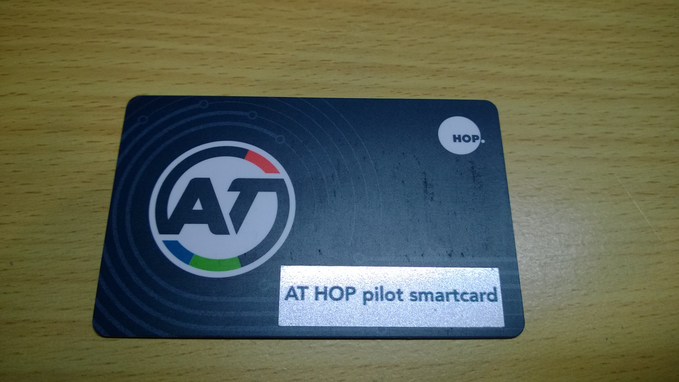
The AT HOP card is an electronic fare payment card that was released in two versions on Auckland public transport services, beginning in May 2011. The smart card roll out was the first phase in the introduction of an integrated ticketing and fares system (Auckland Integrated Fares System, or "AIFS") that was rolled out across the region. The first iteration of the card – commonly referred to as the "purple HOP card" – was discontinued in 2012 because of issues with the delivery of key technologies. The current card, called the AT HOP card, is in use on all ferry, train and bus services in Auckland. The rollout of the card to all three transport modes was completed in March 2014. Card operation The AT HOP card is a dark blue credit-card-sized stored-value contactless smartcard that can hold prepaid funds (called HOP Money) to pay for fares or for monthly passes for unlimited travel within one or more of three "transport zones". Either facility must be added to the card ... [...More Info...] [...Related Items...] OR: [Wikipedia] [Google] [Baidu] |
AT Metro
AT Metro is the public transport brand in Auckland, New Zealand, managed by Auckland Transport. It was launched in December 2014, following the decommissioning of the MAXX brand with updated bus and train liveries, staff uniforms, wayfinding signage and a refreshed external communications identity. Usage Bus operator contracts were updated in late-2014 requiring fleets to be repainted in AT Metro livery in tandem with their standard maintenance schedule. Staff uniforms are also to be rolled out within a similar timeframe. Auckland Transport's new electric train fleet was manufactured with the new livery. Liveries differ depending on the service, with rapid transit services ( Northern Express bus and rail) in AT Blue and AT Silver accented in yellow highlights; specialty bus services ( Link and Airporter) in custom, distinguishable colours; and other bus services in AT Blue and AT Silver. History AT Metro replaced the MAXX brand, introduced by the former Auckland Regional Tr ... [...More Info...] [...Related Items...] OR: [Wikipedia] [Google] [Baidu] |
Multi-storey Car Park
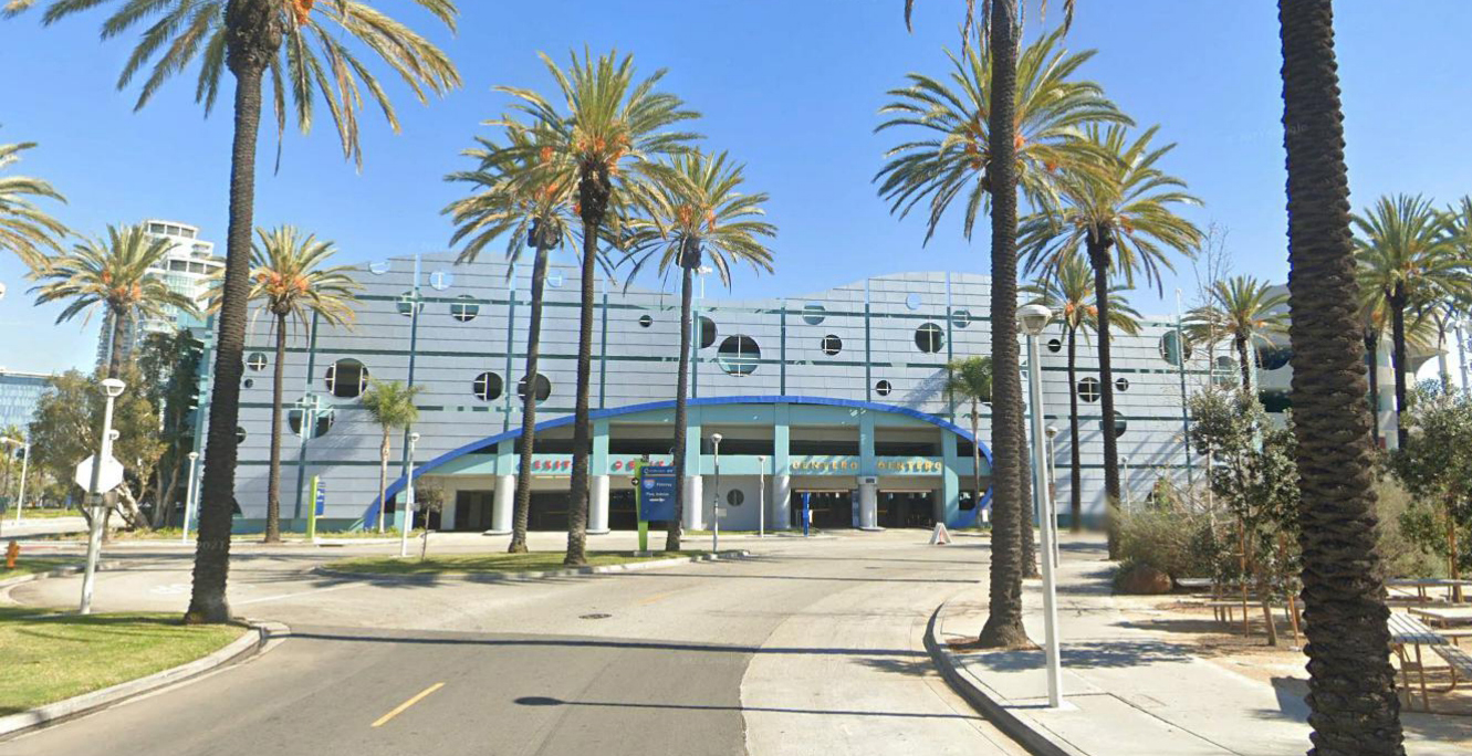
A multistorey car park (British and Singapore English) or parking garage (American English), also called a multistory, parking building, parking structure, parkade (mainly Canadian), parking ramp, parking deck or indoor parking, is a building designed for car, motorcycle & bicycle parking and where there are a number of floors or levels on which parking takes place. It is essentially an indoor, stacked car park. The first known multistory facility was built in London in 1901, and the first underground parking was built in Barcelona in 1904. (See History, below.) The term multistory is almost never used in the US, since parking structures are almost all multiple levels. Parking structures may be heated if they are enclosed. Design of parking structures can add considerable cost for planning new developments, and can be mandated by cities in new building parking requirements. Some cities such as London have abolished previously enacted minimum parking requirements. Minimum p ... [...More Info...] [...Related Items...] OR: [Wikipedia] [Google] [Baidu] |
NZ Transport Agency
Waka Kotahi NZ Transport Agency (commonly known as Waka Kotahi, and abbreviated as NZTA) is a New Zealand Crown entity tasked with promoting safe and functional transport by land, including the responsibility for driver and vehicle licensing, and administering the New Zealand state highway network. It was created on 1 August 2008 by the Land Transport Management Amendment Act 2008, merging Transit New Zealand with Land Transport New Zealand. Its legal name, as established by the Act, is New Zealand Transport Agency, but it trades as ''Waka Kotahi'' ''NZ Transport Agency''., superseded by The Māori part of the name, ''Waka Kotahi'', means "one vessel" and is intended to convey the concept of "travelling together as one". Public data access The Transport Agency stores registration, licensing and warrant of fitness details for any road-registered vehicle within New Zealand, including cars, motorbikes, trailers, trucks and earthmoving or agricultural machinery. Any member of the p ... [...More Info...] [...Related Items...] OR: [Wikipedia] [Google] [Baidu] |
New Zealand State Highway Network
The New Zealand state highway network is the major national highway network in New Zealand. Nearly 100 roads in the North and South Islands are state highways. All state highways are administered by the NZ Transport Agency. The highways were originally designated using a two-tier system, national (SH 1 to 8) and provincial, with national highways having a higher standard and funding priorities. Now all are state highways, and the network consists of SH 1 running the length of both islands, SH 2 to 5 and 10 to 59 in the North Island, and SH 6 to 8 and 60 to 99 in the South Island, numbered approximately north to south. State highways are marked by red shield-shaped signs with white numbering (shields for the former provincial highways were blue). Road maps usually number state highways in this fashion. Of the total state highway network, New Zealand currently has of motorways and expressways with grade-separated access and they carry ten percent of all New Zealand traffic. The ... [...More Info...] [...Related Items...] OR: [Wikipedia] [Google] [Baidu] |
Northern Busway, Auckland
The Northern Busway is a segregated busway that runs along the eastern side of the Northern Motorway, part of State Highway 1, in the north of Auckland, New Zealand, linking the North Shore with the northern end of the Auckland Harbour Bridge. As of May 2022, the busway consists of two-way lanes running between Albany Station and Akoranga Station, and from Akoranga Station a southbound-only lane that joins the harbour bridge approaches just south of the Onewa Road on-ramp system. Between 2008 and 2022 the busway terminated at Constellation. Six stations provide access points for passengers to board; some stations have park and ride parking spaces; others have drop off and pick up zones only. City-bound Northern Express (NX1 and NX2) services commence from Hibiscus Coast Station or Albany Station; from Albany, the lanes reduced travel time to Britomart Transport Centre from around one hour by car during peak hours to about half an hour by bus. In the reverse direction, NX1 a ... [...More Info...] [...Related Items...] OR: [Wikipedia] [Google] [Baidu] |


