|
Auchenrivock Tower
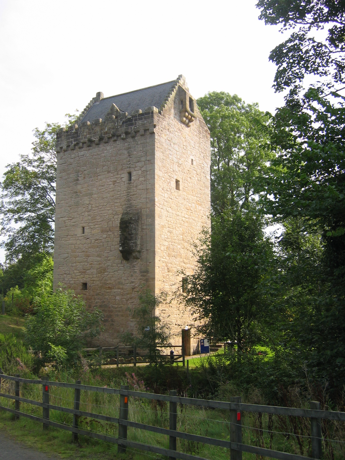
Auchenrivock Tower is a ruined late 16th century tower house situated near Langholm, Dumfries and Galloway. The remains of the tower, which rise 8 feet at their highest, are currently built into a garden wall. An earlier stronghold of the Irvings of Eskdale, called Stakehugh, lay near the current site. The place name Auchenrivock is derived from the Scottish Gaelic, ''Achadh Riabhach'', meaning "brindled Brindle is a coat coloring pattern in animals, particularly dogs, cattle, guinea pigs, cats, and, rarely, horses. It is sometimes described as "tiger-striped", although the brindle pattern is more subtle than that of a tiger's coat. Brindle ty ... field". References * Coventry, Martin (2001) ''The Castles of Scotland'', 3rd Ed. Scotland: Goblinshead *Maxwell-Irving, A. M. T. (2000) ''The Border Towers of Scotland'', Creedon Publications External links Picture of the tower at scran.ac.uk Castles in Dumfries and Galloway {{Scotland-struct-stub ... [...More Info...] [...Related Items...] OR: [Wikipedia] [Google] [Baidu] |
Langholm
Langholm , also known colloquially as the "Muckle Toon", is a burgh in Dumfries and Galloway, southern Scotland. Langholm lies between four hills in the valley of the River Esk in the Southern Uplands. Location and geography Langholm sits north of the Anglo-Scottish border on the A7 road running between Edinburgh and Carlisle. Edinburgh is to the north, Newcastleton is around to the east and Carlisle to the south. Langholm is surrounded by four hills in the River Esk valley within Scotland's wider Southern Uplands. The highest of the four hills is 300 m high Whita hill on which stands an obelisk (locally known as 'The Monument'). The Monument commemorates the life and achievements of Sir John Malcolm (1769‑1833), former soldier, statesman, and historian. The other three hills are Warblaw (in Langholm it is pronounced Warbla), Meikleholmhill (a knowe of which is known as 'Timpen') and the Castle Hill. The two longest B roads in the UK both start (or finish) in Lang ... [...More Info...] [...Related Items...] OR: [Wikipedia] [Google] [Baidu] |
Dumfries And Galloway
Dumfries and Galloway ( sco, Dumfries an Gallowa; gd, Dùn Phrìs is Gall-Ghaidhealaibh) is one of 32 unitary council areas of Scotland and is located in the western Southern Uplands. It covers the counties of Scotland, historic counties of Dumfriesshire, Kirkcudbrightshire, and Wigtownshire, the latter two of which are collectively known as Galloway. The administrative centre and largest settlement is the town of Dumfries. The second largest town is Stranraer, on the North Channel (Great Britain and Ireland), North Channel coast, some to the west of Dumfries. Following the 1975 reorganisation of local government in Scotland, the three counties were joined to form a single regions and districts of Scotland, region of Dumfries and Galloway, with four districts within it. The districts were abolished in 1996, since when Dumfries and Galloway has been a unitary local authority. For lieutenancy areas of Scotland, lieutenancy purposes, the area is divided into three lieutenancy a ... [...More Info...] [...Related Items...] OR: [Wikipedia] [Google] [Baidu] |
Scotland
Scotland (, ) is a country that is part of the United Kingdom. Covering the northern third of the island of Great Britain, mainland Scotland has a border with England to the southeast and is otherwise surrounded by the Atlantic Ocean to the north and west, the North Sea to the northeast and east, and the Irish Sea to the south. It also contains more than 790 islands, principally in the archipelagos of the Hebrides and the Northern Isles. Most of the population, including the capital Edinburgh, is concentrated in the Central Belt—the plain between the Scottish Highlands and the Southern Uplands—in the Scottish Lowlands. Scotland is divided into 32 administrative subdivisions or local authorities, known as council areas. Glasgow City is the largest council area in terms of population, with Highland being the largest in terms of area. Limited self-governing power, covering matters such as education, social services and roads and transportation, is devolved from the Scott ... [...More Info...] [...Related Items...] OR: [Wikipedia] [Google] [Baidu] |
Tower House
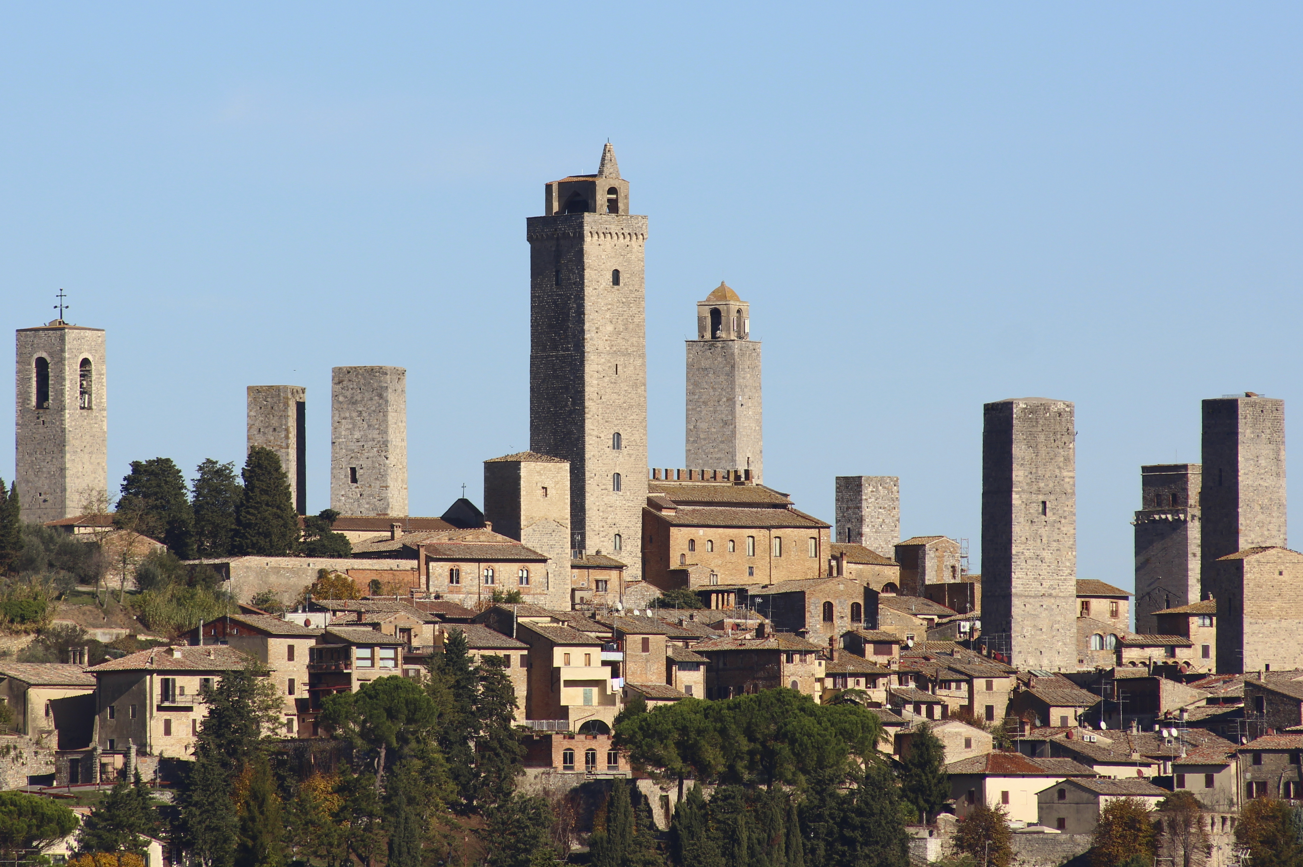
A tower house is a particular type of stone structure, built for defensive purposes as well as habitation. Tower houses began to appear in the Middle Ages, especially in mountainous or limited access areas, in order to command and defend strategic points with reduced forces. At the same time, they were also used as an aristocrat's residence, around which a castle town was often constructed. Europe After their initial appearance in Ireland, Scotland, the Stins, Frisian lands, Basque Country (greater region), Basque Country and England during the High Middle Ages, tower houses were also built in other parts of western Europe, especially in parts of France and Italy. In Italian medieval communes, urban ''palazzi'' with a very tall tower were increasingly built by the local highly competitive Patrician (post-Roman Europe), patrician families as power centres during times of internal strife. Most north Italian cities had a number of these by the end of the Middles Ages, but few no ... [...More Info...] [...Related Items...] OR: [Wikipedia] [Google] [Baidu] |
Eskdale, Dumfries And Galloway
Eskdale ( gd, Eisgeadal, IPA: �eʃkʲət̪əɫ̪ is a glen and former lordship in the county of Dumfriesshire, Scotland. The River Esk flows through Eskdale to its estuary at the Solway Firth The Solway Firth ( gd, Tràchd Romhra) is a firth that forms part of the border between England and Scotland, between Cumbria (including the Solway Plain) and Dumfries and Galloway. It stretches from St Bees Head, just south of Whitehaven .... In 1620, when 13 continuous days of snow occurred in Scotland, on Eskdale Moor only 35 of a flock of 20,000 sheep survived. Sources Glens of Scotland Landforms of Dumfries and Galloway Annandale and Eskdale {{DumfriesGalloway-geo-stub ... [...More Info...] [...Related Items...] OR: [Wikipedia] [Google] [Baidu] |
Scottish Gaelic
Scottish Gaelic ( gd, Gàidhlig ), also known as Scots Gaelic and Gaelic, is a Goidelic language (in the Celtic branch of the Indo-European language family) native to the Gaels of Scotland. As a Goidelic language, Scottish Gaelic, as well as both Irish and Manx, developed out of Old Irish. It became a distinct spoken language sometime in the 13th century in the Middle Irish period, although a common literary language was shared by the Gaels of both Ireland and Scotland until well into the 17th century. Most of modern Scotland was once Gaelic-speaking, as evidenced especially by Gaelic-language place names. In the 2011 census of Scotland, 57,375 people (1.1% of the Scottish population aged over 3 years old) reported being able to speak Gaelic, 1,275 fewer than in 2001. The highest percentages of Gaelic speakers were in the Outer Hebrides. Nevertheless, there is a language revival, and the number of speakers of the language under age 20 did not decrease between the 2001 and ... [...More Info...] [...Related Items...] OR: [Wikipedia] [Google] [Baidu] |
.jpg)


