|
Abdullah Khan (Moghul Khan)
Khanship Abdullah Khan (in Turfan 1634/5-1638/9) 1638–1669, was the eldest of 9 sons of Abduraim Khan, grandson of Abdurashid Khan. According to the local source " Tarih-i Kashgar ", written by anonymous author of the first half of XVIII century on Uyghur language in Yarkand, he was born from Qalmak wife of Abduraim Khan Begim Pasha, daughter of Dzungar chieftain Duranga, and when he was 8 years old he was taken to Kucha and was raised here by a ruler of Kucha Mirza Abul-Hadi Beg. Mirza Abul-Hadi Beg married him on his eldest daughter, Yulbars Khan ( Moghul Khan ) and Arslan Khan were their sons. In 1634 Abdullah Khan became a ruler of ''Uyghurstan'' ( Chalish-Turpan- Kumul) after the death of Abduraim Khan and thus took position of a ''Little Khan '' of Yarkand Khanate, previously held by Abduraim Khan (1591-1594,1605-1634). Soon, he repelled attack of Sultan Ahmad Khan( Pulat Khan ) (1630-1633, 1636-1638) on Kucha and in revenge managed to take Aksu from Mahmud Sultan (Qilich ... [...More Info...] [...Related Items...] OR: [Wikipedia] [Google] [Baidu] |
Abdurashid Khan
Abdurashid Khan ( ug, عبد الرشيد خان) (1508-1560) was the ruler of the Yarkent Khanate in modern-day Yarkant County, Xinjiang between 1533 and 1560. Biography Abdurashid Khan was a descendant of the first Moghul Khan Tughluk Timur Khan (1347-1363) and was born in 1508. He came to power in 1533 when his father and predecessor Sultan Said Khan died of altitude sickness during a military expedition in the region of Kashmir. One of Abdul Rasid Khan's wives was Amannisa Khan. She is credited with collecting and thereby preserving the Twelve Muqam, which is today considered one traditional musical style of the Uyghur people of East Turkistan, Today’s Xinjiang Uyghur Autonomous Region. The Muqam of Xinjiang has been designated by UNESCO as part of the Intangible Heritage of Humanity. In 1538, Abdurashid Khan concluded a treaty with Uzbek Chief Ubaydullah Sultan, who ruled the Khanate of Bukhara at the time (1533–1539). He also completed a similar treaty with the Mo ... [...More Info...] [...Related Items...] OR: [Wikipedia] [Google] [Baidu] |
Ruoqiang Town
Ruoqiang Town (; Uyghur: Чакилик: Qakilik or Charkliq) is a town in Ruoqiang County, Bayin'gholin Mongol Autonomous Prefecture in southeastern Xinjiang, People's Republic of China. Ruoqiang Town is the county seat of the Ruoqiang County, and therefore is the place that less detailed maps label as "Ruoqiang County" or just "Ruoqiang". The postal code is 841 800. There is a two-laned asphalt highway to Korla, north, and west to Hotan. There is no motorable road east to Dunhuang in Gansu, but one can now drive southeast through the Altun Shan range and then north through part of the Tsaidam to Dunhuang. Names Lionel Giles has recorded the following names for Ruoqiang Town (with his Wade-Giles forms of the Chinese names converted to pinyin): :"''Yixun'', or Yixiu, capital of Shanshan after 77 B.C. (Note: This is an incorrect identification, the capital's name was, in fact, Yüni 扜泥.) :Shanshan Zhen ui :Nafubo (纳缚波) uanzang :Dianhe ang :Shicheng Zhen ang afte ... [...More Info...] [...Related Items...] OR: [Wikipedia] [Google] [Baidu] |
Baicheng County
Baicheng County () as the official romanized name, also transliterated from Uyghur as Bay County (pronounced like 'bye', , ;, United States National Geospatial-Intelligence Agency ), is a county in Aksu Prefecture of the Xinjiang Uyghur Autonomous Region, People's Republic of China. History In 1882, the county was established. On 6 November 1997, a member of a Xinjiang separatist group, Muhammat Tursun, fatally shot imam Yunus Sidiq Damolla at his mosque in Baicheng County. According to a report from ''Radio Free Asia'', on February 17, 2015, seventeen Uyghurs (four policemen, nine attackers and four bystanders) were killed after a stabbing incident from a police station in the county. On September 18, 2015, a group of terrorists, suspected to be Uyghurs, attacked workers and security guards at the Sogan Colliery in Terek, leaving at least 50 dead and 50 wounded. On November 13, twenty-eight persons were killed and one captured in connection with a manhunt for suspects inv ... [...More Info...] [...Related Items...] OR: [Wikipedia] [Google] [Baidu] |
Uqturpan County
Uqturpan County, United States National Geospatial-Intelligence Agency or Uchturpan County ( transliterated from ; ), also Wushi County (), is a county in the Xinjiang Uyghur Autonomous Region under the administration of Aksu Prefecture and shares an approximately long border with Kyrgyzstan's Issyk-Kul Region. The county is bordered to the northeast by Onsu County (Wensu), to the southeast by Aksu city, to the west by Akqi County in Kizilsu Kyrgyz Autonomous Prefecture and to the south by Kalpin County (Keping). It has an area of and a population of 180,000. Name Uqturpan is also spelled Uchturpan and Uch-Turfan. History Tang During the Battle of Aksu (717), the Umayyad Caliphate and their Turgesh and Tibetan Empire allies hope to seize Uqturpan (then known as Dai-dʑiᴇk-dʑiᴇŋ) from Tang-Karluks- Exiled Western Turkic Khaganate allies but were repelled. Qing Ush Turfan was the site of a battle between Barhanuddin and Abdulla during the Revolt of the Altishahr Kh ... [...More Info...] [...Related Items...] OR: [Wikipedia] [Google] [Baidu] |
Yarkent Khanate
The Yarkent Khanate, also known as the Yarkand Khanate and the Kashghar Khanate, was a Sunni Muslim Turkic state ruled by the Mongol descendants of Chagatai Khan. It was founded by Sultan Said Khan in 1514 as a western offshoot of Moghulistan, itself an eastern offshoot of the Chagatai Khanate. It was eventually conquered by the Dzungar Khanate in 1705. Capital Yarkent served as the capital of the Yarkent Khanate, which was also known as the Yarkent State (''Mamlakati Yarkand''), from the establishment of the Khanate (1514 AD) to its fall (1705 AD). The previous Dughlat state of Mirza Abu Bakr Dughlat (1465–1514) of Kashgaria also used Yarkent as the capital of state. History Background The Khanate was predominantly Uyghur/Turki; some of its most populated cities were Hotan, Yarkent, Kashgar, Yangihissar, Aksu, Uchturpan, Kucha, Karashar, Turpan and Kumul. It enjoyed continued dominance in the region for about 200 years until it was conquered by the Dzungar Khan, Tse ... [...More Info...] [...Related Items...] OR: [Wikipedia] [Google] [Baidu] |
Tengri Tagh
The Tian Shan,, , otk, 𐰴𐰣 𐱅𐰭𐰼𐰃, , tr, Tanrı Dağı, mn, Тэнгэр уул, , ug, تەڭرىتاغ, , , kk, Тәңіртауы / Алатау, , , ky, Теңир-Тоо / Ала-Тоо, , , uz, Tyan-Shan / Tangritog‘, , also known as the Tengri Tagh or Tengir-Too, meaning the ''Mountains of Heaven'' or the ''Heavenly Mountain'', is a large system of mountain ranges located in Central Asia. The highest peak in the Tian Shan is Jengish Chokusu, at high. Its lowest point is the Turpan Depression, which is below sea level. One of the earliest historical references to these mountains may be related to the Xiongnu word ''Qilian'' ( zh, s=祁连, t=祁連, first=t, p=Qílián) – according to Tang commentator Yan Shigu, ''Qilian'' is the Xiongnu word for sky or heaven. Sima Qian in the ''Records of the Grand Historian'' mentioned ''Qilian'' in relation to the homeland of the Yuezhi and the term is believed to refer to the Tian Shan rather than the Q ... [...More Info...] [...Related Items...] OR: [Wikipedia] [Google] [Baidu] |
Moghulistan
Moghulistan (from fa, , ''Moghulestân'', mn, Моголистан), also called the Moghul Khanate or the Eastern Chagatai Khanate (), was a Mongol breakaway khanate of the Chagatai Khanate and a historical geographic area north of the Tengri Tagh mountain range, on the border of Central Asia and East Asia. That area today includes parts of Kazakhstan, Kyrgyzstan, and northwest Xinjiang, China. The khanate nominally ruled over the area from the mid-14th century until the late 17th century. Beginning in the mid-14th century a new khanate, in the form of a nomadic tribal confederacy headed by a member of the family of Chagatai, arose in the region of the Ili River. It is therefore considered to be a continuation of the Chagatai Khanate, but it is also referred to as the Moghul Khanate. In actuality, local control rested with local Mongol Dughlats or Sufi Naqshbandi in their respective oases. Although the rulers enjoyed great wealth from the China trade, it was beset by const ... [...More Info...] [...Related Items...] OR: [Wikipedia] [Google] [Baidu] |
5th Dalai Lama
Ngawang Lobsang Gyatso (; ; 1617–1682) was the 5th Dalai Lama and the first Dalai Lama to wield effective temporal and spiritual power over all Tibet. He is often referred to simply as the Great Fifth, being a key religious and temporal leader of Tibetan Buddhism and Tibet. Gyatso is credited with unifying all Tibet under the Ganden Phodrang after a Mongol military intervention which ended a protracted era of civil wars. As an independent head of state, he established relations with the Qing empire and other regional countries and also met early European explorers. Gyatso also wrote 24 volumes' worth of scholarly and religious works on a wide range of subjects. Early life To understand the context within which the Dalai Lama institution came to hold temporal power in Tibet during the lifetime of the 5th, it may be helpful to review not just the early life of Lobsang Gyatso but also the world into which he was born, as Künga Migyur. Künga Migyur's family The child who would ... [...More Info...] [...Related Items...] OR: [Wikipedia] [Google] [Baidu] |
Dzungar Khanate
The Dzungar Khanate, also written as the Zunghar Khanate, was an Inner Asian khanate of Oirat Mongol origin. At its greatest extent, it covered an area from southern Siberia in the north to present-day Kyrgyzstan in the south, and from the Great Wall of China in the east to present-day Kazakhstan in the west. The core of the Dzungar Khanate is today part of northern Xinjiang, also called Dzungaria. About 1620 the western Mongols, known as the Oirats, united in Dzungaria. In 1678, Galdan received from the Dalai Lama the title of ''Boshogtu Khan'', making the Dzungars the leading tribe within the Oirats. The Dzungar rulers used the title of Khong Tayiji, which translates into English as "crown prince". Between 1680 and 1688, the Dzungars conquered the Tarim Basin, which is now southern Xinjiang, and defeated the Khalkha Mongols to the east. In 1696, Galdan was defeated by the Qing dynasty and lost Outer Mongolia. In 1717 the Dzungars conquered Tibet, but were driven ou ... [...More Info...] [...Related Items...] OR: [Wikipedia] [Google] [Baidu] |
Erdeni Batur
Erdeni Batur (in modern Mongolian: Эрдэнэбаатар, Erdenebaatar; ; d. 1653) was a Choros-Oirat prince generally considered to be the founder of the Dzungar Khanate, centered in the Dzungaria region, currently in north-westernmost part of China. Early life Erdenebaatar was the son of Khara Khula who was ''taishi'' (in modern Mongolian:тайж, taij, meaning "nobleman") of the dominant Choros tribe and the leader of the allied Four Oirat, collectively known as "Dzungars." After the death of his father in 1634, Erdeni Batur assumed his father's position and carried on his father's objective of unifying the Oirat tribes into a formal confederation with himself as the supreme military and political ruler. Upon becoming ruler of the Dzungars, Erdeni Batur sought to consolidate his position around the Tarbagatai Mountains, the land his people roamed. In so doing, Erdeni Batur led the Dzungars to several victorious military campaigns over the Kazakhs to his west. To the north ... [...More Info...] [...Related Items...] OR: [Wikipedia] [Google] [Baidu] |
Ili River Valley
The Ili ( ug, ئىلى دەرياسى, Ili deryasi, Ili dəryasi, 6=Или Дәряси; kk, Ile, ; russian: Или; zh, c=伊犁河, p=Yīlí Hé, dng, Йили хә, Xiao'erjing: اِلِ حْ; mn, Ил, literally "Bareness") is a river situated in Northwest China and Southeastern Kazakhstan. It flows from the Ili Kazakh Autonomous Prefecture of the Xinjiang Uighur Autonomous Region to the Almaty Region in Kazakhstan. It is long (including its source river Tekes),Или of which is in Kazakhstan. The river originates from the Tekes and rivers ... [...More Info...] [...Related Items...] OR: [Wikipedia] [Google] [Baidu] |
Khoja (Turkestan)
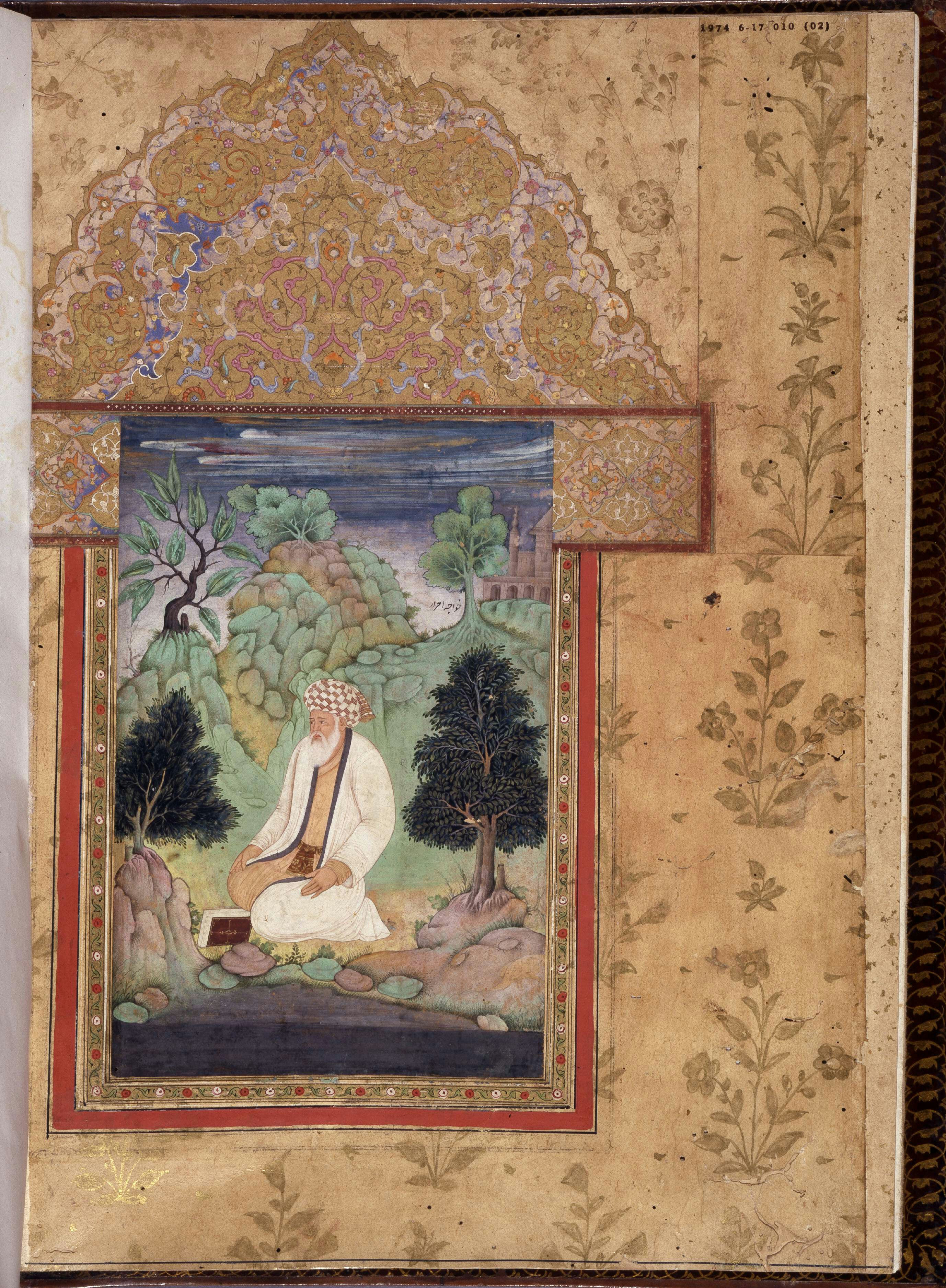
Khoja or Khwaja ( kk, Қожа; ug, خوجا; fa, خواجه; tg, хӯҷа; uz, xo'ja; ), a Persian word literally meaning 'master' or ‘lord’, was used in Central Asia as a title of the descendants of the noted Central Asian Naqshbandi Sufi teacher, Ahmad Kasani (1461–1542) or others in the Naqshbandi intellectual lineage prior to Baha al-din Naqshband. The most powerful religious figure in the late Timurid era was the Naqshbandi Shaykh Khwaja Ahrar.The letters of Khwāja ʻUbayd Allāh Aḥrār and his associates. Translated by Jo-Ann Gross. Leiden: BRILL, 2002. The Khojas often were appointed as administrators by Mongol rulers in the Altishahr or present-day region of Tarim Basin in Xinjiang, China. The Khojas of Altishahr claimed to be Sayyids (descendants of Muhammad) and they are still regarded as such by the fraternity people of Altishahr. Although Ahmad Kasani himself, known as ''Makhdūm-i-Azam'' or "Great Master" to his followers, never visited Altishahr (today ... [...More Info...] [...Related Items...] OR: [Wikipedia] [Google] [Baidu] |


