|
1981–82 Yugoslav Second League
The 1981–82 Yugoslav Second League season was the 36th season of the Second Federal League (), the second level association football competition of SFR Yugoslavia, since its establishment in 1946. The league was contested in two regional groups (West Division and East Division), with 16 clubs each. West Division Teams A total of sixteen teams contested the league, including twelve sides from the 1980–81 season, one club relegated from the 1980–81 Yugoslav First League and three sides promoted from the Inter-Republic Leagues played in the 1980–81 season. The league was contested in a double round robin format, with each club playing every other club twice, for a total of 30 rounds. Two points were awarded for wins and one point for draws. Borac Banja Luka were relegated from the 1980–81 Yugoslav First League after finishing in the 17th place of the league table. The three clubs promoted to the second level were Kikinda, Kozara and Solin. At the winter break, Svoboda ste ... [...More Info...] [...Related Items...] OR: [Wikipedia] [Google] [Baidu] |
Yugoslav Second League
Yugoslav Second League ( Bosnian: ''Druga savezna liga,'' Croatian: ''Druga savezna liga'', Serbian: ''Друга савезна лига'', Slovenian: ''Druga zvezna liga'', Macedonian: ''Втора сојузна лига'', ''Vtora sojuzna liga'') was the second tier football league of SFR Yugoslavia. The top clubs were promoted to the top tier, the Yugoslav First League. Although the Yugoslav First League had existed since 1923, the unified Second League was only introduced in 1947. It existed until 1992. League format Over the years, the league changed its format many times: *In 1946–47 each of the six Yugoslav federal republics had its own league (SR Bosnia and Herzegovina, SR Croatia, SR Macedonia, SR Montenegro, SR Serbia and SR Slovenia) *In 1947–48 the leagues were merged into a single national "Unified League" (''Jedinstvena liga'') *In 1952 each of the republics played its own second-level "Republic League" again (''Republička liga'') *In 1952–53 a num ... [...More Info...] [...Related Items...] OR: [Wikipedia] [Google] [Baidu] |
Bačka Topola
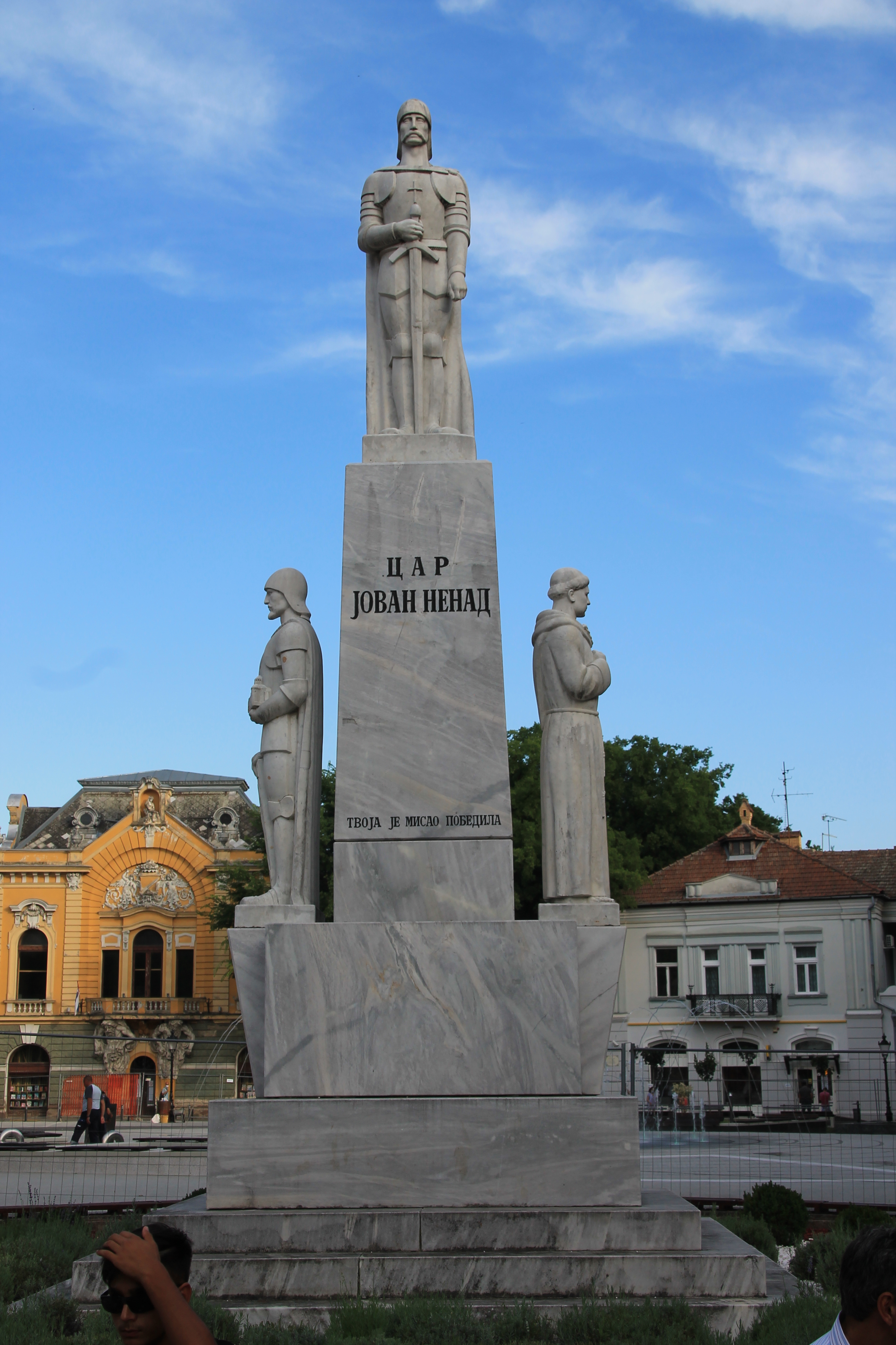
Bačka Topola ( sr-Cyrl, Бачка Топола, ; , ) is a town and municipality located in the North Bačka District of the autonomous province of Vojvodina, Serbia. The municipality is composed of 23 local communities and, according to the 2022 census, has population of 26,228 while the town itself has 11,930 inhabitants. Four official languages are used in the municipality: Serbian, Hungarian, Rusyn, and Slovak. Name The name of the town is derived from the Serbian word ''topola'' (топола) ("poplar" in English). The first part of the name of the town was given to designate its location in the region of Bačka in contrast to places with similar names, like Topola in Šumadija or Banatska Topola in Banat. History The town was mentioned first in 1462 under name ''Fibaych''. This settlement was a part of the Kingdom of Hungary, and was inhabited by Hungarians in the middle ages. The village was destroyed in the 16th century and new smaller settlement was later buil ... [...More Info...] [...Related Items...] OR: [Wikipedia] [Google] [Baidu] |
Vinkovci
Vinkovci () is a city in Slavonia, in the Vukovar-Syrmia County in eastern Croatia. The city settlement's population was 28,111 in the 2021 census, while the total population was 30,842, making it the largest town of the county. It is a local transport hub, particularly because of its railways. Name The name comes from the Croatian name, Croatian given name Vinko, cognate to the name Vincent. It has been in use following a dedication of the oldest town church of Saint Elijah () to Saint Vincent the Deacon () in the Middle Ages. The name of the city in Croatian language, Croatian is plural. It was called in antiquity. There is no known Latin or Greek etymology for , so it is assumed to be inherited from an earlier time. ''Cibale'' is a toponym derived from geomorphology, from Indo-European meaning "ascension" or "head". It is assumed that the root is in Proto-Indo-European (head), in the sense of a hill, meaning a place that was protected from the flooding of Bosut (river), B ... [...More Info...] [...Related Items...] OR: [Wikipedia] [Google] [Baidu] |
Velenje
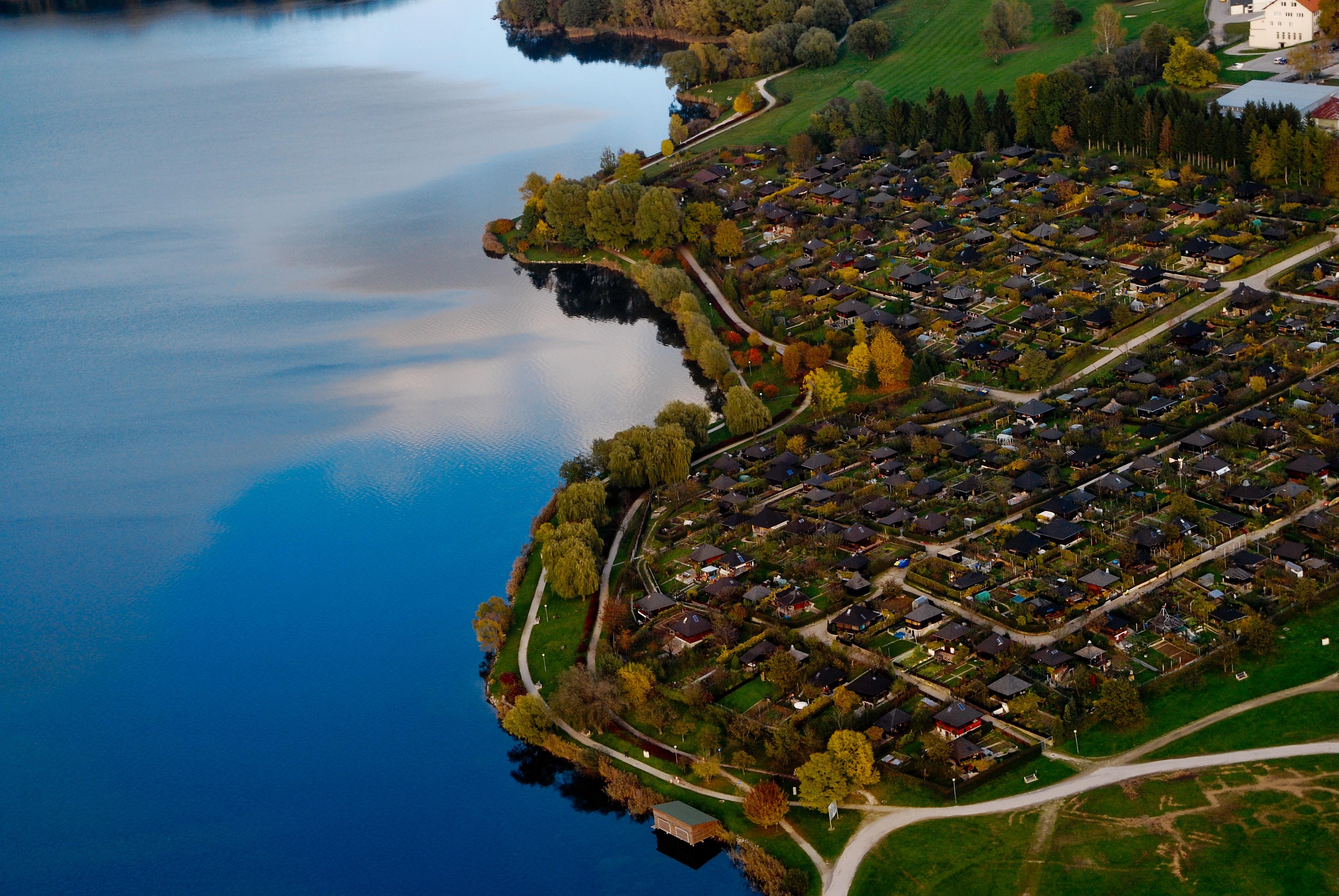
Velenje (; ''Leksikon občin kraljestev in dežel zastopanih v državnem zboru,'' vol. 4: ''Štajersko''. 1904. Vienna: C. Kr. Dvorna in Državna Tiskarna, p. 272.) is the List of cities and towns in Slovenia, sixth-largest city of Slovenia, and the seat of local government, seat of the City Municipality of Velenje, Municipality of Velenje. The city is located in the traditional Slovenian region of Styria (Slovenia), Styria (northeastern Slovenia), among the rolling green hills of the Šalek Valley, with the Kamnik–Savinja Alps to the west and the Pohorje, Pohorje Mountains to the east. Name Velenje was first attested in written sources in 1264 as ''Weln'' (and as ''Welan'' in 1270, and ''Belen'' and ''Welen'' in 1296). The name derives from *''Velen′e selo'' 'Velenъ's village'. A less likely hypothesis derives the name from the Slovene common noun ''velen(je)'' 'pasture for livestock'. The name of the town was changed to ''Titovo Velenje'' (literally, 'Tito's Velenje') in 19 ... [...More Info...] [...Related Items...] OR: [Wikipedia] [Google] [Baidu] |
Trebinje
Trebinje ( sr-Cyrl, Требиње, ) is a city and municipality in Republika Srpska, Bosnia and Herzegovina. It is the southernmost city in Bosnia and Herzegovina and is situated on the banks of the Trebišnjica river in the region of East Herzegovina. As of 2013, it has a population of 31,433 inhabitants. The city's old town quarter dates to the 18th-century Ottoman period and includes the Arslanagić Bridge, also known as Perovića Bridge. Geography Physical geography The city lies in the Trebišnjica river valley, at the foot of Leotar, in southeastern Herzegovina, some by road from Dubrovnik, Croatia, on the Adriatic coast. There are several watermill, mills along the river, as well as several bridges, including three in the city of Trebinje itself, as well as a historic Ottoman Empire, Ottoman Arslanagić Bridge nearby. The river is heavily exploited for hydro-electric energy. After it passes through the Popovo polje, Popovo Polje area southwest of the city, the river ... [...More Info...] [...Related Items...] OR: [Wikipedia] [Google] [Baidu] |
Subotica
Subotica (, ; , , ) is a List of cities in Serbia, city in Central Europe and the administrative center of the North Bačka District in the autonomous province of Vojvodina, Serbia. Formerly the largest city of Vojvodina region, contemporary Subotica is now the second largest city in the province, following the city of Novi Sad. According to the 2022 census, the urban area of the city (including adjacent settlement of Palić) has a population of 94,228, and the population of metro area (the administrative area of the city) stands at 123,952 people. Name The name of the city has changed frequently over time.History of Subotica Retrieved 8 September 2022. The earliest known written name of the city was ''Zabotka'' or ''Zabatka'', which dates from 1391. It is the origin of the current Hungarian n ... [...More Info...] [...Related Items...] OR: [Wikipedia] [Google] [Baidu] |
Solin, Croatia
Solin is a town and a suburb of Split, in Split-Dalmatia county, Croatia. It is situated right northeast of Split, on the Adriatic Sea and the river Jadro. Solin developed on the location of ancient city of ''Salona'', which was the capital of the Roman province of Dalmatia and the birthplace of Emperor Diocletian. After the arrival of Avars and Croats in the 7th-century, the town was destroyed, and its refugees moved to the settlement in and around Diocletian's palace, "Spalatum" (Split), turning it into a fortified town. In the Early Middle Ages, Solin was part of Croatian territory and played an important role in the Medieval Croatian state, being one of the political centres. In the 20th century, the intensive industrialisation process of the Split basin made Solin no more than a suburb of Split. Today, with its independent municipal status, Solin is part of the Split conurbation, well connected with other towns. Lately, besides industry, tourism is being developed based ... [...More Info...] [...Related Items...] OR: [Wikipedia] [Google] [Baidu] |
Ljubljana
{{Infobox settlement , name = Ljubljana , official_name = , settlement_type = Capital city , image_skyline = {{multiple image , border = infobox , perrow = 1/2/2/1 , total_width = 260 , align = center , caption_align = center , image1 = Ljubljana made by Janez Kotar.jpg , caption1 = Ljubljana old town , image2 = Ljubljana Robba fountain (23665322093).jpg , caption2 = Town Hall , image3 = LOpéra-Ballet (Ljubljana) (9408363203).jpg , caption3 = Opera House , image4 = Dragon on the Dragon Bridge in Ljubljana-3906673.jpg , caption4 = Dragon Bridge , image5 = Ljubljana (36048969485).jpg , caption5 = University of Ljubljana , image6 = Le Château de Ljubljana et la place du ... [...More Info...] [...Related Items...] OR: [Wikipedia] [Google] [Baidu] |
Kikinda
Kikinda ( sr-Cyrl, Кикинда, ; ) is a List of cities in Serbia, city and the administrative center of the North Banat District in Serbia. The city's urban area has 32,084 inhabitants, while the city administrative area has 49,326 inhabitants. The city was founded in the 18th century. From 1774 to 1874 Kikinda was the seat of the District of Velika Kikinda, an autonomous administrative unit of Habsburg monarchy. In 1893, Kikinda was granted the status of a city. The city became part of the Kingdom of Serbia (and Kingdom of Serbs, Croats and Slovenes) in 1918, and it lost the city status. The status was re-granted in 2016. In 1996, the well-preserved archaeological remnants of a half a million-year-old mammoth were excavated on the outer edge of the town area. The mammoth called "Kika" has become one of the symbols of the town. Today it is exhibited in the National Museum of Kikinda. Other attractions of the city are the Suvača – a unique Horse mill, horse-powered dry m ... [...More Info...] [...Related Items...] OR: [Wikipedia] [Google] [Baidu] |
Dubrovnik
Dubrovnik, historically known as Ragusa, is a city in southern Dalmatia, Croatia, by the Adriatic Sea. It is one of the most prominent tourist destinations in the Mediterranean Sea, Mediterranean, a Port, seaport and the centre of the Dubrovnik-Neretva County. In 2021, its total population was 41,562. Recognizing its outstanding medieval architecture and fortifications, UNESCO inscribed the Old City of Dubrovnik as a World Heritage Site in 1979. The history of the city probably dates back to the 7th century, when the town known as was founded by refugees from Epidaurum (). It was under protectorate of the Byzantine Empire and later under the sovereignty of the Republic of Venice. Between the 14th and 19th centuries, Dubrovnik ruled itself as a Free state (polity), free state. The prosperity of the city was historically based on trade, maritime trade; as the capital of the maritime Republic of Ragusa, it achieved a high level of development, particularly during the 15th and 16t ... [...More Info...] [...Related Items...] OR: [Wikipedia] [Google] [Baidu] |
Bugojno
Bugojno ( sr-cyrl, Бугојно) is a town and municipality in the Central Bosnia Canton of the Federation of Bosnia and Herzegovina, an entity of Bosnia and Herzegovina. It is situated on the river Vrbas, to the northwest of Sarajevo. According to the 2013 census, the town has a population of 15,555 inhabitants, with 31,470 inhabitants in the municipality. To the west towards Kupres is a region called Koprivnica. This enormous forest was once one of President Tito's favorite hunting spots. The uninhabited dense forest has created a sanctuary for wild animals. Hunting associations are very active in this region and there are many mountain and hunting lodges dotting the forest. Duboka Valley (lit. "deep valley") is a designated hunting area covered by thick spruce. Kalin Mountain is a popular weekend area for hikers and nature lovers. History When the German and Italian Zones of Influence were revised on 24 June 1942, Bugojno fell in , administered civilly by Croatia and m ... [...More Info...] [...Related Items...] OR: [Wikipedia] [Google] [Baidu] |


