|
Litovel
Litovel (; ) is a town in Olomouc District in the Olomouc Region of the Czech Republic. It has about 9,500 inhabitants. The historic town centre is well preserved and is protected as an Cultural monument (Czech Republic)#Monument zones, urban monument zone. Administrative division Litovel consists of 11 municipal parts (in brackets population according to the 2021 census): *Litovel (6,910) *BЕҷezovГ© (205) *ChudobГӯn (213) *Myslechovice (394) *NasobЕҜrky (438) *NovГЎ Ves (204) *Rozvadovice (243) *SavГӯn (129) *TЕҷi Dvory (254) *UnДҚovice (378) *VГӯska (91) Geography Litovel is located about northwest of Olomouc. It lies in a flat agricultural landscape of the Upper Morava Valley lowland. The highest point is the hill Е umina at above sea level. The Morava (river), Morava River and six its branches flow through the town, which gave it the nickname "Moravian Venice". The northern part of the municipal territory lies in the LitovelskГ© PomoravГӯ Protected Landscape Area, named af ... [...More Info...] [...Related Items...] OR: [Wikipedia] [Google] [Baidu] |
LitovelskГ© PomoravГӯ Protected Landscape Area
LitovelskГ© PomoravГӯ Protected Landscape Area (, usually abbreviated as ''CHKO LitovelskГ© PomoravГӯ'') is a protected landscape area in the floodplain of the Morava River, north of Olomouc in the Czech Republic. It was established on 15 November 1990 on an area of . In the centre of the area lies the town of Litovel, from which the protected area has derived its name. The ecological backbone of the protected landscape area is the naturally meandering Morava, in floodplain forests branching out and forming a complex system of permanent and temporary river arms, a so-called anastomosing river system. The uncontrollability and power of regular floods in the Middle Ages led Hanakian farmers to building a wreath of dikes around the forest where it meets agricultural land. Thanks to these the floodplain forests of LitovelskГ© PomoravГӯ have within living memory offered significant flood protection to surrounding villages and the cities of Olomouc and Litovel, as they form an enormou ... [...More Info...] [...Related Items...] OR: [Wikipedia] [Google] [Baidu] |
Olomouc District
Olomouc District () is a district in the Olomouc Region of the Czech Republic. Its capital is the city of Olomouc. Administrative division Olomouc District is divided into four administrative districts of municipalities with extended competence: Olomouc, Litovel, Е ternberk and UniДҚov. List of municipalities Cities and towns are marked in bold and market towns in ''italics'': Babice - BДӣlkovice-LaЕЎЕҘany - BГӯlГЎ Lhota - BГӯlsko - Blatec - BohuЕҲovice - Bouzov - Bukovany - BystroДҚice - Bystrovany - ДҢervenka - CharvГЎty - Cholina - DaskabГЎt - DlouhГЎ LouДҚka - Dolany - Doloplazy - DomaЕЎov nad BystЕҷicГӯ - DomaЕЎov u Е ternberka - Drahanovice - '' Dub nad Moravou'' - DubДҚany - Grygov - HaЕҲovice - HlГЎsnice - HluboДҚky - HluЕЎovice - HnДӣvotГӯn - Hnojice - Horka nad Moravou - HornГӯ LodДӣnice - HraniДҚnГ© Petrovice - HuzovГЎ - JГӯvovГЎ - KomГЎrov - Kozlov - KoЕҫuЕЎany-TГЎЕҫaly - KrДҚmaЕҲ - KЕҷelov-BЕҷuchotГӯn - LiboЕЎ - Lipina - Lipin ... [...More Info...] [...Related Items...] OR: [Wikipedia] [Google] [Baidu] |
Olomouc Region
Olomouc Region (; , ; ) is an administrative unit () of the Czech Republic, located in the north-western and central part of its historical region of Moravia (''Morava'') and in a small part of the historical region of Czech Silesia (''ДҢeskГ© Slezsko''). It is named for its capital Olomouc. Olomouc region borders with the Moravian-Silesian Region (in the east), ZlГӯn Region (in the south-east), South Moravian Region (in the south-west) and Pardubice Region (in the west). Furthermore, the region shares a 104 km long border with Poland (in the north). Administrative divisions The Olomouc Region is divided into 5 districts: On the territory of the region there are 13 administrative districts of municipalities with extended powers and 20 administrative districts of municipalities with authorized local authority. Population In January 2024 the population of the Olomouc Region totalled 632,864 inhabitants. As of 2019, 50.3% of region's population lived in municipalities with ... [...More Info...] [...Related Items...] OR: [Wikipedia] [Google] [Baidu] |
Upper Morava Valley
The Upper Morava Valley () is a lowland and a geomorphological mesoregion of the Czech Republic. It is located in the Olomouc and ZlГӯn regions. Its name is derived from the Morava river that forms the axis of the territory. Geomorphology The Upper Morava Valley is a mesoregion of the Western Outer Subcarpathia within the Outer Subcarpathia. It is a trench depression, filled with Neogene and Quaternary sediments. The lowland is further subdivided into the microregions of HoleЕЎov Plateau, ProstДӣjov Uplands, Central Moravian Floodplain and UniДҚov Plateau. The area is poor in peaks. It is the largest real plain in the territory of the Czech Republic, in which the inclination of the slopes consistently does not exceed 1В°. The highest peak is Horka (also called Е umvaldskГЎ horka) at above sea level. Geography The territory is elongated from north to south. The maximum length is and the width is almost . The lowland has an area of and an average elevation of . The territory ... [...More Info...] [...Related Items...] OR: [Wikipedia] [Google] [Baidu] |
Olomouc
Olomouc (; ) is a city in the Czech Republic. It has about 103,000 inhabitants, making it the Statutory city (Czech Republic), sixth largest city in the country. It is the administrative centre of the Olomouc Region. Located on the Morava (river), Morava River, the city is the ecclesiastical metropolis and was a historical co-capital city of Moravia, before having been occupied by the Military of the Swedish Empire, Swedish army during the Thirty Years' War. The historic city centre is well preserved and is protected as Cultural monument (Czech Republic)#Monument reservations, urban monument reservation. The Holy Trinity Column in Olomouc, Holy Trinity Column was listed as a UNESCO World Heritage Site in 2000 for its quintessential Baroque architecture, Baroque style and symbolic value. Administrative division Olomouc consists of 26 municipal parts (in brackets population according to the 2021 census): *Olomouc (13,446) *BДӣlidla (834) *ДҢernovГӯr (1,010) *Chomoutov (1,070) *Ch ... [...More Info...] [...Related Items...] OR: [Wikipedia] [Google] [Baidu] |
Morava (river)
The Morava () is a river in Central Europe, a left tributary of the Danube. It is the main river of Moravia historical region in the Czech Republic, which derives its name from the river. The Morava originates on the KrГЎlickГҪ SnДӣЕҫnГӯk mountain in the north-eastern corner of Pardubice Region, near the border between the Czech Republic and Poland and has a vaguely southward trajectory. The lower part of the river's course forms the border between the Czech Republic and Slovakia and then between Austria and Slovakia. Etymology The root of the river's name, ''mor-'', is derived from the Proto-Indo-European word for 'water', 'marsh', from which the Latin word ''mare'' arose. The suffix ''-ava'' is a Slavic form of the Proto-Germanic word ''ahwa'', meaning 'water', 'river'. The name of the river was first documented as ''Maraha'' in an 892 deed. The river gave its name to the entire historical land of Moravia, yet the oldest surviving record of the land (from 822) is older than the ... [...More Info...] [...Related Items...] OR: [Wikipedia] [Google] [Baidu] |
Obec
(, ; plural ) is the Czech and Slovak word for a municipality (in the Czech Republic, in Slovakia and abroad). The literal meaning of the word is " commune" or " community". It is the smallest administrative unit that is governed by elected representatives. Cities and towns are also municipalities. Definition The legal definition (according to the Czech code of law with similar definition in the Slovak code of law) is: ''"The municipality is a basic territorial self-governing community of citizens; it forms a territorial unit, which is defined by the boundary of the municipality."'' Every municipality is composed of one or more cadastral areas. Every municipality is also composed of one or more municipal parts (), which are usually town quarters or villages. A municipality can have its own flag and coat of arms. Czech Republic Almost the entire area of the Czech Republic is divided into municipalities, with the only exception being military training areas. The smaller mu ... [...More Info...] [...Related Items...] OR: [Wikipedia] [Google] [Baidu] |
Thirty Years' War
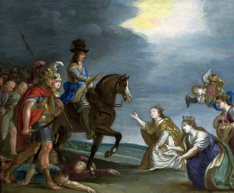
The Thirty Years' War, fought primarily in Central Europe between 1618 and 1648, was one of the most destructive conflicts in History of Europe, European history. An estimated 4.5 to 8 million soldiers and civilians died from battle, famine, or disease, while parts of Germany reported population declines of over 50%. Related conflicts include the Eighty Years' War, the War of the Mantuan Succession, the Franco-Spanish War (1635вҖ“1659), Franco-Spanish War, the Torstenson War, the Dutch-Portuguese War, and the Portuguese Restoration War. The war had its origins in the 16th-century Reformation, which led to religious conflict within the Holy Roman Empire. The 1555 Peace of Augsburg attempted to resolve this by dividing the Empire into Catholic and Lutheran states, but the settlement was destabilised by the subsequent expansion of Protestantism beyond these boundaries. Combined with differences over the limits of imperial authority, religion was thus an important factor in star ... [...More Info...] [...Related Items...] OR: [Wikipedia] [Google] [Baidu] |
Swedish Empire
The Swedish Empire or the Great Power era () was the period in Swedish history spanning much of the 17th and early 18th centuries during which Sweden became a European great power that exercised territorial control over much of the Baltic region. During this period it also held territories on the North Sea and some Swedish overseas colonies, overseas colonies, including New Sweden. The beginning of the period is usually taken as the reign of Gustavus Adolphus, who ascended the throne in 1611, and its end as the loss of territories in 1721 following the Great Northern War. After the death of Gustavus Adolphus in 1632, the empire was controlled for lengthy periods by part of the high Swedish nobility, nobility, such as the Oxenstierna family, acting as regents for minor monarchs. The interests of the high nobility contrasted with the uniformity policy (i.e., upholding the traditional equality in status of the Swedish estates favoured by the kings and peasantry). In territories ac ... [...More Info...] [...Related Items...] OR: [Wikipedia] [Google] [Baidu] |
Brewery
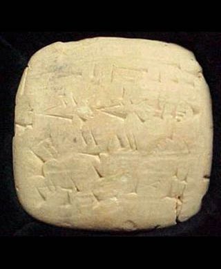
A brewery or brewing company is a business that makes and sells beer. The place at which beer is commercially made is either called a brewery or a beerhouse, where distinct sets of brewing equipment are called plant. The commercial brewing of beer has taken place since at least 2500 BC; in ancient Mesopotamia, brewers derived social sanction and divine protection from the goddess Ninkasi. Brewing was initially a cottage industry, with production taking place at home; by the ninth century, monasteries and farms would produce beer on a larger scale, selling the excess; and by the eleventh and twelfth centuries larger, dedicated breweries with eight to ten workers were being built. The diversity of size in breweries is matched by the diversity of processes, degrees of automation, and kinds of beer produced in breweries. A brewery is typically divided into distinct sections, with each section reserved for one part of the brewing process. History Beer may have been known in N ... [...More Info...] [...Related Items...] OR: [Wikipedia] [Google] [Baidu] |
Гҡsov
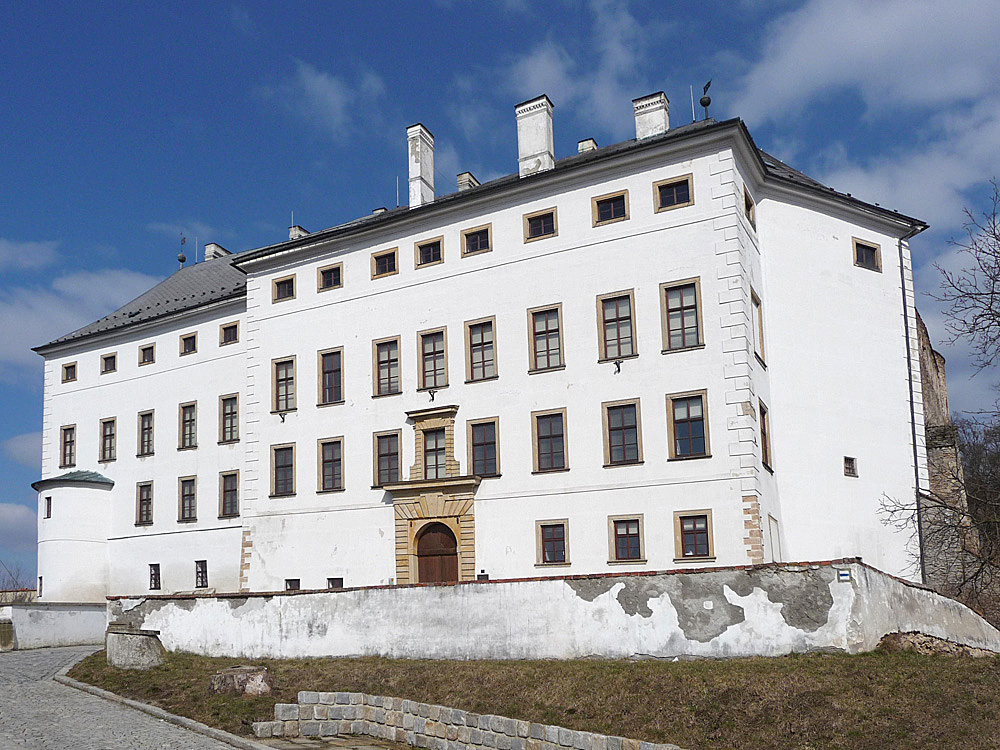
Гҡsov () is a town in Е umperk District in the Olomouc Region of the Czech Republic. It has about 1,200 inhabitants. Administrative division Гҡsov consists of two municipal parts (in brackets population according to the 2021 census): *Гҡsov (1,015) *BezdДӣkov u Гҡsova (72) BezdДӣkov u Гҡsova forms an Enclave and exclave, exclave of the municipal territory. Etymology The name was probably derived from the personal name Гҡs. The personal name arose from the old Czech word ''vГәs'' (in modern Czech ''vous''), meaning 'beard'. The German name Aussee was created by transcription of the Czech name. In the first half of the 20th century, the name MГӨhrisch Aussee ('Moravian Aussee') was used in German. The Jewish community called the town (Ojsa). Geography Гҡsov is located about south of Е umperk and northwest of Olomouc. It lies in the HanuЕЎovice Highlands. The highest point, located in the territory's exclave, is at above sea level. The Doubravka Stream flows through the villag ... [...More Info...] [...Related Items...] OR: [Wikipedia] [Google] [Baidu] |


