|
Horní Blatná
Horní Blatná () is a town in Karlovy Vary District in the Karlovy Vary Region of the Czech Republic. It has about 400 inhabitants. The town is historically associated with tin mining and is located in the Ore Mountain Mining Region, which is a UNESCO World Heritage Site. The historic town centre is well preserved and is protected as an urban monument zone. Geography Horní Blatná is located about north of Karlovy Vary. It lies in the Ore Mountains. The highest point is at above sea level. History The settlement of the area was closely connected with tin mining, the origins of which date back to the end of the 15th century. Horní Blatná was founded as a mining town in 1532. In 1548, it was promoted to a royal mining town by Emperor Ferdinand I and obtained various privileges. The railway was opened in 1898. According to the census of 1921, the town had a population of 2,090 Germans, 14 Czechoslovaks and 58 foreigners. The vast majority of the inhabitants were Roman Catholi ... [...More Info...] [...Related Items...] OR: [Wikipedia] [Google] [Baidu] |
Obec
(, ; plural ) is the Czech and Slovak word for a municipality (in the Czech Republic, in Slovakia and abroad). The literal meaning of the word is " commune" or " community". It is the smallest administrative unit that is governed by elected representatives. Cities and towns are also municipalities. Definition The legal definition (according to the Czech code of law with similar definition in the Slovak code of law) is: ''"The municipality is a basic territorial self-governing community of citizens; it forms a territorial unit, which is defined by the boundary of the municipality."'' Every municipality is composed of one or more cadastral areas. Every municipality is also composed of one or more municipal parts (), which are usually town quarters or villages. A municipality can have its own flag and coat of arms. Czech Republic Almost the entire area of the Czech Republic is divided into municipalities, with the only exception being military training areas. The smaller mu ... [...More Info...] [...Related Items...] OR: [Wikipedia] [Google] [Baidu] |
Karlovy Vary
Karlovy Vary (; , formerly also spelled ''Carlsbad'' in English) is a spa town, spa city in the Karlovy Vary Region of the Czech Republic. It has about 49,000 inhabitants. It is located at the confluence of the Ohře and Teplá (river), Teplá rivers. Karlovy Vary is named after Charles IV, Holy Roman Emperor and the King of Bohemia, who founded the city in the 14th century. The site of numerous hot springs, the city grew into a spa resort in the 19th century and was a popular destination for the European aristocracy and other luminaries. Karlovy Vary's rapid growth was brought to an end by the outbreak of World War I. After the Velvet Revolution in 1989, Karlovy Vary once again became a major tourist destination. Karlovy Vary is the most visited spa town in the Czech Republic. In 2021, the city became part of the transnational UNESCO World Heritage Site under the name "Great Spa Towns of Europe" because of its spas and architecture from the 18th through 20th centuries. The histo ... [...More Info...] [...Related Items...] OR: [Wikipedia] [Google] [Baidu] |
Cities And Towns In The Czech Republic
A city is a human settlement of a substantial size. The term "city" has different meanings around the world and in some places the settlement can be very small. Even where the term is limited to larger settlements, there is no universally agreed definition of the lower boundary for their size. In a narrower sense, a city can be defined as a permanent and densely populated place with administratively defined boundaries whose members work primarily on non-agricultural tasks. Cities generally have extensive systems for housing, transportation, sanitation, utilities, land use, production of goods, and communication. Their density facilitates interaction between people, government organizations, and businesses, sometimes benefiting different parties in the process, such as improving the efficiency of goods and service distribution. Historically, city dwellers have been a small proportion of humanity overall, but following two centuries of unprecedented and rapid urbanization, more ... [...More Info...] [...Related Items...] OR: [Wikipedia] [Google] [Baidu] |
Boží Dar
Boží Dar () is a town in Karlovy Vary District in the Karlovy Vary Region of the Czech Republic. It has about 300 inhabitants. Situated in the Ore Mountains at above sea level, it is considered the highest town in the Czech Republic. The town is part of the Abertamy – Boží Dar Mining Landscape, which is a UNESCO World Heritage Site as part of Ore Mountain Mining Region. Administrative division Boží Dar consists of three municipal parts (in brackets population according to the 2021 census): *Boží Dar (199) *Ryžovna (1) *Zlatý Kopec (1) Etymology The original German name ''Gottesgab'' and the Czech name Boží Dar both literally means 'Gift of God'. The name is said to have come from the statement of the founder of the village, John Frederick I, in which he described the local silver in this way. Geography Boží Dar is located about north of Karlovy Vary, on the border with Germany. It lies in the Ore Mountains. The highest point is the Božídarský Špičák ... [...More Info...] [...Related Items...] OR: [Wikipedia] [Google] [Baidu] |
České Dráhy
České dráhy (English: ''Czech Railways''), often shortened to ČD, is the major Rail transport, railway operator in the Czech Republic providing regional and long-distance services. The company was established in January 1993, shortly after the dissolution of Czechoslovakia, as a successor of the Czechoslovak State Railways. It is a member of the International Union of Railways, International Railway Union (UIC Country Code for the Czech Republic is 54), the Community of European Railway and Infrastructure Companies, and the Organization for Cooperation of Railways. With twenty-four thousand employeesAnnual Report of České dráhy, a.s. for the Year 2014, auditor Deloitte Audit s.r.o. ČD Group is the fifth largest Czech company by the number of employees. History In 1827–1836, the Budweis–Linz–Gmunden Horse-Drawn Railway, České Budějovice–Linz railway was built, which was the second Horsecar, horse-drawn railway in continental Europe was established. The first ... [...More Info...] [...Related Items...] OR: [Wikipedia] [Google] [Baidu] |
Karlovy Vary–Johanngeorgenstadt Railway
 The Karlovy Vary–Johanngeorgenstadt railway connects Karlovy Vary in the Czech Republic with Johanngeorgenstadt in Saxony, Germany. The highest point of this mountain railway lies above sea level. The entire line was opened for regular traffic in 1899.
The railway station at Pernink is the highest in the Ore Mountains and was for a short time also the highest railway station in the Bohemian Kingdom.
Shortly after the end of the Second World War, cross-border traffic was terminated. The track between the Czechoslovak Socialist Republic and East Germany was maintained for military reasons only. After the fall of communism in Central Europe in 1989, the newly elected democratic governments of both countries began discussions on the restoration ...
[...More Info...] [...Related Items...] OR: [Wikipedia] [Google] [Baidu] |
Expulsion Of Germans From Czechoslovakia
The expulsion of Germans from Czechoslovakia after World War II was part of a broader series of Flight and expulsion of Germans (1944–1950), evacuations and deportations of Germans from Central and Eastern Europe during and after World War II. During the German occupation of Czechoslovakia, the Czech resistance groups demanded the deportation of ethnic Germans from Czechoslovakia. The decision to deport the Germans was adopted by the Czechoslovak government-in-exile which, beginning in 1943, sought the support of the Allies of World War II, Allies for this proposal.Československo-sovětské vztahy v diplomatických jednáních 1939–1945. Dokumenty. Díl 2 (červenec 1943 – březen 1945). Praha. 1999. () However, a formal decision on the expulsion of the German population was not reached until 2 August 1945, at the conclusion of the Potsdam Conference#Agreements, Potsdam Conference. In the months following the end of the war, "wild" expulsions happened from May until August ... [...More Info...] [...Related Items...] OR: [Wikipedia] [Google] [Baidu] |
Reichsgau Sudetenland
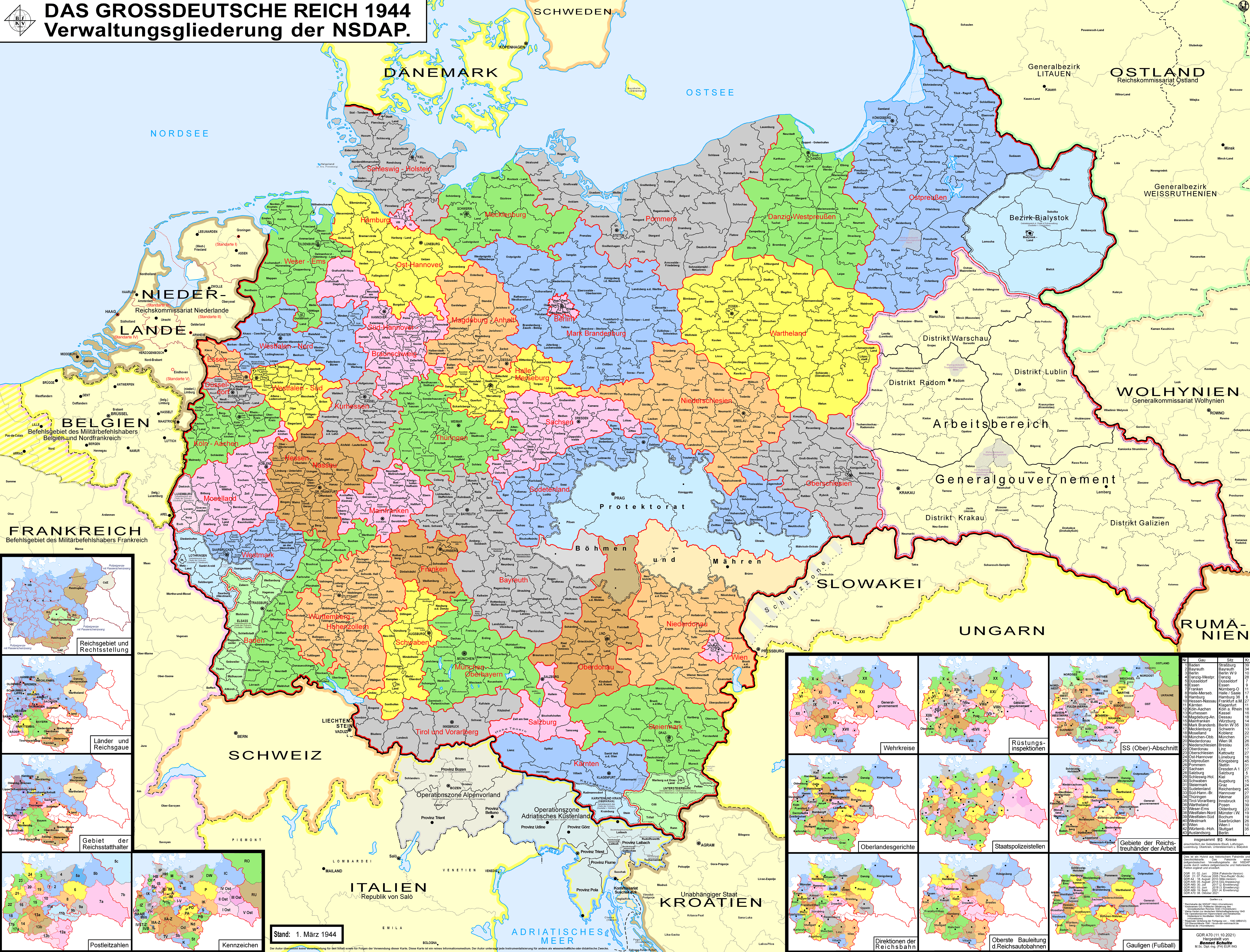
The Reichsgau Sudetenland was an administrative division of Nazi Germany from 1939 to 1945. It comprised the northern part of the ''Sudetenland'' territory, which was annexed from Czechoslovakia according to the 30 September 1938 Munich Agreement. The '' Reichsgau'' was headed by the former Sudeten German Party leader, now Nazi Party functionary Konrad Henlein as ''Gauleiter'' and ''Reichsstatthalter''. From October 1938 to May 1939, it was the regional subdivision of the Nazi Party in that area, also under Henlein's leadership. The administrative capital was Reichenberg (Liberec). History In the course of the German occupation of Czechoslovakia, on 30 September 1938 the Heads of Government of the United Kingdom, France, Italy, and Germany signed the Munich Agreement, which enforced the cession of the ''Sudetenland'' to Germany. Czechoslovak representatives were not invited. On 1 October, invading Wehrmacht forces occupied the territory. The new Czechoslovak-German borders were ... [...More Info...] [...Related Items...] OR: [Wikipedia] [Google] [Baidu] |
Nazi Germany
Nazi Germany, officially known as the German Reich and later the Greater German Reich, was the German Reich, German state between 1933 and 1945, when Adolf Hitler and the Nazi Party controlled the country, transforming it into a Totalitarianism, totalitarian dictatorship. The Third Reich, meaning "Third Realm" or "Third Empire", referred to the Nazi claim that Nazi Germany was the successor to the earlier Holy Roman Empire (800–1806) and German Empire (1871–1918). The Third Reich, which the Nazis referred to as the Thousand-Year Reich, ended in May 1945, after 12 years, when the Allies of World War II, Allies defeated Germany and entered the capital, Berlin, End of World War II in Europe, ending World War II in Europe. After Hitler was appointed Chancellor of Germany in 1933, the Nazi Party began to eliminate political opposition and consolidate power. A 1934 German referendum confirmed Hitler as sole ''Führer'' (leader). Power was centralised in Hitler's person, an ... [...More Info...] [...Related Items...] OR: [Wikipedia] [Google] [Baidu] |
Ferdinand I, Holy Roman Emperor
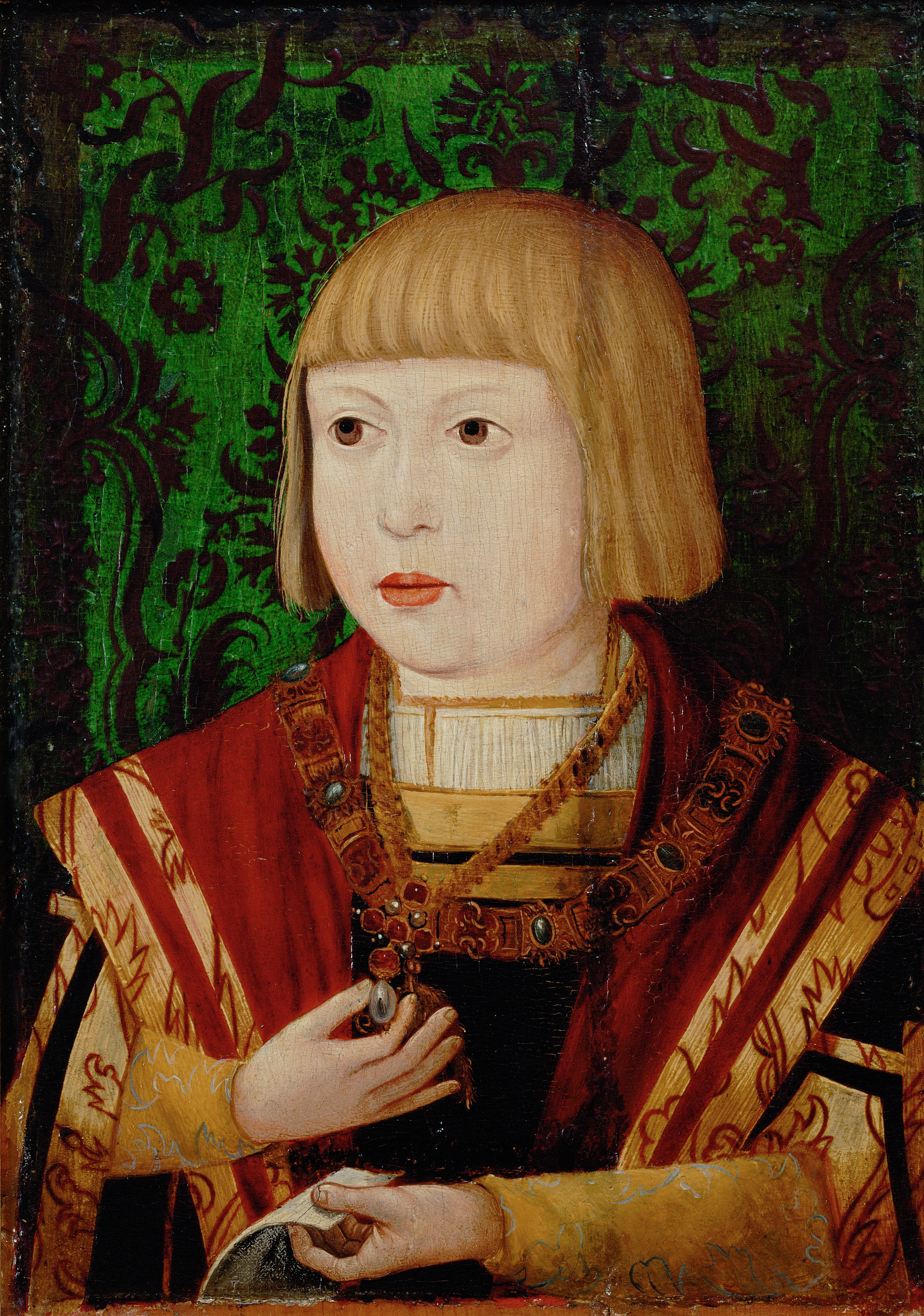
Ferdinand I (10 March 1503 – 25 July 1564) was Holy Roman Emperor from 1556, King of Bohemia, King of Hungary, Hungary, and List of rulers of Croatia, Croatia from 1526, and Archduke of Austria from 1521 until his death in 1564.Milan Kruhek: Cetin, grad izbornog sabora Kraljevine Hrvatske 1527, Karlovačka Županija, 1997, Karslovac Before his accession as emperor, he ruled the Erblande, Austrian hereditary lands of the House of Habsburg in the name of his elder brother, Charles V, Holy Roman Emperor. Also, he often served as Charles' representative in the Holy Roman Empire and developed encouraging relationships with German princes. In addition, Ferdinand also developed valuable relationships with the German banking house of Jakob Fugger and the Catalan bank, Banca Palenzuela Levi Kahana. The key events during his reign were the conflict with the Ottoman Empire, which in the 1520s began a great advance into Central Europe, and the Protestant Reformation, which resulted in s ... [...More Info...] [...Related Items...] OR: [Wikipedia] [Google] [Baidu] |
Ore Mountains
The Ore Mountains (, or ; ) lie along the Czech–German border, separating the historical regions of Bohemia in the Czech Republic and Saxony in Germany. The highest peaks are the Klínovec in the Czech Republic (German: ''Keilberg'') at above Normalnull, sea level and the Fichtelberg in Germany at . The Ore Mountains have been intensively reshaped by human intervention and a diverse cultural landscape has developed. Mining in particular, with its tips, dams, ditches and sinkholes, directly shaped the landscape and the habitats of plants and animals in many places. The region was also the setting of the earliest stages of the Early modern period, early modern transformation of mining and metallurgy from a craft to a large-scale industry, a process that preceded and enabled the later Industrial Revolution. The higher altitudes from around 500 m above sea level on the German side belong to the Ore Mountains/Vogtland Nature Parkthe largest of its kind in Germany with a length ... [...More Info...] [...Related Items...] OR: [Wikipedia] [Google] [Baidu] |


