|
Fogamaʻa Crater
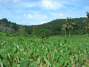
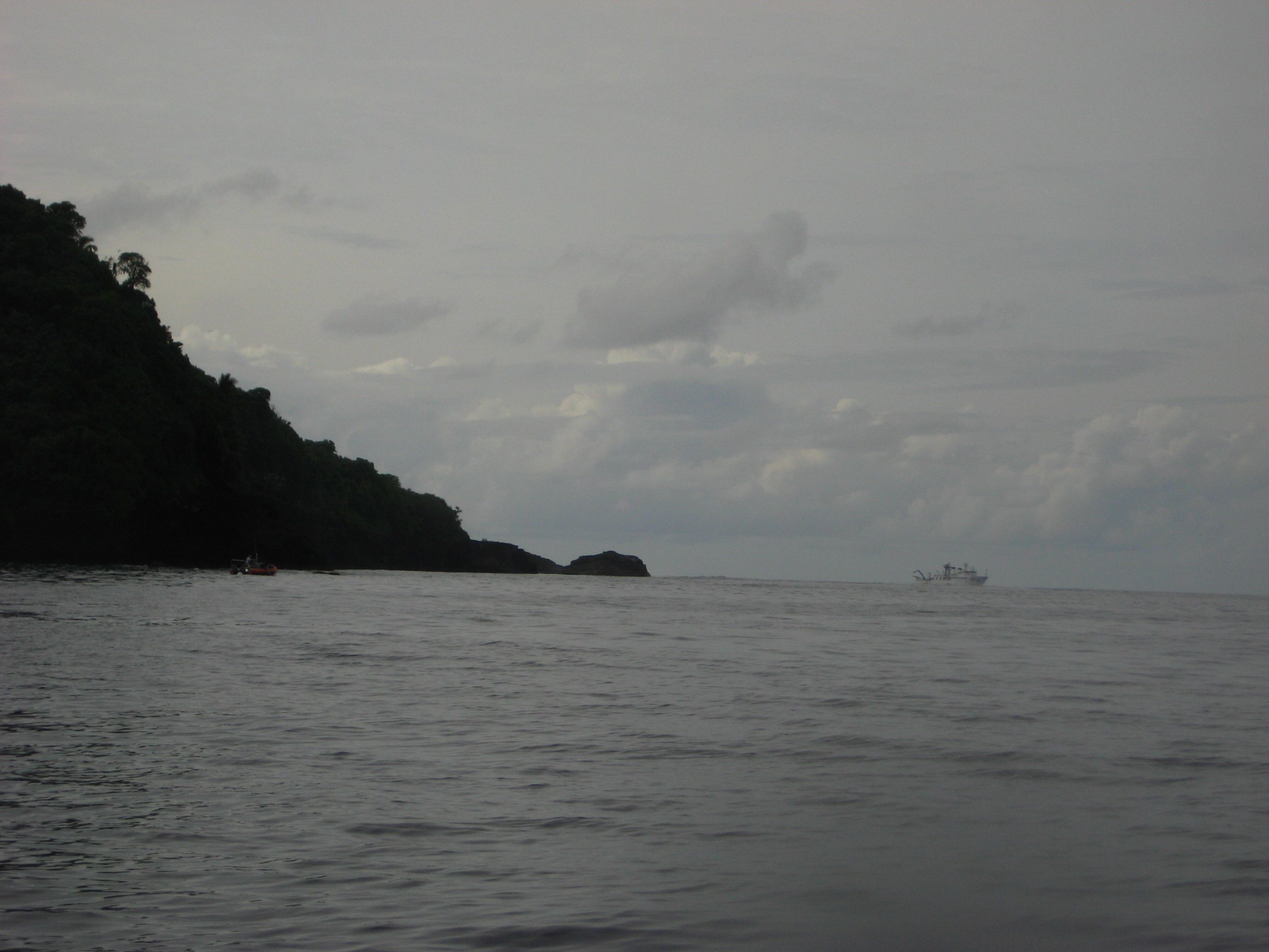
Fogamaa Crater () is a valley basin on Tutuila Island, American Samoa, immediately north of Larsen Bay. It is within the village of Futiga, just below Logotala Hill.Goldin, Meryl Rose (2002). ''Field Guide to the Samoan Archipelago: Fish, Wildlife, and Protected Areas''. Bess Press. Page 282. . It is also known as Hidden Beach or Larsen’s Cove. It is a prominent crater on the island. The Fogamaa Crater National Natural Landmark contains and was designated in 1972. It is scenic and geologically significant as the most recent illustration of volcanism in American Samoa. It is one of very few places where illustrations of the most recent episode of American Samoa volcanism can be seen. The crater is situated immediately inland from Larsen Bay, which contains two smaller coves: Fagalua and Fogamaa. Fogamaa Cove is an idyllic and isolated beach on the inner margin of Larsen's Bay. There are extensive seabird breeding grounds in Larsen's Bay. Fogamaa Crater National Natural Lan ... [...More Info...] [...Related Items...] OR: [Wikipedia] [Google] [Baidu] |
Tutuila Island
Tutuila is the largest and most populous island of American Samoa and is part of the archipelago of the Samoan Islands. It is the third largest island in the Samoan Islands chain of the Pacific Ocean, Central Pacific. It is located roughly northeast of Brisbane, Australia and lies over to the northeast of Fiji. It contains a large, natural harbor, Pago Pago Harbor, where Pago Pago, the capital of American Samoa, is situated. Pago Pago International Airport is also located on Tutuila. The island's land expanse is about 68% of the total land area of American Samoa. With 56,000 inhabitants, it is also home to 95% of the population of American Samoa. The island has six terrestrial and three marine ecosystems. Tutuila has mountainous regions, the highest point of which is . The island is attractive to tourists because of its beaches, coral reefs, and World War II relics, as well as its suitability for sporting activities such as scuba diving, snorkeling, and hiking. Etymology It is ... [...More Info...] [...Related Items...] OR: [Wikipedia] [Google] [Baidu] |
American Samoa
American Samoa is an Territories of the United States, unincorporated and unorganized territory of the United States located in the Polynesia region of the Pacific Ocean, South Pacific Ocean. Centered on , it is southeast of the island country of Samoa, east of the International Date Line and the Wallis and Futuna Islands, west of the Cook Islands, north of Tonga, and some south of Tokelau. American Samoa is the southernmost territory of the United States, situated southwest of the U.S. state of Hawaii, and one of two U.S. territories south of the Equator, along with the uninhabited Jarvis Island. American Samoa consists of the eastern part of the Samoan Islands, Samoan archipelagothe inhabited volcanic islands of Tutuila, Aunuʻu, Ofu-Olosega, Ofu, Ofu-Olosega, Olosega and Taʻū and the uninhabited Rose Atollas well as Swains Island, a remote coral atoll in the List of islands of Tokelau, Tokelau volcanic island group. The total land area is , slightly larger than Washing ... [...More Info...] [...Related Items...] OR: [Wikipedia] [Google] [Baidu] |
Larsen Bay, American Samoa
Larsen Bay is a bay in the Western District, American Samoa. Comparable to its neighboring Fagatele Bay National Marine Sanctuary, Fagatele Bay, Larsen Bay serves as a vital habitat for marine biodiversity. Larsen Bay, covering approximately 0.46 square miles, is located east of Fagatele Bay, stretching from Steps Point (American Samoa), Steps Point to Sail Rock. The bay features a steep descent to depths exceeding 500 meters and is characterized by rich coral coverage and diverse marine species. Geology The bay's geological foundation stems from volcanic activity, with its surrounding terrain shaped by erosion and volcanic collapse. Its proximity to Fagatele Bay National Marine Sanctuary, Fagatele Bay and inclusion in volcanic craters, such as the adjacent Fogāmaʻa Crater, underscores its origin within the island's dynamic volcanic history. The unconsolidated ash and cinder deposits from Larsen Bay to Olotele Mountain provide essential geological insight into the region's formati ... [...More Info...] [...Related Items...] OR: [Wikipedia] [Google] [Baidu] |
Futiga, American Samoa
Futiga (; ) is a village in the southwest of Tutuila Island, American Samoa. It is located inland, southwest of Pago Pago, between the villages of 'Ili'ili and Puapua. It is in Tualatai County. Futiga is home of the Fagatele Bay Site, an archeological site which was added to the U.S. National Register of Historic Places The National Register of Historic Places (NRHP) is the United States federal government's official list of sites, buildings, structures, districts, and objects deemed worthy of preservation for their historical significance or "great artistic ... in 1997. Futiga is the southernmost town in the United States (because it includes Steps Point) — Rose Atoll is further south, but Rose Atoll is uninhabited. Etymology The name of the village, ''Futiga'', is derived from the Samoan language and translates into English as “Plucking place". Geography Fagatele Bay Trail is a roundtrip hiking trail to the Fagatele Bay National Marine Sanctuary from the vil ... [...More Info...] [...Related Items...] OR: [Wikipedia] [Google] [Baidu] |
Volcanism
Volcanism, vulcanism, volcanicity, or volcanic activity is the phenomenon where solids, liquids, gases, and their mixtures erupt to the surface of a solid-surface astronomical body such as a planet or a moon. It is caused by the presence of a heat source, usually internally generated, inside the body; the heat is generated by various processes, such as radioactive decay or tidal heating. This heat partially melts solid material in the body or turns material into gas. The mobilized material rises through the body's interior and may break through the solid surface. Causes For volcanism to occur, the temperature of the mantle must have risen to about half its melting point. At this point, the mantle's viscosity will have dropped to about 1021 Pascal-seconds. When large scale melting occurs, the viscosity rapidly falls to 103 Pascal-seconds or even less, increasing the heat transport rate a million-fold. The occurrence of volcanism is partially due to the fact that melted materi ... [...More Info...] [...Related Items...] OR: [Wikipedia] [Google] [Baidu] |
Steps Point, American Samoa
Step(s) or STEP may refer to: Common meanings * Steps, making a staircase * Walking * Dance move * Military step, or march ** Marching Arts Films and television * ''Steps'' (TV series), Hong Kong * ''Step'' (film), US, 2017 Literature * ''Steps'' (novel), by Jerzy Kosinski * Systematic Training for Effective Parenting, a book series Music * Step (music), pitch change * Steps (pop group), UK * ''Step'' (Kara album), 2011, South Korea ** "Step" (Kara song) * ''Step'' (Meg album), 2007, Japan * "Step" (Vampire Weekend song) * "Step" (ClariS song) Organizations * STEP (company), Belgium * Society of Trust and Estate Practitioners, international professional body for advisers who specialise in inheritance and succession planning * Board on Science, Technology, and Economic Policy of the U.S. National Academies * Solving the E-waste Problem, a UN organization Science, technology, and mathematics * Step (software), a physics simulator in KDE * Step function, in mathemat ... [...More Info...] [...Related Items...] OR: [Wikipedia] [Google] [Baidu] |
Vaitogi, American Samoa
Vaitogi is a village in American Samoa. It has many missionaries and tourists who are attracted by shopping for local products. Vaitogi might be most famous of its legends about the Turtle and Shark (Laumei ma Malie). It is said that once, at a time when food was scarce, an old woman took her granddaughter to the bluff at Vaitogi, and holding hands, they leaped into the sea down below. While the young girl was transformed into a shark, the blind grandmother became a turtle. It gives its name to a local U-shaped cove in town, which was listed on the U.S. National Register of Historic Places in 2014. Fogāma'a Crater Trail is a roundtrip hiking trail in Vaitogi. The trail goes by two scenic beaches before ending at the junction with the Fagatele Bay National Marine Sanctuary Trail. Fogāma'a Crater is a National Natural Landmark. It is home to Tessarea Vaitogi Inn, which is a hotel in town. Etymology Although there is no specific account of the name’s origin, the name may be ... [...More Info...] [...Related Items...] OR: [Wikipedia] [Google] [Baidu] |
List Of National Natural Landmarks In American Samoa
This is a list of National Natural Landmarks (NNL) in American Samoa. All locations are on communally owned lands. {{DEFAULTSORT:National Natural Landmarks in American Samoa * American Samoa American Samoa is an Territories of the United States, unincorporated and unorganized territory of the United States located in the Polynesia region of the Pacific Ocean, South Pacific Ocean. Centered on , it is southeast of the island count ... American Samoa-related lists ... [...More Info...] [...Related Items...] OR: [Wikipedia] [Google] [Baidu] |


