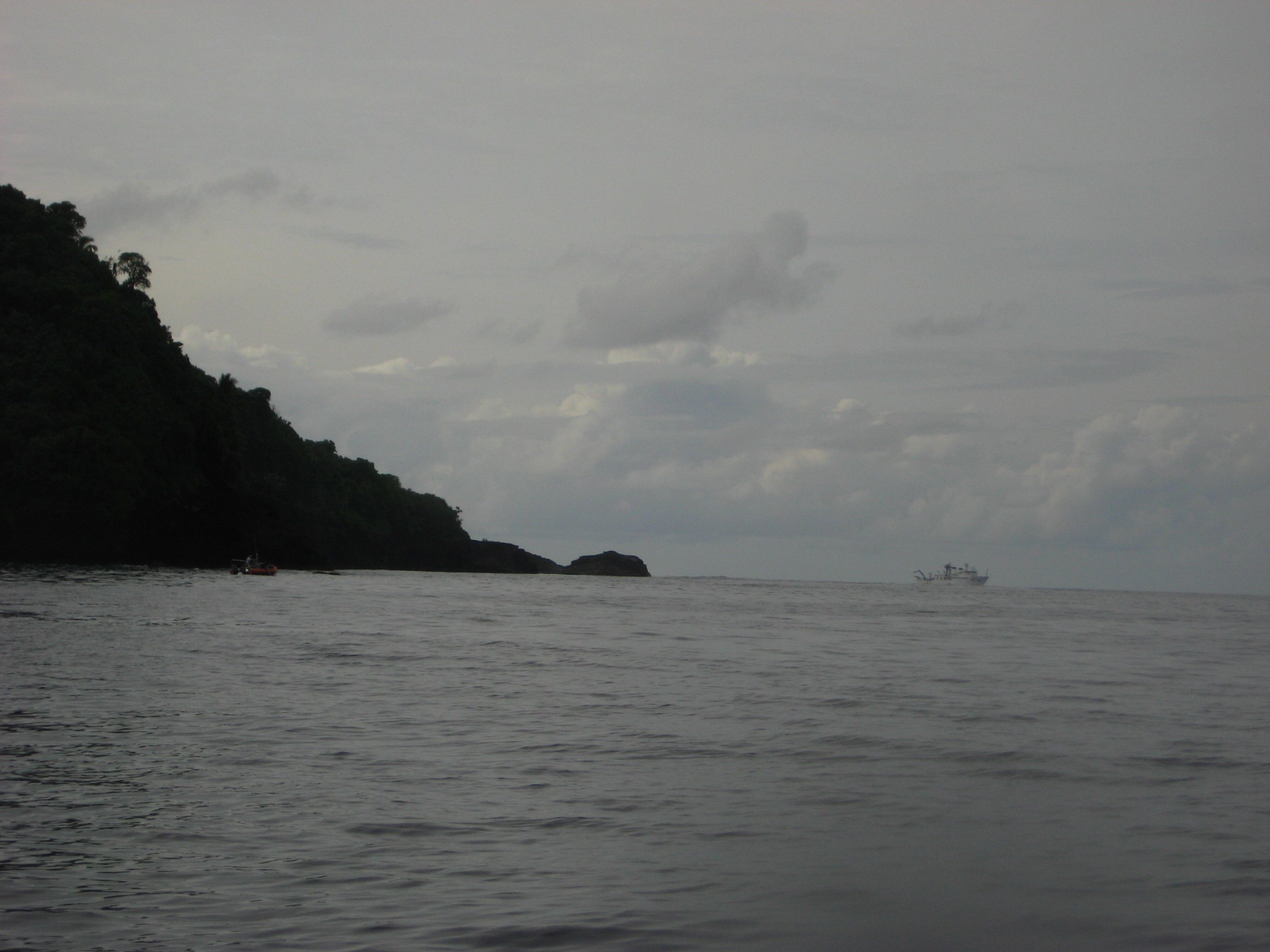
Futiga, American Samoa on:
[Wikipedia]
[Google]
[Amazon]
Futiga (; ) is a

 Access to Fagatele Bay National Marine Sanctuary is from the village of Futiga. Fagatele Bay is within National Marine Sanctuary of American Samoa and is one of two designated National Marine Sanctuaries in American Samoa. It is home to various species of animals, including hawksbill and green sea turtles. The nearest village is Taputimu, but the only access to the sanctuary is from Futiga.
Fagatele Bay is a submerged volcanic crater surrounded by steep cliffs. It contains the last remaining stretch of coastal rainforest on Tutuila Island. A trail leads along Matautuloa Ridge to the lighthouse on the headland at Steps Point.
village
A village is a human settlement or community, larger than a hamlet but smaller than a town with a population typically ranging from a few hundred to a few thousand. Although villages are often located in rural areas, the term urban v ...
in the southwest of Tutuila Island
Tutuila is the largest and most populous island of American Samoa and is part of the archipelago of the Samoan Islands. It is the third largest island in the Samoan Islands chain of the Pacific Ocean, Central Pacific. It is located roughly north ...
, American Samoa
American Samoa is an Territories of the United States, unincorporated and unorganized territory of the United States located in the Polynesia region of the Pacific Ocean, South Pacific Ocean. Centered on , it is southeast of the island count ...
. It is located inland, southwest of Pago Pago
Pago Pago ( or ; Samoan language, Samoan: )Harris, Ann G. and Esther Tuttle (2004). ''Geology of National Parks''. Kendall Hunt. Page 604. . is the capital of American Samoa. It is in Maoputasi County, American Samoa, Maoputasi County on Tutuila ...
, between the villages of 'Ili'ili and Puapua. It is in Tualatai County.
Futiga is home of the Fagatele Bay Site, an archeological site which was added to the U.S. National Register of Historic Places
The National Register of Historic Places (NRHP) is the United States federal government's official list of sites, buildings, structures, districts, and objects deemed worthy of preservation for their historical significance or "great artistic ...
in 1997.
Futiga is the southernmost town in the United States (because it includes Steps Point) — Rose Atoll is further south, but Rose Atoll is uninhabited.
Etymology
The name of the village, ''Futiga'', is derived from the Samoan language and translates into English as “Plucking place".Geography
Fagatele Bay Trail is a roundtrip hiking trail to the Fagatele Bay National Marine Sanctuary from the village of Futiga. Fagatele Bay National Marine Sanctuary is a protected nature area home to animals such as turtles and sharks. When traveling west on Route 1 to Futiga, turn left just before US Mart. Follow the road past the landfill until you reach a locked gate. The trailhead is located here. Fogamaʻa Crater is a site on the shoreline in the village of Futiga. The crater lies immediately inland from Larsen Bay, which makes up two smaller coves, Fogāma'a and Fagalua. The crater illustrates the most recent episode of volcanism in American Samoa. Futiga is home to the only landfill site in American Samoa. In 2018, it was reported that the landfill only had two years left before it reached its limit. American Samoa Power Authority was unable to find another site in the territory and instead began recompacting the site in Futiga. By digging up the landfill and recompacting it, the landfill may be usable for up to fifteen years longer.Fagatele Bay National Marine Sanctuary

 Access to Fagatele Bay National Marine Sanctuary is from the village of Futiga. Fagatele Bay is within National Marine Sanctuary of American Samoa and is one of two designated National Marine Sanctuaries in American Samoa. It is home to various species of animals, including hawksbill and green sea turtles. The nearest village is Taputimu, but the only access to the sanctuary is from Futiga.
Fagatele Bay is a submerged volcanic crater surrounded by steep cliffs. It contains the last remaining stretch of coastal rainforest on Tutuila Island. A trail leads along Matautuloa Ridge to the lighthouse on the headland at Steps Point.
Demographics
Notable people
* A. U. Fuimaono, first Delegate-at-Large to the U.S. Congress from American Sāmoa. Also Director of Agriculture, Secretary of Samoan Affairs, and Senator.Sunia, Fofō Iosefa Fiti (2001). ''Puputoa: Host of Heroes - A record of the history makers in the First Century of American Samoa, 1900-2000''. Suva, Fiji: Oceania Printers. Page 39. ISBN 9829036022.References