|
Damansara–Puchong Expressway
The Damansara–Puchong Expressway (Malay language, Malay: ''Lebuhraya Damansara–Puchong'') , abbreviated as LDP, is a major controlled-access highway in the Petaling District of Selangor, Malaysia. The expressway runs in a north–south direction between Bandar Sri Damansara and Putra Permai, near Putrajaya, forming a major thoroughfare in the cities of Petaling Jaya and Puchong. A short east–west spur of the expressway connects Pusat Bandar Puchong to the suburb of UEP Subang Jaya. Route description The Damansara–Puchong Expressway begins at the interchange with the Sungai Buloh Highway and Kuala Lumpur Middle Ring Road 2. The Kelana Jaya line, Kajang line and Sri Petaling line runs alongside substantial portions of the expressway. History The construction of the Damansara–Puchong Expressway was awarded to Lingkaran Trans Kota Holdings Bhd (Litrak). On 23 April 1996, the concession agreement was signed between the Government of Malaysia and Litrak for the privatisatio ... [...More Info...] [...Related Items...] OR: [Wikipedia] [Google] [Baidu] |
Sungai Buloh Highway
Sungai Buloh Highway or Jalan Sungai Buloh, Federal Route 54, is a major highway in Klang Valley region, Selangor state, Malaysia. The highway has now been upgraded into six-lane carriageway on 22 June 2007. History The highway was upgraded by the Malaysian Public Works Department (JKR) and the two main contractor, Melati Ehsan Holdings Berhad and Desa Purnama Sdn Bhd on 22 June 2007. The project involved upgrading and expanding the Federal Road 54, this connects to Jalan Kepong, Damansara–Puchong Expressway and to various residential areas at Sungai Buloh, Selangor such as Sierramas, Damansara Damai, and Bandar Sri Damansara. The project involves the construction of new bridges, road upgrades, drainage and utility relocation and two new interchanges. The Federal Route 54 Upgrading Project is part of the Northern Kuala Lumpur Traffic Dispersal System implemented by the Federal Government to alleviate the chronic traffic congestion along the route. The area surrounding and stra ... [...More Info...] [...Related Items...] OR: [Wikipedia] [Google] [Baidu] |
Taman Tun Dr Ismail
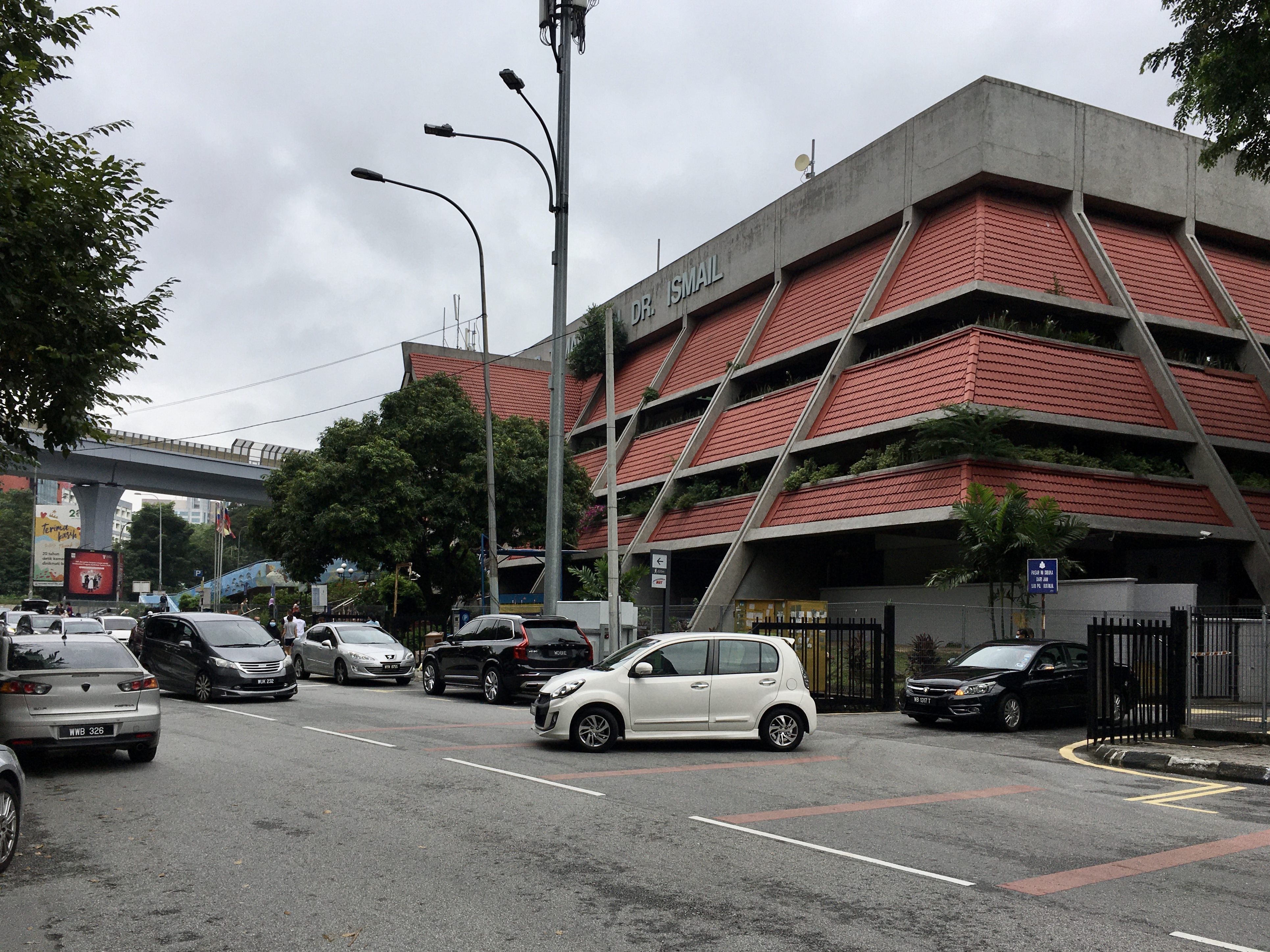
Taman Tun Dr. Ismail is a mid-sized township in Kuala Lumpur, Malaysia. Situated on the border of Kuala Lumpur and Selangor, it is within the vicinity of other townships including Bandar Utama Damansara, Damansara Utama, Mutiara Damansara. It also neighbours Bukit Kiara and Sri Hartamas and is within easy access of Bangsar and Damansara Heights. This township is in the Federal Territory of Kuala Lumpur with Kuala Lumpur City Hall (DBKL) as its local authority. It is primarily a residential neighborhood with businesses ranging from retail shops, restaurants and officesMenara Kenand Plaza VADS are the two high-rise office buildings in TTDI. The township was named after Tun Dr. Ismail bin Abdul Rahman, Malaysia's first ambassador to the United States and a Malaysian representative to the United Nations, before becoming Malaysia's Deputy Prime Minister in 1970. Taman Tun Dr. Ismail is often abbreviated as "TTDI". History Taman Tun Dr. Ismail was originally a 286-hectare piec ... [...More Info...] [...Related Items...] OR: [Wikipedia] [Google] [Baidu] |
Petaling District
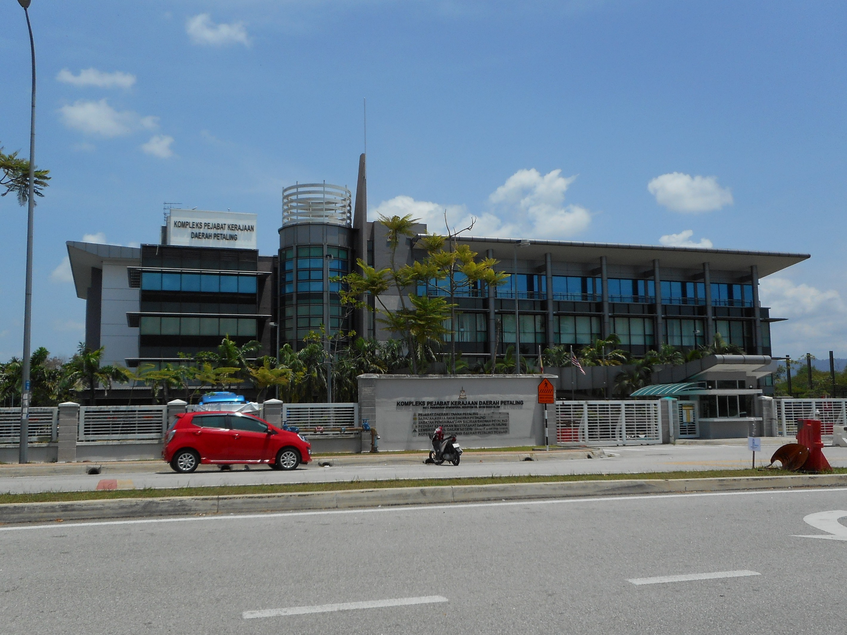
The Petaling District is a district located in the heart of Selangor in Malaysia. Petaling is not to be confused with the city of Petaling Jaya located in it, nor the ''mukim'' of Petaling under Subang Jaya City. The district office is located in Subang, Selangor, Subang. The district of Petaling was established on 1 February 1974, the same day Kuala Lumpur was declared a Federal Territories (Malaysia), Federal Territory. This district is located in the middle of the Klang Valley adjacent to the capital and thus has experienced tremendous urbanisation. Some of the original forests remain in the Bukit Cherakah Forest Reserve (including the National Botanic Gardens Shah Alam, National Botanic Gardens), Kota Damansara Community Forest Park and Bukit Gasing. During the 1991 census, it recorded 633,165 people. The official 2010 census recorded the population of Petaling as 1,660,869 people, excluding foreigners. Petaling is 484.32 km2 in area. The urban centres are divided into ... [...More Info...] [...Related Items...] OR: [Wikipedia] [Google] [Baidu] |
Controlled-access Highway
A controlled-access highway is a type of highway that has been designed for high-speed vehicular traffic, with all traffic flow—ingress and egress—regulated. Common English terms are freeway, motorway, and expressway. Other similar terms include ''wikt:throughway, throughway'' or ''thruway'' and ''parkway''. Some of these may be limited-access highways, although this term can also refer to a class of highways with somewhat less isolation from other traffic. In countries following the Vienna Convention on Road Signs and Signals, Vienna convention, the motorway qualification implies that walking and parking are forbidden. A fully controlled-access highway provides an unhindered flow of traffic, with no traffic signals, Intersection (road), intersections or frontage, property access. They are free of any at-grade intersection, at-grade crossings with other roads, railways, or pedestrian paths, which are instead carried by overpasses and underpasses. Entrances and exits to t ... [...More Info...] [...Related Items...] OR: [Wikipedia] [Google] [Baidu] |
Malay Language
Malay ( , ; , Jawi alphabet, Jawi: ) is an Austronesian languages, Austronesian language spoken primarily by Malays (ethnic group), Malays in several islands of Maritime Southeast Asia and the Malay Peninsula on the mainland Asia. The language is an official language of Brunei, Malaysia, and Singapore. Indonesian language, Indonesian, a standardized variety of Malay, is the official language of Indonesia and one of the working languages of East Timor. Malay is also spoken as a regional language of Malays (ethnic group), ethnic Malays in Indonesia and the Thai Malays, southern part of Thailand. Altogether, it is spoken by 60 million people across Maritime Southeast Asia. The language is pluricentric and a ISO 639 macrolanguage, macrolanguage, i.e., a group of Mutual intelligibility, mutually intelligible speech varieties, or dialect continuum, that have no traditional name in common, and which may be considered distinct languages by their speakers. Several varieties of it ar ... [...More Info...] [...Related Items...] OR: [Wikipedia] [Google] [Baidu] |
Cyberjaya
Cyberjaya (a portmanteau of ''cyber'' and ''Putrajaya'') is a planned city with a science park as its core that forms part of Greater Kuala Lumpur, in Malaysia. It is located in Sepang District, Selangor. Cyberjaya is adjacent to and developed along with Putrajaya, Malaysia's government seat. The city aspires to be known as the Silicon Valley of Malaysia. The official opening ceremony for Cyberjaya was held on 17 May 1997 by then-Prime Minister, Mahathir Mohamad. Many multinational companies and data centres are located in the city. History Until 1975, what is today Cyberjaya, Putrajaya and Dengkil (state constituency), Dengkil were under the administration of Hulu Langat, Hulu Langat (Kajang) district. On the site of today's Cyberjaya once stood an estate, ''Prang Besar'' (Great War). The idea of an Information technology, IT-themed city, Cyberjaya, arose out of a study by management consultancy McKinsey & Company, McKinsey for the Multimedia Super Corridor commissioned by ... [...More Info...] [...Related Items...] OR: [Wikipedia] [Google] [Baidu] |
Putrajaya
Putrajaya (), officially the Federal Territory of Putrajaya (), is the administrative centre of Malaysia. The Seat of government, seat of the Government of Malaysia, federal government of Malaysia was moved in 1999 from Kuala Lumpur to Putrajaya because of overcrowding and congestion, whilst the seat of the judiciary of Malaysia was later moved to Putrajaya in 2003. Kuala Lumpur remains as Malaysia's national capital city per the Constitution of Malaysia, constitution and is still the seat of the Yang di-Pertuan Agong, head of state (Yang di-Pertuan Agong) and the national legislature (Parliament of Malaysia), as well as being the country's commercial and financial centre. The establishment of Putrajaya was the idea of Prime Minister Mahathir Mohamad. First thought of in the 1990s, Putrajaya was envisioned to be “a laboratory for a new form of electronic government" that would emphasize new adoption of, investment in internet, media, and digital communications. The developmen ... [...More Info...] [...Related Items...] OR: [Wikipedia] [Google] [Baidu] |
Shah Alam
Shah Alam (, from Persian language, Persian, meaning "king of the world") is a city and the state capital of Selangor, Malaysia which is situated within the Petaling District and a small portion of the neighbouring Klang District. Shah Alam replaced Kuala Lumpur as the capital city of the state of Selangor in 1978 due to Kuala Lumpur's incorporation into a Federal Territory (Malaysia), Federal Territory in 1974. Shah Alam was the first List of planned cities, planned city in Malaysia after Independence Day (Malaysia), independence from Britain in 1957. History Malaysia grew rapidly after its independence in 1957 under its second Prime Minister of Malaysia, Prime Minister, Allahyarham Tun Abdul Razak, Tun Abdul Razak Hussein. Shah Alam was once known as Sungai Renggam and was noted for its rubber and oil palm estates. Later, the same area was identified as Batu Tiga prior to Malaysian independence, and has been a centre of rubber and palm oil trade for centuries. The Sungai Reng ... [...More Info...] [...Related Items...] OR: [Wikipedia] [Google] [Baidu] |
Sungai Besi
Sungai Besi (formerly known as ''Sungei Besi'') (English: Steel River) is a town and suburb within the Federal Territory of Kuala Lumpur. The federal constituency of Sungai Besi existed from 1974 to 1995. Sungai Besi was a historical mining town with many heavy industries such as steelworks, waste steel plants and other steel industries. Sungei Besi Tin Mine site was the largest and deepest open cast alluvial tin mine in the world and in Malaysia. The town has since developed from a large area of village settlements. Background and progress The town is still in its original settings. The village structures are from the early days of the town. Most of the buildings are built from wood and the pathways are narrow. There is also a modest century-old Chinese temple ( 仙四師爺廟(新街場) ) which is founded in 1901 inside the town area. The vibrant area of Sungai Besi is located within the shops and the area near with the police station. Sungai Besi has many street vendo ... [...More Info...] [...Related Items...] OR: [Wikipedia] [Google] [Baidu] |
UEP Subang Jaya
UEP Subang Jaya (commonly called "USJ" for United Estates Projects Bhd. Subang Jaya) is a major affluent township located in Subang Jaya, Selangor, Malaysia. It is located within the Mukim (sub-district) of Damansara, Selangor, Damansara in the district of Petaling. History UEP Subang Jaya was first proposed in 1984 as "Seafield Jaya" and was supposed to be a joint venture with Consolidated Plantations before it was transferred to UEP in April 1985. By 1988 it would use its current name with the UEP standing for its developer, Sime UEP Properties Berhad, United Estates Projects, a property business owned by Sime Darby. The township, acting as an extension to Subang Jaya, would be developed over 10 to 11 phases within 10 years and would have a population of about 120,000. With 25,000 units of "flats, shops and residential houses" spanning over 726 hectares, it aims at the middle class and emphasises on community building. Awards for the earthworks contract were given in April 1988 ... [...More Info...] [...Related Items...] OR: [Wikipedia] [Google] [Baidu] |
Puchong
Puchong is a major town and a parliamentary constituency in the Petaling District, in the state of Selangor, Malaysia. Bordering Kuala Lumpur, it is part of the Greater Kuala Lumpur area. It is bordered by Petaling Jaya in the north, Subang Jaya in the west, Cyberjaya and Putrajaya in the south, and Seri Kembangan in the east. Once a small settlement consisting of the tin mining and rubber tapping communities, Puchong has evolved into one of Klang Valley's most vibrant and bustling townships. While parts of Puchong have developed with residents who commute and work in both urban and suburban areas, many pockets have yet to fully mature, allowing a greater sprawl of urban dwellers to seek inhabitancy. This demand in living space is largely driven by the commute distance to Kuala Lumpur City Centre and sharp increase in property prices across other parts of the Kuala Lumpur (KL) metropolitan area. History The first settlers of the area were the Orang Asli community in a vill ... [...More Info...] [...Related Items...] OR: [Wikipedia] [Google] [Baidu] |
Petaling Jaya
Petaling Jaya (), colloquially referred to as "PJ", is a city in Petaling District, in the state of Selangor, Malaysia. Originally developed as a Satellite city, satellite township for Kuala Lumpur, the capital of Malaysia, it is part of the Greater Kuala Lumpur area. Petaling Jaya was granted city status on 20 June 2006. It has an area of approximately . Petaling Jaya is surrounded by Kuala Lumpur to the east, Sungai Buloh to the north, Shah Alam, the capital of Selangor, and Subang Jaya to the west, and Bandar Kinrara (Puchong) to the south. History Under plans developed by Francis McWilliams, the city was developed during post-war British Malaya on a piece of rubber estate, the ''Effingham Estate'', around Old Klang Road to address the overpopulation of the capital Kuala Lumpur in the 1950s. Since 1952, PJ witnessed a dramatic growth in terms of population size and geographical importance. The development of Petaling Jaya commenced in 1952 with the construction of 800 ho ... [...More Info...] [...Related Items...] OR: [Wikipedia] [Google] [Baidu] |


