|
Dalhousie Parish, New Brunswick
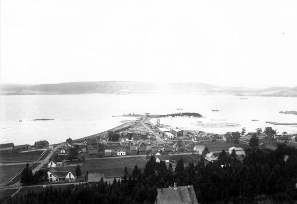
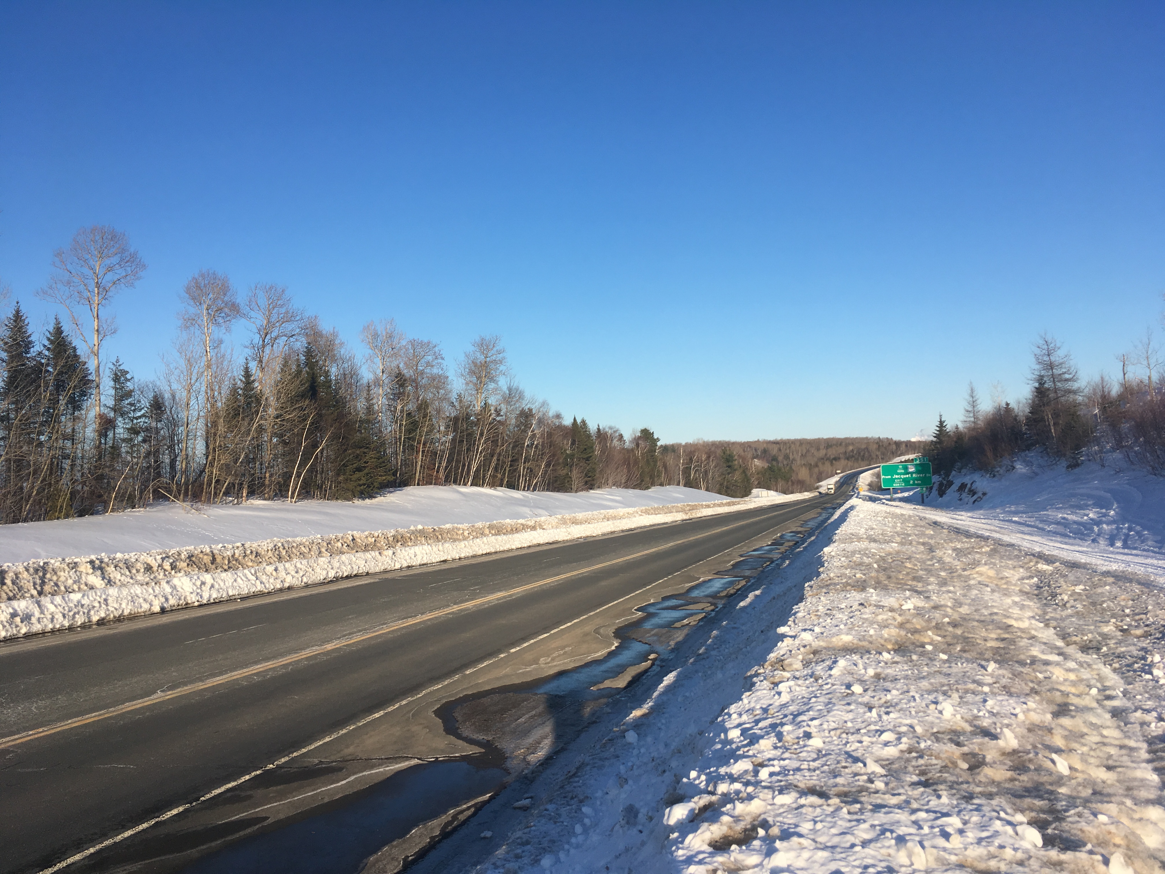
Dalhousie is a civil parish in Restigouche County, New Brunswick, Canada. For governance purposes it is divided between the city of Campbellton, the town of Heron Bay, the village of Bois-Joli, and the Eel River 3 and Indian Ranch Indian reserves; the municipalities are all members of the Restigouche Regional Service Commission. Prior to the 2023 governance reform, the parish also included parts of the town of Dalhousie, the villages of Atholville, Charlo, New Brunswick, Charlo and Eel River Crossing, New Brunswick, Eel River Crossing, and the Local service district (New Brunswick), local service districts of Dalhouse Junction, McLeods, Point La Nim, and the parish of Dalhousie, which had been reduced to scattered pieces by the creation and growth of other LSDs and municipalities. The reform merged Atholville with Campbellton, Eel River Crossing with Balmoral, New Brunswick, Balmoral to form Bois-Joli, and Dalhouse with Charlo to form Heron Bay. Campbellton also annexed mos ... [...More Info...] [...Related Items...] OR: [Wikipedia] [Google] [Baidu] |
List Of Parishes In New Brunswick
The Canadian province of New Brunswick is divided by the ''Territorial Division Act'' into 152 parishes, units which had political significance as subdivisions of counties until the Municipalities Act of 1966. Parishes still exist in law and include any municipality, rural community, or regional municipality within their borders. They provided convenient boundaries for electoral districts and organising delivery of government services for some time after 1966 but were gradually supplanted for such purposes by local service districts (LSDs), which better represent communities of interest. Local governance reforms scheduled for 1 January 2023 will abolish the local service district as a unit of governance but this will not affect the existence of civil parishes. Parishes are still usedAs of July 2021, by more than a dozen Acts and more than fifty Regulations. to describe legal boundaries for health administration judicial matters, agricultural boards, and some other entities; highwa ... [...More Info...] [...Related Items...] OR: [Wikipedia] [Google] [Baidu] |
Eel River Crossing, New Brunswick
Eel River Crossing (2016 population: 1,953) is a Canadian village in Restigouche County, New Brunswick. The village branded itself Eel River Dundee in 2018 but the legal name remains Eel River Crossing. Eel River (Chaleur Bay) A descriptive derived from the French designation Anguille. Anse a l'Anguille changed to Eel River Cove by petition on October 14, 1950. In Mi'kmaq, Eel River was known as ''Okpĕgŭnchĭk'' which meant "discoloured foam on the water". On 1 January 2023, Eel River Crossing will become part of the new village of Bois-Joli. History Its name usually being simplified to Eel River, the village is situated on the river of that name. The word "Crossing" was added to the name after the Intercolonial Railway built its Halifax- Rivière-du-Loup main line through the community in 1875. Since 1972 A high-voltage converter station The Eel River Converter Station is located in river crossing Demographics In the 2021 Census of Population conducted by Sta ... [...More Info...] [...Related Items...] OR: [Wikipedia] [Google] [Baidu] |
Dalhousie, New Brunswick
Dalhousie ( ) is a formerly incorporated town, located in Restigouche County, New Brunswick. New Brunswick's northernmost point of land is situated in Dalhousie, where the Restigouche River meets Chaleur Bay. On 1 January 2023, Dalhousie merged with the village of Charlo and several local service districts (LSDs) to form the new town of Heron Bay – French name ''Baie-des-Hérons''. Dalhousie remains in use by the province's 911 system. History Dalhousie is the shire town of Restigouche County and dates European settlement to 1800. The Town of Dalhousie has been through some very distinct periods between its founding in 1825 and today. Prior to 1825, few showed much interest in the northern part of the province, but in that year the Great Miramichi Fire raged through central New Brunswick and into Maine, destroying the forests that were the mainstay of the province's economy. Lumbermen looked north to the great pine stands of the Nipisiguit and the Restigouche. Dalhou ... [...More Info...] [...Related Items...] OR: [Wikipedia] [Google] [Baidu] |
Lac-des-Lys, New Brunswick
Lac-des-Lys is an unincorporated community in Restigouche County, New Brunswick, Canada. History Notable people See also *List of communities in New Brunswick This is a list of communities in New Brunswick, a province in Canada. For the purposes of this list, a community is defined as either an incorporated municipality, an Indian reserve, or an unincorporated community inside or outside a municipalit ... References Communities in Restigouche County, New Brunswick {{NewBrunswick-geo-stub ... [...More Info...] [...Related Items...] OR: [Wikipedia] [Google] [Baidu] |
New Brunswick Route 275
Route 275 is a -long local highway in northeast New Brunswick, Canada. Communities along Route 275 * Glencoe * Val-Melanson * Saint-Arthur * McKendrick * Maltais * Blair Athol * Upper Balmoral * Balmoral * Selwood * Eel River Crossing * Darlington See also *List of New Brunswick provincial highways This is a list of numbered provincial highways in the Canadian province of New Brunswick. These provincial highways are maintained by the Department of Transportation and Infrastructure in New Brunswick. For a list of formerly-numbered highways, ... References New Brunswick provincial highways Roads in Restigouche County, New Brunswick {{NewBrunswick-road-stub ... [...More Info...] [...Related Items...] OR: [Wikipedia] [Google] [Baidu] |
New Brunswick Route 280
Route 280 is an local highway in northeast New Brunswick, Canada. Communities along Route 280 * McLeods * Upper Dundee * Shannonvale * Dundee * Eel River Cove * Charlo See also *List of New Brunswick provincial highways This is a list of numbered provincial highways in the Canadian province of New Brunswick. These provincial highways are maintained by the Department of Transportation and Infrastructure in New Brunswick. For a list of formerly-numbered highways, ... References New Brunswick provincial highways Roads in Restigouche County, New Brunswick {{NewBrunswick-road-stub ... [...More Info...] [...Related Items...] OR: [Wikipedia] [Google] [Baidu] |
New Brunswick Route 11
Route 11 is a provincial highway in northeastern New Brunswick, Canada. The road runs from Moncton to the Quebec border, near Campbellton, at the Matapédia Bridge, following the province's eastern and northern coastlines. Between Shediac Bridge and Miramichi, and between Bathurst and Campbellton, it is a two-lane road with some sections designed as a super two expressway. The highway is twinned for 7 kilometres in the Shediac region near the Route 15 interchange. Route description The southern terminus of Route 11 is at an interchange with Route 2 in Moncton, where it begins a concurrency with Route 15 for to Shediac. At Shediac, Route 11 departs Route 15 and turns northward, where its exit numbers are reset. It runs northward, parallel to Route 134 as a four-lane divided highway for , then becomes a super two controlled-access highway. The route passes through the communities of Shediac Cape, intersecting Route 134, and crosses the Shediac River. The highway then ... [...More Info...] [...Related Items...] OR: [Wikipedia] [Google] [Baidu] |
Chaleur Bay
frame, Satellite image of Chaleur Bay (NASA). Chaleur Bay is the large bay in the centre of the image; the Gulf_of_St._Lawrence.html" ;"title="Gaspé Peninsula is to the north and the Gulf of St. Lawrence">Gaspé Peninsula is to the north and the Gulf of St. Lawrence is seen to the east. Chaleur Bay, also Chaleurs Bay, baie of Chaleur (in ), is an arm of the Gulf of Saint Lawrence located between Quebec and New Brunswick, Canada. The name of the bay is attributed to explorer Jacques Cartier (Baie des Chaleurs). It translates into English as "bay of warmth" or "bay of torrid weather". Chaleur Bay is the 31st member of the Most Beautiful Bays of the World Club. Chaleur Bay is host to an unusual visual phenomenon, the Fireship of Chaleur Bay, an apparition of sorts resembling a ship on fire which has reportedly appeared at several locations in the bay. It is possibly linked to similar sightings several hundred kilometres to the south where the Fireship of Northumberland Strai ... [...More Info...] [...Related Items...] OR: [Wikipedia] [Google] [Baidu] |
Restigouche River
The Restigouche River (french: Rivière Ristigouche) is a river that flows across the northwestern part of the province of New Brunswick and the southeastern part of Quebec. The river flows in a northeasterly direction from its source in the Appalachian Mountains of northwestern New Brunswick to Chaleur Bay. Its meander length is approximately . The Restigouche is fed by several tributaries flowing south from Quebec's Notre Dame Mountains on the western edge of the Gaspé Peninsula ( Kedgwick River, Gounamitz River, Patapédia River, and Matapedia River) as well as the Upsalquitch River flowing north from New Brunswick's ''Chaleur Uplands''. Located mostly in New Brunswick, the river forms the inter-provincial boundary between the two provinces from its confluence with the Patapédia River to its mouth at Dalhousie, New Brunswick and Miguasha, Quebec where it discharges into Chaleur Bay. The estuary is in length, extending from the river's discharge point at Dalhousie in ... [...More Info...] [...Related Items...] OR: [Wikipedia] [Google] [Baidu] |
Balmoral Parish, New Brunswick
Balmoral is a civil parish in Restigouche County, New Brunswick, Canada. For governance purposes it was divided between the villages of Atholville, Balmoral, Charlo, and Eel River Crossing; the Indian reserve of Moose Meadows 4; and the local service districts of Balmoral-St. Maure, Blair Athol, and the parish of Balmoral, all of which except the Indian reserve are members of the Restigouche Regional Service Commission (RRSC). As of the 2021 census, the parish has a population of 309. Origin of name The parish may have gotten its name from Balmoral Castle, Scotland, increasingly used by Queen Victoria at the time. William F. Ganong had no idea of its origin, noting only that there was a place of that name in Scotland. History Balmoral was erected in 1896 from Dalhousie Parish. Boundaries Balmoral Parish is bounded: Remainder of parish on maps 6, 13, 14, 25, 26, 38, and 39 at same site. Remainder of parish on mapbooks 003, 013–015, 027–029, 046–048, 066–0 ... [...More Info...] [...Related Items...] OR: [Wikipedia] [Google] [Baidu] |
Addington Parish, New Brunswick
Addington is a civil parish in Restigouche County, New Brunswick, Canada. For governance purposes it was divided between the city of Campbellton, the villages of Atholville and Tide Head, and the local service districts of Flatlands, Glencoe, and the parish of Addington, all of which are members of the Restigouche Regional Service Commission (RRSC). On 1 January 2023, Glencoe and bordering areas of the LSD of the parish of Addington became part of the city of Campbellton; Flatlands and the remainder of the parish LSD will become part of the Restigouche rural district. Origin of name The parish was named in honour of Henry Unwin Addington, a diplomat who was appointed in 1826 as a plenipotentiary in the boundary negotiations with the United States. He was the nephew of Henry Addington, Prime Minister of the United Kingdom 1801–1804. The other plenipotentiary in 1826 was William Huskisson, for whom Huskisson Parish in Kent County was named at the same time. History ... [...More Info...] [...Related Items...] OR: [Wikipedia] [Google] [Baidu] |


