|
Cranhill
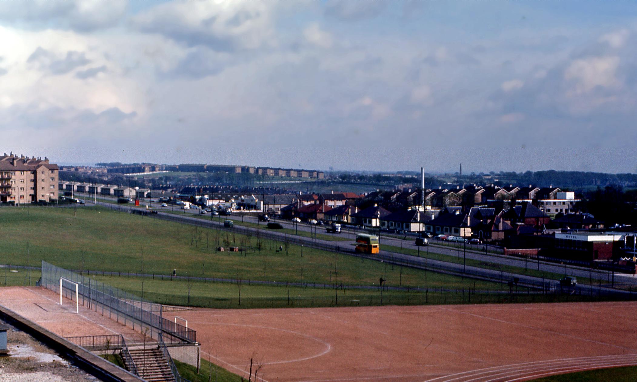
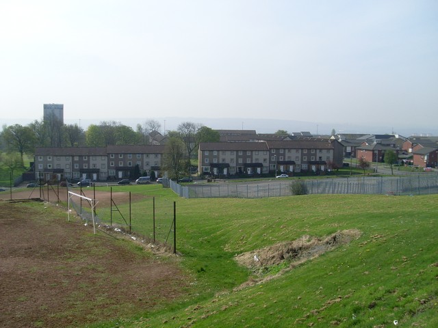
Cranhill is an inner city district and housing scheme in the north east of Glasgow, Scotland. Cranhill was developed from public funding in the early 1950s and was originally, chiefly composed of four-storey tenement blocks surrounding a patch of grassland, which became Cranhill Park. Later development saw the building of three tower blocks (locally, ''high-flats''), surrounded by rows of terraced maisonettes. In more recent years, a number of semi-detached and detached homes have been built. The area also hosts some shops, two primary schools and nurseries, a community centre and the Cranhill water tower. Infamous for its illegal drug trade and anti-social youth culture, Cranhill was often dubbed " Smack City" in the media. The community was redeveloped from the late 1990s, although unemployment stood at 50% as of 2009. History Cranhill was built in the early 1950s on the eastern outskirts of the city to alleviate the post-war housing shortage, like other similar publi ... [...More Info...] [...Related Items...] OR: [Wikipedia] [Google] [Baidu] |
Queenslie
Queenslie is a district in the Scottish city of Glasgow. Established in the 1950s as a large industrial estate with a small area of residential housing with a primary school, by the late 1990s the condition of the tenement properties had deteriorated and the local authority decided to demolish them altogether and extend the industrial provision, which in the early 21st century is the largest such dedicated estate in the city ( Hillington falls just outside the city boundaries). Location Situated just to the east of Cranhill with the boundary being Stepps Road, Queenslie is separated from Garthamlock to the north by the M8 motorway, originally the Monkland Canal, while Bartiebeith Road forms the south-east boundary with Wellhouse – these are all residential housing schemes built in the same era as Queenslie. To the south-west is the A8 Edinburgh Road, a major trunk road and bus route. The Springboig and Barlanark neighbourhoods lie on the opposite side of the main thorough ... [...More Info...] [...Related Items...] OR: [Wikipedia] [Google] [Baidu] |
Springboig
Springboig is a neighbourhood in the east end of the Scottish city of Glasgow, situated north of the River Clyde. Administratively, it has been within the city's East Centre ward since 2017, having previously been in the Baillieston ward. Springboig is bordered to the south by Shettleston and Budhill, to the east by Barlanark and Sandymount Cemetery, directly to the west by Greenfield with Carntyne, St Andrews Secondary School, Lightburn Hospital and Greenfield Park beyond, and to the north by the Edinburgh Road (A8), with Cranhill and Queenslie on the opposite side of the carriageways. History Named after a farm which previously occupied the land, the Springboig area stayed in Lanarkshire when most of the surrounding territory at Shettleston was transferred into Glasgow in 1912 - it remained in the Bothwell constituency along with Mount Vernon and Baillieston, and did not formally join the city until a reorganisation under the Local Government (Scotland) Act 1973. The ... [...More Info...] [...Related Items...] OR: [Wikipedia] [Google] [Baidu] |
Ruchazie
Ruchazie ( ) is a neighbourhood in the Scottish city of Glasgow. It is situated to the north-east of the city, bordered by Craigend and Garthamlock to the east and the open ground of Hogganfield Park and Lethamhill Golf Course to the north. Ruchazie is separated from Cranhill to the south and Riddrie to the west by the M8 motorway (''Junctions 11 and 12'' of which directly serve the area), previously the route of the Monkland Canal. A small hamlet existed in the area from at least the 18th to the mid-20th century near to the Gartcraig Colliery, located where the local housing office now stands. There was also a productive brick works at Gartcraig from the 1870s to the 1920s, and two country house estates, ''Croftcroighn'' and ''Craigend''. Developed for housing as part of the city's 'Greater Easterhouse' programme in the 1950s, mostly consisting of tenements, the neighbourhood was at the centre of the Glasgow Ice Cream Wars in the 1980s which culminated in the death of a lo ... [...More Info...] [...Related Items...] OR: [Wikipedia] [Google] [Baidu] |
A8 Road (Great Britain)
The A8 is a major road in Scotland, connecting Edinburgh to Greenock via Glasgow. Its importance diminished following the construction of the M8 motorway which also covers the route between Edinburgh and Glasgow. Route and relationship to M8 Edinburgh The A8 begins at the West End of Edinburgh, in the New Town. The road originally also included Princes Street, but this stretch was declassified, as Princes Street is no longer open to all traffic. The road continues westwards into the suburbs of the city passing Murrayfield and Corstorphine, often with an accompanying bus lane. Only once the road reaches the A720 City Bypass does it become a primary route, leading out past the Royal Highland Showground at Ingliston, and Edinburgh Airport. At Newbridge, the A8 meets the start of the M8 and M9 motorways. From here the A8 is interrupted; it has been renumbered A89 until Bathgate, A7066 to Whitburn and then B7066 Harthill, until it resumes at Newhouse. Glasgow From Newh ... [...More Info...] [...Related Items...] OR: [Wikipedia] [Google] [Baidu] |
Carntyne
Carntyne ( gd, Càrn an Teine) is a suburban district in the Scottish city of Glasgow. It is situated north of the River Clyde, and in the east end of the city. Since 2007 it has formed the core of the East Centre ward under Glasgow City Council, which also includes the neighbouring Riddrie and Cranhill areas. Carntyne may have derived its name from the Southern Picto-Scot Settlement of Cairn-ton, however Carntyne may be "fire cairn", from ''Càrn an Teine'' in the Gaelic, given the abundance of coal in the area. The colliery was closed in 1875 and houses were built in the 1930s, along with an industrial estate. The district is traditionally split into High and Lower Carntyne (or North and South Carntyne respectively), the division being the A8 Edinburgh Road dual carriageway which bisects the area, and has a largely ageing population. Most amenities are present, although a wider range of shops and leisure options are found nearby in the older areas of Dennistoun to the ... [...More Info...] [...Related Items...] OR: [Wikipedia] [Google] [Baidu] |
Easterhouse
Easterhouse is a suburb of Glasgow, Scotland, east of the city centre on land gained from the county of Lanarkshire as part of an expansion of Glasgow before the Second World War. The area is on high ground north of the River Clyde and south of the River Kelvin and Campsie Fells. Building began in the mid-1950s to provide better housing for people in the East End living in sub-standard conditions. At the 2001 Census, its population was 26,495. Neighbourhoods of Easterhouse include Provanhall, Kildermorie, Lochend, Rogerfield and Commonhead, as well as Wellhouse, Easthall and Queenslie which are separated from the other parts by the M8 motorway running east–west through the area. The nearby communities of Barlanark, Craigend, Cranhill, Garthamlock and Ruchazie were constructed using the same building principles and have suffered from similar problems.Gazetteer for Scotland">Auchinlea Park, Gazetteer for Scotland coal mines at Gartloch and Baillieston but mainly in ... [...More Info...] [...Related Items...] OR: [Wikipedia] [Google] [Baidu] |
Water Tower
A water tower is an elevated structure supporting a water tank constructed at a height sufficient to pressurize a distribution system for potable water, and to provide emergency storage for fire protection. Water towers often operate in conjunction with underground or surface service reservoirs, which store treated water close to where it will be used. Other types of water towers may only store raw (non-potable) water for fire protection or industrial purposes, and may not necessarily be connected to a public water supply. Water towers are able to supply water even during power outages, because they rely on hydrostatic pressure produced by elevation of water (due to gravity) to push the water into domestic and industrial water distribution systems; however, they cannot supply the water for a long time without power, because a pump is typically required to refill the tower. A water tower also serves as a reservoir to help with water needs during peak usage times. The water level ... [...More Info...] [...Related Items...] OR: [Wikipedia] [Google] [Baidu] |
Anti-social Behaviour
Antisocial behavior is a behavior that is defined as the violation of the rights of others by committing crime, such as stealing and physical attack in addition to other behaviors such as lying and manipulation. It is considered to be disruptive to others in society. This can be carried out in various ways, which includes, but is not limited to, intentional aggression, as well as covert and overt hostility. Anti-social behaviour also develops through social interaction within the family and community. It continuously affects a child's temperament, cognitive ability and their involvement with negative peers, dramatically affecting children's cooperative problem-solving skills. Many people also label behaviour which is deemed contrary to prevailing norms for social conduct as anti-social behaviour. However, researchers have stated that it is a difficult term to define, particularly in the United Kingdom where many acts fall into its category. The term is especially used in Brit ... [...More Info...] [...Related Items...] OR: [Wikipedia] [Google] [Baidu] |
Lighthouses In Scotland
This is a list of lighthouses in Scotland. The Northern Lighthouse Board, from which much of the information is derived, are responsible for most lighthouses in Scotland but have handed over responsibility in the major estuaries to the port authorities. Many of the more minor lights are not shown. A lighthouse that is no longer operating is indicated by the date of closure in the ''operated by'' column. Where two dates are shown, the lighthouse has been rebuilt. Nearly all the lighthouses in this list were designed by and most were built by four generations of one family, including Thomas Smith, who was both the stepfather and father-in-law of Robert Stevenson. Robert's sons and grandsons not only built most of the lights, often under the most appalling of conditions, but pioneered many of the improvements in lighting and signalling that cut down the enormous loss of life in shipping around the coasts of Scotland. The table may be sorted by any column by clicking on the headi ... [...More Info...] [...Related Items...] OR: [Wikipedia] [Google] [Baidu] |
M8 Motorway (Scotland)
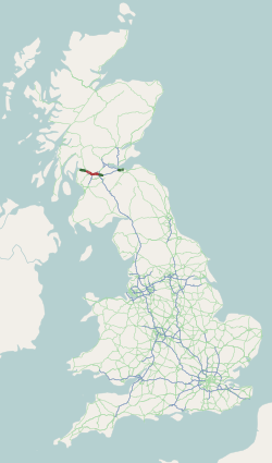
The M8 is the busiest motorway in Scotland and one of the busiest in the United Kingdom. It connects the country's two largest cities, Glasgow and Edinburgh, and serves other large communities including Airdrie, Coatbridge, Greenock, Livingston and Paisley. The motorway is long. A major construction project to build the final section between Newhouse and Baillieston was completed on 30 April 2017. The motorway has one service station, Heart of Scotland Services, previously named Harthill due to its proximity to the village. History With the advent of motorway-building in the United Kingdom in the late 1950s, the M8 was planned as one of a core of new motorways, designed to replace the A8 road as a high-capacity alternative for intercity travel. The motorway was constructed piecemeal in several stages bypassing towns, beginning in 1965 with the opening by Minister of State for Scotland George Willis of the bypass of Harthill. In 1968 the Renfrew Bypass was opened ... [...More Info...] [...Related Items...] OR: [Wikipedia] [Google] [Baidu] |
Monkland Canal
The Monkland Canal was a canal designed to bring coal from the mining areas of Monklands to Glasgow in Scotland. In the course of a long and difficult construction process, it was opened progressively as short sections were completed, from 1771. It reached Gartcraig in 1782, and in 1794 it reached its full originally planned extent, from pits at Calderbank to a basin at Townhead in Glasgow; at first this was in two sections with a vertical interval between them at Blackhill; coal was unloaded and carted to the lower section and loaded onto a fresh barge. Locks were later constructed linking the two sections, and the canal was also connected to the Forth and Clyde Canal, giving additional business potential. Maintaining an adequate water supply was a problem, and later an inclined plane was built at Blackhill, in which barges were let down and hauled up, floating in caissons that ran on rails. Originally intended as a water-saving measure to be used in summer only, the incline ... [...More Info...] [...Related Items...] OR: [Wikipedia] [Google] [Baidu] |


