|
Corfton
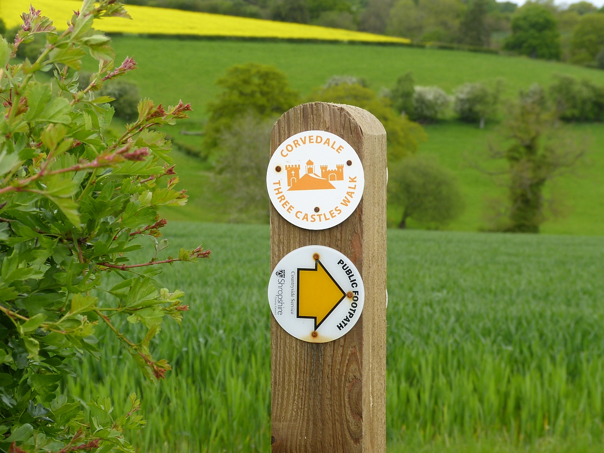
Corfton is a small village in Shropshire, England, located east of Craven Arms and north of Ludlow, the two nearest towns. There is a pub, with its own small brewery (the Corvedale Brewery), called ''The Sun Inn''. It is named after the nearby River Corve. The Corvedale Three Castles Walk runs through the village. History Corfton was recorded in the Domesday Book of 1086; at the time it formed part of the Saxon hundred of Culvestan (which was replaced in the reign of Henry I by Munslow Munslow is a small village and civil parish in Shropshire, England. It is situated on the B4368, northeast of the town of Craven Arms, in the River Corve, Corvedale, at around above sea level. The village formed part of and gave its name to t ...). Corfton See also *[...More Info...] [...Related Items...] OR: [Wikipedia] [Google] [Baidu] |
Listed Buildings In Diddlebury
Diddlebury is a civil parish in Shropshire, England. It contains 40 Listed building#England and Wales, listed buildings that are recorded in the National Heritage List for England. Of these, three are at Grade II*, the middle of the three grades, and the others are at Grade II, the lowest grade. The parish contains the village of Diddlebury and smaller settlements including Bouldon, Corfton, and Peaton, and is almost entirely rural. Most of the listed buildings are houses, cottages, farmhouses and farm buildings, many of which are basically timber framed. The other listed buildings include a church with Anglo-Saxon architecture, Saxon origins, a English country house, country house developed from a England in the Middle Ages, medieval castle, a former manor house, a Georgian architecture, Georgian country house and associated structures, a corn mill converted into a house, and a war memorial. __NOTOC__ Key Buildings References Citations Sources * * * * ... [...More Info...] [...Related Items...] OR: [Wikipedia] [Google] [Baidu] |
Corvedale Three Castles Walk
The Corvedale Three Castles Walk is a waymarked recreational circular walk of about located in the Corvedale, Shropshire, England. The walk is classed as Easy and Heritage by the Long Distance Walkers Association. The walk nominally starts (and ends) at the public car park opposite the Swan Inn in Aston Munslow, but other starting points are possible although parking is limited. The walk goes past Broncroft Castle Corfham Castle (earthworks) and Corfton Castle (earthworks) . A leaflet is available detailing the walk and can be obtained from some local pubs and retailers. Some bed and breakfasts also have it available. In addition there is a book Castle and Corvedale available from the same sources. Hostelries on the route There are two pubs, both of which serve food, on the route: * The Swan Inn at the start of the walk (and, of course, the end if the complete circuit is done) * The Tally Ho Inn about 40% round the route (in a clockwise direction) Wildlife The Corvedale ha ... [...More Info...] [...Related Items...] OR: [Wikipedia] [Google] [Baidu] |
River Corve
The River Corve is a minor river in Shropshire Shropshire (; abbreviated SalopAlso used officially as the name of the county from 1974–1980. The demonym for inhabitants of the county "Salopian" derives from this name.) is a Ceremonial counties of England, ceremonial county in the West M ..., England. It is a tributary of the River Teme which it joins in the town of Ludlow, and which joins the River Severn at Powick near Worcester. The valley it flows through is known as the Corvedale (or Corve Dale), a term used as a general name for the area, and a name used for example by the primary school in Diddlebury. It is sometimes (archaically) spelled "Corf", which is its pronunciation. Course It flows near Corfton (which it gives its name to), then by Culmington, then through Stanton Lacy and then through the northwest outskirts of Ludlow before joining the Teme in an area of meadows just outside the town. It also gave its name to Corfham Castle, near Peaton. Corfha ... [...More Info...] [...Related Items...] OR: [Wikipedia] [Google] [Baidu] |
Culvestan
Culvestan was a hundred (county division), hundred of Shropshire, England. Formed during Anglo-Saxon England, it encompassed Manorialism, manors in central southern Shropshire, and was amalgamated during the reign of Henry I of England, Henry I (1100 to 1135) with the neighbouring hundred of Patton (hundred), Patton to form the Munslow (hundred), Munslow hundred. The hundred of Culvestan centred on the lower River Corve, Corvedale but also included the Church Stretton, Strettondale, and stretched from Cardington, Shropshire, Cardington in the north to Ashford Carbonell, Ashford in the south. At the time of the Domesday Book (1086) it betwixt Leintwardine (hundred), Leintwardine hundred (which stretched northwards in the vicinity of the Roman roads in Britain, Roman road towards Wroxeter). The manors of Aldon, Shropshire, Aldon, Bromfield, Shropshire, Bromfield, Stanton Lacy, Stanton and Stokesay were notably well-populated manors in Culvestan as recorded in the Book. Stanton had ... [...More Info...] [...Related Items...] OR: [Wikipedia] [Google] [Baidu] |
Munslow (hundred)
Munslow is a hundred (county division), hundred of Shropshire, England. It was formed with the amalgamation of the Anglo-Saxon England, Anglo-Saxon hundreds of Patton (hundred), Patton and Culvestan during the reign of Henry I of England, Henry I (1100 to 1135). Hundreds in England had various judicial, fiscal and other local government functions, their importance gradually declining from the end of manorialism to the latter part of the 19th century. The hundred is named after the village of Munslow, where the hundred's judicial and administrative functions were mostly carried out. The 'hundred house' for Munslow hundred was originally located in neighbouring Aston Munslow, but from the Tudor period was located in Munslow itself. Geography The hundred was divided into "upper" and "lower" Division (country subdivision), divisions (the "lower" division being considerably larger). The hundred reached from All Stretton to the north, down the valleys of the rivers River Onny, Onny, Ri ... [...More Info...] [...Related Items...] OR: [Wikipedia] [Google] [Baidu] |
Henry I Of England
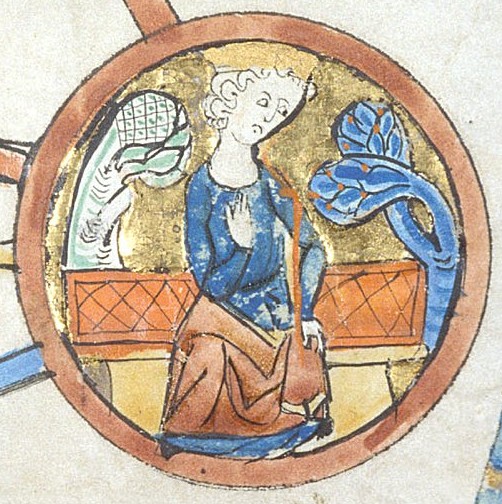
Henry I ( – 1 December 1135), also known as Henry Beauclerc, was King of England from 1100 to his death in 1135. He was the fourth son of William the Conqueror and was educated in Latin and the liberal arts. On William's death in 1087, Henry's elder brothers Robert Curthose and William Rufus inherited Duchy of Normandy, Normandy and England, respectively; Henry was left landless. He purchased the County of Cotentin in western Normandy from Robert, but his brothers deposed him in 1091. He gradually rebuilt his power base in the Cotentin and allied himself with William Rufus against Robert. Present in England with his brother William when William died in a hunting accident, Henry seized the English throne, promising at his coronation to correct many of William's less popular policies. He married Matilda of Scotland and they had two surviving children, Empress Matilda and William Adelin; he also had many illegitimate children by his numerous mistresses. Robert, who invaded from ... [...More Info...] [...Related Items...] OR: [Wikipedia] [Google] [Baidu] |
Hundred (county Division)
A hundred is an administrative division that is geographically part of a larger region. It was formerly used in England, Wales, some parts of the United States, Denmark, Sweden, Finland, Norway, and in Cumberland County in the British Colony of New South Wales. It is still used in other places, including in Australia (in South Australia and the Northern Territory). Other terms for the hundred in English and other languages include '' wapentake'', ''herred'' (Danish and Bokmål Norwegian), ''herad'' ( Nynorsk Norwegian), ''härad'' or ''hundare'' (Swedish), ''Harde'' (German), ''hiird'' ( North Frisian), ''kihlakunta'' (Finnish), and '' cantref'' (Welsh). In Ireland, a similar subdivision of counties is referred to as a barony, and a hundred is a subdivision of a particularly large townland (most townlands are not divided into hundreds). Etymology The origin of the division of counties into hundreds is described by the ''Oxford English Dictionary'' (''OED'') as "exceedingly ... [...More Info...] [...Related Items...] OR: [Wikipedia] [Google] [Baidu] |
Domesday Book
Domesday Book ( ; the Middle English spelling of "Doomsday Book") is a manuscript record of the Great Survey of much of England and parts of Wales completed in 1086 at the behest of William the Conqueror. The manuscript was originally known by the Latin name , meaning "Book of Winchester, Hampshire, Winchester", where it was originally kept in the royal treasury. The ''Anglo-Saxon Chronicle'' states that in 1085 the king sent his agents to survey every shire in England, to list his holdings and dues owed to him. Written in Medieval Latin, it was Scribal abbreviation, highly abbreviated and included some vernacular native terms without Latin equivalents. The survey's main purpose was to record the annual value of every piece of landed property to its lord, and the resources in land, labour force, and livestock from which the value derived. The name "Domesday Book" came into use in the 12th century. Richard FitzNeal wrote in the ( 1179) that the book was so called because its de ... [...More Info...] [...Related Items...] OR: [Wikipedia] [Google] [Baidu] |
Diddlebury
Diddlebury is a small village and large civil parish in Shropshire, England. It is situated in the Corvedale on the B4368 road about north east of Craven Arms. As of 2011, the population of the Civil Ward was 670. Public buildings St Peter's parish church has an unusual but distinctive herringbone internal stonework facing to the north wall of the nave. This feature dates back to the Anglo-Saxon times. There is a primary school in the village. The school takes in pupils from surrounding villages too, called Corvedale CofE. It currently has around 85 pupils. The village also has a village hall, built in 1951, near the church and the school. It is mainly used for clubs and local events. The village hall has since been renovated, with the working being completed around 2019. Civil parish The civil parish of Diddlebury is large, encompassing land on both sides of the River Corve. Between the River Corve and the Pye Brook, to the east of Diddlebury, lie the ringwork and other re ... [...More Info...] [...Related Items...] OR: [Wikipedia] [Google] [Baidu] |
Shropshire Council
Shropshire Council, known between 1980 and 2009 as Shropshire County Council and prior to 1980 as Salop County Council, is the Local government in England, local authority for the non-metropolitan county of Shropshire (district), Shropshire in the West Midlands (region), West Midlands region of England. Since 2009 it has been a Unitary authorities of England, unitary authority, being a non-metropolitan county, county council which also performs the functions of a non-metropolitan district, district council. The non-metropolitan county is smaller than the ceremonial county of Shropshire, which additionally includes Telford and Wrekin. In 2025, the Liberal Democrats (UK), Liberal Democrats took control of the council. History Elected county councils were established in 1889 under the Local Government Act 1888, taking over administrative functions that had previously been performed by unelected magistrates at the quarter sessions. The first elections were held in January 1889 and t ... [...More Info...] [...Related Items...] OR: [Wikipedia] [Google] [Baidu] |
Brewery
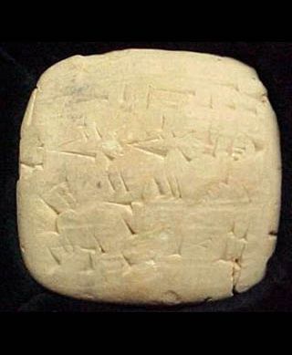
A brewery or brewing company is a business that makes and sells beer. The place at which beer is commercially made is either called a brewery or a beerhouse, where distinct sets of brewing equipment are called plant. The commercial brewing of beer has taken place since at least 2500 BC; in ancient Mesopotamia, brewers derived social sanction and divine protection from the goddess Ninkasi. Brewing was initially a cottage industry, with production taking place at home; by the ninth century, monasteries and farms would produce beer on a larger scale, selling the excess; and by the eleventh and twelfth centuries larger, dedicated breweries with eight to ten workers were being built. The diversity of size in breweries is matched by the diversity of processes, degrees of automation, and kinds of beer produced in breweries. A brewery is typically divided into distinct sections, with each section reserved for one part of the brewing process. History Beer may have been known in N ... [...More Info...] [...Related Items...] OR: [Wikipedia] [Google] [Baidu] |
Public House
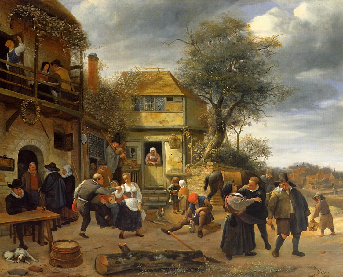
A pub (short for public house) is in several countries a drinking establishment licensed to serve alcoholic drinks for consumption Licensing laws of the United Kingdom#On-licence, on the premises. The term first appeared in England in the late 17th century, to differentiate private houses from those open to the public as alehouses, taverns and inns. Today, there is no strict definition, but the Campaign for Real Ale (CAMRA) states a pub has four characteristics: # is open to the public without membership or residency # serves draught beer or cider without requiring food be consumed # has at least one indoor area not laid out for meals # allows drinks to be bought at a bar (i.e., not only table service) The history of pubs can be traced to taverns in Roman Britain, and through Anglo-Saxon alehouses, but it was not until the early 19th century that pubs, as they are today, first began to appear. The model also became popular in countries and regions of British influence, whe ... [...More Info...] [...Related Items...] OR: [Wikipedia] [Google] [Baidu] |


