|
Conrad Weiser
Conrad Weiser (November 2, 1696 – July 13, 1760), born Johann Conrad Weiser, Jr., was a Pennsylvania Dutch ( German) pioneer who served as an interpreter and diplomat between the Pennsylvania Colony and Native American nations. Primarily a farmer, he also worked as a tanner, and later served as a soldier and judge. He lived part of the time for six years at Ephrata Cloister, a Protestant monastic community in Lancaster County. As an emissary in councils between Native Americans and the colonies, especially Pennsylvania, during the late 18th century's tensions of the French and Indian War (Seven Years' War), he contributed to alliances that supported the British effort. Early years Conrad Weiser was born in 1696 in the small village of Affstätt in Herrenberg, in the Duchy of Württemberg (now in Baden-Württemberg, Germany), where his father (Johann Conrad Weiser Sr.) was stationed as a member of the Württemberg Blue Dragoons. Soon after Conrad's birth, his father ... [...More Info...] [...Related Items...] OR: [Wikipedia] [Google] [Baidu] |
Herrenberg
Herrenberg ( Swabian: ''Härrabärg'' or ''Haerebärg'') is a town in the middle of Baden-Württemberg, about 30 km south of Stuttgart and 20 km from Tübingen. After Sindelfingen, Böblingen, and Leonberg, it is the fourth largest town in the district of Böblingen. Location Herrenberg is situated on the western edge of the Schönbuch forest and is a central town within the Gäu region. The Stiftskirche, which houses the Glockenmuseum (bell museum), is a tourist attraction in the main square. The following towns and municipalities border Herrenberg. They are listed in clockwise direction beginning in the north: Deckenpfronn, Gärtringen, Nufringen, Hildrizhausen and Altdorf (all Böblingen district), Ammerbuch (Tübingen district), Gäufelden and Jettingen (both Böblingen district) as well as Wildberg (Calw district). History The once small community Herrenberg was formed out of the hamlets "Mühlhausen" and "Raistingen", who were combinated in the 13th century, ... [...More Info...] [...Related Items...] OR: [Wikipedia] [Google] [Baidu] |
Dragoon
Dragoons were originally a class of mounted infantry, who used horses for mobility, but dismounted to fight on foot. From the early 17th century onward, dragoons were increasingly also employed as conventional cavalry and trained for combat with swords and firearms from horseback. While their use goes back to the late 16th century, dragoon regiments were established in most European armies during the 17th and early 18th centuries; they provided greater mobility than regular infantry but were far less expensive than cavalry. The name reputedly derives from a type of firearm, called a ''dragon'', which was a handgun version of a blunderbuss, carried by dragoons of the French Army. The title has been retained in modern times by a number of armoured or ceremonial mounted regiments. Origins and name The establishment of dragoons evolved from the practice of sometimes transporting infantry by horse when speed of movement was needed. In 1552, Alexander Farnese, Duke of Parma mo ... [...More Info...] [...Related Items...] OR: [Wikipedia] [Google] [Baidu] |
Shikellamy
Shikellamy (1680 - December 6, 1748), also spelled Shickellamy and also known as Swatana, was an Oneida chief and overseer for the Iroquois confederacy. In his position as chief and overseer, Shikellamy served as a supervisor for the Six Nations, overseeing the Shawnee and Lenape tribes in central Pennsylvania along the Susquehanna River and protecting the southern border of the Iroquois Confederacy. While his birth date is not known, his first recorded historical appearance was in Philadelphia in 1728. In 1728 he was living in a Shawnee village in Pennsylvania near modern Milton, and moved in 1742 to the village of Shamokin, modern day Sunbury, at the confluence of the West and North Branches of the Susquehanna. Shikellamy was an important figure in the early history of the Province of Pennsylvania and served as a go-between for the colonial government in Philadelphia and the Iroquois chiefs in Onondaga. He welcomed Conrad Weiser to Shamokin and served as Weiser's guide on his j ... [...More Info...] [...Related Items...] OR: [Wikipedia] [Google] [Baidu] |
Reading, Pennsylvania
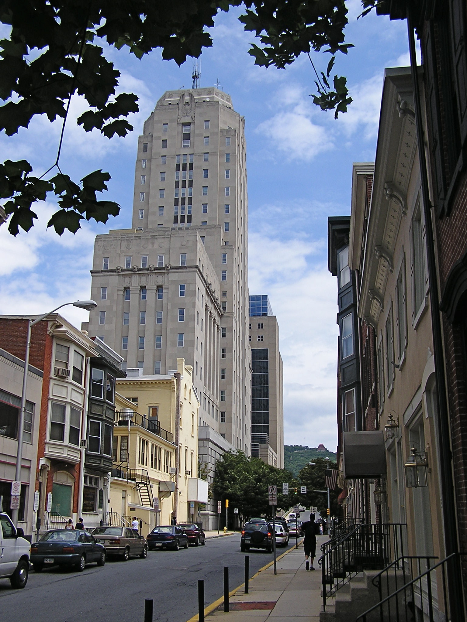
Reading ( ; Pennsylvania Dutch: ''Reddin'') is a city in and the county seat of Berks County, Pennsylvania, United States. The city had a population of 95,112 as of the 2020 census and is the fourth-largest city in Pennsylvania after Philadelphia, Pittsburgh, and Allentown. Reading is located in the southeastern part of the state and is the principal city of the Greater Reading Area, which had 420,152 residents as of 2020. Reading is part of the Delaware Valley, also known as the Philadelphia metropolitan area, a region that also includes Philadelphia, Upper Darby Township, Pennsylvania, Camden, and other suburban Philadelphia cities and regions. With a 2020 population of 6,228,601, the Delaware Valley is the seventh largest metropolitan region in the nation. Reading's name was drawn from the now-defunct Reading Company, widely known as the Reading Railroad and since acquired by Conrail, that played a vital role in transporting anthracite coal from the Pennsylvania' ... [...More Info...] [...Related Items...] OR: [Wikipedia] [Google] [Baidu] |
Susquehanna River
The Susquehanna River (; Lenape: Siskëwahane) is a major river located in the Mid-Atlantic region of the United States, overlapping between the lower Northeast and the Upland South. At long, it is the longest river on the East Coast of the United States. By watershed area, it is the 16th-largest river in the United States,Susquehanna River Trail Pennsylvania Fish and Boat Commission, accessed March 25, 2010.Susquehanna River , Green Works Radio, accessed March 25, 2010. and also the longest river in ... [...More Info...] [...Related Items...] OR: [Wikipedia] [Google] [Baidu] |
Iroquois
The Iroquois ( or ), officially the Haudenosaunee ( meaning "people of the longhouse"), are an Iroquoian-speaking confederacy of First Nations peoples in northeast North America/ Turtle Island. They were known during the colonial years to the French as the Iroquois League, and later as the Iroquois Confederacy. The English called them the Five Nations, comprising the Mohawk, Oneida, Onondaga, Cayuga, and Seneca (listed geographically from east to west). After 1722, the Iroquoian-speaking Tuscarora people from the southeast were accepted into the confederacy, which became known as the Six Nations. The Confederacy came about as a result of the Great Law of Peace, said to have been composed by Deganawidah the Great Peacemaker, Hiawatha, and Jigonsaseh the Mother of Nations. For nearly 200 years, the Six Nations/Haudenosaunee Confederacy were a powerful factor in North American colonial policy, with some scholars arguing for the concept of the Middle Ground, in that Eu ... [...More Info...] [...Related Items...] OR: [Wikipedia] [Google] [Baidu] |
Mohawk Language
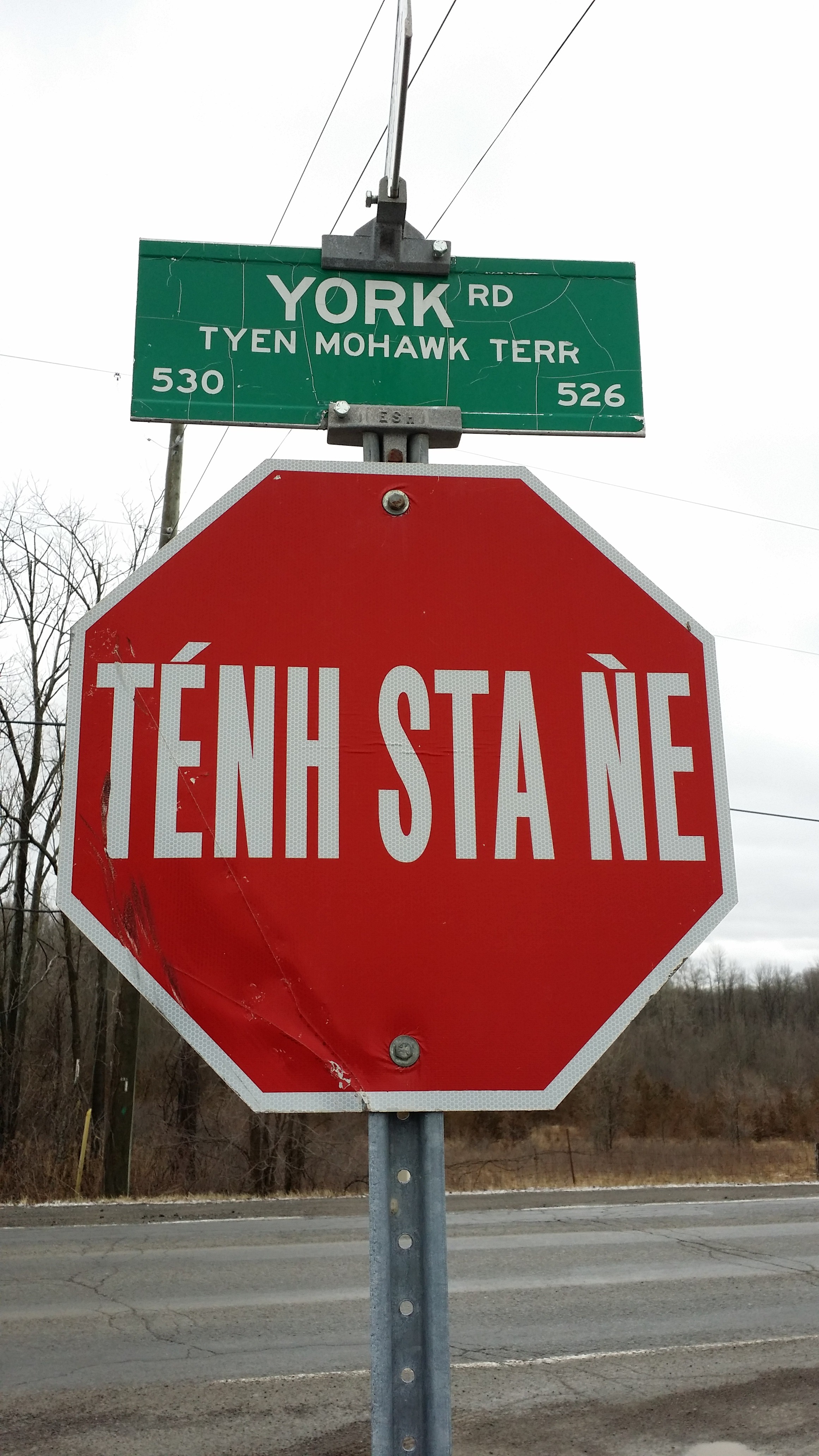
Mohawk (; ''Kanienʼkéha'', " anguageof the Flint Place") is an Iroquoian language currently spoken by around 3,500 people of the Mohawk nation, located primarily in current or former Haudenosaunee territories, predominately Canada (southern Ontario and Quebec), and to a lesser extent in the United States (western and northern New York). The word "Mohawk" is an exonym. In the Mohawk language, the people say that they are from ''Kanien:ke'' ('Mohawk Country' or "Flint Stone Place") and that they are ''Kanienʼkehá꞉ka'' "People of the Flint Stone Place" or "People of the Flint Nation". The Mohawks were extremely wealthy traders, as other nations in their confederacy needed their flint for tool-making. Their Algonquian-speaking neighbors (and competitors), the People of ''Muh-heck Heek Ing'' ("food-area place"), a people called by the Dutch " Mohicans" or "Mahicans", called the People of Ka-nee-en Ka "Maw Unk Lin" or ''Bear People''. The Dutch heard and wrote that as "Mohaw ... [...More Info...] [...Related Items...] OR: [Wikipedia] [Google] [Baidu] |
Mohawk Nation
The Mohawk people ( moh, Kanienʼkehá꞉ka) are the most easterly section of the Haudenosaunee, or Iroquois Confederacy. They are an Iroquoian-speaking Indigenous people of North America, with communities in southeastern Canada and northern New York State, primarily around Lake Ontario and the St. Lawrence River. As one of the five original members of the Iroquois League, the Kanienʼkehá꞉ka are known as the Keepers of the Eastern Door – the traditional guardians of the Iroquois Confederation against invasions from the east. Historically, the Kanienʼkehá꞉ka people were originally based in the valley of the Mohawk River in present-day upstate New York, west of the Hudson River. Their territory ranged north to the St. Lawrence River, southern Quebec and eastern Ontario; south to greater New Jersey and into Pennsylvania; eastward to the Green Mountains of Vermont; and westward to the border with the Iroquoian Oneida Nation's traditional homeland territory. Kanien� ... [...More Info...] [...Related Items...] OR: [Wikipedia] [Google] [Baidu] |
Mohawk River
The Mohawk River is a U.S. Geological Survey. National Hydrography Dataset high-resolution flowline dataThe National Map accessed October 3, 2011 river in the U.S. state of New York. It is the largest tributary of the Hudson River. The Mohawk flows into the Hudson in Cohoes, New York, a few miles north of the city of Albany.Mohawk River , The Columbia Gazetteer of North America The river is named for the Mohawk Nation of the Iroquois Confederacy. It is a major waterway in north-central New York. The largest tributary, the Schoharie Creek, accounts for over one quarter (26. ... [...More Info...] [...Related Items...] OR: [Wikipedia] [Google] [Baidu] |
Schoharie Valley
The Schoharie Valley is a corridor that runs through Schoharie County from Schoharie, New York to Gilboa, New York. Geography The Schoharie Valley is made up of plains surrounding the Schoharie Creek. Within the Schoharie Valley are the towns of Middleburgh, Schoharie, Fulton, and the Hamlet of Breakabeen. The Valley is cut in the middle by NYS Route 30. History The Schoharie Valley was colonized by the British in the early eighteenth century. However, the majority of the settlers were Dutch or Germans. The Schoharie Valley was famous for its role in the American Revolution. Battles in the Valley included those in Breakabeen, at the Old Stone Fort, and the Battle of the Lower Fort. The Valley was ransacked by Tories and loyal Indian forces during the latter portion of the war. The Schoharie Valley's main fortress, the Old Stone Fort was used as an armory during the American Civil War. The valley was once served by the Schoharie Valley Railroad and the Middleburgh-Sch ... [...More Info...] [...Related Items...] OR: [Wikipedia] [Google] [Baidu] |
Mohawk Valley
The Mohawk Valley region of the U.S. state of New York is the area surrounding the Mohawk River, sandwiched between the Adirondack Mountains and Catskill Mountains, northwest of the Capital District. As of the 2010 United States Census, the region's counties have a combined population of 622,133 people. In addition to the Mohawk River valley, the region contains portions of other major watersheds such as the Susquehanna River. The region is a suburban and rural area surrounding the industrialized cities of Schenectady, Utica and Rome, along with other smaller commercial centers. The area is an important agricultural center and encompasses the heavily forested wilderness areas just to the north that are part of New York's Adirondack Park. The Mohawk Valley is a natural passageway connecting the Atlantic Ocean, by way of the Hudson Valley, with the interior of North America. Native American Nations of the Iroquois Confederacy lived in the region. In the 17th centu ... [...More Info...] [...Related Items...] OR: [Wikipedia] [Google] [Baidu] |
Hudson River
The Hudson River is a river that flows from north to south primarily through eastern New York. It originates in the Adirondack Mountains of Upstate New York and flows southward through the Hudson Valley to the New York Harbor between New York City and Jersey City, eventually draining into the Atlantic Ocean at Lower New York Bay. The river serves as a political boundary between the states of New Jersey and New York at its southern end. Farther north, it marks local boundaries between several New York counties. The lower half of the river is a tidal estuary, deeper than the body of water into which it flows, occupying the Hudson Fjord, an inlet which formed during the most recent period of North American glaciation, estimated at 26,000 to 13,300 years ago. Even as far north as the city of Troy, the flow of the river changes direction with the tides. The Hudson River runs through the Munsee, Lenape, Mohican, Mohawk, and Haudenosaunee homelands. Prior to European ... [...More Info...] [...Related Items...] OR: [Wikipedia] [Google] [Baidu] |


