|
Bindi Bindi, Western Australia
Bindi Bindi is a small town located between Moora and Wongan Hills in the Wheatbelt region of Western Australia. It has a population of 59 as of the 2021 census. The town originated as a Western Australian Government Railways siding and was gazetted in 1947. The name is believed to be Aboriginal in origin, and is thought to be a word for a sharp stick used to fasten a coat. As is usual in Aboriginal languages, doubling the word means that there are many of the same objects so it is presumed that there were many coat fastening sticks to be found in this area. Other sources indicate that the word 'bindi' means little girl in an (unknown) Aboriginal dialect, whilst the more popular translation of the term in recent times indicates that 'bindi bindi' is the Noongar word for 'butterfly'. The main industry in town is wheat farming with the town being a Cooperative Bulk Handling receival site. See also * List of reduplicated Australian place names These names are example ... [...More Info...] [...Related Items...] OR: [Wikipedia] [Google] [Baidu] |
Shire Of Moora
The Shire of Moora is a local government area in the northern Wheatbelt region of Western Australia, and generally lies between the Brand Highway and Great Northern Highway about north of Perth, the state capital. The Shire covers an area of and its seat of government is the town of Moora. History The Moora Road District was gazetted on 11 December 1908, created from part of the Victoria Plains Road District. The first election for the Moora Road Board was on 12 February 1909. Henry Lefroy was elected Chairman at the first meeting of the Road Board on 19 March 1909. Lefroy had previously been elected Chairman of the Victoria Plains Road Board in 1876. On 1 July 1961, Moora became a Shire under the ''Local Government Act 1960'', which reformed all remaining road districts into shires. Wards The shire is undivided and the nine councillors represent the entire shire. Until 20 October 2007, the shire was divided into wards, most with 1 councillor each: * Moora Town Ward (4 ... [...More Info...] [...Related Items...] OR: [Wikipedia] [Google] [Baidu] |
Electoral District Of Moore
Moore was an Electoral districts of Western Australia, electoral district of the Western Australian Legislative Assembly, Legislative Assembly in the Australian state of Western Australia. Moore has had three incarnations as an electorate. In its first incarnation, Moore was one of the original 30 seats contested at the 1890 Western Australian colonial election, 1890 colonial election. Its latest incarnation it has existed continuously since 1950. In that time, the seat has been variously held by the two conservative forces in Western Australian politics: the Liberal Party of Australia (Western Australian Division), Liberal Party and the National Party of Australia (WA), National Party. The seat has never been won by the Australian Labor Party (Western Australian Branch), Labor Party. Geography Moore is a coastal district, covering an expanse of rural territory to the north of Perth and surrounding but not including the regional city of Geraldton, Western Australia, Geraldton. ... [...More Info...] [...Related Items...] OR: [Wikipedia] [Google] [Baidu] |
Division Of Durack
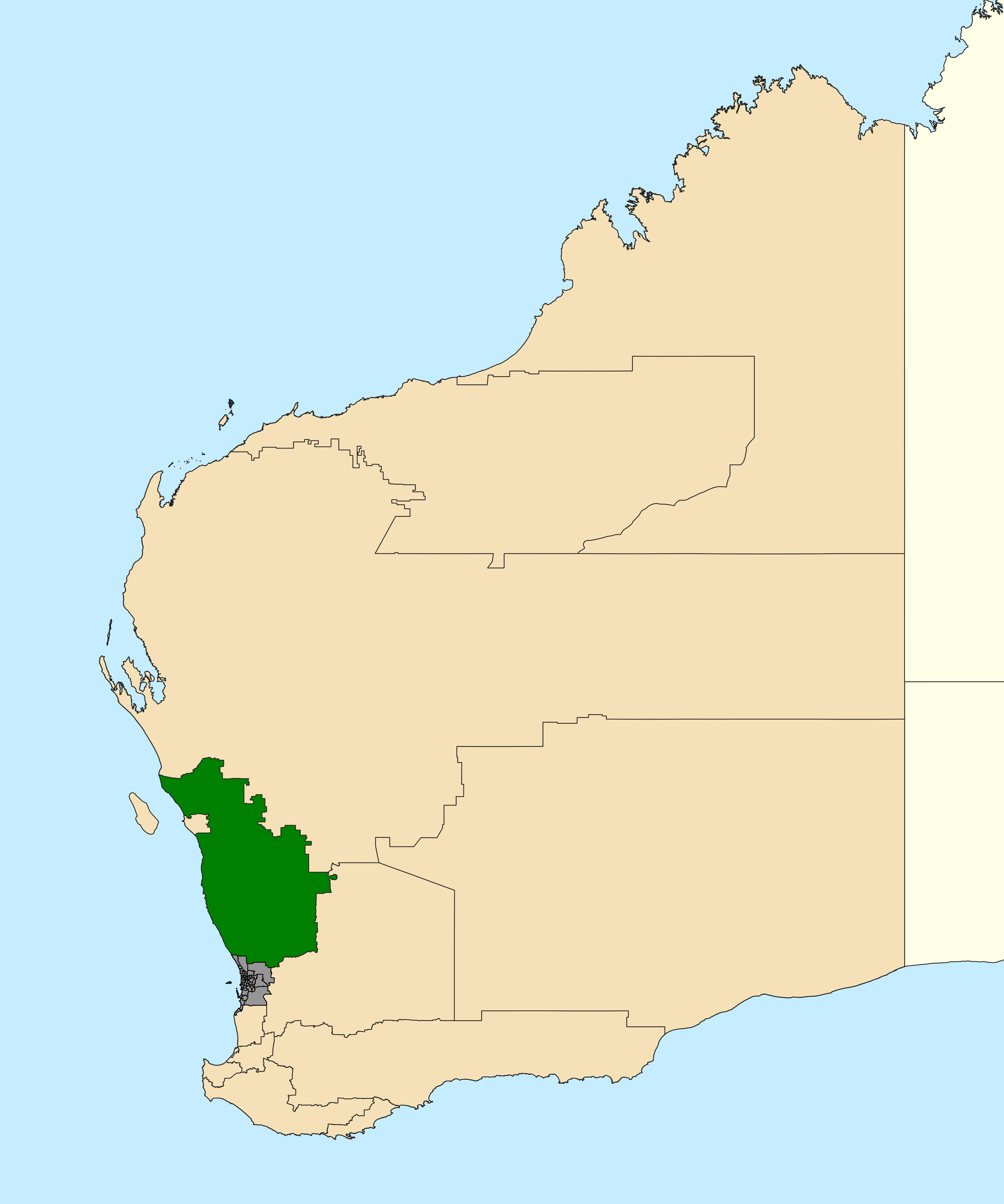
The Division of Durack () is an Electorates of the Australian House of Representatives, Australian electoral division in the States and territories of Australia, state of Western Australia. It is the largest electorate in Australia by land area, at 1,410,947 (544,769.7 sq mi). It stretches all the way along the coast from Guilderton, Western Australia, Guilderton to the Northern Territory border. Since 2013 Australian federal election, 2013, its Australian House of Representatives, MP has been Melissa Price (politician), Melissa Price of the Liberal Party of Australia, Liberal Party. History The Division is named after the pioneering Durack family, whose lives are recounted in Mary Durack, Dame Mary Durack's books of history. Created to replace parts of the divisions of Division of Kalgoorlie, Kalgoorlie (which was abolished) and Division of O'Connor, O'Connor, it elected its first member at the 2010 Australian federal election, 2010 election. It was created as a comfortably ... [...More Info...] [...Related Items...] OR: [Wikipedia] [Google] [Baidu] |
Perth
Perth () is the list of Australian capital cities, capital city of Western Australia. It is the list of cities in Australia by population, fourth-most-populous city in Australia, with a population of over 2.3 million within Greater Perth . The Extremes on Earth#Other places considered the most remote, world's most isolated major city by certain criteria, Perth is part of the South West Land Division of Western Australia, with most of Perth metropolitan region, Perth's metropolitan area on the Swan Coastal Plain between the Indian Ocean and the Darling Scarp. The city has expanded outward from the original British settlements on the Swan River (Western Australia), Swan River, upon which its #Central business district, central business district and port of Fremantle are situated. Perth was founded by James Stirling (Royal Navy officer), Captain James Stirling in 1829 as the administrative centre of the Swan River Colony. The city is situated on the traditional lands of the Whadju ... [...More Info...] [...Related Items...] OR: [Wikipedia] [Google] [Baidu] |
Moora, Western Australia
Moora is a townsite located 177 km north of Perth in the Wheatbelt region of Western Australia. At the , Moora had a population of 1,591. History Moora was one of the original stations on the Midland railway line to Walkaway, and the townsite was gazetted in 1895. Natural disasters The town was left underwater in 1932 when heavy rainfall inundated the town, causing severe flooding. The town was left isolated as both rail lines and roads had portions washed away. Over half the town was submerged to a depth of , and once the waters receded, was left under a thick coating of mud. Crops and stock in the surrounding area were also lost. In March 1999, the town suffered a major flood when ex-Tropical Cyclone Elaine caused the Moore River to break its banks, with 1000 people evacuated. Just as the community was recovering, another major rainfall event on the already saturated land in May of the same year caused yet another flood in the town. Economy The town is the largest ... [...More Info...] [...Related Items...] OR: [Wikipedia] [Google] [Baidu] |
Wongan Hills, Western Australia
Wongan Hills is a town in the Shire of Wongan-Ballidu, in the Wheatbelt region of Western Australia. The town is approximately 182 km north of the state capital Perth, at an altitude of 286 metres. The town is named for a nearby range of hills that are found to the north-west of the town, also named Wongan Hills, which was first recorded in 1836 by Surveyor General of Western Australia John Septimus Roe. History The area was settled by the 1900s, and in 1911 the town was gazetted and named after the range. "Wongan" is derived from the Indigenous Australian name "wangan-katta", "wanka" and "woongan". "Katta" is known to mean "hill", but the meaning of "wongan" is uncertain. It may be related to " kwongan", an indigenous word for sandplain, or "whispering", in which case "wongan katta" would mean "whispering hills" (katta is a word for hill). In the early 1900s, poet Lilian Wooster Greaves lived with her family at Wongan Hills. Her book of poetry includes a number of ... [...More Info...] [...Related Items...] OR: [Wikipedia] [Google] [Baidu] |
Wheatbelt (Western Australia)
The Wheatbelt is one of nine regions of Western Australia defined as administrative areas for the state's regional development, and a vernacular term for the area converted to agriculture during colonisation. It partially surrounds the Perth metropolitan area, extending north from Perth to the Mid West region, and east to the Goldfields–Esperance region. It is bordered to the south by the South West and Great Southern regions, and to the west by the Indian Ocean, the Perth metropolitan area, and the Peel region. Altogether, it has an area of (including islands). The region has 42 local government authorities, with an estimated population of 75,000 residents. The Wheatbelt accounts for approximately three per cent of Western Australia's population. Ecosystems The area, once a diverse ecosystem, reduced when clearing began in the 1890s with the removal of plant species such as eucalypt woodlands and mallee, is now home to around 11% of Australia's critically end ... [...More Info...] [...Related Items...] OR: [Wikipedia] [Google] [Baidu] |
Western Australia
Western Australia (WA) is the westernmost state of Australia. It is bounded by the Indian Ocean to the north and west, the Southern Ocean to the south, the Northern Territory to the north-east, and South Australia to the south-east. Western Australia is Australia's largest state, with a land area of , and is also the List of country subdivisions by area, second-largest subdivision of any country on Earth. Western Australia has a diverse range of climates, including tropical conditions in the Kimberley (Western Australia), Kimberley, deserts in the interior (including the Great Sandy Desert, Little Sandy Desert, Gibson Desert, and Great Victoria Desert) and a Mediterranean climate on the south-west and southern coastal areas. the state has 2.965 million inhabitants—10.9 percent of the national total. Over 90 percent of the state's population live in the South-West Land Division, south-west corner and around 80 percent live in the state capital Perth, leaving the remainder ... [...More Info...] [...Related Items...] OR: [Wikipedia] [Google] [Baidu] |
2021 Australian Census
The 2021 Australian census, simply called the 2021 Census, was the eighteenth national Census of Population and Housing in Australia. The 2021 Census took place on 10 August 2021, and was conducted by the Australian Bureau of Statistics (ABS). It had a response rate of 96.1%, up from the 95.1% at the 2016 census. The total population of the Commonwealth of Australia was counted as 25,422,788, an increase of 8.6 per cent or 2,020,896 people over the previous 2016 census. Results from the 2021 census were released to the public on 28 June 2022 from the Australian Bureau of Statistics website. A small amount of additional 2021 census data was released in October 2022 and in 2023. Australia's next census is scheduled to take place in 2026. The census was undertaken during the COVID-19 pandemic. It therefore provided a clear snapshot of how the pandemic impacted Australian society. Overview In Australia, completing the census is compulsory for all people in Australia on census ... [...More Info...] [...Related Items...] OR: [Wikipedia] [Google] [Baidu] |
Western Australian Government Railways
Western Australian Government Railways (WAGR) was the state owned operator of railways in the state of Western Australia between October 1890 and June 2003. Owned by the state government, it was renamed a number of times to reflect extra responsibility for tram and ferry operations that it assumed and later relinquished. Westrail was the trading name of the WAGR from September 1975 until December 2000, when the WAGR's freight division and the Westrail brand were privatised. Its remaining passenger operations were transferred to the Public Transport Authority in July 2003. History of operations The WAGR had its origins in 1879, when the Department of Works & Railways was established. The first government railway line in Western Australia opened on 26 July 1879, between Geraldton and Northampton. It was followed by the Eastern Railway from Fremantle to Guildford via Perth on 1 March 1881. The WAGR adopted the narrow gauge of to reduce construction costs. Over the next few dec ... [...More Info...] [...Related Items...] OR: [Wikipedia] [Google] [Baidu] |
Aboriginal Australians
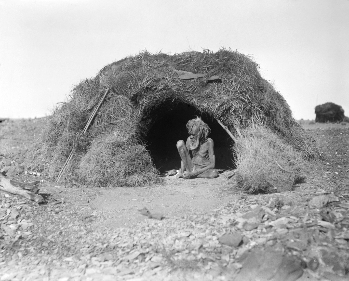
Aboriginal Australians are the various indigenous peoples of the Mainland Australia, Australian mainland and many of its islands, excluding the ethnically distinct people of the Torres Strait Islands. Humans first migrated to Australia (continent), Australia 50,000 to 65,000 years ago, and over time formed as many as 500 List of Aboriginal Australian group names, language-based groups. In the past, Aboriginal people lived over large sections of the continental shelf. They were isolated on many of the smaller offshore islands and Tasmania when the land was inundated at the start of the Holocene Interglacial, inter-glacial period, about 11,700 years ago. Despite this, Aboriginal people maintained extensive networks within the continent and certain groups maintained relationships with Torres Strait Islanders and the Makassar people, Makassar people of modern-day Indonesia. Over the millennia, Aboriginal people developed complex trade networks, inter-cultural relationships, law ... [...More Info...] [...Related Items...] OR: [Wikipedia] [Google] [Baidu] |
Wheat
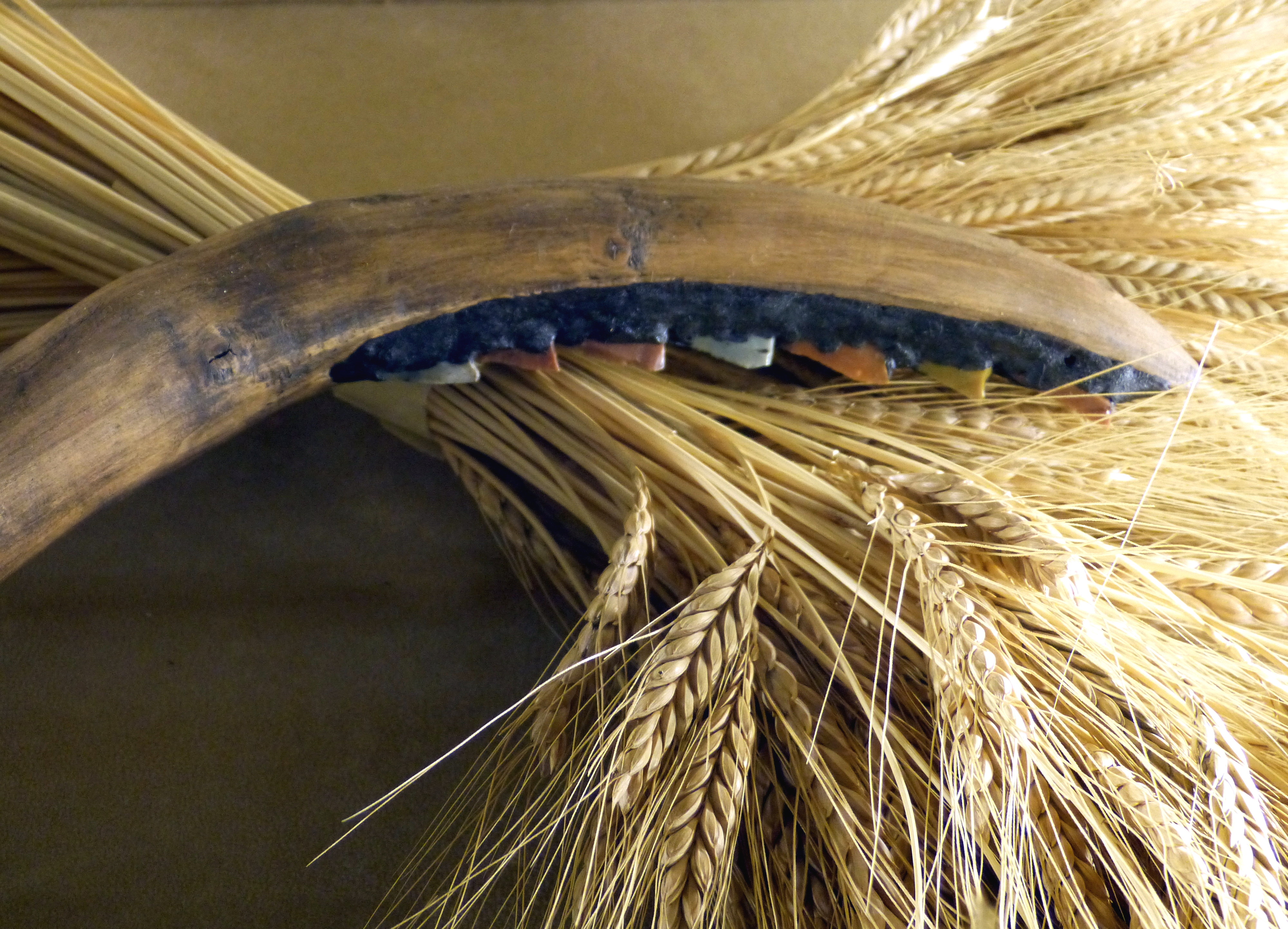
Wheat is a group of wild and crop domestication, domesticated Poaceae, grasses of the genus ''Triticum'' (). They are Agriculture, cultivated for their cereal grains, which are staple foods around the world. Well-known Taxonomy of wheat, wheat species and hybrids include the most widely grown common wheat (''T. aestivum''), spelt, durum, emmer, einkorn, and Khorasan wheat, Khorasan or Kamut. The archaeological record suggests that wheat was first cultivated in the regions of the Fertile Crescent around 9600 BC. Wheat is grown on a larger area of land than any other food crop ( in 2021). World trade in wheat is greater than that of all other crops combined. In 2021, world wheat production was , making it the second most-produced cereal after maize (known as corn in North America and Australia; wheat is often called corn in countries including Britain). Since 1960, world production of wheat and other grain crops has tripled and is expected to grow further through the middle of ... [...More Info...] [...Related Items...] OR: [Wikipedia] [Google] [Baidu] |


