Outback Nunataks on:
[Wikipedia]
[Google]
[Amazon]

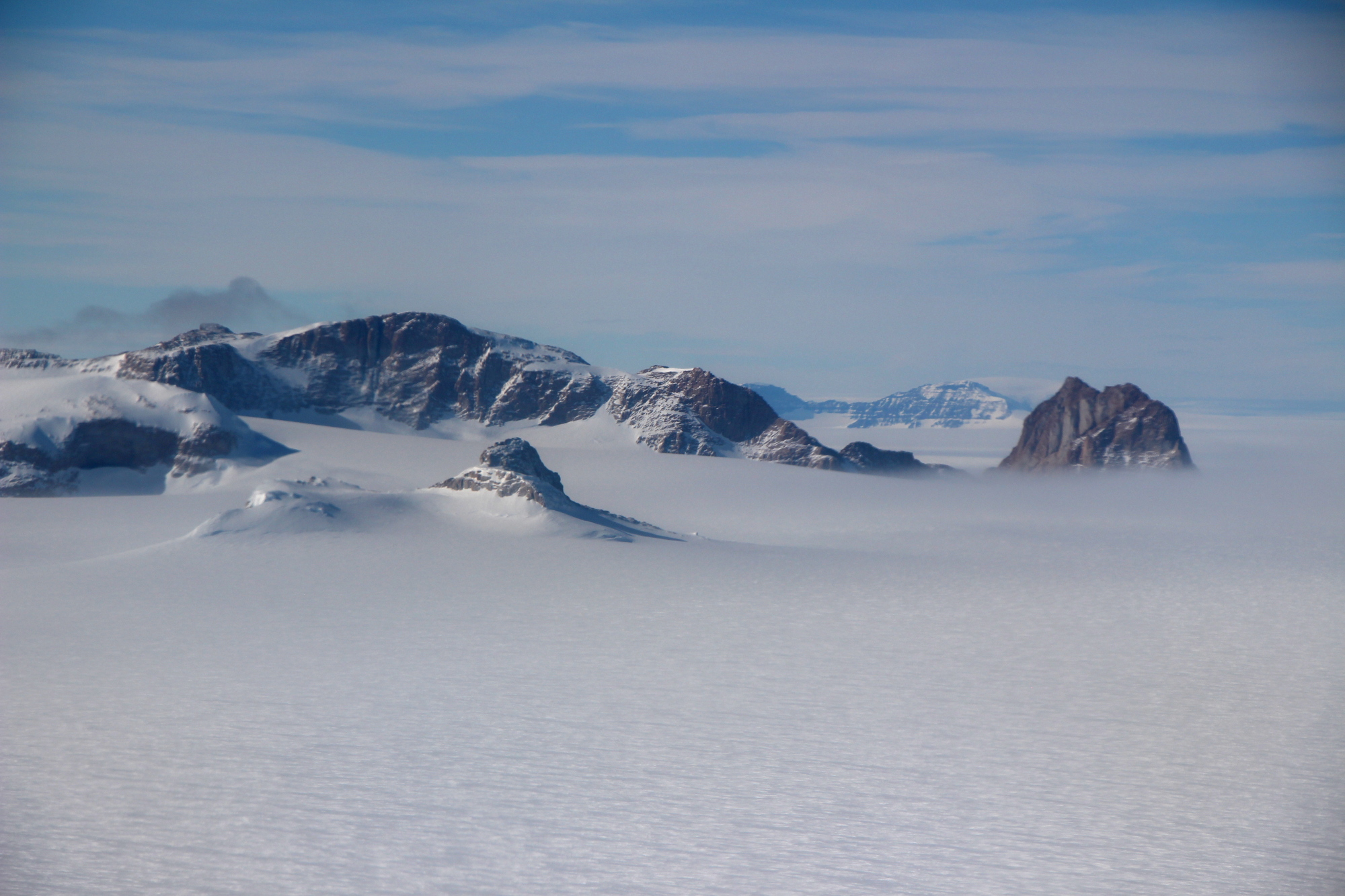
 Outback Nunataks () is a series of bare rock

 Outback Nunataks () is a series of bare rock
 nunatak
A nunatak (from Inuit ''nunataq'') is the summit or ridge of a mountain that protrudes from an ice field or glacier that otherwise covers most of the mountain or ridge. They are also called glacial islands. Examples are natural pyramidal peaks. ...
s and mountains which are distributed over an area about long by wide. The group lies south of Emlen Peaks of the Usarp Mountains
The Usarp Mountains are a major Antarctic mountain range, lying west of the Rennick Glacier and trending north to south for about . The feature is bounded to the north by Pryor Glacier and the Wilson Hills.
These mountains were discovered and ...
and west of Monument Nunataks
The Monument Nunataks () are a group of nunataks in Antarctica that have numerous pinnacles and odd-shaped projections resembling monuments, situated at the northern extremity of the Mesa Range, north of Sculpture Mountain in the upper part of Re ...
and upper Rennick Glacier
Rennick Glacier is broad glacier, nearly long, which is one of the largest in Antarctica. It rises on the polar plateau westward of Mesa Range and is wide, narrowing to near the coast. It takes its name from Rennick Bay where the glacier reaches ...
, adjacent to the featureless interior plateau. They were discovered by the U.S. Victoria Land Traverse party, 1959–60, and mapped by United States Geological Survey
The United States Geological Survey (USGS), formerly simply known as the Geological Survey, is a scientific agency of the United States government. The scientists of the USGS study the landscape of the United States, its natural resources, ...
(USGS) from surveys and U.S. Navy
The United States Navy (USN) is the maritime service branch of the United States Armed Forces and one of the eight uniformed services of the United States. It is the largest and most powerful navy in the world, with the estimated tonnage of ...
air photos, 1959–64. They were so named by Advisory Committee on Antarctic Names
The Advisory Committee on Antarctic Names (ACAN or US-ACAN) is an advisory committee of the United States Board on Geographic Names responsible for recommending commemorative names for features in Antarctica.
History
The committee was established ...
(US-ACAN) for their remote position at the posterior side of the large mountain belt that extends from the Ross Sea
The Ross Sea is a deep bay of the Southern Ocean in Antarctica, between Victoria Land and Marie Byrd Land and within the Ross Embayment, and is the southernmost sea on Earth. It derives its name from the British explorer James Clark Ross who vi ...
to the interior ice plateau.
Features
Geographic features of the Outback Nunataks include: * Chan Rocks * Coleman Bluffs * De Camp Nunatak * Derbyshire Peak * Doe Nunatak * Doescher Nunatak * Fitzsimmons Nunataks * Frontier Mountain * Johannessen Nunataks * Miller Butte *Mount Blair
Mount Blair is a small but conspicuous mountain, high, standing northwest of Mount Weihaupt in the Outback Nunataks, Victoria Land, Antarctica
Antarctica () is Earth's southernmost and least-populated continent. Situated almost entire ...
* Mount Bower
* Mount Chadwick
* Mount Joern
* Mount Koons
* Mount Southard
Outback Nunataks () is a series of bare rock nunataks and mountains which are distributed over an area about long by wide. The group lies south of Emlen Peaks of the Usarp Mountains and west of Monument Nunataks and upper Rennick Glacier, adja ...
* Mount Spatz
* Mount Walton
* Mount Weihaupt
* Nims Peak
* Oona Cliff
* Roberts Butte
* Saunders Bluff
* The Office Girls
* Welcome Mountain
Welcome Mountain () is a very prominent mountain
A mountain is an elevated portion of the Earth's crust, generally with steep sides that show significant exposed bedrock. Although definitions vary, a mountain may differ from a plateau in havi ...
* Womochel Peaks
* Wu Nunatak
Nunataks of Victoria Land
Pennell Coast
{{VictoriaLand-geo-stub