|
Mount Blair
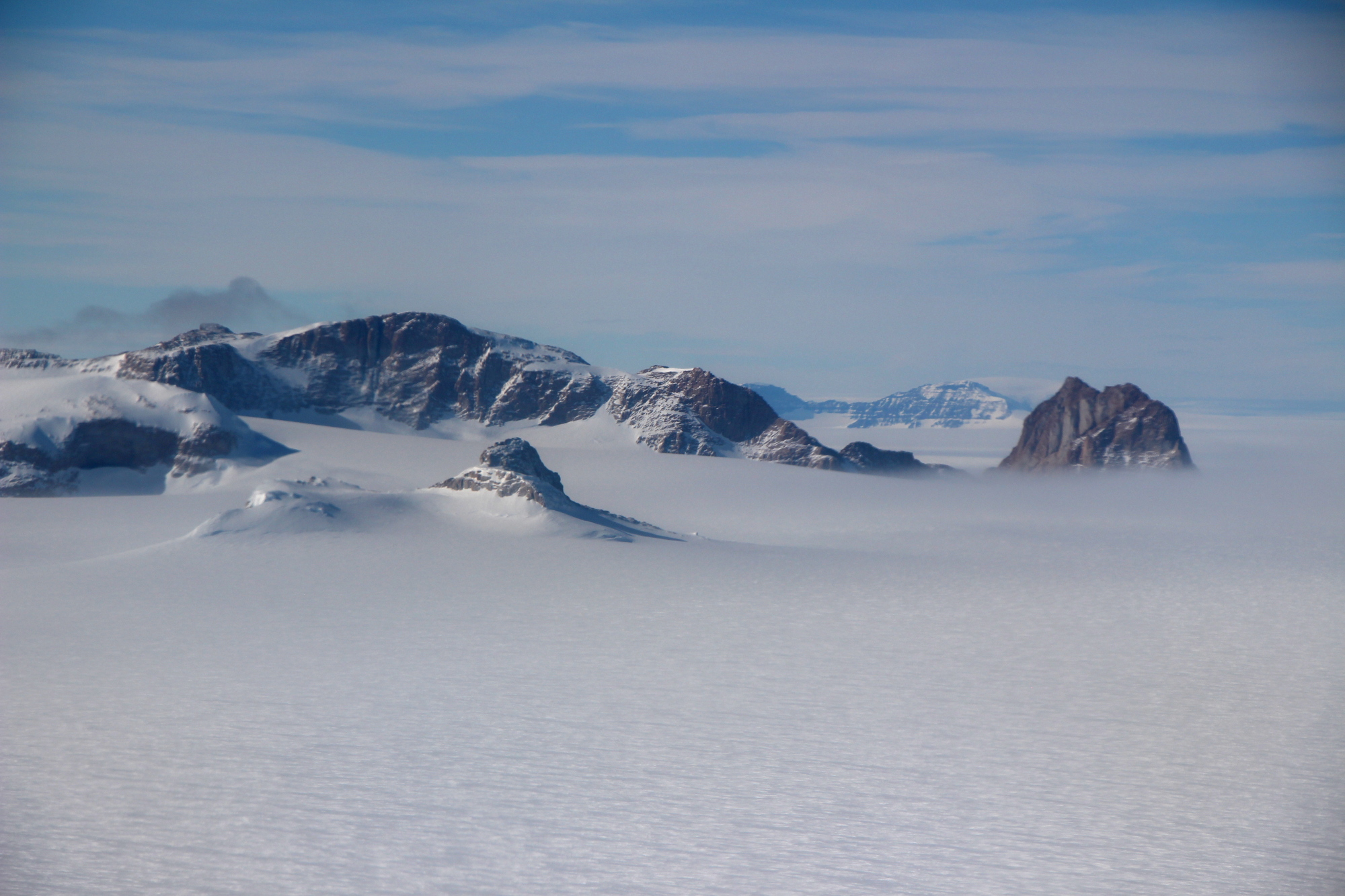
Mount Blair is a small but conspicuous mountain, high, standing northwest of Mount Weihaupt in the Outback Nunataks, Victoria Land, Antarctica Antarctica () is Earth's southernmost and least-populated continent. Situated almost entirely south of the Antarctic Circle and surrounded by the Southern Ocean, it contains the geographic South Pole. Antarctica is the fifth-largest contine .... The topographical feature was first mapped by the United States Geological Survey from surveys and from U.S. Navy air photos, 1959–64, and named by the Advisory Committee on Antarctic Names for Terence T. Blair, former biologist who contributed to his biological studies at McMurdo Station, Hut Point Peninsula, Ross Island, during the Summer of 1966–67. The mountain lies on the Pennell Coast, a portion of Antarctica lying between Cape Williams and Cape Adare. References Mountains of Victoria Land Pennell Coast {{VictoriaLand-geo-stub ... [...More Info...] [...Related Items...] OR: [Wikipedia] [Google] [Baidu] |
Mount Weihaupt
Outback Nunataks () is a series of bare rock nunataks and mountains which are distributed over an area about long by wide. The group lies south of Emlen Peaks of the Usarp Mountains and west of Monument Nunataks and upper Rennick Glacier, adjacent to the featureless interior plateau. They were discovered by the U.S. Victoria Land Traverse party, 1959–60, and mapped by United States Geological Survey (USGS) from surveys and U.S. Navy air photos, 1959–64. They were so named by Advisory Committee on Antarctic Names (US-ACAN) for their remote position at the posterior side of the large mountain belt that extends from the Ross Sea to the interior ice plateau. Features Geographic features of the Outback Nunataks include: * Chan Rocks * Coleman Bluffs * De Camp Nunatak * Derbyshire Peak * Doe Nunatak * Doescher Nunatak * Fitzsimmons Nunataks * Frontier Mountain * Johannessen Nunataks * Miller Butte * Mount Blair * Mount Bower * Mount Chadwick * Mount Joern * Mount Ko ... [...More Info...] [...Related Items...] OR: [Wikipedia] [Google] [Baidu] |
Outback Nunataks
Outback Nunataks () is a series of bare rock nunataks and mountains which are distributed over an area about long by wide. The group lies south of Emlen Peaks of the Usarp Mountains and west of Monument Nunataks and upper Rennick Glacier, adjacent to the featureless interior plateau. They were discovered by the U.S. Victoria Land Traverse party, 1959–60, and mapped by United States Geological Survey (USGS) from surveys and U.S. Navy air photos, 1959–64. They were so named by Advisory Committee on Antarctic Names (US-ACAN) for their remote position at the posterior side of the large mountain belt that extends from the Ross Sea to the interior ice plateau. Features Geographic features of the Outback Nunataks include: * Chan Rocks * Coleman Bluffs * De Camp Nunatak * Derbyshire Peak * Doe Nunatak * Doescher Nunatak * Fitzsimmons Nunataks * Frontier Mountain * Johannessen Nunataks * Miller Butte * Mount Blair * Mount Bower * Mount Chadwick * Mount Joern * Mount ... [...More Info...] [...Related Items...] OR: [Wikipedia] [Google] [Baidu] |
Victoria Land
Victoria Land is a region in eastern Antarctica which fronts the western side of the Ross Sea and the Ross Ice Shelf, extending southward from about 70°30'S to 78°00'S, and westward from the Ross Sea to the edge of the Antarctic Plateau. It was discovered by Captain James Clark Ross in January 1841 and named after Queen Victoria. The rocky promontory of Minna Bluff is often regarded as the southernmost point of Victoria Land, and separates the Scott Coast to the north from the Hillary Coast of the Ross Dependency to the south. The region includes ranges of the Transantarctic Mountains and the McMurdo Dry Valleys (the highest point being Mount Abbott in the Northern Foothills), and the flatlands known as the Labyrinth. The Mount Melbourne is an active volcano in Victoria Land. Early explorers of Victoria Land include James Clark Ross and Douglas Mawson. In 1979, scientists discovered a group of 309 meteorites in Antarctica, some of which were found near the Allan Hills in ... [...More Info...] [...Related Items...] OR: [Wikipedia] [Google] [Baidu] |
Antarctica
Antarctica () is Earth's southernmost and least-populated continent. Situated almost entirely south of the Antarctic Circle and surrounded by the Southern Ocean, it contains the geographic South Pole. Antarctica is the fifth-largest continent, being about 40% larger than Europe, and has an area of . Most of Antarctica is covered by the Antarctic ice sheet, with an average thickness of . Antarctica is, on average, the coldest, driest, and windiest of the continents, and it has the highest average elevation. It is mainly a polar desert, with annual precipitation of over along the coast and far less inland. About 70% of the world's freshwater reserves are frozen in Antarctica, which, if melted, would raise global sea levels by almost . Antarctica holds the record for the lowest measured temperature on Earth, . The coastal regions can reach temperatures over in summer. Native species of animals include mites, nematodes, penguins, seals and tardigrades. Where vegetation o ... [...More Info...] [...Related Items...] OR: [Wikipedia] [Google] [Baidu] |
United States Geological Survey
The United States Geological Survey (USGS), formerly simply known as the Geological Survey, is a scientific agency of the United States government. The scientists of the USGS study the landscape of the United States, its natural resources, and the natural hazards that threaten it. The organization's work spans the disciplines of biology, geography, geology, and hydrology. The USGS is a fact-finding research organization with no regulatory responsibility. The agency was founded on March 3, 1879. The USGS is a bureau of the United States Department of the Interior; it is that department's sole scientific agency. The USGS employs approximately 8,670 people and is headquartered in Reston, Virginia. The USGS also has major offices near Lakewood, Colorado, at the Denver Federal Center, and Menlo Park, California. The current motto of the USGS, in use since August 1997, is "science for a changing world". The agency's previous slogan, adopted on the occasion of its hundredt ... [...More Info...] [...Related Items...] OR: [Wikipedia] [Google] [Baidu] |
Advisory Committee On Antarctic Names
The Advisory Committee on Antarctic Names (ACAN or US-ACAN) is an advisory committee of the United States Board on Geographic Names responsible for recommending commemorative names for features in Antarctica. History The committee was established in 1943 as the Special Committee on Antarctic Names (SCAN). It became the Advisory Committee on Antarctic Names in 1947. Fred G. Alberts was Secretary of the Committee from 1949 to 1980. By 1959, a structured nomenclature was reached, allowing for further exploration, structured mapping of the region and a unique naming system. A 1990 ACAN gazeeter of Antarctica listed 16,000 names. Description The United States does not recognise territorial boundaries within Antarctica, so ACAN assigns names to features anywhere within the continent, in consultation with other national nomenclature bodies where appropriate, as defined by the Antarctic Treaty System. The research and staff support for the ACAN is provided by the United States Geologi ... [...More Info...] [...Related Items...] OR: [Wikipedia] [Google] [Baidu] |
Terence T
Publius Terentius Afer (; – ), better known in English as Terence (), was a Roman African playwright during the Roman Republic. His comedies were performed for the first time around 166–160 BC. Terentius Lucanus, a Roman senator, brought Terence to Rome as a slave, educated him and later on, impressed by his abilities, freed him. It is thought that Terence abruptly died, around the age of 25, likely in Greece or on his way back to Rome, due to shipwreck or disease. DEAD LINK He was supposedly on his way to explore and find inspiration for his comedies. His plays were heavily used to learn to speak and write in Latin during the Middle Ages and Renaissance Period, and in some instances were imitated by William Shakespeare. One famous quotation by Terence reads: "''Homo sum, humani nihil a me alienum puto''", or "I am human, and I think nothing human is alien to me." This appeared in his play ''Heauton Timorumenos''. Biography Terence's date of birth is disputed; Aelius ... [...More Info...] [...Related Items...] OR: [Wikipedia] [Google] [Baidu] |
Biologist
A biologist is a scientist who conducts research in biology. Biologists are interested in studying life on Earth, whether it is an individual cell, a multicellular organism, or a community of interacting populations. They usually specialize in a particular branch (e.g., molecular biology, zoology, and evolutionary biology) of biology and have a specific research focus (e.g., studying malaria or cancer). Biologists who are involved in basic research have the aim of advancing knowledge about the natural world. They conduct their research using the scientific method, which is an empirical method for testing hypotheses. Their discoveries may have applications for some specific purpose such as in biotechnology, which has the goal of developing medically useful products for humans. In modern times, most biologists have one or more academic degrees such as a bachelor's degree plus an advanced degree like a master's degree or a doctorate. Like other scientists, biologists can be fou ... [...More Info...] [...Related Items...] OR: [Wikipedia] [Google] [Baidu] |
McMurdo Station
McMurdo Station is a United States Antarctic research station on the south tip of Ross Island, which is in the New Zealand-claimed Ross Dependency on the shore of McMurdo Sound in Antarctica. It is operated by the United States through the United States Antarctic Program (USAP), a branch of the National Science Foundation. The station is the largest community in Antarctica, capable of supporting up to 1,258 residents, and serves as one of three year-round United States Antarctic science facilities. All personnel and cargo going to or coming from Amundsen–Scott South Pole Station first pass through McMurdo. By road, McMurdo is 3 kilometres (1.9 mi) from New Zealand's smaller Scott Base. History The station takes its name from its geographic location on McMurdo Sound, named after Lieutenant Archibald McMurdo of . The ''Terror'', commanded by Irish explorer Francis Crozier, along with expedition flagship ''Erebus'' under command of James Clark Ross, first charted the area ... [...More Info...] [...Related Items...] OR: [Wikipedia] [Google] [Baidu] |
Hut Point Peninsula
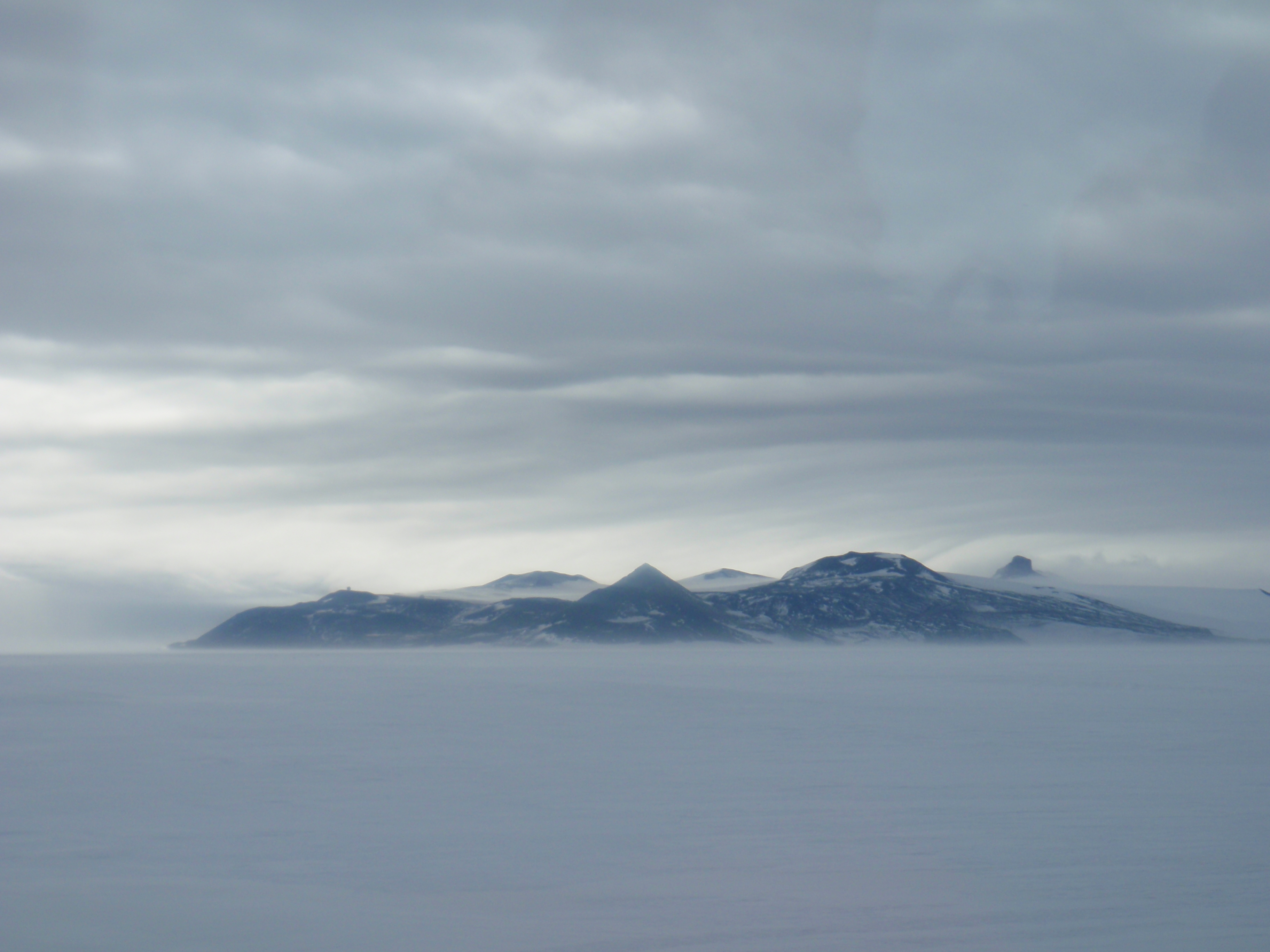
Hut Point Peninsula () is a long, narrow peninsula from wide and long, projecting south-west from the slopes of Mount Erebus on Ross Island, Antarctica. McMurdo Station (US) and Scott Base (NZ) are Antarctic research stations located on the Hut Point Peninsula. History The British National Antarctic Expedition (1901–04) under Robert Falcon Scott built its hut on Hut Point, a small point lying north-east of Cape Armitage, the southern headland of the peninsula. Members of the British Antarctic Expedition, 1910–13 (BAE), under Scott, wintering on Cape Evans and often using the hut during their journeys, came to refer to the whole peninsula as the Hut Point Peninsula. Stonehouse, Bernard. ''Encyclopedia of Antarctica and the Southern Oceans'', John Wiley and Sons, 2002. Historic sites and monuments Several features on Hut Point, including the cross memorial for George Vince and the store hut for the Scott expeditions, are protected under the Antarctic Treaty. Both th ... [...More Info...] [...Related Items...] OR: [Wikipedia] [Google] [Baidu] |
Ross Island
Ross Island is an island formed by four volcanoes in the Ross Sea near the continent of Antarctica, off the coast of Victoria Land in McMurdo Sound. Ross Island lies within the boundaries of Ross Dependency, an area of Antarctica claimed by New Zealand. History Discovery Sir James Ross discovered it in 1840, and it was later named in honour of him by Robert F. Scott. Ross Island was the base for many of the early expeditions to Antarctica. It is the southernmost island reachable by sea. Huts built by Scott's and Shackleton's expeditions are still standing on the island, preserved as historical sites. Today Ross Island is home to New Zealand's Scott Base, and the largest Antarctic settlement, the U.S. Antarctic Program's McMurdo Station. Greenpeace established World Park Base on the island and ran it for five years, from 1987 to 1992. Geography Because of the persistent presence of the ice sheet, the island is sometimes taken to be part of the Antarctic mainland. Its are ... [...More Info...] [...Related Items...] OR: [Wikipedia] [Google] [Baidu] |
Cape Williams
Cape Williams () is an ice-covered cape in Antarctica. It is the termination of Buell Peninsula at the east side of the terminus of Lillie Glacier at the lower ends of George Glacier and Zykov Glacier. The peninsula is 15 nautical miles (28 km) long and is situated at the extremity of the Pennell Coast portion of Victoria Land, lying between Cape Williams and Cape Adare Cape Adare is a prominent cape of black basalt forming the northern tip of the Adare Peninsula and the north-easternmost extremity of Victoria Land, East Antarctica. Description Marking the north end of Borchgrevink Coast and the west e .... It was discovered in February 1911 when the Terra Nova of the British Antarctic Expedition, 1910–13, explored the area westward of Cape North, and it was named for William Williams, Chief Engine-room Artificer on the Terra Nova. Headlands of Victoria Land Pennell Coast {{VictoriaLand-geo-stub ... [...More Info...] [...Related Items...] OR: [Wikipedia] [Google] [Baidu] |


