|
Area Code 671
The area code 671 is the local telephone area code of the United States territory of Guam. It was created with the beginning of permissive dialing on July 1, 1997, replacing Guam's previous International Telecommunication Union country code 671 at the end of permissive dialing on July 1, 1998. Origins Prior to 1997, callers from the rest of the United States had to dial '011-671' and then the seven-digit telephone number to reach Guam, similar to international calls. As international calling rates began to fall in the more competitive destination countries during the 1990s, it became a considerable financial burden for people on the United States mainland to place calls to the United States territory of Guam, especially for those who were stationed in United States military bases there. Calling costs After Guam was added to the North American Numbering Plan, the Federal Communications Commission (FCC) regulated calls to and from Guam as "domestic", hence dramatically lowering the ... [...More Info...] [...Related Items...] OR: [Wikipedia] [Google] [Baidu] |
Telephone
A telephone is a telecommunications device that permits two or more users to conduct a conversation when they are too far apart to be easily heard directly. A telephone converts sound, typically and most efficiently the human voice, into electronic signals that are transmitted via cables and other communication channels to another telephone which reproduces the sound to the receiving user. The term is derived from el, τῆλε (''tēle'', ''far'') and φωνή (''phōnē'', ''voice''), together meaning ''distant voice''. A common short form of the term is ''phone'', which came into use early in the telephone's history. In 1876, Alexander Graham Bell was the first to be granted a United States patent for a device that produced clearly intelligible replication of the human voice at a second device. This instrument was further developed by many others, and became rapidly indispensable in business, government, and in households. The essential elements of a telephone are a ... [...More Info...] [...Related Items...] OR: [Wikipedia] [Google] [Baidu] |
Asan-Maina, Guam
Asan-Maina ( ch, Assan-Ma'ina) is a village located on the western shore of the United States territory of Guam. The municipality combines the names of the coastal community of Asan with Maina, a community along the slopes of the Fonte River valley to the east. Asan was the northern landing site for United States Marines during Guam's liberation from the Japanese during World War II. Asan Beach Park is part of the War in the Pacific National Historic Park. The third community comprising Asan-Maina is Nimitz Hill Annex in the hills above Asan and Maina, which is the location of the Joint Region Marianas headquarters. Asan-Maina is located in the Luchan (Western) District. Etymology Asan derives its name from the Chamorro word ''hassan'' meaning scarce or rare. One meaning of the word ''ma’ina'' refers to an infant who, between the time of birth and baptism, is taken by the mother to Mass before sunrise. This old ritual was considered analogous to and in imitation of the Presen ... [...More Info...] [...Related Items...] OR: [Wikipedia] [Google] [Baidu] |
Merizo
Malesso' (formerly Merizo) is the southernmost village in the United States territory of Guam. Cocos Island (Chamorro: Islan Dåno) is a part of the municipality. The village's population has decreased since the island's 2010 census. Malesso' is the closest populated place in the United States to the equator. History During the first Spanish missionary efforts on Guam, Malesso' was the site of resistance encouraged by Choco, a Chinese resident of the village. The parish of Malesso' was the second established by the Spanish on Guam. A large population of Chamorros from the Mariana Islands were relocated to the village during Spanish rule. The village covers an area of and is located on the shore below the volcanic hills of southern Guam. Places of interest for visitors include Merizo Bell TowerMalesso' Kombentoand Merizo Pier where ferries can be taken to Cocos Island (Guam) Resort. Several popular dive sites are located off the Malesso' coast. In August 2021, Gov. Lou Leo ... [...More Info...] [...Related Items...] OR: [Wikipedia] [Google] [Baidu] |
Talofofo
Talo'fo'fo, formerly Talofofo, is a village located in the southern part of the United States territory of Guam, on the east coast. The village center is located in the hills above the coast, while the smaller coastal community below the cliff is known as Ipan. The village contains two golf courses. Other tourist attractions include Jeff's Pirate's Cove Restaurant and Museum, Talofofo Caves, Talofofo Falls Resort Park, Ipan Beach Resort and a Talofofo River boat cruise to an ancient Chamorro village. Japanese holdout from World War II Shoichi Yokoi was discovered by Jesus Duenas and Manuel DeGracia near Talo'fo'fo on January 24, 1972.Shoichi Yokoi, police transcripts , ns.gov.gu A recreation of his hide out cave is included at ... [...More Info...] [...Related Items...] OR: [Wikipedia] [Google] [Baidu] |
Yona
The word Yona in Pali and the Prakrits, and the analogue Yavana in Sanskrit and Yavanar in Tamil, were words used in Ancient India to designate Greek speakers. "Yona" and "Yavana" are transliterations of the Greek word for "Ionians" ( grc, Ἴωνες < Ἰάoνες < *Ἰάϝoνες), who were probably the first Greeks to be known in the East. Both terms appear in ancient literature. ''Yavana'' appears, for instance, in the '''', while ''Yona'' appears in texts such as the n chronicle '' Mahavamsa''. The Yona are mentioned in ... [...More Info...] [...Related Items...] OR: [Wikipedia] [Google] [Baidu] |
Barrigada
Barrigada ( ch, Barigåda) is a village in the United States territory of Guam. A largely residential municipality, its main village is located south of the Antonio B. Won Pat International Airport near the intersections of Routes 8, 10, and 16. The community east of the airport known as Barrigada Heights is considered an affluent neighborhood on the island, where homes have excellent views overlooking much of Guam including the island's airport and hotels along Tumon Bay. Another significant location is Mount Barrigada, nearly 200 meters above sea level. Its location in the center of the island means it houses most of the island's radio masts and towers; the position and height make it easier for radio signals to reach the entire island. History From 2 to 4 August 1944, the United States Marine Corps engaged troops from the Empire of Japan at present-day Barrigada Heights during the battle of Guam, a year before the end of the Second World War. When the Japanese line collapse ... [...More Info...] [...Related Items...] OR: [Wikipedia] [Google] [Baidu] |
Mangilao
Mangilao is a Villages of Guam, village on the eastern shore of the United States territory of Guam. The village's population has decreased slightly since the island's 2010 census. Cliffs lie along much of the village's shoreline provide dramatic views, including of Pago Bay along Mangilao's southern coastline, but few of Mangilao's beaches are available for recreational uses. The island's main prison is in Mangilao. Demographics The U.S. Census Bureau has the municipality in multiple census-designated places: Mangilao, Adacao, Pagat, and University of Guam. Government and infrastructure The Guam Department of Corrections (DEPCOR) operates the Adult Correctional Facility (ACF), the Community Corrections Center (C3), and the Women's Facility in Mangilao. The Guam Department of Youth Affairs has its headquarters in Mangilao. The Guam Youth Correctional Facility, operated by the department, is in Mangilao. The Guam Department of Agriculture has its headquarters in Mangilao. The G ... [...More Info...] [...Related Items...] OR: [Wikipedia] [Google] [Baidu] |
Yigo
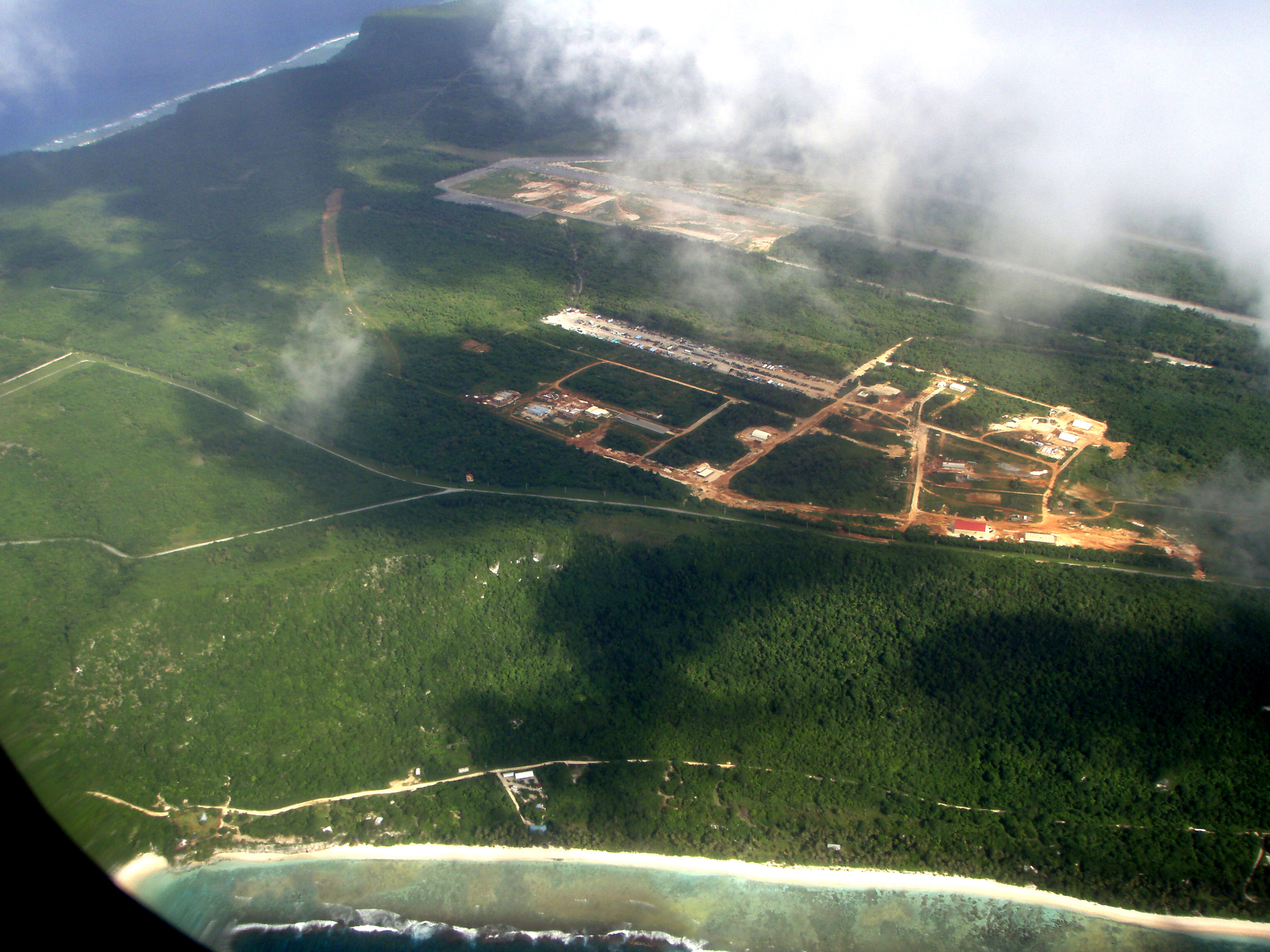
Yigo, Guam ( ch, Yigu; pronounced ) is the northernmost village of the United States territory of Guam, and is the location of Andersen Air Force Base. The municipality of Yigo is the largest village on the island in terms of area. It contains a number of populated places, including Asatdas and Agafo Gumas. History The origin of the name "Yigo" is contested. Some state that it is derived from the Spanish word ''yugo'', meaning "yoke". However, some sources refer to the area as Asyigo, meaning "the home of the person Yigo." Any record of such a person has been lost. Before contact with Europeans, Yigo had a large number of villages. Latte stone structure remnants around Mount Santa Rosa and Mataguac indicate significant populations. During the Spanish-Chamorro Wars of the late seventeenth century, settlements in Yigo included Hanom, Tarague, Hinapsan, and Upi (now Northwest Field). Hanom, in particular, was a critical refuge because of its freshwater spring. The August 167 ... [...More Info...] [...Related Items...] OR: [Wikipedia] [Google] [Baidu] |
Tamuning
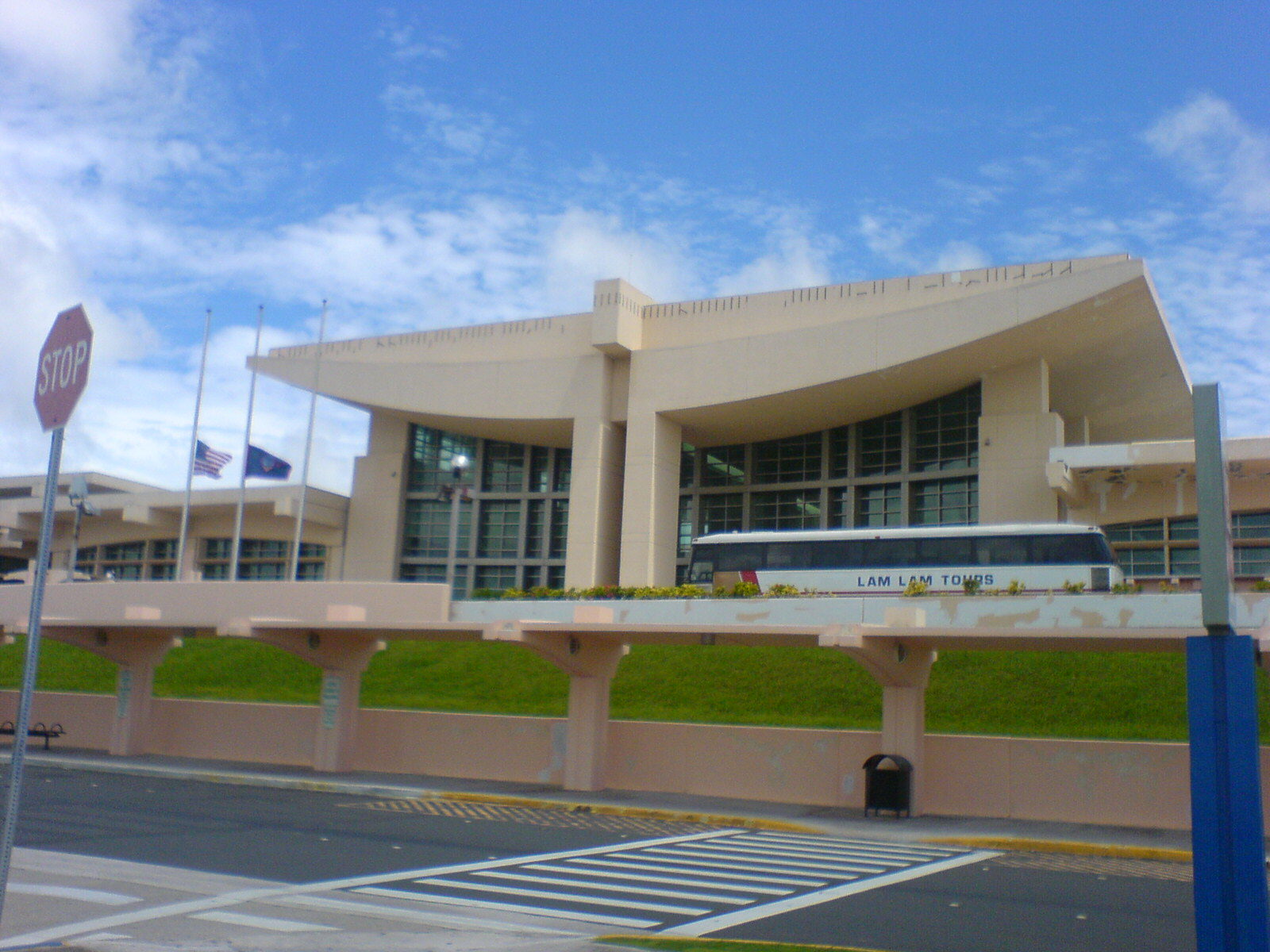
Tamuning, also known as Tamuning-Tumon-Harmon ( ch, Tamuneng) is a village located on the western shore of the United States territory of Guam. The village of Tamuning is the economic center of Guam, containing tourist center Tumon, Harmon Industrial Park, and other commercial districts. Its central location along Marine Corps Drive, the island's main thoroughfare, has aided in its development. Tamuning is the site of the access roads and the old passenger terminal of Antonio B. Won Pat International Airport, the passenger airport for Guam.CBC66010_009.pdf " . Retrieved on October 6, 2010. Fort Juan Muña, in Harmon, is a facility for the [...More Info...] [...Related Items...] OR: [Wikipedia] [Google] [Baidu] |
Dededo
Dededo ( ch, Dedidu; formerly in Spanish: , in Japanese: , ''Dededo'') is the most populated village in the United States territory of Guam. According to the U.S. Census Bureau, Dededo's population was just under 45,000 in 2020. The village is located on the coral plateau of Northern Guam. The greater Dededo-Machanao-Apotgan Urban Cluster had a population of 139,825 as of the 2010 census, making up 87.7% of Guam's population and 29.8% of its area. Etymology The origin of the village name Dededo, Dedidu in Chamorro, may come from the practice of measuring using fingers. The Spanish word for finger is dedo. It can be theorized that someone measured out the original village this way. Another possibility is that the word "dededo" is a version of the word "dedeggo," which means "heel of the foot," or that it comes from the word "deggo" which means to "walk on tiptoes." History Before World War II, Dededo Village was at the bottom of Macheche Hill. Dededo grew into a major village ... [...More Info...] [...Related Items...] OR: [Wikipedia] [Google] [Baidu] |
Santa Rita, Guam
Santa Claus, also known as Father Christmas, Saint Nicholas, Saint Nick, Kris Kringle, or simply Santa, is a legendary figure originating in Western Christian culture who is said to bring children gifts during the late evening and overnight hours on Christmas Eve of toys and candy or coal or nothing, depending on whether they are "naughty or nice". In the legend, he accomplishes this with the aid of Christmas elves, who make the toys in his workshop, often said to be at the North Pole, and flying reindeer who pull his sleigh through the air. The modern figure of Santa is based on folklore traditions surrounding Saint Nicholas, the English figure of Father Christmas and the Dutch figure of ''Sinterklaas''. Santa is generally depicted as a portly, jolly, white-bearded man, often with spectacles, wearing a red coat with white fur collar and cuffs, white-fur-cuffed red trousers, red hat with white fur, and black leather belt and boots, carrying a bag full of gifts for childr ... [...More Info...] [...Related Items...] OR: [Wikipedia] [Google] [Baidu] |


.jpg)
