|
Wisconsin Highway 165
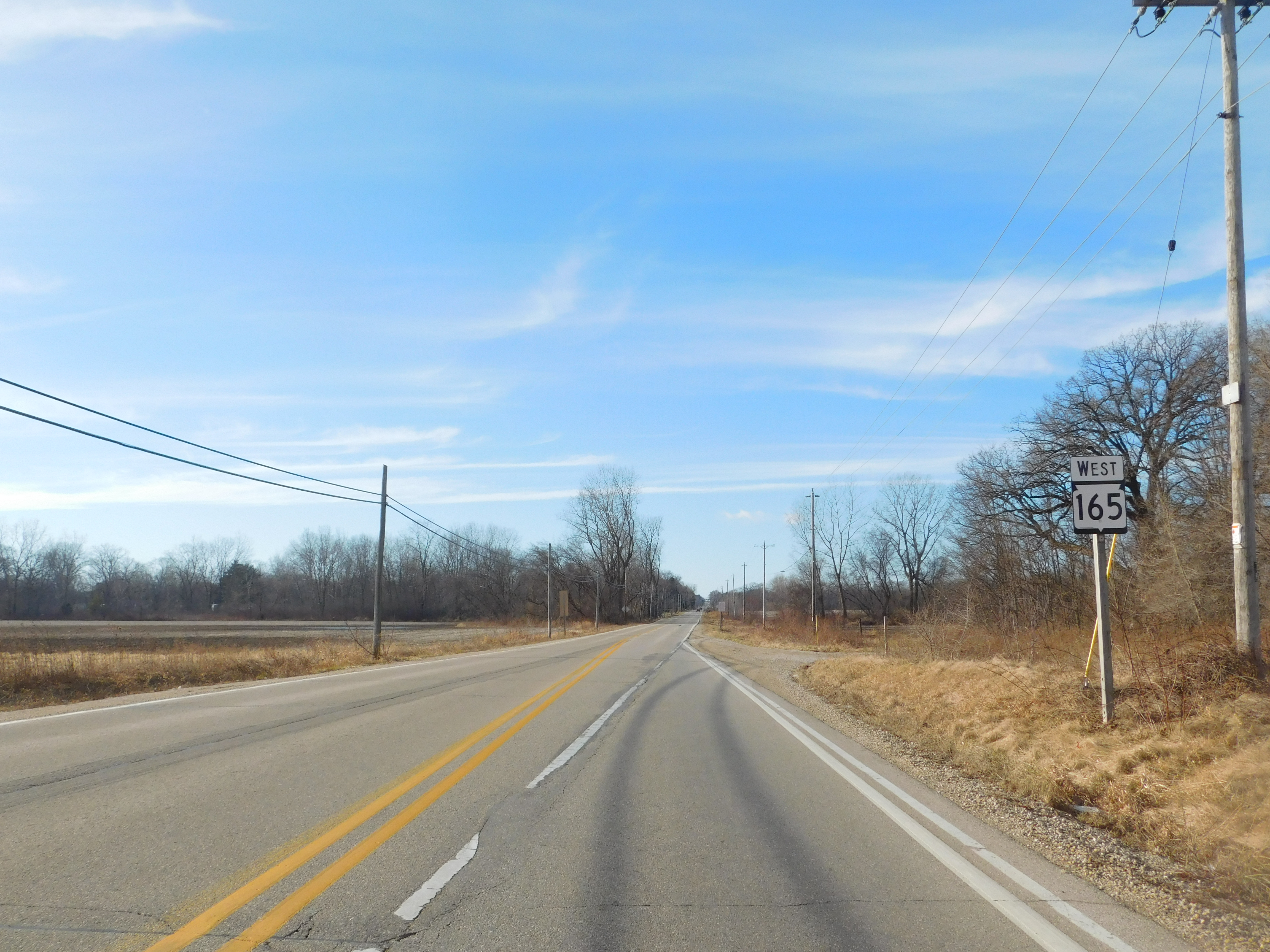
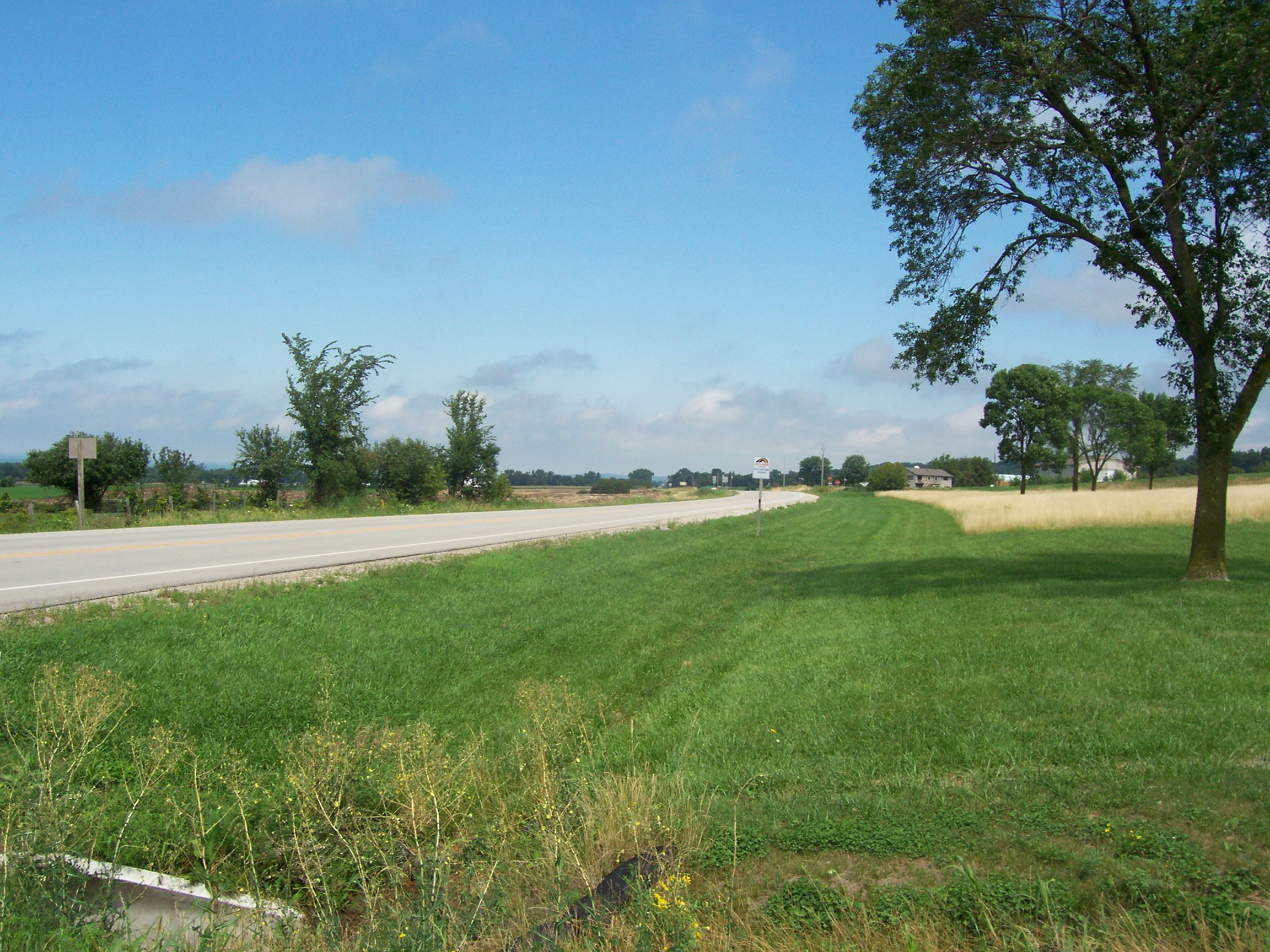
State Trunk Highway 165 (STH-165, commonly known as Highway 165 or WIS 65) is a highway in far southeastern Wisconsin connecting Pleasant Prairie, south of Kenosha, with Interstate 94/Interstate 41/US Highway 41 (I-94/I-41/US 41); the roadway continues westward as County Trunk Highway q (CTH-Q) until it ends at US 45 near Pikeville. The areas served by this connecting route are a commercial area near the Interstate which is adjacent to a growing industrial park between the Interstate and WIS 31 (Green Bay Road) to the east; and a predominantly residential area between WIS 31 and WIS 32 (Sheridan Road) near the shore of Lake Michigan. Route description WIS 165 runs east-west in Pleasant Prairie. Between its eastern terminus at WIS 32 and WIS 31, it is an undivided highway. West of WIS 31, it becomes a multi-lane divided highway until its western terminus at an interchange with I-41/I-94/US 41. West of I-41/I-94/U ... [...More Info...] [...Related Items...] OR: [Wikipedia] [Google] [Baidu] |
Pleasant Prairie, Wisconsin
Pleasant Prairie is a village in the U.S. state of Wisconsin. Located in Kenosha County along the southwestern shoreline of Lake Michigan, Pleasant Prairie was home to 21,250 people at the 2020 census. The village is positioned directly south of the city of Kenosha and directly north of the Illinois border. Although located just 37 miles south of Milwaukee, it is part of the United States Census Bureau's Chicago combined statistical area (CSA) and metropolitan statistical area despite being 57 miles north of that city. Among its notable features are the RecPlex and Chiwaukee Prairie. History The Pleasant Prairie area was the center of Native American activity in pre-pioneer Wisconsin. Some of the earliest traces of Native American life in Wisconsin have been found along State Highway 32 and State Highway 165, Barnes Creek, and in the Carol Beach area. These early Native American campsites were located along what was once the shoreline of Lake Michigan. Pleasant Prairie also sa ... [...More Info...] [...Related Items...] OR: [Wikipedia] [Google] [Baidu] |
Kenosha County, Wisconsin
Kenosha County is located in the southeastern corner of the U.S. state of Wisconsin. The population was 169,151 as of the 2020 United States census, 2020 census, making it the eighth most populous county in Wisconsin. The county shares the same name as the city of Kenosha, Wisconsin, Kenosha, the fourth largest city in Wisconsin. Kenosha County is part of the Chicago metropolitan area, the fourth most-populous metropolitan area in North America after the metro areas of Mexico City, New York, and Los Angeles. Kenosha County is situated on the southwestern shore of Lake Michigan. In March 2008, the demographers of the Wisconsin Department of Administration reported that Kenosha County saw improvements in its roads and business's need for personnel. The county also has a direct rail link to Chicago via Metra's Union Pacific / North Line. Since 2000, the county saw a population increase of 12.6%, higher than the overall Wisconsin growth of 6.0%. According to Business Insider, Kenosha ... [...More Info...] [...Related Items...] OR: [Wikipedia] [Google] [Baidu] |
Wisconsin
Wisconsin () is a state in the upper Midwestern United States. Wisconsin is the 25th-largest state by total area and the 20th-most populous. It is bordered by Minnesota to the west, Iowa to the southwest, Illinois to the south, Lake Michigan to the east, Michigan to the northeast, and Lake Superior to the north. The bulk of Wisconsin's population live in areas situated along the shores of Lake Michigan. The largest city, Milwaukee, anchors its largest metropolitan area, followed by Green Bay and Kenosha, the third- and fourth-most-populated Wisconsin cities respectively. The state capital, Madison, is currently the second-most-populated and fastest-growing city in the state. Wisconsin is divided into 72 counties and as of the 2020 census had a population of nearly 5.9 million. Wisconsin's geography is diverse, having been greatly impacted by glaciers during the Ice Age with the exception of the Driftless Area. The Northern Highland and Western Upland along wi ... [...More Info...] [...Related Items...] OR: [Wikipedia] [Google] [Baidu] |
Kenosha, Wisconsin
Kenosha () is a city in the U.S. state of Wisconsin and the seat of Kenosha County. Per the 2020 census, the population was 99,986 which made it the fourth-largest city in Wisconsin. Situated on the southwestern shore of Lake Michigan, Kenosha is part of the greater Chicago metropolitan area (Chicagoland) as defined by the U.S. Census Bureau. It also has longstanding connections to the Racine and Milwaukee areas to the north. Interstate 94 connects Kenosha to the Chicago and Milwaukee metro areas, and Kenosha itself is situated about halfway between each city. Kenosha was once a center of industrial activity; it was home to large automotive factories which fueled its economy. Like some other Rust Belt cities, Kenosha lost these factories in the late 20th century, causing it to gradually transition into a services-based economy. In recent years, the city and surrounding county have benefited from increased job growth, and the city has worked on repairing roads and other infr ... [...More Info...] [...Related Items...] OR: [Wikipedia] [Google] [Baidu] |
Interstate 94 (Wisconsin)
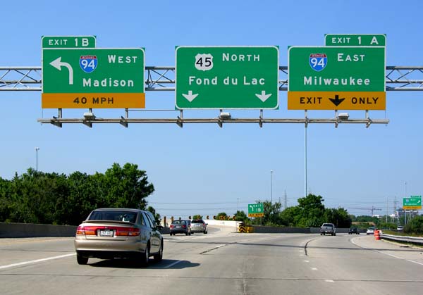
Interstate 94 (I-94) runs east–west through the western, central, and southeastern portions of the US state of Wisconsin. A total of of I-94 lie in the state. Route description The route, cosigned with US Highway 12 (US 12), enters from Minnesota just east of the Twin Cities. The route passes north of Menomonie and south of Eau Claire before turning southeast and heading toward Tomah where it joins I-90. The two Interstates run concurrently for the next to Madison. I-94 enters the state as a six-lane facility which reduces to four-lane at exit 4 (US 12). I-94 passes by the popular tourist destination of Wisconsin Dells. The route converges with I-39 southeast of Tomah (near Portage). This concurrency () is the longest three-route concurrency of the Interstate Highway System and only one of two in existence. The interchanges mark a return to a six-lane configuration. I-94 turns eastward toward Milwaukee at what is commonly known as the "Ba ... [...More Info...] [...Related Items...] OR: [Wikipedia] [Google] [Baidu] |
Interstate 41
Interstate 41 (I-41) is a north–south Interstate Highway connecting the interchange of I-94 and U.S. Route 41 (US 41), located south of the Wisconsin–Illinois border at the end of the Tri-State Tollway in metropolitan Chicago, to an interchange with I-43 in metropolitan Green Bay, Wisconsin. The designation travels concurrently with US 41, I-894, US 45, I-43, and sections of I-94 in Wisconsin and Illinois. The route was officially added to the Interstate Highway System on April 7, 2015, and connects Milwaukee and Green Bay with the Fox Cities. Route description I-41 begins at the I-94/US 41 interchange in Russell, Illinois, located south of the Wisconsin–Illinois border at the end of the Tri-State Tollway. The highway continues north concurrently with I-94 as part of the North-South Freeway to the Mitchell Interchange in Milwaukee, turns west to run concurrently with I-894 and I-43 as the Airport Freeway to the Hale Interchang ... [...More Info...] [...Related Items...] OR: [Wikipedia] [Google] [Baidu] |
Pikeville, Wisconsin
Bristol is a village in Kenosha County, Wisconsin, United States. It was incorporated in 2009 from portions of the Town of Bristol. The population was 2,584 at the 2010 census. The former unincorporated communities of Bissell, Cypress, Pikeville, and Woodworth are located in the village. With a population of 5,192 at the 2020 Census, Bristol has more than doubled its population in the last decade. History The Bristol area's first settler was Rollin Tuttle, who arrived in April 1830. The village was named in 1836 for two brothers, George and Lester Bristol. The first Barnum circus to play in Wisconsin played in Bristol before the Civil War. In November 2009, residents of the Town of Bristol living in the of the northwest corner of the town voted to incorporate as a village. The incorporation became official on December 1, 2009, when a certificate of incorporation was issued by the Secretary of State of Wisconsin. The first elections for village officials took place on Januar ... [...More Info...] [...Related Items...] OR: [Wikipedia] [Google] [Baidu] |
Wisconsin Highway 31
State Trunk Highway 31 (often called Highway 31, STH-31 or WIS 31) is a state highway in Kenosha and Racine counties in the US state of Wisconsin that runs north–south as a suburban route passing Racine and Kenosha. With the exception of a stretch between Four Mile Road and WIS 32 at the north end, WIS 31 is a multi-lane urban highway. An expansion of the remaining was proposed by the Wisconsin Department of Transportation (WisDOT). Route description WIS 31 begins at the Illinois state line where it connects to Illinois Route 131 (IL 131), following Green Bay Road to its junction through Pleasant Prairie. The highway briefly passes through the northwestern part of Kenosha. WIS 50 and WIS 158 cross WIS 31 in Kenosha. WIS 31 passes along the west side of University of Wisconsin–Parkside south of the Racine County line. In the Racine area, WIS 31 crosses WIS 11, WIS 20 and WIS 38, turning onto Ole Davids ... [...More Info...] [...Related Items...] OR: [Wikipedia] [Google] [Baidu] |
Wisconsin Highway 32
State Trunk Highway 32 (often called Highway 32, STH-32 or WIS 32) is a state highway in the U.S. state of Wisconsin that runs north–south in eastern Wisconsin. It runs from the Illinois border (at Illinois Route 137) north to the Michigan border (concurrent with U.S. Highway 45). It is named the 32nd Division Memorial Highway after the U.S. 32nd Infantry Division, and the highway shields have red arrows—the division's logo—on either side of the number 32. The route of WIS 32 and the Red Arrow marking is set in state statute by the Wisconsin Legislature. Route description Illinois state line to Milwaukee At the Illinois state line, IL 137 ends while WIS 32 begins as a continuation of it. From then on, it intersects WIS 165, WIS 50 and WIS 158 in Kenosha, and WIS 11 in Racine. Then, as WIS 32 nearly reaches Racine, Sheridan Road ends and continues as Racine Street. Then, in downtown Racine, WIS 20 runs concurrently with WIS 32 for ... [...More Info...] [...Related Items...] OR: [Wikipedia] [Google] [Baidu] |
Lake Michigan
Lake Michigan is one of the five Great Lakes of North America. It is the second-largest of the Great Lakes by volume () and the third-largest by surface area (), after Lake Superior and Lake Huron. To the east, its basin is conjoined with that of Lake Huron through the wide, deep, Straits of Mackinac, giving it the same surface elevation as its easterly counterpart; the two are technically a single lake. Lake Michigan is the world's largest lake by area in one country. Located in the United States, it is shared, from west to east, by the states of Wisconsin, Illinois, Indiana, and Michigan. Ports along its shores include Milwaukee and the City of Green Bay in Wisconsin; Chicago in Illinois; Gary in Indiana; and Muskegon in Michigan. Green Bay is a large bay in its northwest, and Grand Traverse Bay is in the northeast. The word "Michigan" is believed to come from the Ojibwe word (''michi-gami'' or ''mishigami'') meaning "great water". History Some of most studied ea ... [...More Info...] [...Related Items...] OR: [Wikipedia] [Google] [Baidu] |
Wisconsin Highway 55
State Trunk Highway 55 (often called Highway 55, STH-55, or WIS 55) is a state highway in Wisconsin, United States. It travels south-to-north in the northeastern part of Wisconsin from an intersection with U.S. Route 151 (US 151) approximately north of Brothertown, near the eastern shore of Lake Winnebago in Calumet County, to the Michigan state line at the Brule River approximately northeast of Nelma in Forest County, where it connects to M-73. Route description Along its route, STH-55 serves Kaukauna, Shawano, the Menominee Indian Reservation, Crandon, and the Nicolet side of the Chequamegon-Nicolet National Forest. History A new roundabout was opened at the intersection of WIS 55 and US 10 between Sherwood and Kaukauna in the autumn of 2009. Another roundabout recently opened at the busy intersection of WIS 55 and WIS 114 approximately west of Sherwood, Wisconsin. Over the summer of 2018, a section of the Wisconsin Highwa ... [...More Info...] [...Related Items...] OR: [Wikipedia] [Google] [Baidu] |

.jpg)


