|
Whetstone, Leicestershire
Whetstone is a village and civil parish in the Blaby district of Leicestershire, England and largely acts as a commuter village for Leicester, five miles to the north. The population at the 2011 census was 6,556. It is part of the Leicester Urban Area. The village is bounded on the east by the A426 (on the other side of which is Blaby village), to the north by the railway line from Birmingham to Leicester, and to the west by the M1. It is well connected to Leicester City centre, with a very frequent direct bus service. From 1899 to 1963 the village was served by Whetstone railway station. Whetstone was the site of Frank Whittle's factory, where jet engines were developed. Babcock Services, ITP Engines Ltd and Converteam now occupy much of the site. Smaller companies rent space, mainly for storing commercial vehicles. Until 2002 the site sounded an Air Raid Siren at 8am every Wednesday. The site of the Whittle factory became the English Electric Company (later GEC). ... [...More Info...] [...Related Items...] OR: [Wikipedia] [Google] [Baidu] |
Blaby District
Blaby is a local government district in Leicestershire, England. The district is named after Blaby. The population of the district at the 2011 census was 93,915. It covers the civil parish of Blaby and 23 others. Among these are Cosby, Countesthorpe, Enderby, Huncote, Narborough (the location of the main district council offices), Sapcote, Stoney Stanton, and Wigston Parva. Much of the district is part of the Leicester Urban Area: this applies especially to the parishes of Braunstone Town (including the commuter housing development of Thorpe Astley); Glenfield (the location of County Hall, the home of Leicestershire County Council); Kirby Muxloe; Leicester Forest East; and Glen Parva. There are plans to extend this urban area significantly through a large scale housing development, in the rural parish of Lubbesthorpe, and expansion of the industrial area in the neighbouring parish of Enderby. Blaby was represented in Parliament by the former Chancellor of the Exchequer ... [...More Info...] [...Related Items...] OR: [Wikipedia] [Google] [Baidu] |
English Electric
N.º UIC: 9094 110 1449-3 (Takargo Rail) The English Electric Company Limited (EE) was a British industrial manufacturer formed after the Armistice of 11 November 1918, armistice of World War I by amalgamating five businesses which, during the war, had been making munitions, armaments and aeroplanes. It initially specialised in industrial electric motors and transformers, railway locomotives and traction equipment, diesel motors and steam turbines. Its activities were later expanded to include consumer electronics, nuclear reactors, guided missiles, military aircraft and mainframe computers. Two English Electric aircraft designs became landmarks in British aeronautical engineering; the Canberra and the Lightning. In 1960, English Electric Aircraft (40%) merged with Vickers (40%) and Bristol (20%) to form British Aircraft Corporation. In 1968 English Electric's operations were merged with GEC's, the combined business employing more than 250,000 people. Foundation Aiming ... [...More Info...] [...Related Items...] OR: [Wikipedia] [Google] [Baidu] |
Villages In Leicestershire
A village is a clustered human settlement or community, larger than a hamlet but smaller than a town (although the word is often used to describe both hamlets and smaller towns), with a population typically ranging from a few hundred to a few thousand. Though villages are often located in rural areas, the term urban village is also applied to certain urban neighborhoods. Villages are normally permanent, with fixed dwellings; however, transient villages can occur. Further, the dwellings of a village are fairly close to one another, not scattered broadly over the landscape, as a dispersed settlement. In the past, villages were a usual form of community for societies that practice subsistence agriculture, and also for some non-agricultural societies. In Great Britain, a hamlet earned the right to be called a village when it built a church. [...More Info...] [...Related Items...] OR: [Wikipedia] [Google] [Baidu] |
Leicester Lions RFC
Leicester Lions are a rugby union club who currently play in National League 2 West – at tier 4 of the English rugby union system. The Lions are a leading amateur club in Leicester and along with Loughborough University and Hinckley are the senior clubs in Leicestershire after Premiership Rugby side Leicester Tigers. The club was formed as a result of an amalgamation between two local clubs in 1998, these being Westleigh RFC (established in 1904) and Wigston RFC (established in 1946). Leicester Lions boast several high-profile names amongst their former and current players and coaching staff. Jason Aldwinckle, the former Leicester Tigers' hooker is the forwards coach, while the former club captain and England Counties outside back Gareth Collins has taken over as head coach. Notable former Lions, Westleigh and Wigston players include England World Cup winning captain Martin Johnson, England lock Louis Deacon, Tigers back-rower Brett Deacon and Gloucester and England centr ... [...More Info...] [...Related Items...] OR: [Wikipedia] [Google] [Baidu] |
Rugby Union
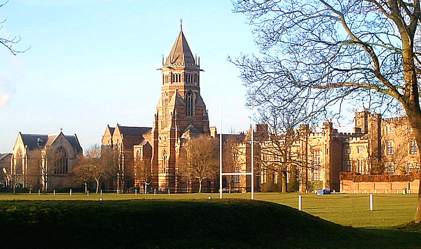
Rugby union, commonly known simply as rugby, is a close-contact team sport that originated at Rugby School in the first half of the 19th century. One of the two codes of rugby football, it is based on running with the ball in hand. In its most common form, a game is played between two teams of 15 players each, using an oval-shaped ball on a rectangular field called a pitch. The field has H-shaped goalposts at both ends. Rugby union is a popular sport around the world, played by people of all genders, ages and sizes. In 2014, there were more than 6 million people playing worldwide, of whom 2.36 million were registered players. World Rugby, previously called the International Rugby Football Board (IRFB) and the International Rugby Board (IRB), has been the governing body for rugby union since 1886, and currently has 101 countries as full members and 18 associate members. In 1845, the first laws were written by students attending Rugby School; other significant even ... [...More Info...] [...Related Items...] OR: [Wikipedia] [Google] [Baidu] |
Leicester City F
Leicester ( ) is a city status in the United Kingdom, city, Unitary authorities of England, unitary authority and the county town of Leicestershire in the East Midlands of England. It is the largest settlement in the East Midlands. The city lies on the River Soar and close to the eastern end of the National Forest, England, National Forest. It is situated to the north-east of Birmingham and Coventry, south of Nottingham and west of Peterborough. The population size has increased by 38,800 ( 11.8%) from around 329,800 in 2011 to 368,600 in 2021 making it the most populous municipality in the East Midlands region. The associated Urban area#United Kingdom, urban area is also the 11th most populous in England and the List of urban areas in the United Kingdom, 13th most populous in the United Kingdom. Leicester is at the intersection of two railway lines: the Midland Main Line and the Birmingham to London Stansted Airport line. It is also at the confluence of the M1 motorway, M1/M ... [...More Info...] [...Related Items...] OR: [Wikipedia] [Google] [Baidu] |
Narborough, Leicestershire
Narborough is a large village and civil parish in the Blaby district of Leicestershire, England, around southwest of Leicester. The population of the civil parish (including Littlethorpe) was 8,498. The name is derived from the Old English ''north burh'', meaning "north fort or stronghold". At the 2001 Census, the parish had a population of 8,402. Surrounding villages include Enderby, Whetstone, Littlethorpe, Cosby, and Huncote. Location Narborough is situated on or near several major transport corridors. The M1 motorway passes through the east of Narborough, and the Leicester to Birmingham railway line runs beside the River Soar on its way through the village. Coventry Road in the village centre runs along the course of the Fosse Way (Roman road), which then joins back onto the present course of the B4114 link from Birmingham to Leicester. Narborough is often split into two distinct parts, the (old) village core to the South and the newer Pastures estate to the nort ... [...More Info...] [...Related Items...] OR: [Wikipedia] [Google] [Baidu] |
Littlethorpe, Leicestershire
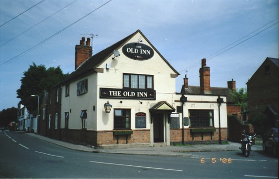
Littlethorpe is a small village approximately south of Leicester, separated from the village of Narborough by the Leicester to Birmingham railway line, and the River Soar of which it is the true discharge. The village has expanded since the Second World War most noticeably through the creation of two housing estates, the Jelson estate and Barratt estate. Housing continues to be built, Parnell Close being completed during 2005. Services The village has two pubs, the Plough Inn and the Old Inn. Other services include a garden centre, funeral directors and a beauty salon. Narborough railway station is situated close to Littlethorpe, on the edge of Narborough, and services run between Leicester and Birmingham. Littlethorpe Community Association The Littlethorpe Community Association meets in the skittle alley of one of the pubs. The Association organises the annual gala on Littlethorpe Park and Thorpe meadows, as well as holding monthly coffee mornings at the village hall a ... [...More Info...] [...Related Items...] OR: [Wikipedia] [Google] [Baidu] |
Cosby, Leicestershire
Cosby is a village in the English county of Leicestershire. Cosby is located in the south of the county near the larger villages and towns of Whetstone, Blaby and Wigston. Its proximity to the city of Leicester means it is part of the Leicester Urban Area. The village is administered by Blaby District Council. Cosby has a brook which runs through the village and eventually serves as a tributary to the River Soar. The village's name probably means 'farm/settlement of Cossa'. 'Farm/settlement of Kofsi' has also been suggested. It is not known how the name originated, and it is first recorded as "Cossebi" in the Domesday Book in 1086 with 40 families living in the village. Cosby was described as a "considerable village" in 1810 (with a population of 555) by historian John Nichols. In 1991 it had a population of 3,400 and in 2001 a population of 3,489, increasing to 3,506 at the 2011 census. Cosby's 'Scandinavian' place name indicates that the village existed here several hu ... [...More Info...] [...Related Items...] OR: [Wikipedia] [Google] [Baidu] |
Countesthorpe
Countesthorpe is a large village and civil parish in the Leicestershire district of Blaby, with a population of 6,393 (2001 census, falling slightly to 6,377 at the 2011 census. It lies to the south of Leicester, and is about from the city centre, but only two miles south of the suburb of South Wigston. Nearby places are Blaby and South Wigston to the north, Kilby to the east, Peatling Magna and Willoughby Waterleys to the south, and Broughton Astley, Cosby and Whetstone to the west. The name Countesthorpe originates from the 11th century when the area was part of the marriage dowry of the Countess Judith, niece of William the Conqueror. The 'thorpe' part of the name is a variant of the Middle English word thorp, meaning hamlet or small village. The parish church of St. Andrew was started in 1220 by the family of Lord William of Ludbrook. It was restored in 1840 and again in 1907. The 14th-century tower still remains. The village has three public houses: The Axe and ... [...More Info...] [...Related Items...] OR: [Wikipedia] [Google] [Baidu] |
Glen Parva
Glen Parva is a civil parish in the Blaby district of Leicestershire, England with a population of over 17,000. The population of the civil parish (including Eyres Monsell) was measured at 17,189 in the 2011 census. To the north it runs into Aylestone and to the east South Wigston. To the south and west it is not immediately surrounded by development. Eyres Monsell forms part of the City Of Leicester District but is included in the Parish of Glen Parva (southern part of Eyres Monsell only from south of Sturdee road). Glen Parva forms part of the Leicester Urban Area due to its close proximity to Leicester City Centre. Glen Parva is in the Saxondale ward of Leicestershire. Glen Parva with Eyres Monsell is 4.5 miles south of Leicester city centre, 1 mile southeast of Fosse Shopping Park that is in Enderby and half a mile from Blaby. It is a largely residential area with no main shopping or leisure centres, although it is situated next to Fosse Shopping Park, which is one of ... [...More Info...] [...Related Items...] OR: [Wikipedia] [Google] [Baidu] |
Enderby, Leicestershire
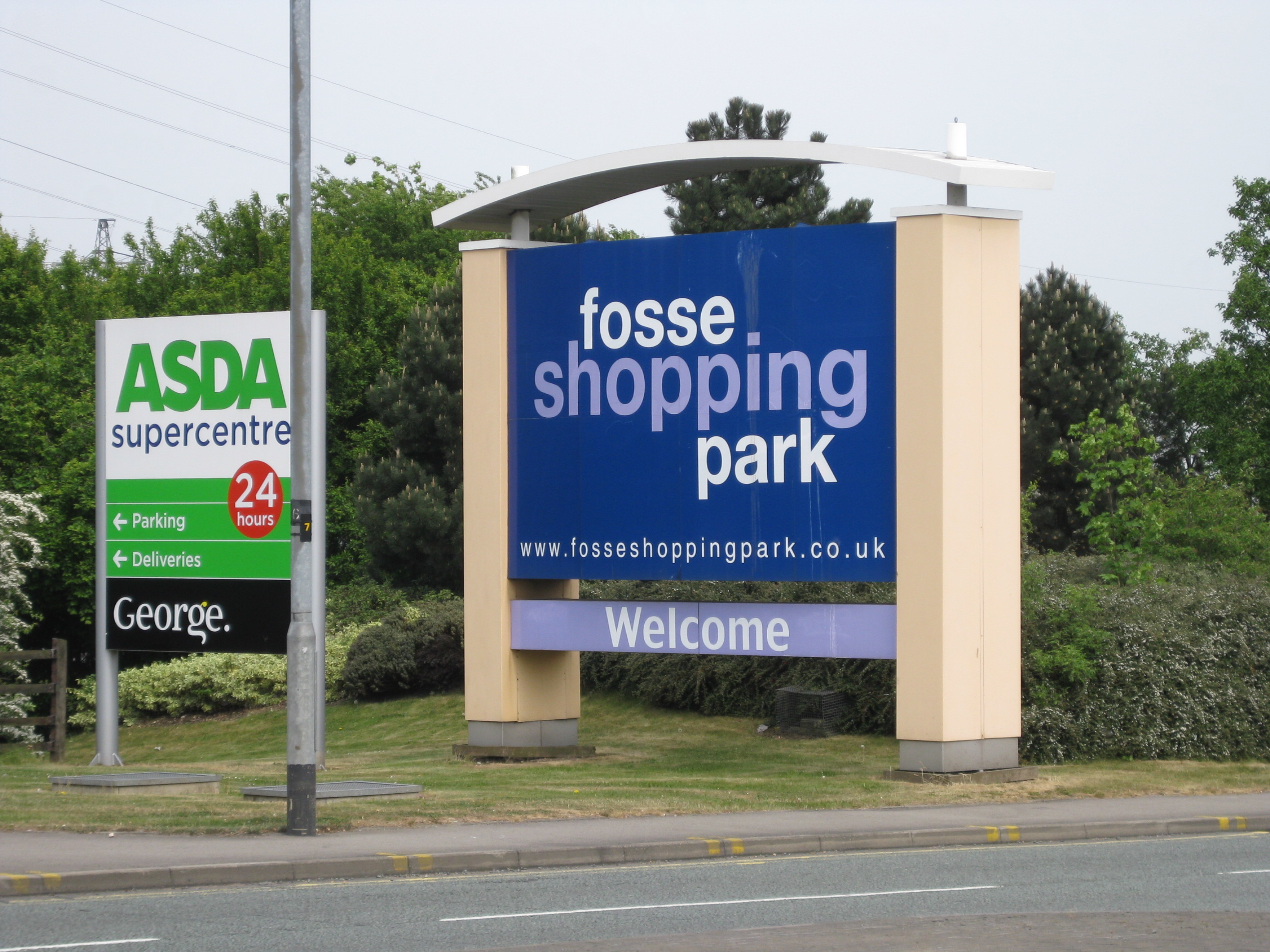
Enderby is a village and civil parish in Leicestershire, England, on the southwest outskirts of the city of Leicester. The parish includes the neighbourhood of St John's, which is east of the village separated from it by the M1 motorway. The 2011 Census recorded the parish's population as 6,314. The village's name means 'farm/settlement of Eindrithi'. The village is situated on the B4114 between Fosse Shopping Park and Narborough. The parish includes Fosse Shopping Park, Grove Park Commercial Centre and Everards Brewery. The parish is bounded by the City of Leicester and the civil parishes of Braunstone Town, Glen Parva, Lubbesthorpe, Narborough and Whetstone. The course of the Fosse Way Roman road passes through the parish. Near St John's is the deserted village of Aldeby by the River Soar. Enderby Hall was the ancestral home of the Smith family when the paternal line ended. The hall was left to Charles Loraine who took the name Charles Loraine Smith. [...More Info...] [...Related Items...] OR: [Wikipedia] [Google] [Baidu] |

.jpg)


