|
Whalley Range, Greater Manchester
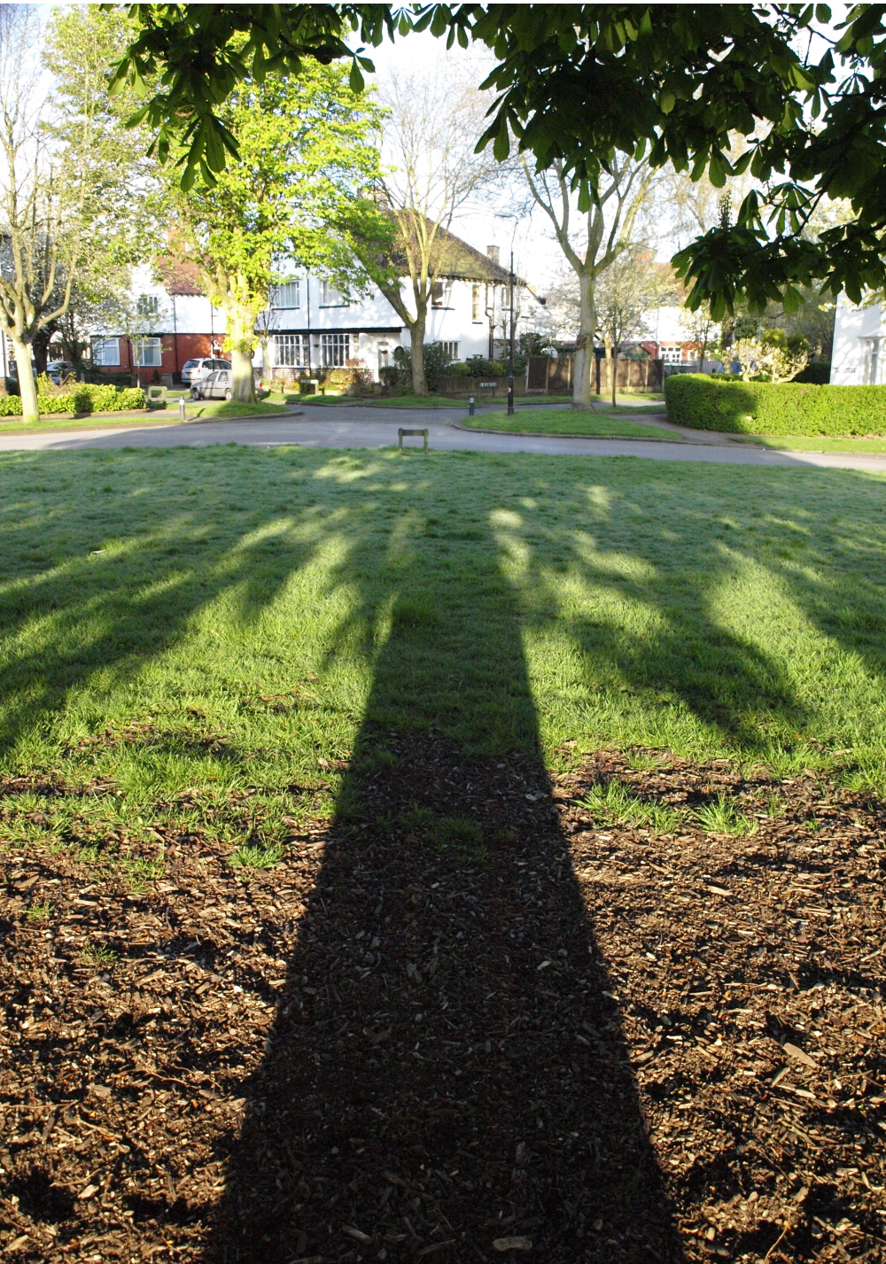
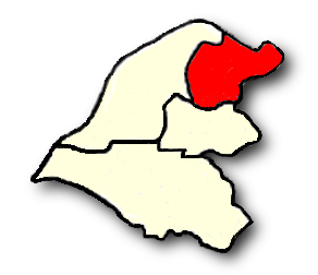
Whalley Range is an area of Manchester, England, about southwest of the city centre. The population at the 2011 census was 15,430. Historically in Lancashire, it was one of the earliest of the city's suburbs, built by local businessman Samuel Brooks. History Whalley Range was one of Manchester's first suburbs, built by Manchester banker and businessman Samuel Brooks as "a desirable estate for gentlemen and their families". In September 1834, Samuel Brooks bought 39 Lancashire acres of land from Robert Fielden, called Oak Farm in Moss Side, also known locally as Barber's Farm. Brooks also bought 42 Lancashire acres from the Egerton Estate. This land is described in the deeds as being part of Hough Moss, but in the Egerton Estate's records as Fletcher's Moss. It was also known locally as Jackson's, Plant's or Woodall's Moss, and was part of the Manor of Withington. In 1867, the area was given its own postcode by the post office - 'Manchester SW 16'. In 1894, the area north o ... [...More Info...] [...Related Items...] OR: [Wikipedia] [Google] [Baidu] |
Manchester
Manchester () is a city in Greater Manchester, England. It had a population of 552,000 in 2021. It is bordered by the Cheshire Plain to the south, the Pennines to the north and east, and the neighbouring city of City of Salford, Salford to the west. The two cities and the surrounding towns form one of the United Kingdom's most populous conurbations, the Greater Manchester Built-up Area, which has a population of 2.87 million. The history of Manchester began with the civilian settlement associated with the Roman Britain, Roman fort (''castra'') of ''Mamucium'' or ''Mancunium'', established in about AD 79 on a sandstone bluff near the confluence of the rivers River Medlock, Medlock and River Irwell, Irwell. Historic counties of England, Historically part of Lancashire, areas of Cheshire south of the River Mersey were incorporated into Manchester in the 20th century, including Wythenshawe in 1931. Throughout the Middle Ages Manchester remained a manorialism, manorial Township ( ... [...More Info...] [...Related Items...] OR: [Wikipedia] [Google] [Baidu] |
Chorlton-cum-Hardy
Chorlton-cum-Hardy is a suburban area of Manchester, England, southwest of the city centre. Chorlton ward had a population of 14,138 at the 2011 census, and Chorlton Park 15,147. By the 9th century, there was an Anglo-Saxon settlement here. In the Middle Ages, improved drainage methods led to population growth. In the late Victorian and Edwardian periods, its rural character made it popular among the middle class. The loss of its railway station, the conversion of larger houses into flats or bedsitters, and significant social housing development to the south of the area changed its character again in the 1970s. However, the existing Manchester Metrolink tram stop called Chorlton was built on the site of that former railway station and from Manchester, it is served by East Didsbury trams and Manchester Airport trams. Historically, Chorlton was a village on Lancashire's southern border with Cheshire, and a township within the ancient parish of Manchester. It was incorporat ... [...More Info...] [...Related Items...] OR: [Wikipedia] [Google] [Baidu] |
Beeching Axe
The Beeching cuts (also Beeching Axe) was a plan to increase the efficiency of the nationalised railway system in Great Britain. The plan was outlined in two reports: ''The Reshaping of British Railways'' (1963) and ''The Development of the Major Railway Trunk Routes'' (1965), written by Richard Beeching and published by the British Railways Board. The first report identified 2,363 stations and of railway line for closure, amounting to 55% of stations, 30% of route miles, and 67,700 British Rail positions, with an objective of stemming the large losses being incurred during a period of increasing competition from road transport and reducing the rail subsidies necessary to keep the network running. The second report identified a small number of major routes for significant investment. The 1963 report also recommended some less well-publicised changes, including a switch to the now-standard practice of containerisation for rail freight, and the replacement of some services ... [...More Info...] [...Related Items...] OR: [Wikipedia] [Google] [Baidu] |
Stretford
Stretford is a market town in Trafford, Greater Manchester, England. It is situated on flat ground between the River Mersey and the Manchester Ship Canal, south of Manchester city centre, south of Salford, Greater Manchester, Salford and north-east of Altrincham. Stretford borders Chorlton-cum-Hardy to the east, Moss Side and Whalley Range, Manchester, Whalley Range to the south-east, Hulme to the north-east, Urmston to the west, Salford to the north, and Sale, Greater Manchester, Sale to the south. The Bridgewater Canal bisects the town. Within the boundaries of the Historic counties of England, historic county of Lancashire, Stretford was an agricultural village in the 19th century; it was known locally as ''Porkhampton'', due to the large number of pigs produced for the Manchester market. It was also an extensive market-gardening area, producing more than of vegetables each week for sale in Manchester by 1845. The arrival of the Manchester Ship Canal in 1894, and the su ... [...More Info...] [...Related Items...] OR: [Wikipedia] [Google] [Baidu] |
Croydon Airport
Croydon Airport (former International Civil Aviation Organization airport code, ICAO code: EGCR) was the UK's only international airport during the interwar period. Located in Croydon, South London, England, it opened in 1920, built in a Neoclassical architecture, Neoclassical style, and was developed as Britain's main airport, handling more cargo, mail, and passengers than any other UK airport at the time. Innovations at the site included the world's first air traffic control and the first airport terminal. During World War II the airport was named Royal Air Force, RAF Croydon as its role changed to that of a Fighter aircraft, fighter airfield during the Battle of Britain; and in 1943 RAF Transport Command was founded at the site, which used the airport to transport thousands of troops into and out of Europe. After the Second World War, its role returned to civil aviation, but the role of London's primary international airport passed to London Heathrow Airport. Croydon Airport ... [...More Info...] [...Related Items...] OR: [Wikipedia] [Google] [Baidu] |
Alexandra Park Aerodrome
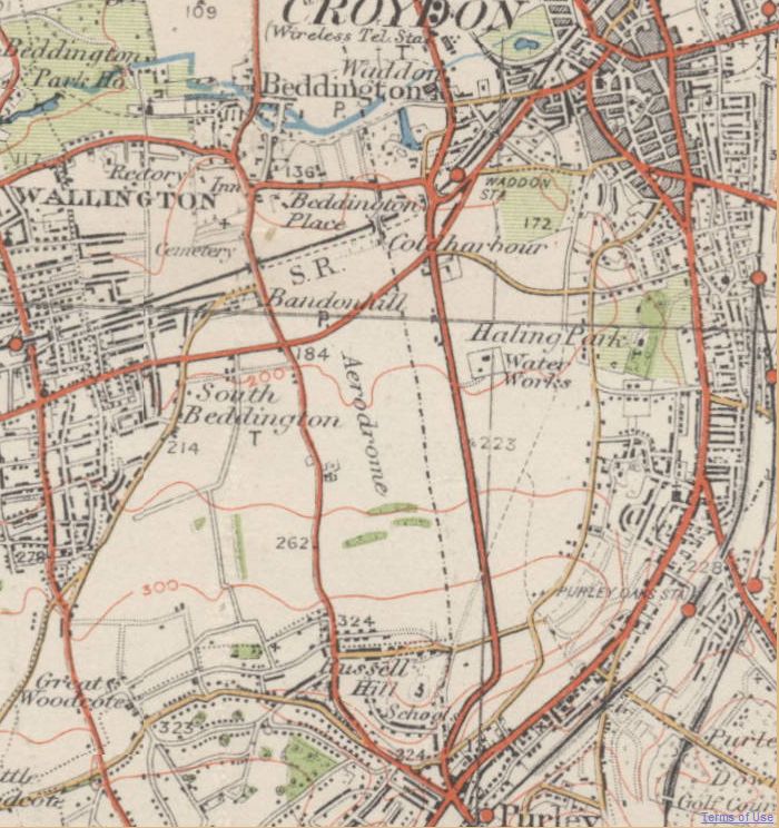
Alexandra Park Aerodrome was the second purpose-built aerodrome in the Manchester area in England. The site was chosen by the War Department in 1917 because of its open agricultural nature, and lay between the neighbouring districts of Fallowfield, Chorlton-cum-Hardy, Whalley Range, Withington and West Didsbury, at the junction of Princess Road and Mauldeth Road West, three miles south of Manchester's city centre: the land was owned by the Egerton Estate. The aerodrome's brief existence is commemorated on a plaque in the sports pavilion at Hough End Playing Fields, which now occupy part of the site. A commemorative plaque was unveiled on 7 July 2007 to mark the 90th anniversary of the aerodrome and is located in the grounds of No. 184 (Manchester South) Squadron, Air Cadets, in Hough End Crescent. Operational history 1918–19 Following the closure of the Trafford Park Aerodrome (Manchester) in 1918 after only seven years of spasmodic use, Alexandra Park Aerodrome was c ... [...More Info...] [...Related Items...] OR: [Wikipedia] [Google] [Baidu] |
Wilbraham Road Railway Station
Wilbraham Road railway station was in Whalley Range, Manchester, England, on the Fallowfield Loop line between and Fairfield, via Chorlton. Opened as Alexandra Park in 1892 by the Manchester, Sheffield and Lincolnshire Railway, it was near the junction of Alexandra Road South and Mauldeth Road West, close to Alexandra Park, and served the expanding residential suburb of Whalley Range. The railway line has since been converted into a shared use path. History Alexandra Park station opened on 2 May 1892. From 1 August 1897 to 1 January 1923 the station was owned by the Great Central Railway (GCR). The GCR was absorbed by the London and North Eastern Railway (LNER) during the Grouping of 1923. The station was renamed Wilbraham Road on 1 July 1923 to avoid possible confusion with the north London suburb of Alexandra Park on the same network. The naming was an unusual choice, since the station was about a from the A6010 Wilbraham Road, and was not visible from there. During ... [...More Info...] [...Related Items...] OR: [Wikipedia] [Google] [Baidu] |
Olympic Torch
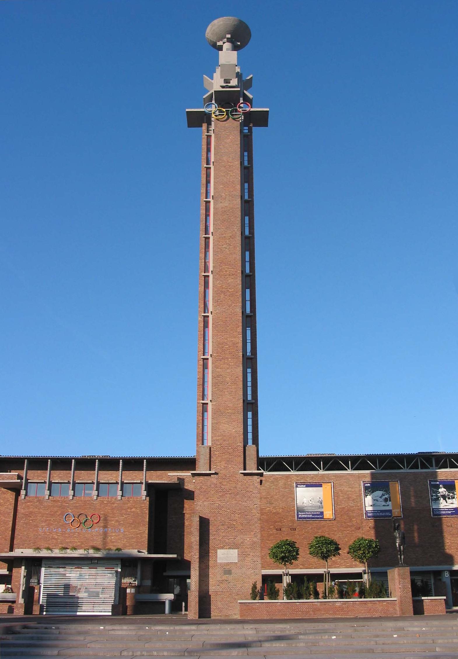
The Olympic flame is a symbol used in the Olympic movement. It is also a symbol of continuity between ancient and modern games. Several months before the Olympic Games, the Olympic flame is lit at Olympia, Greece. This ceremony starts the Olympic torch relay, which formally ends with the lighting of the Olympic cauldron during the opening ceremony of the Olympic Games. The flame then continues to burn in the cauldron for the duration of the Games, until it is extinguished during the Olympic closing ceremony. Origins The Olympic flame as a symbol of the modern Olympic movement was introduced by architect Jan Wils who designed the stadium for the 1928 Summer Olympics in Amsterdam. The idea for the Olympic flame was derived from ancient Greek ceremonies where a sacred fire was kept burning throughout the celebration of the ancient Olympics on the altar of the sanctuary of Hestia. In Ancient Greek mythology, fire had divine connotations and it was thought to have been stolen ... [...More Info...] [...Related Items...] OR: [Wikipedia] [Google] [Baidu] |
Red-light District
A red-light district or pleasure district is a part of an urban area where a concentration of prostitution and sex-oriented businesses, such as sex shops, strip clubs, and adult theaters, are found. In most cases, red-light districts are particularly associated with female street prostitution, though in some cities, these areas may coincide with spaces of male prostitution and gay venues. Areas in many big cities around the world have acquired an international reputation as red-light districts. The term ''red-light district'' originates from the red lights that were used as signs for brothels. Origins of term Red-light districts are mentioned in the 1882 minutes of a Woman's Christian Temperance Union meeting in the United States. The ''Oxford English Dictionary'' records the earliest known appearance of the term "red light district" in print as an 1894 article from the '' Sandusky Register'', a newspaper in Sandusky, Ohio. Author Paul Wellman suggests that this and other te ... [...More Info...] [...Related Items...] OR: [Wikipedia] [Google] [Baidu] |
Cheshire Lines Committee
The Cheshire Lines Committee (CLC) was formed in the 1860s and became the second-largest joint railway in Great Britain. The committee, which was often styled the Cheshire Lines Railway, operated of track in the then counties of Lancashire and Cheshire. The railway did not get ''grouped'' into one of the ''Big Four'' during the implementation of the 1923 grouping, surviving independently with its own management until the railways were nationalised at the beginning of 1948. The railway served Liverpool, Manchester, Stockport, Warrington, Widnes, Northwich, Winsford, Knutsford, Chester and Southport with connections to many other railways. Formation The Cheshire Lines Committee evolved in the late 1850s from the close working together of two railways, the Manchester, Sheffield and Lincolnshire Railway (MS&LR) and the Great Northern Railway (GNR); this was in their desire to break the near monopoly on rail traffic held by the London and North Western Railway (LNWR) in the S ... [...More Info...] [...Related Items...] OR: [Wikipedia] [Google] [Baidu] |
First World War
World War I (28 July 1914 11 November 1918), often abbreviated as WWI, was one of the deadliest global conflicts in history. Belligerents included much of Europe, the Russian Empire, the United States, and the Ottoman Empire, with fighting occurring throughout Europe, the Middle East, Africa, the Pacific, and parts of Asia. An estimated 9 million soldiers were killed in combat, plus another 23 million wounded, while 5 million civilians died as a result of military action, hunger, and disease. Millions more died in genocides within the Ottoman Empire and in the 1918 influenza pandemic, which was exacerbated by the movement of combatants during the war. Prior to 1914, the European great powers were divided between the Triple Entente (comprising France, Russia, and Britain) and the Triple Alliance (containing Germany, Austria-Hungary, and Italy). Tensions in the Balkans came to a head on 28 June 1914, following the assassination of Arch ... [...More Info...] [...Related Items...] OR: [Wikipedia] [Google] [Baidu] |
_2018.png)


