|
Weston Colville
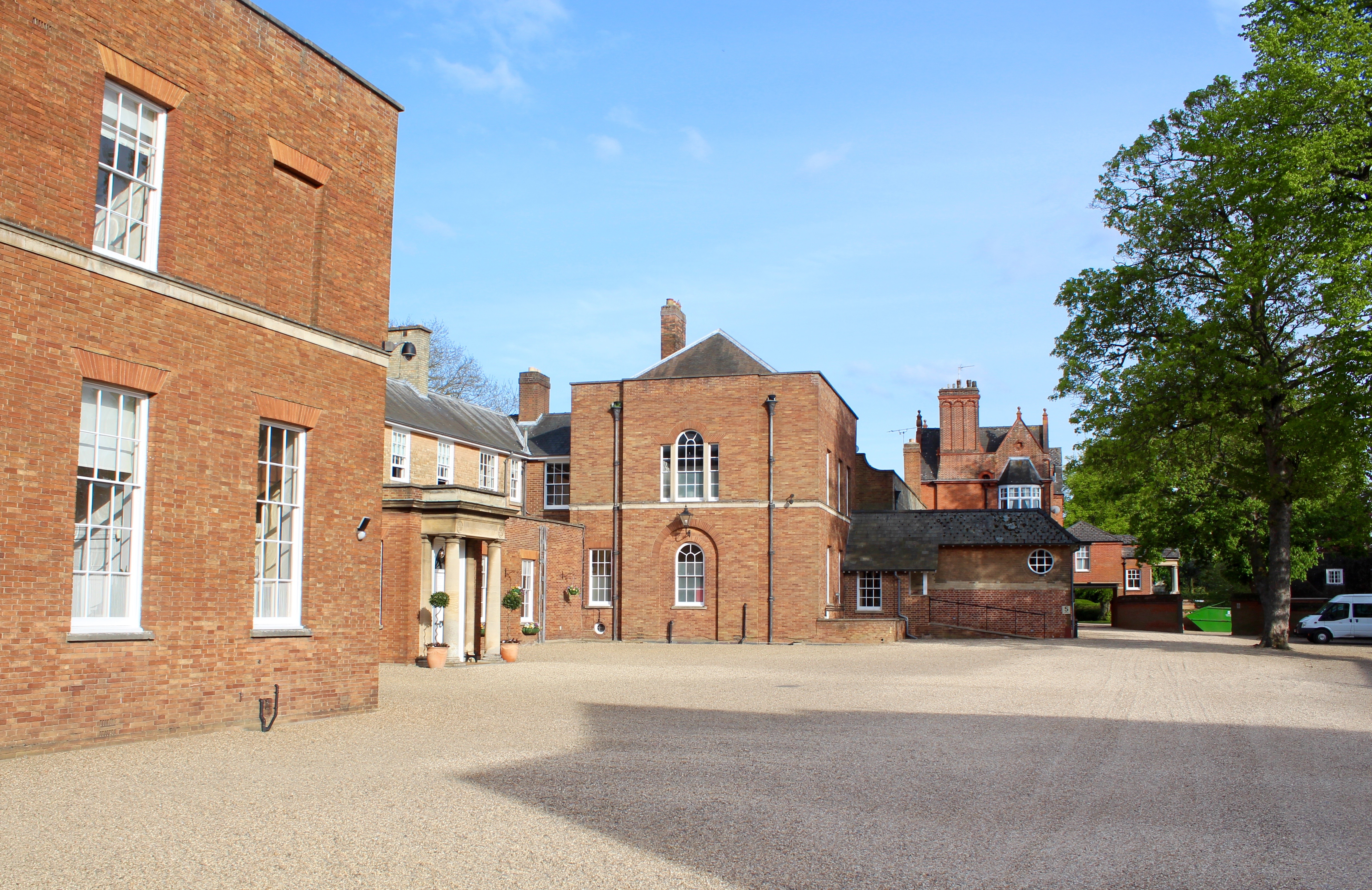
Weston Colville is a village in South Cambridgeshire, 10 miles southeast of Cambridge and 6 miles south of Newmarket, close to the border with Suffolk. History The parish of Weston Colville forms a long thin area of 3235 acres stretching from just south of the A11 to the Suffolk border. It is wedged between the parishes of Carlton-cum-Willingham to the north and West Wratting to the south, and has a short border with both Great Wilbraham and Little Wilbraham to the northwest. The site has been occupied since at least the 10th century, and there were 40 residents registered at the time of the Domesday Book. By 1150 the manor was owned by the Stutville family. After the death of Anselm de Stutville in around 1198, the land passed to his sister Beatrice, who married William de Colville, lord of Castle Bytham in around 1200. From then until 1708 the manor remained in the hands of the Colville family, who added their name to the village which was hitherto known only as Weston (me ... [...More Info...] [...Related Items...] OR: [Wikipedia] [Google] [Baidu] |
Cambridgeshire
Cambridgeshire (abbreviated Cambs.) is a Counties of England, county in the East of England, bordering Lincolnshire to the north, Norfolk to the north-east, Suffolk to the east, Essex and Hertfordshire to the south, and Bedfordshire and Northamptonshire to the west. The city of Cambridge is the county town. Following the Local Government Act 1972 restructuring, modern Cambridgeshire was formed in 1974 through the amalgamation of two administrative counties: Cambridgeshire and Isle of Ely, comprising the Historic counties of England, historic county of Cambridgeshire (including the Isle of Ely); and Huntingdon and Peterborough, comprising the historic county of Huntingdonshire and the Soke of Peterborough, historically part of Northamptonshire. Cambridgeshire contains most of the region known as Silicon Fen. The county is now divided between Cambridgeshire County Council and Peterborough City Council, which since 1998 has formed a separate Unitary authorities of England, unita ... [...More Info...] [...Related Items...] OR: [Wikipedia] [Google] [Baidu] |
South Cambridgeshire
South Cambridgeshire is a local government district of Cambridgeshire, England, with a population of 162,119 at the 2021 census. It was formed on 1 April 1974 by the merger of Chesterton Rural District and South Cambridgeshire Rural District. It completely surrounds the city of Cambridge, which is administered separately from the district by Cambridge City Council. ''Southern Cambridgeshire'', including both the district of South Cambridgeshire and the city of Cambridge, has a population of over 281,000 (including students) and an area of 1,017.28 km square. On the abolition of South Herefordshire and Hereford districts to form the unitary Herefordshire in 1998, South Cambridgeshire became the only English district to completely encircle another. The district's coat of arms contains a tangential reference to the coat of arms of the University of Cambridge by way of the coat of arms of Cambridge suburb Chesterton. The motto, , means "Not Without Work" (or effort) in pre-s ... [...More Info...] [...Related Items...] OR: [Wikipedia] [Google] [Baidu] |
Cambridge
Cambridge ( ) is a university city and the county town in Cambridgeshire, England. It is located on the River Cam approximately north of London. As of the 2021 United Kingdom census, the population of Cambridge was 145,700. Cambridge became an important trading centre during the Roman and Viking ages, and there is archaeological evidence of settlement in the area as early as the Bronze Age. The first town charters were granted in the 12th century, although modern city status was not officially conferred until 1951. The city is most famous as the home of the University of Cambridge, which was founded in 1209 and consistently ranks among the best universities in the world. The buildings of the university include King's College Chapel, Cavendish Laboratory, and the Cambridge University Library, one of the largest legal deposit libraries in the world. The city's skyline is dominated by several college buildings, along with the spire of the Our Lady and the English Martyrs ... [...More Info...] [...Related Items...] OR: [Wikipedia] [Google] [Baidu] |
Newmarket, Suffolk
Newmarket is a market town and civil parish in the West Suffolk district of Suffolk, England. Located (14 miles) west of Bury St Edmunds and (14 miles) northeast of Cambridge. It is considered the birthplace and global centre of thoroughbred horse racing. It is a major local business cluster, with annual investment rivalling that of the Cambridge Science Park, the other major cluster in the region. It is the largest racehorse training centre in Britain, the largest racehorse breeding centre in the country, home to most major British horseracing institutions, and a key global centre for horse health. Two Classic races, and an additional three British Champions Series races are held at Newmarket every year. The town has had close royal connections since the time of James I, who built a palace there, and was also a base for Charles I, Charles II, and most monarchs since. Elizabeth II visited the town often to see her horses in training. Newmarket has over fifty horse training stabl ... [...More Info...] [...Related Items...] OR: [Wikipedia] [Google] [Baidu] |
Suffolk
Suffolk () is a ceremonial county of England in East Anglia. It borders Norfolk to the north, Cambridgeshire to the west and Essex to the south; the North Sea lies to the east. The county town is Ipswich; other important towns include Lowestoft, Bury St Edmunds, Newmarket, and Felixstowe which has one of the largest container ports in Europe. The county is low-lying but can be quite hilly, especially towards the west. It is also known for its extensive farming and has largely arable land with the wetlands of the Broads in the north. The Suffolk Coast & Heaths and Dedham Vale are both nationally designated Areas of Outstanding Natural Beauty. History Administration The Anglo-Saxon settlement of Suffolk, and East Anglia generally, occurred on a large scale, possibly following a period of depopulation by the previous inhabitants, the Romanised descendants of the Iceni. By the fifth century, they had established control of the region. The Anglo-Saxon inhabitants later b ... [...More Info...] [...Related Items...] OR: [Wikipedia] [Google] [Baidu] |
A11 Road (England)
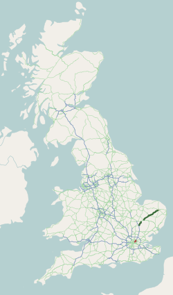
The A11 is a major trunk road in England. It runs roughly north east from London to Norwich, Norfolk, although after the M11 opened in the 1970s and then the A12 extension in 1999, a lengthy section has been downgraded between the suburbs of east London and the north-west corner of the county of Essex. It also multiplexes/overlaps with the A14 on the Newmarket bypass. Route City of London All this part has been declassified and is now a minor road. Thus the A11 now starts at Aldgate, just inside the eastern boundary of the City of London. The first stretch is Whitechapel High Street, east of the junction with Mansell Street. In a complex reworking of the roads since the days of the Aldgate gyratory system, it is two-way, but the east-bound section is part of the ring-road that retained a one-way system south of this junction, but the west-bound section is for local access and you have to U-turn to avoid entering the congestion charging zone. Tower Hamlets East of Aldgate ... [...More Info...] [...Related Items...] OR: [Wikipedia] [Google] [Baidu] |
West Wratting
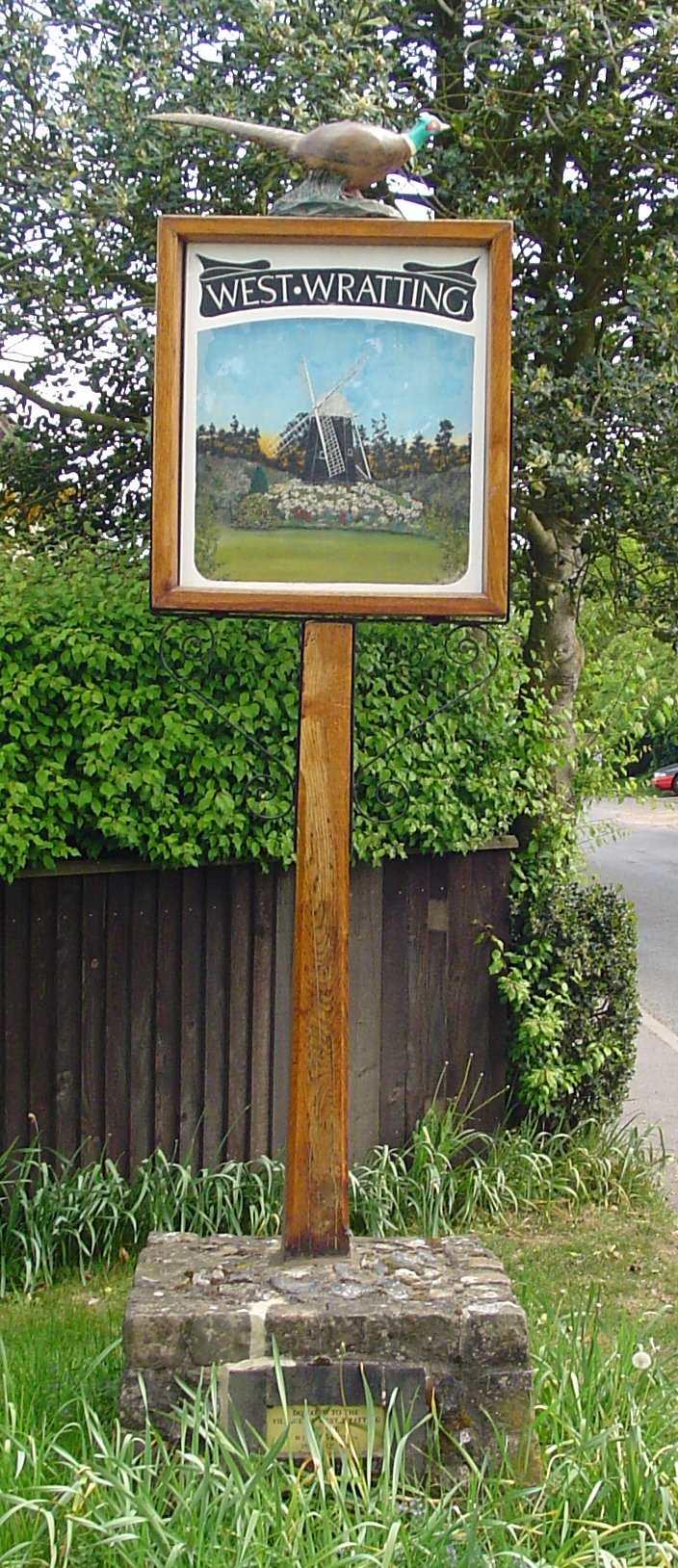
West Wratting is a village and civil parish 10 miles southeast of Cambridge in Cambridgeshire. At above sea level, it can claim to be one of the highest villages in Cambridgeshire. The parish covers 3,543 acres in south east Cambridge, a thin strip, less than two miles wide, stretching from the London to Newmarket road to the border with Suffolk. Much of its western border follows the Fleam Dyke. It is bordered by Weston Colville to the north and east, and by Balsham and West Wickham to the south. History The parish is believed to have been formed as an offshoot of Great Wratting in Suffolk. Land at the village is recorded in the Domesday Book (1086) as belonging to one Harduin de Scalers. The same family owned the land until it was granted by Stephen de Scalariis and his wife, Juliana, to the Nunnery of St Mary and St Radegund, Cambridge, on the placement there of their daughter Sibil before 1161. It houses a smock mill dated to 1726, the oldest confirmed in the country. ... [...More Info...] [...Related Items...] OR: [Wikipedia] [Google] [Baidu] |
Great Wilbraham
Great Wilbraham is a small village situated in a rural area some seven miles (11 km) to the east of Cambridge, between the edge of an area of low-lying drained fens to the west and north, and higher ground beyond the A11 to the east. The administrative authorities are Cambridgeshire County Council, South Cambridgeshire District Council, and Great Wilbraham Parish Council. History The parish of Great Wilbraham has been occupied for thousands of years; a Neolithic camp was excavated in the west of the parish in 1976, and a Bronze Age barrow, where up to eight burials were discovered in 1852, lies alongside the Fleam Dyke in the southern corner of the parish. A possible Roman dwelling was also located in woodlands. The medieval history of Great Wilbraham is tied up with that of neighbouring Little Wilbraham, and they were first distinguished in the 13th century when it was also known as King's Wilbraham. Listed as ''Wilburgeham'' in the 10th century, and ''Wiborgham'' in the ... [...More Info...] [...Related Items...] OR: [Wikipedia] [Google] [Baidu] |
Little Wilbraham
Little Wilbraham is a village in Cambridgeshire, England, east of Cambridge between the A1303 and the A11. It is in the district of South Cambridgeshire. It is a small village with a population of only 394, increasing to 425 at the 2011 census, and there is little employment within the village. The church of Saint John the Evangelist lies to the east of the village. History Little Wilbraham was an independent village by 1086, known as Little Wilbraham by the 13th century - however also known as 'Little Wilborham' during the early 17th century. In the mid-nineteenth century burials were excavated in the village, dating to the early medieval period, recovering 188 inhumations and 125 cremations, with notable finds including an iron-bound bucket and a horse burial. No ancient woodland was recorded in 1086, but 13 peasants were. The number of landholders increased to c. 40 by 1279. In 1563 there were only 21 families. Under Charles II, there were c. 40 dwellings and 124 adults ... [...More Info...] [...Related Items...] OR: [Wikipedia] [Google] [Baidu] |
Domesday Book
Domesday Book () – the Middle English spelling of "Doomsday Book" – is a manuscript record of the "Great Survey" of much of England and parts of Wales completed in 1086 by order of King William I, known as William the Conqueror. The manuscript was originally known by the Latin name ''Liber de Wintonia'', meaning "Book of Winchester", where it was originally kept in the royal treasury. The '' Anglo-Saxon Chronicle'' states that in 1085 the king sent his agents to survey every shire in England, to list his holdings and dues owed to him. Written in Medieval Latin, it was highly abbreviated and included some vernacular native terms without Latin equivalents. The survey's main purpose was to record the annual value of every piece of landed property to its lord, and the resources in land, manpower, and livestock from which the value derived. The name "Domesday Book" came into use in the 12th century. Richard FitzNeal wrote in the ''Dialogus de Scaccario'' ( 1179) that the book ... [...More Info...] [...Related Items...] OR: [Wikipedia] [Google] [Baidu] |
Castle Bytham
__NOTOC__ Castle Bytham is a village and civil parish of around 300 houses in South Kesteven, Lincolnshire, England. It is located 9 miles (15 km) north of Stamford and 9 miles (15 km) west of Bourne.The population was measured at 768 in 317 households at the 2011 census. At one time the village was an important commercial centre for the surrounding agricultural communities, but it is now largely a dormitory, although a number of farming families remain with a much reduced workforce. History The name 'Bytham' is first recorded in 1067 (as a monastery that rapidly translated to Vaudey Abbey), and comes from the Old English word ''bythme'' meaning ''Valley bottom, broad valley''. In the Domesday survey of 1086 the village was known as ''West Bytham'' as the castle had yet to be built. People have named the river that runs through the village the ''Tham'' or ''Am'' as a back-formation from the village name. Morkery Wood housed a former bomb dump during the Second W ... [...More Info...] [...Related Items...] OR: [Wikipedia] [Google] [Baidu] |
Second World War
World War II or the Second World War, often abbreviated as WWII or WW2, was a world war that lasted from 1939 to 1945. It involved the vast majority of the world's countries—including all of the great powers—forming two opposing military alliances: the Allies and the Axis powers. World War II was a total war that directly involved more than 100 million personnel from more than 30 countries. The major participants in the war threw their entire economic, industrial, and scientific capabilities behind the war effort, blurring the distinction between civilian and military resources. Aircraft played a major role in the conflict, enabling the strategic bombing of population centres and deploying the only two nuclear weapons ever used in war. World War II was by far the deadliest conflict in human history; it resulted in 70 to 85 million fatalities, mostly among civilians. Tens of millions died due to genocides (including the Holocaust), starvation, ma ... [...More Info...] [...Related Items...] OR: [Wikipedia] [Google] [Baidu] |


