|
Westminster Abbey (UK Parliament Constituency)
Westminster Abbey was a constituency in the Parliament of the United Kingdom. It returned one Member of Parliament (MP) to the House of Commons by the first past the post system of election. It was created for the 1918 general election, and included all of the former Westminster constituency, as reduced in area in 1885, apart from its Knightsbridge exclave, plus all of the former Strand constituency. It continued to exist until the 1950 general election, when it was merged with the two-seat City of London constituency to form a single-member seat named Cities of London and Westminster. The seat was sometimes known as the Abbey Division of Westminster or simply Abbey. It was held by the Conservative Party for its entire existence. Boundaries The City of Westminster is a district of Inner London. Its southern boundary is on the north bank of the River Thames. In 1918 it was to the west of the City of London, to the south of Holborn and St. Pancras and to the east of Kens ... [...More Info...] [...Related Items...] OR: [Wikipedia] [Google] [Baidu] |
1918 United Kingdom General Election
The 1918 United Kingdom general election was called immediately after the Armistice with Germany which ended the First World War, and was held on Saturday, 14 December 1918. The governing coalition, under Prime Minister David Lloyd George, sent letters of endorsement to candidates who supported the coalition government. These were nicknamed "Coalition Coupons", and led to the election being known as the "coupon election". The result was a massive landslide in favour of the coalition, comprising primarily the Conservatives and Coalition Liberals, with massive losses for Liberals who were not endorsed. Nearly all the Liberal MPs without coupons were defeated, including party leader H. H. Asquith. It was the first general election to include on a single day all eligible voters of the United Kingdom, although the vote count was delayed until 28 December so that the ballots cast by soldiers serving overseas could be included in the tallies. It resulted in a landslide victory for t ... [...More Info...] [...Related Items...] OR: [Wikipedia] [Google] [Baidu] |
River Thames
The River Thames ( ), known alternatively in parts as the The Isis, River Isis, is a river that flows through southern England including London. At , it is the longest river entirely in England and the Longest rivers of the United Kingdom, second-longest in the United Kingdom, after the River Severn. The river rises at Thames Head in Gloucestershire, and flows into the North Sea near Tilbury, Essex and Gravesend, Kent, via the Thames Estuary. From the west it flows through Oxford (where it is sometimes called the Isis), Reading, Berkshire, Reading, Henley-on-Thames and Windsor, Berkshire, Windsor. The Thames also drains the whole of Greater London. In August 2022, the source of the river moved five miles to beyond Somerford Keynes due to the heatwave in July 2022. The lower reaches of the river are called the Tideway, derived from its long tidal reach up to Teddington Lock. Its tidal section includes most of its London stretch and has a rise and fall of . From Oxford to th ... [...More Info...] [...Related Items...] OR: [Wikipedia] [Google] [Baidu] |
William Burdett-Coutts
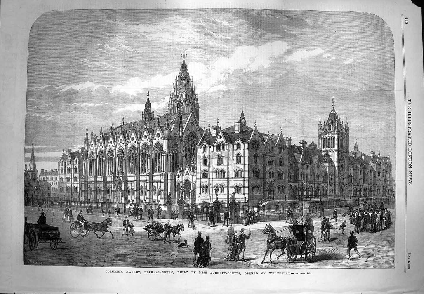
William Lehman Ashmead Bartlett Burdett-Coutts (20 January 1851 – 28 July 1921), born William Lehman Ashmead-Bartlett, was an American-born British Conservative politician and social climber who sat in the House of Commons from 1885 to 1921. Life Ashmead-Bartlett was born in New Brunswick, New Jersey, United States, the son of Ellis Bartlett of Plymouth, Massachusetts, United States, and his wife Sophia Ashmead, daughter of John King Ashmead of Philadelphia. All his grandparents were British subjects and he was the younger brother of Ellis Ashmead-Bartlett. After his father's death in 1852 the family moved to England, and he was educated at Torquay and at Cholmeley's School, Highgate. He entered Keble College, Oxford in 1870 with a 1st Scholarship, graduating in 1875 with a BA ( MA 1876). Ashmead-Bartlett was secretary to the philanthropist Baroness Burdett-Coutts. He owned the Columbia Market (built in 1869 by Baroness Burdett-Coutts), and in connection with this, he b ... [...More Info...] [...Related Items...] OR: [Wikipedia] [Google] [Baidu] |
Liberal Party (UK)
The Liberal Party was one of the two Major party, major List of political parties in the United Kingdom, political parties in the United Kingdom, along with the Conservative Party (UK), Conservative Party, in the 19th and early 20th centuries. Beginning as an alliance of Whigs (British political party), Whigs, free trade–supporting Peelites and reformist Radicals (UK), Radicals in the 1850s, by the end of the 19th century it had formed four governments under William Ewart Gladstone, William Gladstone. Despite being divided over the issue of Irish Home Rule Movement, Irish Home Rule, the party returned to government in 1905 and won a landslide victory in the 1906 United Kingdom general election, 1906 general election. Under Prime Minister of the United Kingdom, prime ministers Henry Campbell-Bannerman (1905–1908) and H. H. Asquith (1908–1916), the Liberal Party passed Liberal welfare reforms, reforms that created a basic welfare state. Although Asquith was the Leader of t ... [...More Info...] [...Related Items...] OR: [Wikipedia] [Google] [Baidu] |
Labour Party (UK)
The Labour Party is a political party in the United Kingdom that has been described as an alliance of social democrats, democratic socialists and trade unionists. The Labour Party sits on the centre-left of the political spectrum. In all general elections since 1922, Labour has been either the governing party or the Official Opposition. There have been six Labour prime ministers and thirteen Labour ministries. The party holds the annual Labour Party Conference, at which party policy is formulated. The party was founded in 1900, having grown out of the trade union movement and socialist parties of the 19th century. It overtook the Liberal Party to become the main opposition to the Conservative Party in the early 1920s, forming two minority governments under Ramsay MacDonald in the 1920s and early 1930s. Labour served in the wartime coalition of 1940–1945, after which Clement Attlee's Labour government established the National Health Service and expanded the welfa ... [...More Info...] [...Related Items...] OR: [Wikipedia] [Google] [Baidu] |
Charing Cross
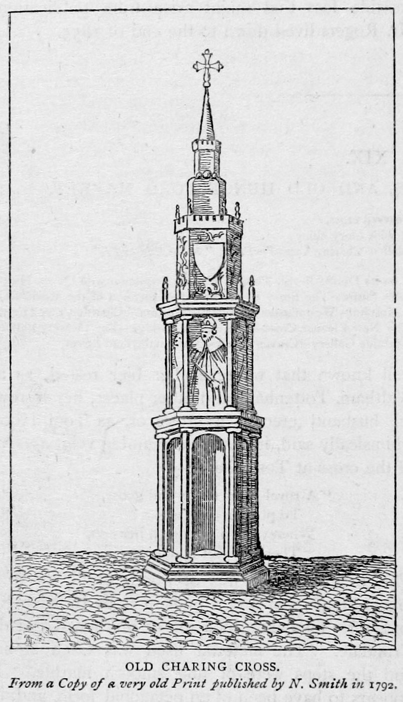
Charing Cross ( ) is a junction in Westminster, London, England, where six routes meet. Clockwise from north these are: the east side of Trafalgar Square leading to St Martin's Place and then Charing Cross Road; the Strand leading to the City; Northumberland Avenue leading to the Thames Embankment; Whitehall leading to Parliament Square; The Mall leading to Admiralty Arch and Buckingham Palace; and two short roads leading to Pall Mall. The name also commonly refers to the Queen Eleanor Memorial Cross at Charing Cross station. A bronze equestrian statue of Charles I, erected in 1675, stands on a high plinth, situated roughly where a medieval monumental cross had previously stood for 353 years (since its construction in 1294) until destroyed in 1647 by Cromwell and his revolutionary government. The famously beheaded King, appearing ascendant, is the work of French sculptor Hubert Le Sueur. The aforementioned eponymous monument, the "Charing Cross", was the largest and most o ... [...More Info...] [...Related Items...] OR: [Wikipedia] [Google] [Baidu] |
Strand, London
Strand (or the Strand) is a major thoroughfare in the City of Westminster, Central London. It runs just over from Trafalgar Square eastwards to Temple Bar, where the road becomes Fleet Street in the City of London, and is part of the A4, a main road running west from inner London. The road's name comes from the Old English ''strond'', meaning the edge of a river, as it historically ran alongside the north bank of the River Thames. The street was much identified with the British upper classes between the 12th and 17th centuries, with many historically important mansions being built between the Strand and the river. These included Essex House, Arundel House, Somerset House, Savoy Palace, Durham House and Cecil House. The aristocracy moved to the West End during the 17th century, and the Strand became known for its coffee shops, restaurants and taverns. The street was a centre point for theatre and music hall during the 19th century, and several venues remain on the St ... [...More Info...] [...Related Items...] OR: [Wikipedia] [Google] [Baidu] |
Pall Mall, London
Pall Mall is a street in the St James's area of the City of Westminster, Central London. It connects St James's Street to Trafalgar Square and is a section of the regional A4 road. The street's name is derived from pall-mall, a ball game played there during the 17th century, which in turn is derived from the Italian ''pallamaglio'', literally ball-mallet. The area was built up during the reign of Charles II with fashionable London residences. It is known for high-class shopping in the 18th century until the present, and gentlemen's clubs in the 19th. The Reform, Athenaeum and Travellers Clubs have survived to the 21st century. The War Office was based on Pall Mall during the second half of the 19th century, and the Royal Automobile Club's headquarters have been on the street since 1908. Geography The street is around long and runs east in the St James's area, from St James's Street across Waterloo Place, to the Haymarket and continues as Pall Mall East ... [...More Info...] [...Related Items...] OR: [Wikipedia] [Google] [Baidu] |
Covent Garden
Covent Garden is a district in London, on the eastern fringes of the West End, between St Martin's Lane and Drury Lane. It is associated with the former fruit-and-vegetable market in the central square, now a popular shopping and tourist site, and with the Royal Opera House, itself known as "Covent Garden". The district is divided by the main thoroughfare of Long Acre, north of which is given over to independent shops centred on Neal's Yard and Seven Dials, while the south contains the central square with its street performers and most of the historical buildings, theatres and entertainment facilities, including the London Transport Museum and the Theatre Royal, Drury Lane. The area was fields until briefly settled in the 7th century when it became the heart of the Anglo-Saxon trading town of Lundenwic, then abandoned at the end of the 9th century after which it returned to fields. By 1200 part of it had been walled off by the Abbot of Westminster Abbey for use as arable l ... [...More Info...] [...Related Items...] OR: [Wikipedia] [Google] [Baidu] |
Metropolitan Borough Of Westminster
The Metropolitan Borough of Westminster was a metropolitan borough in the County of London, England, from 1900 to 1965. City status By royal charter dated 29 October 1900, the borough was granted the title City of Westminster. Westminster had originally been created a city and seat of the short-lived Diocese of Westminster in 1541. The diocese was suppressed in 1550, but the area was still known as a "city", although without official sanction. Arms and motto The arms of Westminster represent two monarchs, closely associated with the City. Edward the Confessor, who rebuilt the church of St Peter (Westminster Abbey), and Henry VII, who added a chapel, within the Abbey. The portcullis and rose emblems are derived from the Tudor dynasty, from which Westminster first achieved its status; and they appear throughout many public and religious buildings in Westminster, and the portcullis was adopted by the House of Commons. The supporting lions are adopted from the Cecil family, who hav ... [...More Info...] [...Related Items...] OR: [Wikipedia] [Google] [Baidu] |
Chelsea, London
Chelsea is an affluent area in west London, England, due south-west of Charing Cross by approximately 2.5 miles. It lies on the north bank of the River Thames and for postal purposes is part of the south-western postal area. Chelsea historically formed a manor and parish in the Ossulstone hundred of Middlesex, which became the Metropolitan Borough of Chelsea in 1900. It merged with the Metropolitan Borough of Kensington, forming the Royal Borough of Kensington and Chelsea upon the creation of Greater London in 1965. The exclusivity of Chelsea as a result of its high property prices historically resulted in the coining of the term "Sloane Ranger" in the 1970s to describe some of its residents, and some of those of nearby areas. Chelsea is home to one of the largest communities of Americans living outside the United States, with 6.53% of Chelsea residents having been born in the U.S. History Early history The word ''Chelsea'' (also formerly ''Chelceth'', ''Chelchith' ... [...More Info...] [...Related Items...] OR: [Wikipedia] [Google] [Baidu] |
Kensington
Kensington is a district in the Royal Borough of Kensington and Chelsea in the West End of London, West of Central London. The district's commercial heart is Kensington High Street, running on an east–west axis. The north-east is taken up by Kensington Gardens, containing the Albert Memorial, the Serpentine Gallery and John Hanning Speke, Speke's monument. South Kensington and Gloucester Road, London, Gloucester Road are home to Imperial College London, the Royal College of Music, the Royal Albert Hall, Natural History Museum, London, Natural History Museum, Victoria and Albert Museum, and Science Museum, London, Science Museum. The area is also home to many embassies and consulates. Name The Manorialism, manor of ''Chenesitone'' is listed in the Domesday Book of 1086, which in the Old English language, Anglo-Saxon language means "Chenesi's List of generic forms in place names in Ireland and the United Kingdom, ton" (homestead/settlement). One early spelling is ''Kesyngton ... [...More Info...] [...Related Items...] OR: [Wikipedia] [Google] [Baidu] |


.png)

.jpg)

_(cropped).jpg)
.jpg)
