|
Westendorf, Tyrol
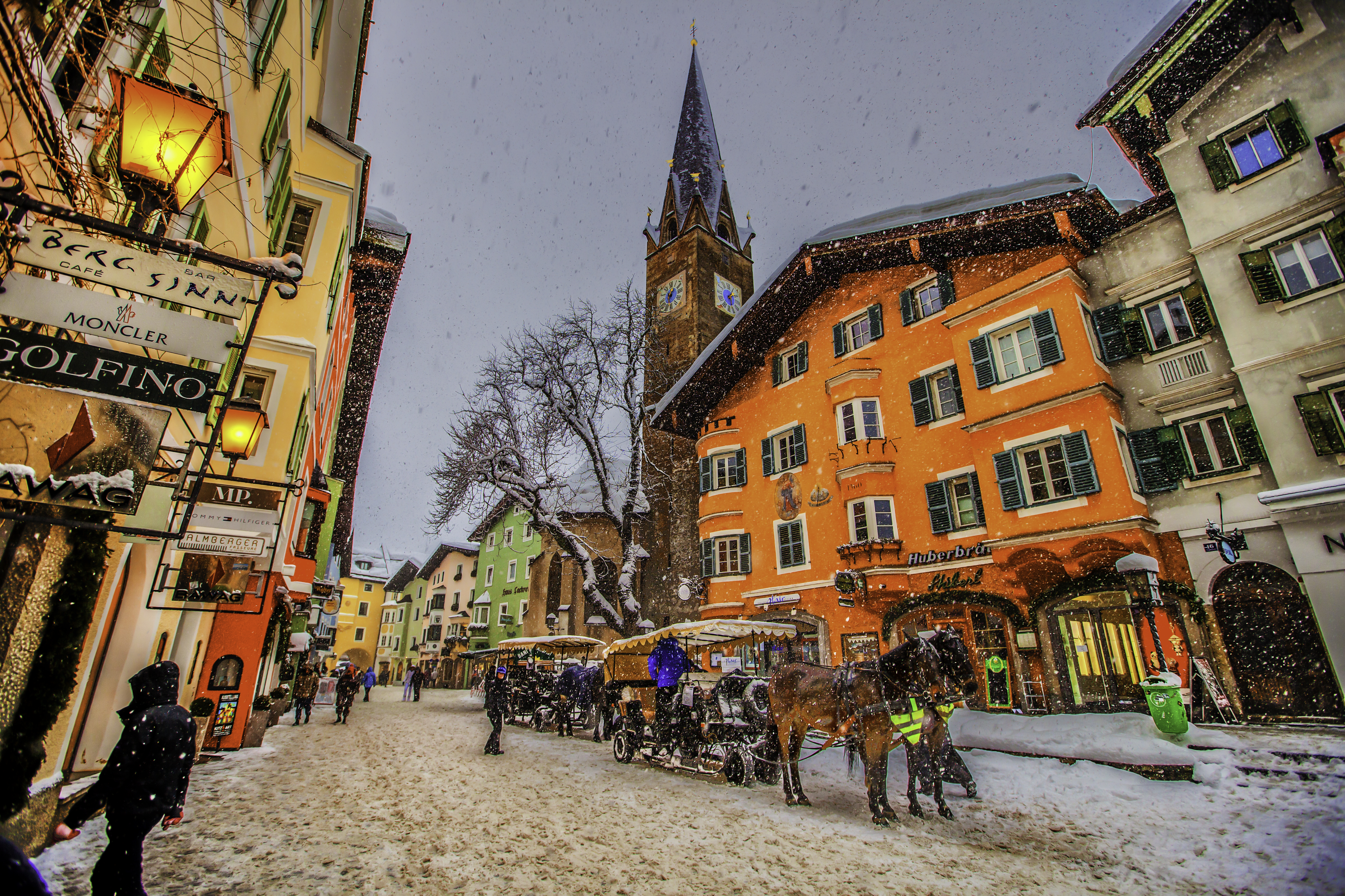
Westendorf is a municipality in the Kitzbühel district in the Austrian state of Tyrol located 13.7 km west of Kitzbühel and 12 km southeast of Wörgl in the Brixental valley. The community is a popular ski resort as well as a popular location for Summer tourism especially for excursions and walking-tours. Westendorf was mentioned for the first time in documents in 1234. It has 21 village parts. Geography Westendorf lies on a sunny terrace of the Brixental valley, at the foot of the Choralpe. The parish consists of a clustered village (''Haufendorf'') and other hamlets and farmsteads in the surrounding area, as well as an industrial estate. To the south the Windautal, a popular recreation area, branches off. A large part of the parish is wooded or used for agricultural purposes. Rivers: The Brixentaler Ache and the Windauer Ache flow through the parish. Mountains: Important mountains are the Hohe Salve (1,828m), the Steinbergstein (2,215m), the Kröndlhorn (2,444m) ... [...More Info...] [...Related Items...] OR: [Wikipedia] [Google] [Baidu] |
Austria
Austria, , bar, Östareich officially the Republic of Austria, is a country in the southern part of Central Europe, lying in the Eastern Alps. It is a federation of nine states, one of which is the capital, Vienna, the most populous city and state. A landlocked country, Austria is bordered by Germany to the northwest, the Czech Republic to the north, Slovakia to the northeast, Hungary to the east, Slovenia and Italy to the south, and Switzerland and Liechtenstein to the west. The country occupies an area of and has a population of 9 million. Austria emerged from the remnants of the Eastern and Hungarian March at the end of the first millennium. Originally a margraviate of Bavaria, it developed into a duchy of the Holy Roman Empire in 1156 and was later made an archduchy in 1453. In the 16th century, Vienna began serving as the empire's administrative capital and Austria thus became the heartland of the Habsburg monarchy. After the dissolution of the H ... [...More Info...] [...Related Items...] OR: [Wikipedia] [Google] [Baidu] |
Kitzbühel
Kitzbühel (, also: ; ) is a medieval town situated in the Kitzbühel Alps along the river Kitzbüheler Ache in Tyrol, Austria, about east of the state capital Innsbruck and is the administrative centre of the Kitzbühel district (). Kitzbühel is one of the most famous and exclusive ski resorts in the world. It is frequented primarily by the international high society and has the most expensive real estate in Austria. The proximity to Munich has made it a preferred location for vacation homes among the German elite. Geography Kitzbühel is situated in the Kitzbühel Alps between Zell am See and Innsbruck. It lies in the Leukental valley on the Kitzbüheler Ache river. The town is subdivided into the municipalities of Am Horn, Aschbachbichl, Badhaussiedlung, Bichlach, Ecking, Felseneck, Griesenau, Griesenauweg, Gundhabing, Hagstein, Hausstatt, Henntal, Jodlfeld, Kaps, Mühlau, Obernau, Schattberg, Seereith, Siedlung Frieden, Am Sonnberg, Sonnenhoffeld, Staudach, Stockerdör ... [...More Info...] [...Related Items...] OR: [Wikipedia] [Google] [Baidu] |
Brechhorn
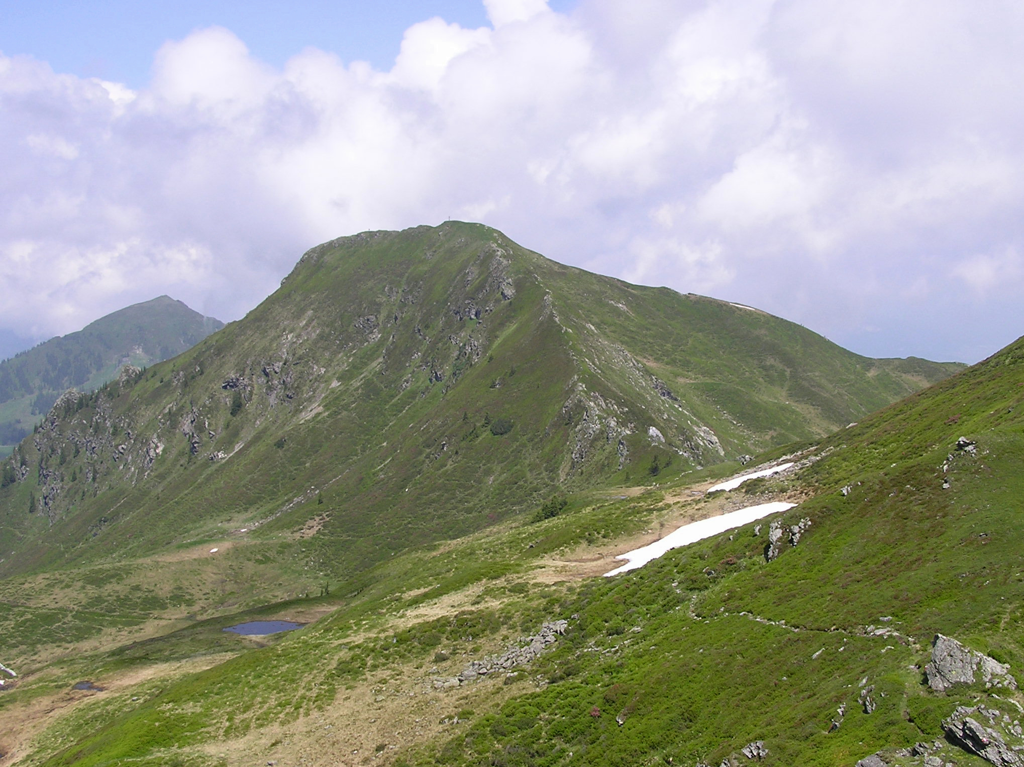
The Brechhorn is a high mountain in the Kitzbühel Alps in Austria. It lies between the valleys of the ''Aschauer Ache'' and the Windau.Austrian Map Series (''Österreichische Karte'') 1:50.000 (ÖK 50) - seAMAP Online Use The upper slopes of the mountain are used to some extent as grazing for sheep, goats, cows and horses. No ski lifts, material ropeways or motor vehicle tracks run beyond the ''Brechhornhaus'' (1,660 m) which means that the scenery during an ascent of the mountain is largely unspoilt. Ascent The most commonly used bases for an ascent of the Brechhorn are Aschau and Westendorf. The trails are all marked and, in places, well-signposted. From Westendorf, hikers catch the ''Alpenrosenbahn'' cableway on the ''Nachtsöllberg'' to the 1,760 m high ''Talkaser'' and can then reach the ''Brechhornhaus'' quickly over two routes (east and west of the ''Fleiding'' peak). The house lies on the Kreuzjoch between the ''Gampenkogel'' and the Brechhorn, and is ... [...More Info...] [...Related Items...] OR: [Wikipedia] [Google] [Baidu] |
Kröndlhorn
The Kröndlhorn is a high mountain in the Kitzbühel Alps in Austria. It is one of the highest mountains on the main crest of the Kitzbühel Alps. The state border between Tyrol and Salzburger Land runs over its summit. Location The Kröndlhorn rises north of the Salzach valley, southeast of the Kelchsau valley and southwest of the Windau valley. A secondary ridge to the main crest of the Kitzbühel Alps runs from the summit of the Kröndelhorn northwards in a curve. This ridge surrounds the cirque in which the mountain lake of the Reinkarsee has formed, at a height of 2,134 m. This cirque is the main source region of the Windauer Ache stream. In front of the summit of the Kröndlhorn to the north is another peak, the Kröndlberg, only four metres lower, which looks like the actual summit when approaching from the north. Summit On the summit of the Kröndlhorn is a small chapel that only accommodates two people. It contains a stamp and a summit register. On the inte ... [...More Info...] [...Related Items...] OR: [Wikipedia] [Google] [Baidu] |
Steinbergstein
The Steinbergstein is a mountain, ({{convert, 2215, m, ft, disp=output only, abbr=on) high, in the Kitzbühel Alps in Austria. Location The Steinbergstein rises between the valleys of the Windauer Ache and the ''Kelchsauer Ache''. The cirque between the north face of the Steinbergstein, the ''Ramkarkopf'' (2,063 m) and the ''Steinberg'' (1,886 m), which is rich in springs, forms the ''Steinberggraben'' stream that empties into the Windauer Ache river. The source of the Trattenbach stream lies to the south of the ''Steinberg'', feeding the ''Kurze Grundache'', a tributary of the ''Kelchsauer Ache''. Use Above the tree line the open slopes are used as grazing grounds for sheep, goats, cows and horses. In summer, flocks of sheep are especially common around the summit. A material ropeway runs from the Gamskogel Hut to the ''Lagfelden Alm''. The hiking trails are all marked with tree-mounted and ground-based signs. Ascent From Kelchsau the route runs along the track ... [...More Info...] [...Related Items...] OR: [Wikipedia] [Google] [Baidu] |
Hohe Salve
The Hohe Salve is a well-known mountain located between Kufstein, Wörgl and Kitzbühel in the Austrian state of Tyrol. It is part of the Kitzbühel Alps and is also nicknamed ''the Rigi of the Tyrol''. Its summit is high,Austrian Map online 1:50.000 (ÖK 50) by the BEV and in fine weather has a good view of the and , as well as the |
Windauer Ache
The Windauer Ache is a mountain stream in Tyrol (state), Tyrol, Austria, in the scenic Windautal valley in the Kitzbühel Alps. The Ache rises on the Reinkarsee at about , at the foot of the Kröndlhorn, and its middle reaches run through a roughly long gorge. In Hopfgarten im Brixental, Hopfgarten the Windauer Ache discharges into the Brixentaler Ache at a narrow point in the valley; the Brixentaler Ache in turn empties into the Inn (river), River Inn at Wörgl. The Ache flows through the municipalities of Westendorf, Tyrol, Westendorf and Hopfgarten im Brixental, Hopfgarten. The Windauer Ache is very popular for whitewater canoeing (grade WW II to WW V). File:Reinkarsee_050924.jpg, The source region on the Rainkarsee File:Windauer-Ache.jpg, The Ache downstream File:Brixental3.jpg, The large weir of Brixentaler Ache near its confluence with the Windauer Ache in Hopfgarten High water At the end of July 2006, a severe storm caused enormous damage throughout the entire Winda ... [...More Info...] [...Related Items...] OR: [Wikipedia] [Google] [Baidu] |
Brixentaler Ache
The Brixentaler Ache is river of Tyrol, Austria, a right tributary of the Inn. It passes through the districts of Kitzbühel and Kufstein. It is one of the largest tributaries of the Inn in the Tyrolean Unterland by catchment area (), but is only long. Course The Brixentaler Ache rises as the Brixenbach in the territory of Brixen im Thale and flows westwards through the Brixental, a southeastern valley of the Lower Inn Valley. Between Westendorf and Hopfgarten im Brixental (the main village in the valley) the valley floor narrows. Immediately after this bottleneck the Windauer Ache joins the Brixenbach from the south. From this confluence the Brixenbach is known as the Brixentaler Ache. After about one kilometre the larger Kelchsauer Ache (also from the south) joins the river. The long Kelchsauer Ache drains the entire Kelchsau area. Between Hopfgarten and the section of river forming the boundary between Kirchbichl and Wörgl, the Ache is again forced through a gorge, befor ... [...More Info...] [...Related Items...] OR: [Wikipedia] [Google] [Baidu] |
Windautal
The Windautal is a southern side valley of the Tyrolean Brixental in the Kitzbühel Alps in Austria with a length of about 16 km. The valley is lies almost entirely within the territory of the parish of Westendorf; only its northernmost part lies in Hopfgarten. To the south the valley borders on the state of Salzburg. To the north - near Hopfgarten (623 m) - the Windautal and Brixental valleys merge. The stream of the Windauer Ache flows through the Windau and discharges into the Brixentaler Ache. In the 16th and 17th centuries, copper, galena and pyrites were mined in the valley. The Windautal is a popular recreation area and a particularly good for ski tours, hiking, mountain biking and cycling. The route through the valley along the lower reaches of the Windauer Ache is part of the "Kaiser Circuit (''Kaiser-Runde''), a long distance circular cycleway that starts and ends in Kufstein.Kufsteinerland''Kaiser-Runde''/ref> The Windauer Ache is also popular with whitewate ... [...More Info...] [...Related Items...] OR: [Wikipedia] [Google] [Baidu] |
Haufendorf
A ''Haufendorf'' is an enclosed village with irregular plots of land and farms of greatly differing scale, usually surrounded by a stockade fence (German: ''Ortsetter''). They are typically found in Germany, Austria and Switzerland, whence the name. ''Haufendörfer'' (pl.) differ from most other types of village in that they are irregularly laid out. A large number of ''Haufendörfer'' emerged in connexion with the medieval open field system The open-field system was the prevalent agricultural system in much of Europe during the Middle Ages and lasted into the 20th century in Russia, Iran, and Turkey. Each manor or village had two or three large fields, usually several hundred acre ... (''Gewanneflur''), where each farmer farmed strips of different fields and the location of these field strips continually changed. The district (''Gemarkung'') was divided into the village core (''Dorfkern''), field system (''Ackerflur'') and common pasture (''Allmende''). A ''Haufendorf'' is som ... [...More Info...] [...Related Items...] OR: [Wikipedia] [Google] [Baidu] |
Brixental
The Brixental ("Brixen Valley") is a southeastern side valley of the Tyrolean Lower Inn Valley in Austria with a length of about 30 km (18.6 mi). Near Wörgl (513 m AMSL; 318 mi) the Brixental and Inn valleys meet. The Brixental had belonged to Salzburg since 1312 and first joined Tyrol in 1816 when the new European order came into being. The valley lies in the Kitzbühel Alps and its main river of the valley is the Brixentaler Ache. Behind a gentle mountain saddle near Brixen im Thale it reaches the ski resort of Kitzbühel, which is also the district capital and lies on the federal road (''Bundesstraße'') to Salzburg. Since 1875 the Salzburg-Tyrol Railway has also followed the course of the valley. The landscape of the Brixental is characterised by smooth, mainly wooded mountains. Two peaks almost reach 2,000 metres in height: the Hohe Salve (1,828 m, also called "the Rigi of the Tyrol"), visible from a long way off, and the Gampenkogel (1,957 m) ... [...More Info...] [...Related Items...] OR: [Wikipedia] [Google] [Baidu] |
Wörgl
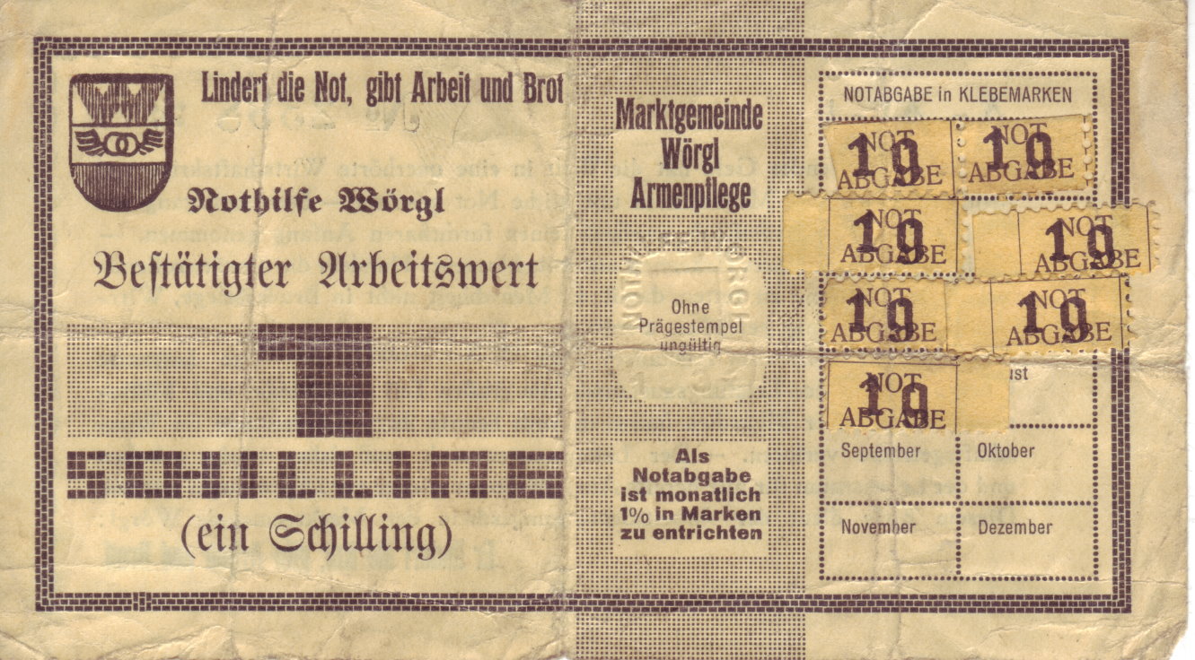
Wörgl () is a city in the Austrian state of Tyrol, in the Kufstein district. It is from the international border with Bavaria, Germany. Population Transport Wörgl is an important railway junction between the line from Innsbruck to Munich, and the inner-Austrian line to Salzburg. Its railway station has been designated as a ''Hauptbahnhof'' (german: main station) since 10 December 2006. European route E641 connects Wörgl with Salzburg, the routes E45 and E60 (Austrian autobahn A12) pass through Wörgl. File:Bahnhof Wörgl alt.jpg, Wörgl railway station in 1900 File:Wörgl Gare 1965.jpg, Wörgl railway station in 1965 History World War II Nearby Itter Castle was the site of one of the last European and most unusual battles of World War II. The Battle for Itter Castle was fought on 5 May 1945 by surrendered Wehrmacht troops, the United States Army, Austrian Resistance fighters and former French political prisoners against the 17th ''Waffen-SS Panzer Grenadier'' Di ... [...More Info...] [...Related Items...] OR: [Wikipedia] [Google] [Baidu] |


