|
West Newton (MBTA Station)
West Newton station is an MBTA Commuter Rail station in Newton, Massachusetts. It serves the Framingham/Worcester Line, and is located inside the Massachusetts Turnpike Exit 16 rotary in the village of West Newton. West Newton has had continuous rail service since 1834. The station consists of a single low side platform serving one of the line's two tracks, with small crossings to access trains on the far track. West Newton is not accessible; a renovation for accessibility is planned. History West Newton was the first terminus of the Boston and Worcester Railroad in April 1834, and one of the first locations in the world from which workers could commute to a city by rail for regular working hours. The Railroad Hotel originally served as the train station. By the late 1840s, a dedicated station building was located on the north side of the tracks just west of Chestnut Street. By the 1870s, West Newton was a flag stop, with a larger station building on the south side of the ... [...More Info...] [...Related Items...] OR: [Wikipedia] [Google] [Baidu] |
Massachusetts Route 16
Route 16 is a east–west state highway in Massachusetts. It begins in the west at an intersection with Route 12 and Route 193 in Webster, just north of the Connecticut state border. It runs in a generally southwest-northeast routing through a number of Boston's suburbs and runs to the west and then north of the city before ending in Revere at an intersection with Route 1A and Route 60. Much of Route 16 east of the Newton- Wellesley town line, and especially from Cambridge eastward, is a multi-lane parkway, although it is not limited access for any significant length of road. Segments of Route 16 are also known as the Mystic Valley Parkway, the Alewife Brook Parkway, and the Revere Beach Parkway, among other names. From the western end of the Route 135 concurrency in Wellesley to Route 30 (Commonwealth Avenue) in Newton, the route serves as a part of the Boston Marathon, from the halfway point to just before Mile 18 and the hills. Route description Webster to Milfo ... [...More Info...] [...Related Items...] OR: [Wikipedia] [Google] [Baidu] |
Train And Stagecoach At West Newton, Circa 1834
In rail transport, a train (from Old French , from Latin , "to pull, to draw") is a series of connected vehicles that run along a railway track and transport people or freight. Trains are typically pulled or pushed by locomotives (often known simply as "engines"), though some are self-propelled, such as multiple units. Passengers and cargo are carried in railroad cars, also known as wagons. Trains are designed to a certain gauge, or distance between rails. Most trains operate on steel tracks with steel wheels, the low friction of which makes them more efficient than other forms of transport. Trains have their roots in wagonways, which used railway tracks and were powered by horses or pulled by cables. Following the invention of the steam locomotive in the United Kingdom in 1804, trains rapidly spread around the world, allowing freight and passengers to move over land faster and cheaper than ever possible before. Rapid transit and trams were first built in the late 1800s t ... [...More Info...] [...Related Items...] OR: [Wikipedia] [Google] [Baidu] |
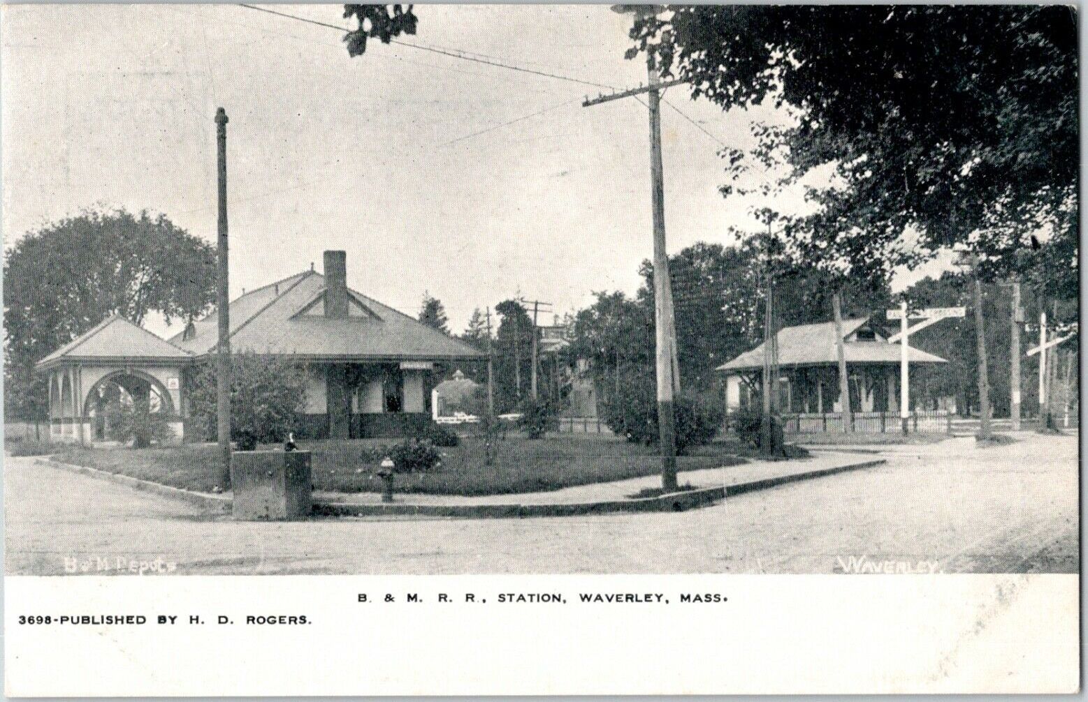
Waverley Station (MBTA)
Waverley station is an MBTA Commuter Rail station in Belmont, Massachusetts. It serves the Fitchburg Line. It is located below grade in Waverley Square in the triangle of Trapelo Road, Lexington Street, and Church Street in western Belmont. History The Fitchburg Railroad opened through Belmont on December 20, 1843, but no station stop at Waverley Square existed until about 1860. Service on the Central Massachusetts Railroad, which ran parallel to the Fitchburg, began in 1881. The two railroads had separate station buildings, both of which remained in use until somewhat after both railroads were consolidated under the Boston and Maine Railroad The Boston and Maine Railroad was a U.S. Class I railroad in northern New England. Originally chartered in 1835, it became part of what was the Pan Am Railways network in 1983 (most of which was purchased by CSX in 2022). At the end of 1970 ... (B&M). The tracks originally ran through the square at grade, with level crossings of Trap ... [...More Info...] [...Related Items...] OR: [Wikipedia] [Google] [Baidu] |
Brandeis/Roberts Station
Brandeis/Roberts is an MBTA Commuter Rail station in Waltham, Massachusetts. It serves the Fitchburg Line and is located on the edge of the campus of Brandeis University. The station is fully accessible, with mini-high platforms serving both tracks. History The Fitchburg Railroad opened from Waltham to Concord on June 17, 1844; however, Roberts station (named for the adjacent neighborhood) was not opened until around 1870. The Boston and Maine Railroad The Boston and Maine Railroad was a U.S. Class I railroad in northern New England. Originally chartered in 1835, it became part of what was the Pan Am Railways network in 1983 (most of which was purchased by CSX in 2022). At the end of 1970 ... (B&M) closed the station building in 1937, but trains continued to stop at the platform. In 1977 or 1978, the station was renamed Brandeis–Roberts (later styled Brandeis/Roberts) to denote the growing university. A $70,000 renovation of the station was completed on December 18, 1 ... [...More Info...] [...Related Items...] OR: [Wikipedia] [Google] [Baidu] |
Waltham Station
Waltham is an MBTA Commuter Rail station in Waltham, Massachusetts. It serves the Fitchburg Line. It is located in downtown Waltham adjacent to Central Square (Waltham Common). History and operations The station has an unusual configuration, similar to Lincoln. There are 2 side platforms, separated by Moody Street: the eastern platform is used for inbound passengers, and the western platform is used for outbound passengers. Most of the station is located on a short single-track section; after double-tracking was completed from South Acton to Willows in 2014, this became the only single-track section of the Fitchburg Line. Elimination of the grade crossings at the station was considered the 1910s, but never constructed. Commuter rail service to Waltham station has remained relatively constant since the MBTA was formed in 1964. However, several nearby stops on the Fitchburg Line and the Central Mass Branch were closed in the early years of the MBTA. The former depot building, wh ... [...More Info...] [...Related Items...] OR: [Wikipedia] [Google] [Baidu] |
Flag Stop
In public transport, a request stop, flag stop, or whistle stop is a stop or station at which buses or trains, respectively, stop only on request; that is, only if there are passengers or freight to be picked up or dropped off. In this way, stops with low passenger counts can be incorporated into a route without introducing unnecessary delay. Vehicles may also save fuel by continuing through a station when there is no need to stop. There may not always be significant savings on time if there is no one to pick up because vehicles going past a request stop may need to slow down enough to be able to stop if there are passengers waiting. Request stops may also introduce extra travel time variability and increase the need for schedule padding. The appearance of request stops varies greatly. Many are clearly signed, but many others rely on local knowledge. Implementations The methods by which transit vehicles are notified that there are passengers waiting to be picked up at a requ ... [...More Info...] [...Related Items...] OR: [Wikipedia] [Google] [Baidu] |
Railroad Hotel
The Railroad Hotel (Seth Davis Tavern) is a building that served as an historic hotel at the triangular lot where Washington Street joins Watertown Street ( Route 16) in the West Newton section of Newton, Massachusetts. Built in 1831, it is the only early building still standing in West Newton's village center. The Railroad Hotel is on the National Register of Historic Places and is a contributing property to the West Newton Village Center Historic District. History The hotel was built in 1831 in a Greek Revival/Federal style by Seth Davis to serve at first as a lodging stop along a stagecoach line that ran from Boston to Worcester. Mr Davis was a teacher, an entrepreneur and a developer who had a big influence on the early community of West Newton. The Seth Davis House. Located nearby on Eden Avenue, is also on the National Register. When the Boston and Worcester Railroad reached West Newton in April 1834, the hotel served as the line's first terminal, and as a transfer point ... [...More Info...] [...Related Items...] OR: [Wikipedia] [Google] [Baidu] |
Boston And Worcester Railroad
The Boston and Albany Railroad was a railroad connecting Boston, Massachusetts to Albany, New York, later becoming part of the New York Central Railroad system, Conrail, and CSX Transportation. The line is currently used by CSX for freight. Passenger service is provided on the line by Amtrak, as part of their ''Lake Shore Limited'' service, and by the MBTA Commuter Rail system, which owns the section east of Worcester and operates it as its Framingham/Worcester Line. History When the Erie Canal opened in 1825, New York City's advantageous water connection through the Hudson River threatened Boston's historical dominance as a trade center. Since the Berkshires made construction of a canal infeasible, Boston turned to the emerging railroad technology for a share of the freight to and from the Midwestern United States. The Boston and Worcester Railroad was chartered June 23, 1831 and construction began in August 1832. The line opened in sections: to West Newton on April 16, ... [...More Info...] [...Related Items...] OR: [Wikipedia] [Google] [Baidu] |
MBTA Accessibility
The Massachusetts Bay Transportation Authority (MBTA) system is mostly but not fully accessible. Like most American mass transit systems, much of the MBTA subway and commuter rail were built before wheelchair access became a requirement under the Americans with Disabilities Act of 1990. The MBTA has renovated most stations to be compliant with the ADA, and all stations built since 1990 are accessible. The MBTA also has a paratransit program, The Ride, which provides accessible vehicles to transport passengers who cannot use the fixed-route system. Much of the MBTA subway system is accessible: all Orange and Red Line stations, and all but one Blue Line station, are accessible. Most of the underground portion of the Green Line is accessible, though only some surface stops are; all but one stop on the Ashmont–Mattapan High-Speed Line are accessible. About three-quarters of the MBTA Commuter Rail system is accessible, including the North Station and South Station terminals. ... [...More Info...] [...Related Items...] OR: [Wikipedia] [Google] [Baidu] |
Newton, Massachusetts
Newton is a city in Middlesex County, Massachusetts, United States. It is approximately west of downtown Boston. Newton resembles a patchwork of thirteen villages, without a city center. According to the 2020 U.S. Census, the population of Newton was 88,923. History Newton was settled in 1630 as part of "the newe towne", which was renamed Cambridge in 1638. Roxbury minister John Eliot persuaded the Native American people of Nonantum, a sub-tribe of the Massachusett led by a sachem named Waban, to relocate to Natick in 1651, fearing that they would be exploited by colonists. Newton was incorporated as a separate town, known as Cambridge Village, on December 15, 1681, then renamed Newtown in 1691, and finally Newton in 1766. It became a city on January 5, 1874. Newton is known as ''The Garden City''. In '' Reflections in Bullough's Pond'', Newton historian Diana Muir describes the early industries that developed in the late 18th and early 19th centuries in a series of mi ... [...More Info...] [...Related Items...] OR: [Wikipedia] [Google] [Baidu] |
West Newton, Massachusetts
West Newton is one of the thirteen villages within the city of Newton in Middlesex County, Massachusetts, United States. Among the oldest of the thirteen Newton villages, the West Newton Village Center is a National Register Historic District. The postal ("Zip") code 02465 roughly matches the village limits. Location West Newton is located in the north central part of Newton and is bordered by the town of Waltham on the north and by the villages of Auburndale on the west, Newton Lower Falls on the extreme southwest, Newtonville on the east, and Waban on the south. Railroad Station The West Newton train stop is located near an inn (now small shops) that served as a stagecoach stop. The original station structure was destroyed in the construction of the Massachusetts Turnpike, although the station itself still exists as a stop on the commuter rail. West Newton Square West Newton Square, the town center of West Newton, is home to many local businesses and venues. These ... [...More Info...] [...Related Items...] OR: [Wikipedia] [Google] [Baidu] |
Massachusetts Turnpike
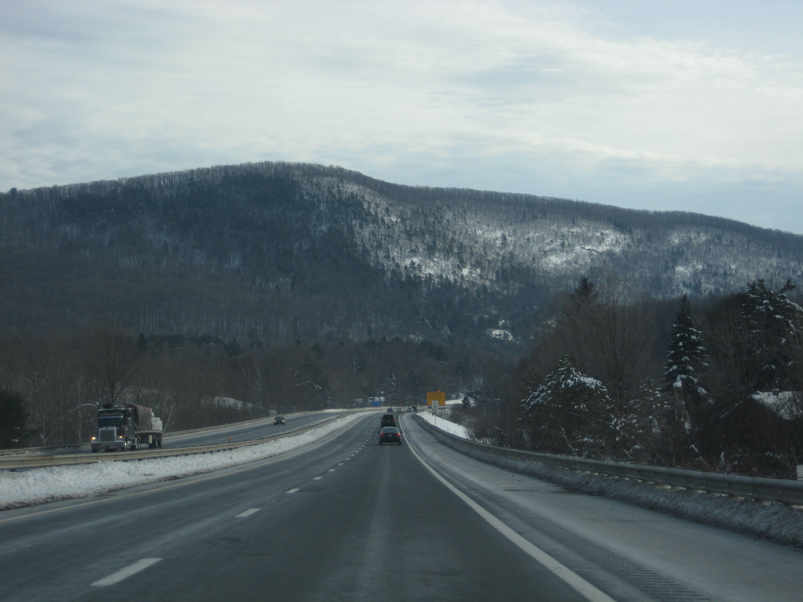
The Massachusetts Turnpike (colloquially "Mass Pike" or "the Pike") is a toll highway in the US state of Massachusetts that is maintained by the Massachusetts Department of Transportation (MassDOT). The turnpike begins at the New York state line in West Stockbridge, linking with the Berkshire Connector portion of the New York State Thruway. Spanning along an east–west axis, the turnpike constitutes the Massachusetts section of Interstate 90 (I-90). The turnpike is the longest Interstate Highway in Massachusetts, while I-90, in full (which begins in Seattle, Washington), is the longest Interstate Highway in the United States. The turnpike opened in 1957, and it was designated as part of the Interstate Highway System in 1959. The original western terminus of the turnpike was located at Route 102 in West Stockbridge before I-90 had been completed in New York state. The turnpike intersects with several Interstate Highways as it traverses the state, including I-9 ... [...More Info...] [...Related Items...] OR: [Wikipedia] [Google] [Baidu] |

.jpg)


