|
Waltham Station
Waltham is an MBTA Commuter Rail station in Waltham, Massachusetts. It serves the Fitchburg Line. It is located in downtown Waltham adjacent to Central Square (Waltham Common). History and operations The station has an unusual configuration, similar to Lincoln. There are 2 side platforms, separated by Moody Street: the eastern platform is used for inbound passengers, and the western platform is used for outbound passengers. Most of the station is located on a short single-track section; after double-tracking was completed from South Acton to Willows in 2014, this became the only single-track section of the Fitchburg Line. Elimination of the grade crossings at the station was considered the 1910s, but never constructed. Commuter rail service to Waltham station has remained relatively constant since the MBTA was formed in 1964. However, several nearby stops on the Fitchburg Line and the Central Mass Branch were closed in the early years of the MBTA. The former depot building, whi ... [...More Info...] [...Related Items...] OR: [Wikipedia] [Google] [Baidu] |
Waltham, Massachusetts
Waltham ( ) is a city in Middlesex County, Massachusetts, United States, and was an early center for the labor movement as well as a major contributor to the American Industrial Revolution. The original home of the Boston Manufacturing Company, the city was a prototype for 19th century industrial city planning, spawning what became known as the Waltham-Lowell system of labor and production. The city is now a center for research and higher education, home to Brandeis University and Bentley University as well as industrial powerhouse Raytheon Technologies. The population was 65,218 at the census in 2020. Waltham has been called "watch city" because of its association with the watch industry. Waltham Watch Company opened its factory in Waltham in 1854 and was the first company to make watches on an assembly line. It won the gold medal in 1876 at the Philadelphia Centennial Exposition. The company produced over 35 million watches, clocks and instruments before it closed in 1957. Histo ... [...More Info...] [...Related Items...] OR: [Wikipedia] [Google] [Baidu] |
Central Massachusetts Railroad
The Central Massachusetts Railroad was a railroad in Massachusetts. The eastern terminus of the line was at North Cambridge Junction where it split off from the Middlesex Central Branch of the Boston and Lowell Railroad in North Cambridge and through which it had access to North Station in Boston. From there, the route ran 98.77 miles west through the modern-day towns of Belmont, Waltham, Weston, Wayland, Massachusetts, Wayland, Sudbury, Massachusetts, Sudbury, Hudson, Massachusetts, Hudson, Bolton, Massachusetts, Bolton, Berlin, Massachusetts, Berlin, Clinton, Massachusetts, Clinton, West Boylston, Massachusetts, West Boylston, Holden, Massachusetts, Holden, Rutland, Massachusetts, Rutland, Oakham, Massachusetts, Oakham, Barre, Massachusetts, Barre, New Braintree, Massachusetts, New Braintree, Hardwick, Massachusetts, Hardwick, Ware, Massachusetts, Ware, Palmer, Massachusetts, Palmer, Belchertown, Massachusetts, Belchertown, Amherst, Massachusetts, Amherst, and Hadley, Mass ... [...More Info...] [...Related Items...] OR: [Wikipedia] [Google] [Baidu] |
Riverside Station (MBTA)
Riverside is the western terminus of the MBTA Green Line D branch (Highland branch) light rail line. It is located at 333 Grove Street, off Exit 38 on Interstate 95 in Massachusetts, Interstate 95 (Massachusetts Route 128, Route 128), in Auburndale, Massachusetts, Auburndale, a village of Newton, Massachusetts. Riverside includes a parking lot with spaces for 925 automobiles and bicycle parking. West of the station is Riverside Yard, the main maintenance facility and largest storage yard for the Green Line. The station is fully accessible. Riverside station is home to a scale model of the dwarf planet Pluto in the Boston Museum of Science, Boston, Museum of Science's community-wide solar system model. History Through 1958, when the Highland branch was served by the New York Central's Boston and Albany Railroad, Riverside station was at the junction between the Highland branch and the B&A main line (now the Framingham/Worcester Line). The Massachusetts Bay Transp ... [...More Info...] [...Related Items...] OR: [Wikipedia] [Google] [Baidu] |
Waverley Station (MBTA)
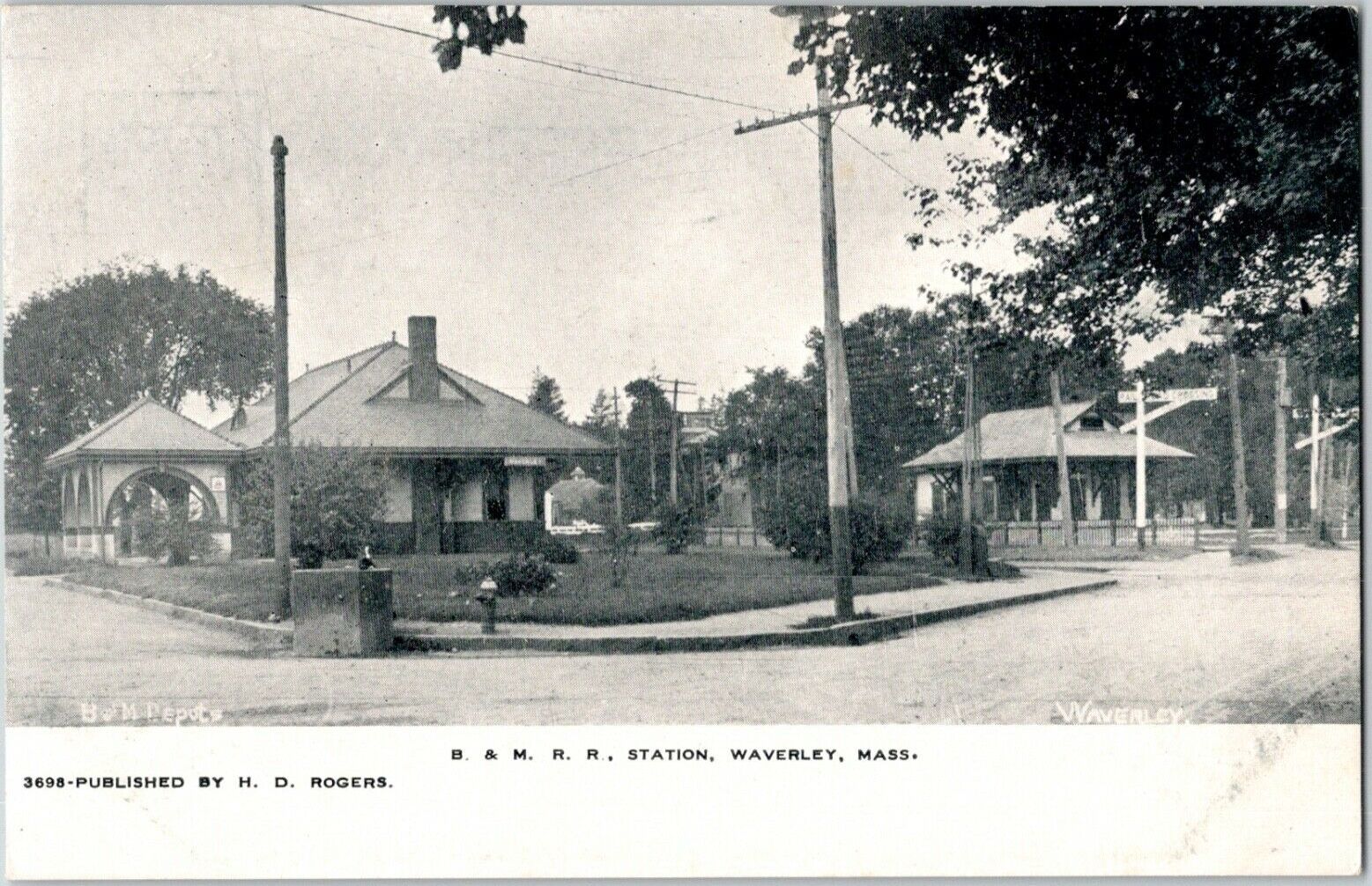
Waverley station is an MBTA Commuter Rail station in Belmont, Massachusetts. It serves the Fitchburg Line. It is located below grade in Waverley Square in the triangle of Trapelo Road, Lexington Street, and Church Street in western Belmont. History The Fitchburg Railroad opened through Belmont on December 20, 1843, but no station stop at Waverley Square existed until about 1860. Service on the Central Massachusetts Railroad, which ran parallel to the Fitchburg, began in 1881. The two railroads had separate station buildings, both of which remained in use until somewhat after both railroads were consolidated under the Boston and Maine Railroad (B&M). The tracks originally ran through the square at grade, with level crossings of Trapelo Road and Lexington Street. In August 1951, the town approved an agreement with the state and the B&M for a $1.125 million state-funded project to lower the tracks to eliminate the crossings. The work was completed in 1952, at which timeCentral Mass ... [...More Info...] [...Related Items...] OR: [Wikipedia] [Google] [Baidu] |
Brandeis/Roberts Station
Brandeis/Roberts is an MBTA Commuter Rail station in Waltham, Massachusetts. It serves the Fitchburg Line and is located on the edge of the campus of Brandeis University. The station is fully accessible, with mini-high platforms serving both tracks. History The Fitchburg Railroad opened from Waltham to Concord on June 17, 1844; however, Roberts station (named for the adjacent neighborhood) was not opened until around 1870. The Boston and Maine Railroad The Boston and Maine Railroad was a U.S. Class I railroad in northern New England. Originally chartered in 1835, it became part of what was the Pan Am Railways network in 1983 (most of which was purchased by CSX in 2022). At the end of 1970, B ... (B&M) closed the station building in 1937, but trains continued to stop at the platform. In 1977 or 1978, the station was renamed Brandeis–Roberts (later styled Brandeis/Roberts) to denote the growing university. A $70,000 renovation of the station was completed on December 18, 19 ... [...More Info...] [...Related Items...] OR: [Wikipedia] [Google] [Baidu] |
University Park At MIT
University Park at MIT is a mixed-use urban renewal project in Cambridge, Massachusetts, United States, occupying land near Central Square between the Massachusetts Institute of Technology (MIT) campus and the primarily residential neighborhood of Cambridgeport. It is a joint project of the City of Cambridge, MIT, and Brookfield Asset Management. It is not part of the MIT campus. History The area presently known as University Park was originally an area of mostly marshy land along the Charles River. During the American Revolutionary War, one area of higher land was the site of a gun battery (now called Fort Washington) erected to guard against British attack during the Siege of Boston. In the 1850s, the Grand Junction Railroad built tracks along what was then the swampy edge of the river. The nearby marshes were landfilled, and the area became home to a number of manufacturing plants. These included the Simplex Wire & Cable Company, the Kennedy Biscuit Company (which is the o ... [...More Info...] [...Related Items...] OR: [Wikipedia] [Google] [Baidu] |
MBTA Route 554 Bus At Waltham Station, April 2016
The Massachusetts Bay Transportation Authority (abbreviated MBTA and known colloquially as "the T") is the public agency responsible for operating most public transportation services in Greater Boston, Massachusetts. The MBTA transit network includes the MBTA subway with three metro lines (the Blue, Orange, and Red lines), two light rail lines (the Green and Ashmont–Mattapan lines), and a five-line bus rapid transit system (the Silver Line); MBTA bus local and express service; the twelve-line MBTA Commuter Rail system, and several ferry routes. In , the system had a ridership of , or about per weekday as of , of which the rapid transit lines averaged and the light rail lines , making it the fourth-busiest rapid transit system and the third-busiest light rail system in the United States. As of , average weekday ridership of the commuter rail system was , making it the sixth-busiest commuter rail system in the U.S. The MBTA is the successor of several previous public ... [...More Info...] [...Related Items...] OR: [Wikipedia] [Google] [Baidu] |
Accessibility
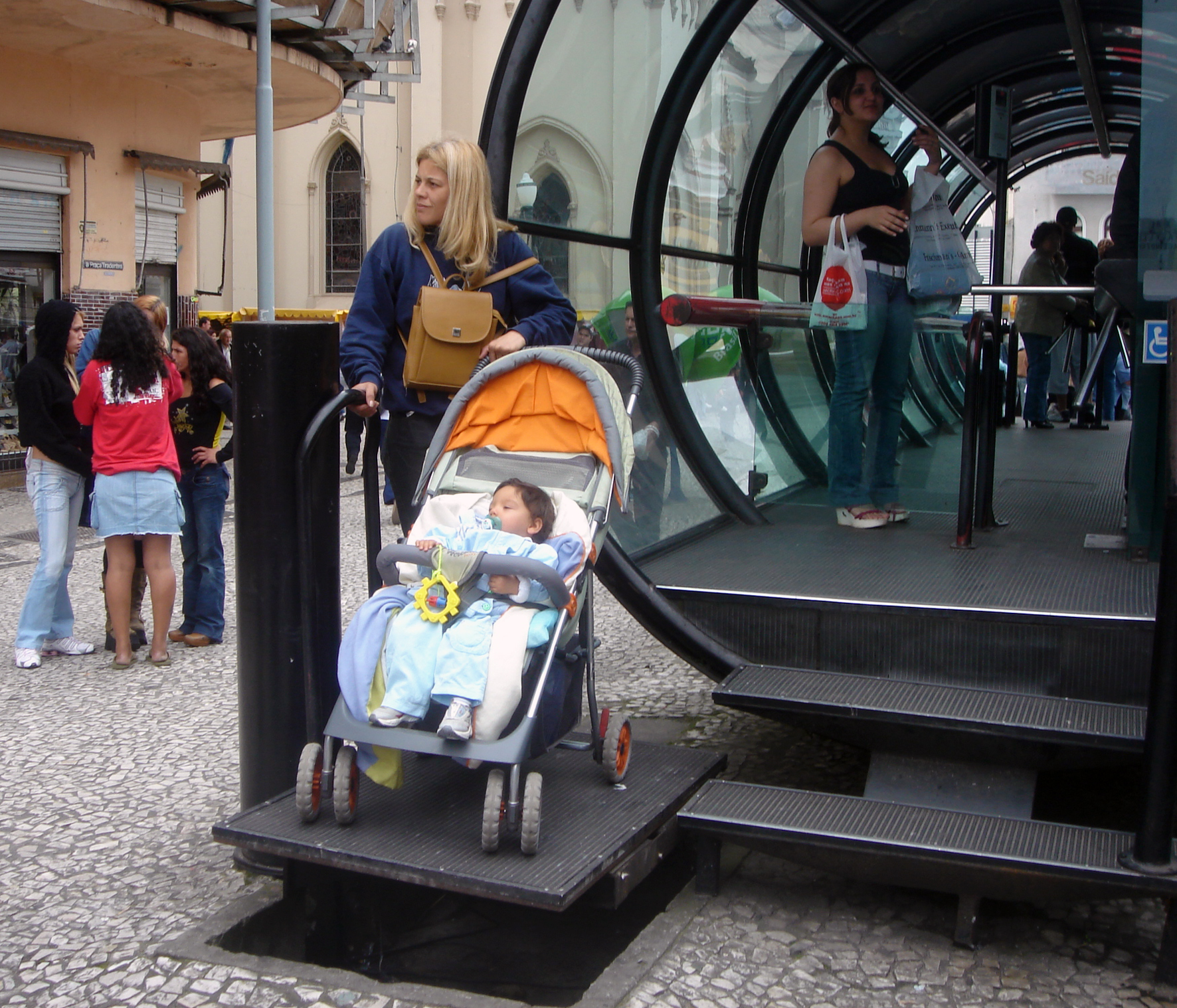
Accessibility is the design of products, devices, services, vehicles, or environments so as to be usable by people with disabilities. The concept of accessible design and practice of accessible development ensures both "direct access" (i.e. unassisted) and "indirect access" meaning compatibility with a person's assistive technology (for example, computer screen readers). Accessibility can be viewed as the "ability to access" and benefit from some system or entity. The concept focuses on enabling access for people with disabilities, or enabling access through the use of assistive technology; however, research and development in accessibility brings benefits to everyone. Accessibility is not to be confused with usability, which is the extent to which a product (such as a device, service, or environment) can be used by specified users to achieve specified goals with effectiveness, efficiency, convenience, or satisfaction in a specified context of use. Accessibility is a ... [...More Info...] [...Related Items...] OR: [Wikipedia] [Google] [Baidu] |
Willows (B&M Station)
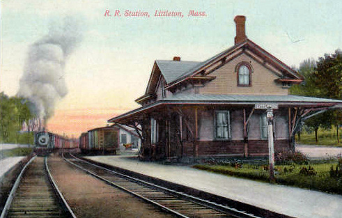
Littleton/Route 495 is an MBTA Commuter Rail station in Littleton, Massachusetts. It serves the Fitchburg Line. The station is located at the intersection of Grimes Lane and Foster Street near Route 2 and I-495 and serves as a park-and-ride station for both highways. A previous station was open at King Street in West Littleton until 1975. Littleton/Route 495 station opened several miles away in 1980 as an inexpensive park-and-ride to gather commuters from the northwest Boston suburbs. In 2011, work began on the construction of a new station, with a full-length handicapped accessible platform and a pedestrian bridge to the parking lot, as part of a larger project to improve the Fitchburg Line. After about 16 months of construction, the new station and pedestrian bridge opened in June 2013. History Littleton Depot The Fitchburg Railroad was extended westward from Cambridge between 1843 and 1845, reaching Littleton around November 1844. Residents at Littleton Common did not like ... [...More Info...] [...Related Items...] OR: [Wikipedia] [Google] [Baidu] |
Fitchburg Line
The Fitchburg Line is a branch of the MBTA Commuter Rail system which runs from Boston's North Station to Wachusett station in Fitchburg, Massachusetts. The line is along the tracks of the former Fitchburg Railroad, which was built across northern Massachusetts, United States, in the 1840s. Winter weekend service includes a specially equipped seasonal "ski train" to Wachusett Mountain . At long, the Fitchburg Line is the second-longest line in the system (and was the longest until the Providence/Stoughton Line's 2010 extension to T. F. Green Airport and later to Wickford Junction), and ranked as one of the worst lines in terms of on-time performance. The Fitchburg Line had the oldest infrastructure in the system, and commuter trains must share trackage with freight trains on the outer segment of the line. A $150 million project completed in 2017 included adding nine miles of double track, an extension to Wachusett, rebuilding two stations, and building a new layover yard. Only ... [...More Info...] [...Related Items...] OR: [Wikipedia] [Google] [Baidu] |
South Acton Station (MBTA)
South Acton is an MBTA Commuter Rail station in Acton, Massachusetts. It serves the Fitchburg Line. It is located off Route 27 near Route 2 in the South Acton area. It is the busiest station on the Fitchburg line, averaging 991 weekday boardings. It serves as a park and ride station for Acton and other suburbs of Boston, with a 287-space parking lot owned by the town. There has been a station on the Fitchburg mainline at the South Acton site since 1844; until 1958 it also served a branch line to Maynard which in earlier years had extended through Hudson to Marlborough. This unused right-of-way became the Assabet River Rail Trail. South Acton has had continuous Boston commuter service since its inception except for five months in 1965 during the transition from fully private railroad operations to state subsidy. As part of a $277 million project upgrading the Fitchburg Line, South Acton station has been completely rebuilt with two handicapped-accessible high-level platforms conne ... [...More Info...] [...Related Items...] OR: [Wikipedia] [Google] [Baidu] |
Lincoln Station (MBTA)
Lincoln station is an MBTA Commuter Rail in Lincoln, Massachusetts. It serves the Fitchburg Line, and is located on Lincoln Road. There has been continuous commuter service to Lincoln since the station stop was established before 1850. A station building formerly stood on the outbound side; it was demolished by 1962. Station layout Lincoln has an unusual configuration, largely unique on the system (though similar to Waltham). The station has two side platforms A side platform (also known as a marginal platform or a single-face platform) is a platform positioned to the side of one or more railway tracks or guideways at a railway station, tram stop, or transitway. A station having dual side platforms ..., both adjacent to the outbound track but on opposite sides of the Lincoln Road grade crossing. Outbound trains stop at the north platform, while inbound trains stop opposite the south platform and passengers use two asphalt crossings to board. The configuration was made to ... [...More Info...] [...Related Items...] OR: [Wikipedia] [Google] [Baidu] |


