|
Warren's Hall Country Park
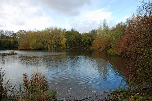
Warren's Hall Country Park (also known as Warren's Hall Local Nature Reserve) is a local nature reserve situated in Sandwell Metropolitan Borough in the West Midlands of England. It lies next to Bumble Hole Local Nature Reserve. It includes ponds, canals, grassland, small wooded areas and the entrance to Netherton Canal Tunnel. History The area comprising the Warren's Hall Local Nature Reserve—like that of its immediate neighbour, the Bumble Hole Local Nature Reserve—was once was a scene of industry, including coal mining. The reserve is laid out partly on farmland and partly on the sites of Windmill Hill and Warren's Hall collieries. The most obvious remains from this period include Cobb's Engine House and the Dudley No. 2 Canal, including the entrance to Netherton Tunnel. The area was declared a local nature reserve in 1996. Location The reserve is to the east of Netherton, about 1.5 miles south of Dudley, on the border with Dudley Metropolitan Borough The Metro ... [...More Info...] [...Related Items...] OR: [Wikipedia] [Google] [Baidu] |
Rowley Regis
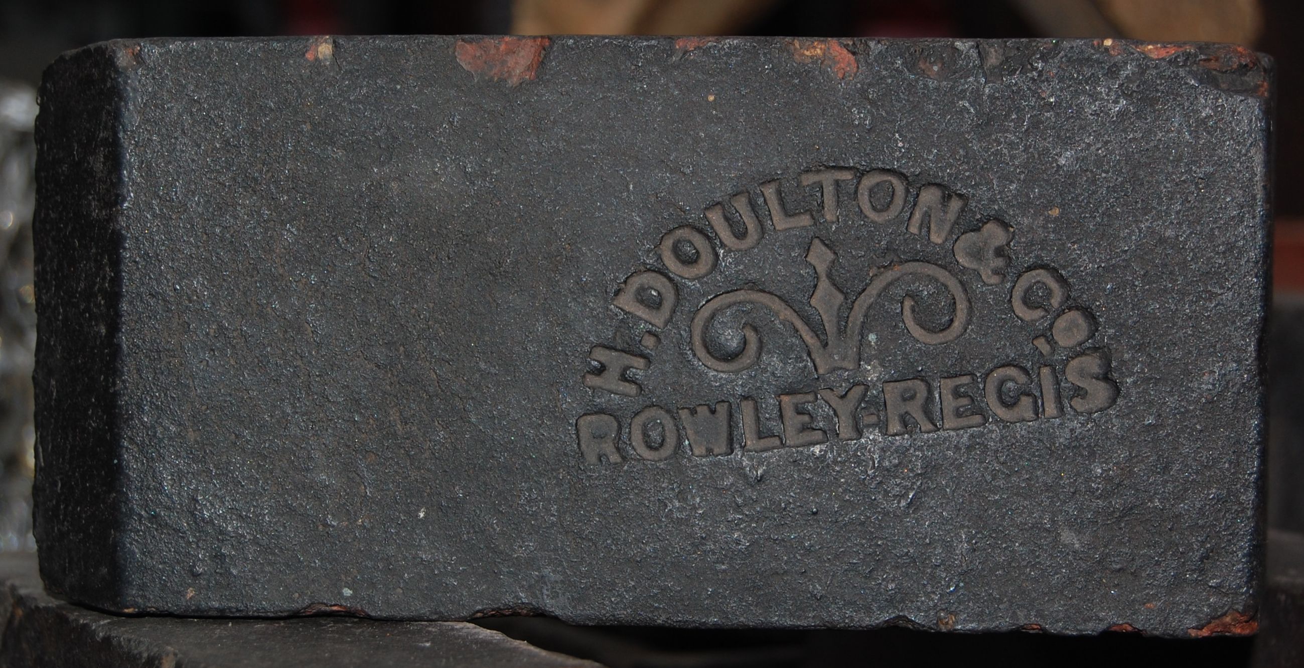
Rowley Regis ( ) is a town and former municipal borough in Sandwell in the county of the West Midlands (county), West Midlands, England. It forms part of the area immediately west of Birmingham known as the Black Country and encompasses the four Sandwell council wards of Blackheath, West Midlands, Blackheath, Cradley Heath and Old Hill, Tividale and Rowley. At the 2011 census, the combined population of these wards was 50,257. History The history of Rowley Regis can be traced back to the 12th century, when a small village grew around the parish church of St Giles, southeast of Dudley. Rowley was part of the Royal hunting grounds – Regis was added to the name of Rowley in around 1140 to signify it was that part of Rowley belonging to the King. Along with the rest of the Black Country, Rowley Regis began to see substantial development in the early to mid-19th century. Coal was mined at the Earl of Dudley's Ramrod Colliery from 1855, at Rowley Hall Colliery from 1865 and at B ... [...More Info...] [...Related Items...] OR: [Wikipedia] [Google] [Baidu] |
England
England is a Countries of the United Kingdom, country that is part of the United Kingdom. It is located on the island of Great Britain, of which it covers about 62%, and List of islands of England, more than 100 smaller adjacent islands. It shares Anglo-Scottish border, a land border with Scotland to the north and England–Wales border, another land border with Wales to the west, and is otherwise surrounded by the North Sea to the east, the English Channel to the south, the Celtic Sea to the south-west, and the Irish Sea to the west. Continental Europe lies to the south-east, and Ireland to the west. At the 2021 United Kingdom census, 2021 census, the population was 56,490,048. London is both List of urban areas in the United Kingdom, the largest city and the Capital city, capital. The area now called England was first inhabited by modern humans during the Upper Paleolithic. It takes its name from the Angles (tribe), Angles, a Germanic peoples, Germanic tribe who settled du ... [...More Info...] [...Related Items...] OR: [Wikipedia] [Google] [Baidu] |
Sandwell Metropolitan Borough Council
Sandwell Metropolitan Borough Council, or Sandwell Council, is the local authority of the Metropolitan Borough of Sandwell in the West Midlands, England. It is a metropolitan borough council and provides the majority of local government services in the borough. The council has been a member of the West Midlands Combined Authority since 2016. The council has been under Labour majority control since 1979. It is based at the Council House in Oldbury. History The metropolitan district of Sandwell and its council were created in 1974 under the Local Government Act 1972, covering the combined area of the former county boroughs of Warley and West Bromwich, which were both abolished at the same time. It was the second major overhaul of local government structures in the area in eight years; the borough of Warley had only been created in 1966 as a merger of the old boroughs of Oldbury, Rowley Regis and Smethwick, whilst the borough of West Bromwich had been enlarged in 1966 to a ... [...More Info...] [...Related Items...] OR: [Wikipedia] [Google] [Baidu] |
Sandwell Metropolitan Borough
Sandwell is a metropolitan borough of the West Midlands county in England. The borough is named after the Sandwell Priory, and spans a densely populated part of the West Midlands conurbation. Sandwell Metropolitan Borough Council defines the borough as the six amalgamated towns of Oldbury, Rowley Regis, Smethwick, Tipton, Wednesbury and West Bromwich. Rowley Regis includes the towns of Blackheath and Cradley Heath. Sandwell's Strategic Town Centre is designated as West Bromwich, the largest town in the borough, while Sandwell Council House (the headquarters of the local authority) is situated in Oldbury. In 2019 Sandwell was ranked 12th most deprived of England's 317 boroughs. Bordering Sandwell is the City of Birmingham to the east, the Metropolitan Borough of Dudley to the south and west, the Metropolitan Borough of Walsall to the north, and the City of Wolverhampton to the north-west. Spanning the borough are the parliamentary constituencies of West Bromwich, Smethwick, t ... [...More Info...] [...Related Items...] OR: [Wikipedia] [Google] [Baidu] |
West Midlands (county)
West Midlands is a Metropolitan county, metropolitan and Ceremonial counties of England, ceremonial county in the larger West Midlands (region), West Midlands region of England. A landlocked county, it is bordered by Staffordshire to the north and west, Worcestershire to the south, and is almost surrounded by Warwickshire to the east. The largest settlement is the city of Birmingham. The county is almost entirely urban, with an area of and a population of 2,953,816, making it the List of ceremonial counties of England, second most populous county in England after Greater London. After Birmingham (1,144,919) the largest settlements are the cities of Coventry (345,324) and Wolverhampton (263,700), Solihull (126,577), and Sutton Coldfield (109,899). Nearly all of the county's settlements belong to the West Midlands conurbation, West Midlands and Coventry and Bedworth urban area, Coventry built-up areas, though the 'Meriden Gap' between them is rural. For Local government in Engl ... [...More Info...] [...Related Items...] OR: [Wikipedia] [Google] [Baidu] |
Bumble Hole Local Nature Reserve
Bumble Hole Local Nature Reserve is situated in the Netherton area of Dudley Metropolitan Borough in the county of West Midlands, England. This former industrial area now features canals, ponds, grassland and wooded areas. The reserve lies adjacent to the Warren's Hall Local Nature Reserve (which is in Sandwell Metropolitan Borough). It was declared a local nature reserve in 1996. History The area comprising the Bumble Hole Local Nature Reserve and its neighbour, Warren's Hall Local Nature Reserve, once was a scene of industry, including coal mining, clay extraction, coke furnaces and boat building. A railway (known as the Bumble Hole Line) ran through the area, linking Dudley to Old Hill Old Hill is a small village in the metropolitan borough of Sandwell, West Midlands, England, situated around north of Halesowen and south of Dudley. It is part of the West Midlands conurbation. History ''Kelly's Directory of Staffordshir .... Location The reserve is located to t ... [...More Info...] [...Related Items...] OR: [Wikipedia] [Google] [Baidu] |
Cobb's Engine House
Cobb's Engine House (properly known as Windmill End Pumping Station) in Rowley Regis, West Midlands, England, is a scheduled ancient monument and a Grade II listed building built around 1831. It housed a stationary steam pump used to pump water firstly from Windmill End Colliery and later other mines in the area. Utilising a shaft 525 feet deep, 1,600,000 litres of water were pumped from the mines into the canal daily. The engine was overhauled in 1874. In 1919–20 financial difficulties in the local coal mining industry led to many pits being flooded and Cobb's became the last colliery pumping engine operating in the area. It ceased work in 1928. Certain sources state that the Newcomen type engine was moved to the Henry Ford Museum in Dearborn, Michigan in 1930, though another source states The Henry Ford Museum purchased a (modified) Newcomen Winding Engine from the same complex and removed it and its engine house to the museum. A photograph caption of the reconstruct ... [...More Info...] [...Related Items...] OR: [Wikipedia] [Google] [Baidu] |
Dudley Canal
The Dudley Canal is a canal passing through Dudley in the West Midlands of England. The canal is part of the English and Welsh network of connected navigable inland waterways and forms part of the popular Stourport Ring narrowboat cruising route. The first short section, which connected to the Stourbridge Canal, opened in 1779. This was then connected to the Birmingham Canal system in 1792 via Dudley Tunnel. Almost immediately, work started on an extension, called Line No. 2, which ran through another long tunnel at Lapal to reach the Worcester and Birmingham Canal. This was completed in 1798 but significant trade had to wait until the Worcester and Birmingham was completed in 1802. In 1846, the company amalgamated with the Birmingham Canal Navigations and various improvements followed including the Netherton Tunnel. This was of a similar length to and parallel to the Dudley Tunnel but it was much bigger with towpaths on both sides and gas lighting. It was the last canal ... [...More Info...] [...Related Items...] OR: [Wikipedia] [Google] [Baidu] |
Netherton Tunnel Branch Canal
Netherton Tunnel Branch Canal, in the West Midlands (county), West Midlands county, England, is part of the Birmingham Canal Navigations, (BCN). It was constructed at a 453–foot elevation, the Wednesbury or Water levels of the Birmingham Canal Navigations#453 ft. Birmingham Level, Birmingham level; it has no Canal lock, locks. The total length of the branch canal is and the canal tunnel is long. Netherton Tunnel was the last History of the British canal system#The Industrial Revolution, canal tunnel to be built in United Kingdom, Britain during the Canal Age. The Sod#Cutting the first sod, first sod was turned by William Ward, 1st Earl of Dudley, the Lord Ward on 31 December 1855 and the canal opened on 20 August 1858, providing a waterway connection between the Black Country towns of Netherton, West Midlands, Netherton and Tipton. It was built to relieve the bottleneck of the adjacent Dudley Tunnel which is very narrow, has alternating blocks of one-way working, and had wa ... [...More Info...] [...Related Items...] OR: [Wikipedia] [Google] [Baidu] |
Netherton, West Midlands
Netherton is a town of the Metropolitan Borough of Dudley, south of Dudley in the West Midlands (county), West Midlands of England. It was historically part of Worcestershire. The town is part of the Black Country, Netherton is bounded by nature reserves to the east and west, and an industrial area and the Dudley Southern By-Pass to the north. History Early history Netherton means "lower farm" in Old English (the corresponding upper farm may have been Dudley itself). For most of its history, Netherton was a small village centred around the point where a brook crossed the Baptist End Road, near the boundary of Pensnett Chase, a partially wooded Common land, common. Netherton is mentioned in legal records dating from 1420 and the first mention of a Netherton nailor, an occupation that became very important locally in later years, is dated 1559. The village is called 'Nederton' in the earliest available documents. The village was included in the Manor of Dudley, a Lordship of the B ... [...More Info...] [...Related Items...] OR: [Wikipedia] [Google] [Baidu] |
Dudley
Dudley ( , ) is a market town in the West Midlands, England, southeast of Wolverhampton and northwest of Birmingham. Historically part of Worcestershire, the town is the administrative centre of the Metropolitan Borough of Dudley. In the 2011 census, it had a population of 79,379. The wider Metropolitan Borough had a population of 312,900. In 2014, the borough council adopted a slogan describing Dudley as the capital of the Black Country, a title by which it had long been informally known. Originally a market town, Dudley was one of the birthplaces of the Industrial Revolution and grew into an industrial centre in the 19th century with its iron, coal, and limestone industries before their decline and the relocation of its commercial centre to the nearby Merry Hill Shopping Centre in the 1980s. Tourist attractions include Dudley Zoo and Castle, the 12th century priory ruins, and the Black Country Living Museum. History Early history Dudley has a history dating b ... [...More Info...] [...Related Items...] OR: [Wikipedia] [Google] [Baidu] |
Dudley Metropolitan Borough
The Metropolitan Borough of Dudley is a metropolitan borough of West Midlands, England. It was created in 1974 following the Local Government Act 1972, through a merger of the existing Dudley County Borough with the municipal boroughs of Stourbridge and Halesowen. The borough's main settlement is Dudley but it also includes the outlying towns of Brierley Hill, Halesowen, Kingswinford, Lye, Netherton, Sedgley, and Stourbridge. The borough borders Sandwell to the east, the city of Birmingham to the south east, Bromsgrove to the south in Worcestershire, South Staffordshire District to the west, and the city of Wolverhampton to the north. History The Metropolitan Borough of Dudley was created in 1974 from the existing boroughs of Dudley, the Municipal Borough of Stourbridge and the Municipal Borough of Halesowen. This followed an earlier reorganisation in 1966, as per the provisions of the Local Government Act 1958, which saw an expansion of the three boroughs from the ab ... [...More Info...] [...Related Items...] OR: [Wikipedia] [Google] [Baidu] |


