|
Wajihids
The Wajihids ( ar, بَنُو وَجِيْه, Banū Wajīh) were an Arab dynasty that ruled in coastal Oman in the early and mid-10th century AD. Their capital was the town of Suhar, after moving there from Al-Buraimi Oasis or Tawam, where they had been in the 9th century. History The origins and history of this dynasty are obscure. They may have been of either Omani or Bahraini origin, and they were possibly related to Ahmad ibn Hilal, a previous governor of Oman on behalf of the Abbasid Caliphate.Wilkinson, p. 333; al-Salimi, pp. 375-6. Miles, pp. 102-3, offered a different theory about the Wajihids, stating that Yusuf b. Wajih was a Turkish officer who was sent to Oman on behalf of the Abbasid government; this idea has not been adopted by more recent historians In any event, by about 929,Wilkinson, p. 333 the coastal regions of Oman were under the control of Yūsuf ibn Wajīh ( ar, يُوْسُف ابْن وَجِيْه), the first member of the dynasty. According to the ... [...More Info...] [...Related Items...] OR: [Wikipedia] [Google] [Baidu] |
Al Buraimi Governorate
Al Buraimi Governorate ( ar, مُحَافَظَة ٱلْبُرَيْمِي, Muḥāfaẓat Al-Buraimī) is one of the 11 governorates of Oman which was split from the Ad Dhahirah Region. Until October 2006, the area was part of Ad Dhahirah Region. At this time, the new governorate was created from the Wilayats (Provinces) of Al Buraymi and Mahdah. A third wilayat, As- Sunaynah, was created from parts of the two. The town of Al-Buraimi is an oasis town in northwestern Oman, on the border of the United Arab Emirates. An adjacent city on the UAE's side of the border is Al Ain. Both settlements are part of the historical region of Tawam or Al-Buraimi Oasis. For many decades, there had been an open border between Al-Buraimi located in Oman and Al-Ain. Effective from 16 September 2006, this border has been relocated to an area around Hilli which is around from the traditional open border. The traditional border near Al-Ain City is now closed to all except to those with valid visas ... [...More Info...] [...Related Items...] OR: [Wikipedia] [Google] [Baidu] |
Al Ain
Al Ain ( ar, ٱلْعَيْن, , ) is a city in the western side of Tawam (region), Tuwwam region and the seat of the administrative division of its namesake, Al-Ain Region, Abu Dhabi, Al Ain in the Emirate of Abu Dhabi, United Arab Emirates. It is Oman–United Arab Emirates border, bordered to the east by the Omani town of Al-Buraimi in the Al Buraimi Governorate. It is the largest inland city in the Emirates, the List of cities in the United Arab Emirates, fourth-largest city (after Dubai, Abu Dhabi, and Sharjah), and the second-largest in the Emirate of Abu Dhabi. The Controlled-access highway, freeways connecting Al-Ain, Abu Dhabi, and Dubai form a geographic triangle in the country, each city being roughly from the other two. Al-Ain is known as the "Garden City" ( ar, مَدِيْنَة ٱلْحَدِيْقَة, Madīnat Al-Ḥadīqah, lit=City of The Garden) of Emirate of Abu Dhabi, Abu Dhabi, the UAE or the Persian Gulf, Gulf, due to its greenery, particularly with reg ... [...More Info...] [...Related Items...] OR: [Wikipedia] [Google] [Baidu] |
Nizwa
Nizwa ( ar, نِزْوَى, Nizwā) is the largest city in Ad Dakhiliyah Region in Oman and was the capital of Oman proper. Nizwa is about (1.5 hours) from Muscat. The population is estimated at around 72,000 people, including the two areas of Burkat Al Mooz and Al-Jabel Al-Akhdar. Nizwa is one of the oldest cities in Oman and it was once a center of trade, religion, education and art. Its Jama (grand mosque) was formerly a center for Islamic learning. Nizwa acquired its importance because it has been an important meeting point at the base of the Western Hajar Mountains. Set amid a verdant spread of date palms, it is strategically located at the crossroads of routes linking the interior with Muscat and the lower reaches of Dhofar thus serving as the link for a large part of the country. Today, Nizwa is a diverse prosperous place with numerous agricultural, historical and recreational aspects. Nizwa is a center for date growing and is the market place for the area. Etymology ... [...More Info...] [...Related Items...] OR: [Wikipedia] [Google] [Baidu] |
Tawam (region)
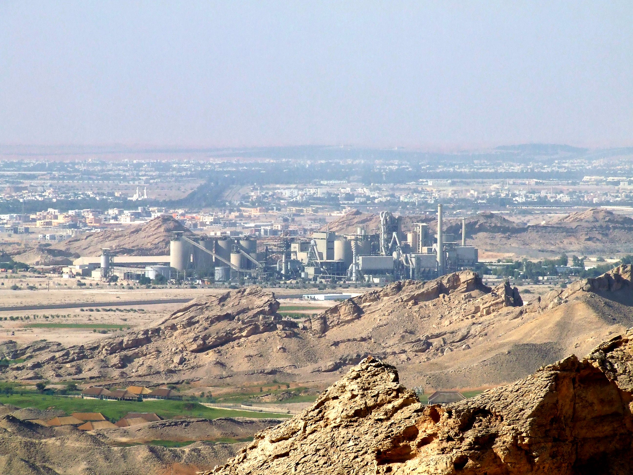
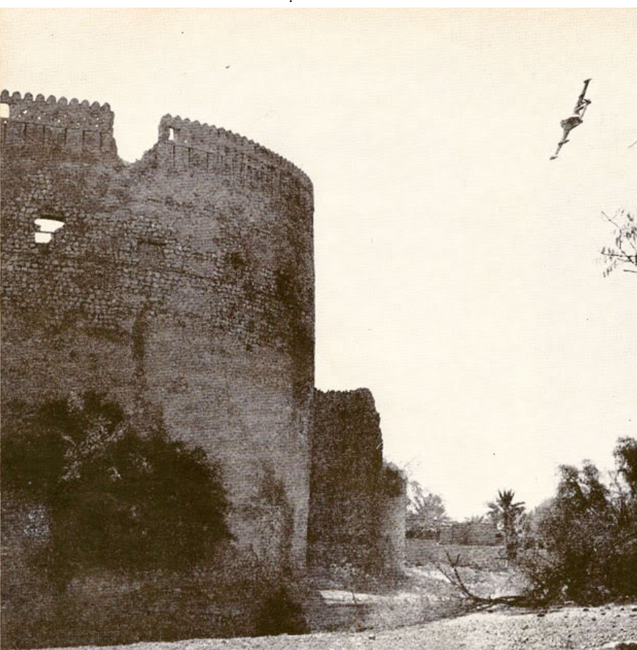
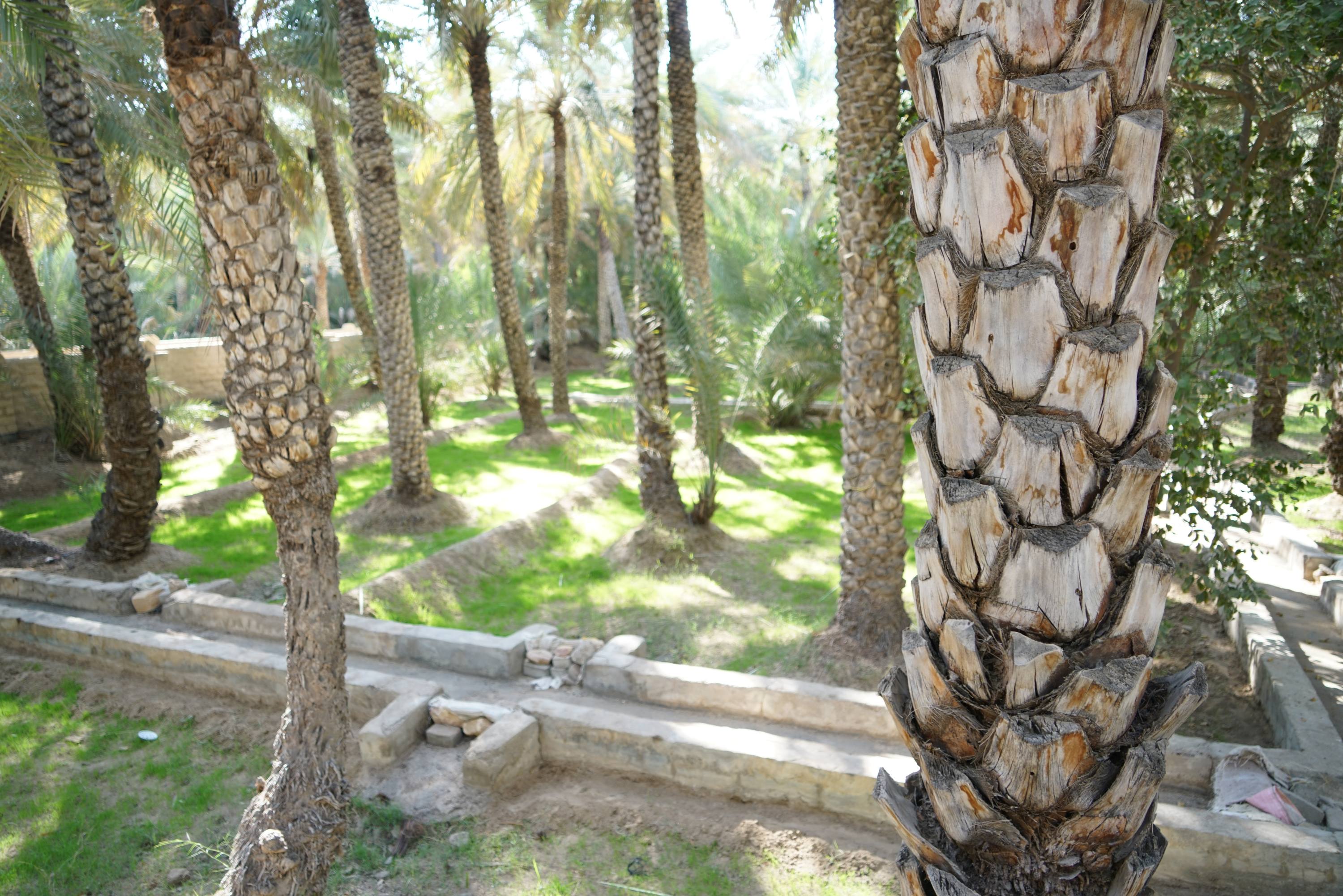
ar, وَاحَة ٱلْبُرَيْمِي, Wāḥat Al-Buraymī , native_name_lang = ar , image_skyline = Mezyad Fort.jpg , image_caption = Mezyad Fort in Al Ain (UAE), with Jebel Hafeet, which is partially in the Omani Governorate of Al-Buraimi, in the background , parts = Al-Ain () Al-Buraimi () Tawam ( ar, تَوَام, Tawām), also Tuwwam, Tu'am, or "Al-Buraimi Oasis" ( ar, وَاحَة ٱلْبُرَيْمِي, Wāḥat Al-Buraymī), is a historical oasis region in Eastern Arabia that stretched from, or was located between, the Western Hajar Mountains to the Persian Gulf coast, nowadays forming parts of what is now the United Arab Emirates and western Oman. It is marked by the twin settlements of Al Ain and Al-Buraimi on the UAE-Omani border. Etymology and geography Al-Ain is main settlement in the Eastern Region of the Emirate of Abu Dhabi, located on the country's eastern border with Oman, where the adjacent town of Al-Buraimi is located. ... [...More Info...] [...Related Items...] OR: [Wikipedia] [Google] [Baidu] |
Sohar
Sohar ( ar, صُحَار, also Romanized as Suḥār) is the capital and largest city of the Al Batinah North Governorate in Oman. An ancient capital of the country that once served as an important Islamic port town, Suhar has also been credited as the mythical birthplace of Sinbad the Sailor. According to the 2010 census, Suhar's population was 140,006, making it Oman's fifth most-populated settlement. Described as an industrial town, the development of the Sohar Industrial Port during the 2000s has transformed it into a major Omani industrial hub. History As the largest town in the region, it has been argued that Suhar is identified with the ancient town called 'Omanah' ( ar, عُمَانَة) mentioned by Pliny the Elder in his '' Natural History''. This settlement is believed to have given Oman its name. According to Al-Tabari, in 893 or 894, during the Abbasid era, there was a dispute about who should rule Oman amongst local factions. A faction that approached the Abbas ... [...More Info...] [...Related Items...] OR: [Wikipedia] [Google] [Baidu] |
Suhar
Sohar ( ar, صُحَار, also Romanized as Suḥār) is the capital and largest city of the Al Batinah North Governorate in Oman. An ancient capital of the country that once served as an important Islamic port town, Suhar has also been credited as the mythical birthplace of Sinbad the Sailor. According to the 2010 census, Suhar's population was 140,006, making it Oman's fifth most-populated settlement. Described as an industrial town, the development of the Sohar Industrial Port during the 2000s has transformed it into a major Omani industrial hub. History As the largest town in the region, it has been argued that Suhar is identified with the ancient town called 'Omanah' ( ar, عُمَانَة) mentioned by Pliny the Elder in his '' Natural History''. This settlement is believed to have given Oman its name. According to Al-Tabari, in 893 or 894, during the Abbasid era, there was a dispute about who should rule Oman amongst local factions. A faction that approached the Abba ... [...More Info...] [...Related Items...] OR: [Wikipedia] [Google] [Baidu] |
Tigris River
The Tigris () is the easternmost of the two great rivers that define Mesopotamia, the other being the Euphrates. The river flows south from the mountains of the Armenian Highlands through the Syrian and Arabian Deserts, and empties into the Persian Gulf. Geography The Tigris is 1,750 km (1,090 mi) long, rising in the Taurus Mountains of eastern Turkey about 25 km (16 mi) southeast of the city of Elazığ and about 30 km (20 mi) from the headwaters of the Euphrates. The river then flows for 400 km (250 mi) through Southeastern Turkey before becoming part of the Syria-Turkey border. This stretch of 44 km (27 mi) is the only part of the river that is located in Syria. Some of its affluences are Garzan, Anbarçayi, Batman, and the Great and the Little Zab. Close to its confluence with the Euphrates, the Tigris splits into several channels. First, the artificial Shatt al-Hayy branches off, to join the Euphrates near Nasiriyah. Sec ... [...More Info...] [...Related Items...] OR: [Wikipedia] [Google] [Baidu] |
Basra
Basra ( ar, ٱلْبَصْرَة, al-Baṣrah) is an Iraqi city located on the Shatt al-Arab. It had an estimated population of 1.4 million in 2018. Basra is also Iraq's main port, although it does not have deep water access, which is handled at the port of Umm Qasr. However, there is ongoing constuction of Grand Faw Port on the coast of Basra, which is considered a national project for Iraq and will become one of the largest ports in the world and the largest in the Middle East, in addition, the port will strengthen Iraq’s geopolitical position in the region and the world. Furthermore, Iraq is planning to establish large naval base in the Al-Faw peninsula, Faw peninsula. Historically, the city is one of the ports from which the fictional Sinbad the Sailor journeyed. The city was built in 636 and has played an important role in Islamic Golden Age. Basra is consistently one of the hottest cities in Iraq, with summer temperatures regularly exceeding . In April 2017, the ... [...More Info...] [...Related Items...] OR: [Wikipedia] [Google] [Baidu] |
Al-Ubullah
Al-Ubulla ( ar, الأبلة), called Apologou ( gr, 'Απολόγου 'Εμπόριον) by the Greeks in the pre-Islamic period, was a port city at the head of the Persian Gulf east of Basra in present-day Iraq. In the medieval period, it served as Iraq's principal commercial port for trade with India. Location Al-Ubulla was situated on the right bank of the Euphrates–Tigris estuary at the opening into the Persian Gulf. It was located to the east of old Basra and lay on the northern side of the eponymous canal, the Nahr al-Ubulla, which connected Basra southeastwards to the Tigris river, Abadan (in modern Iran) and ultimately to the Persian Gulf. The 'Ashar neighborhood of modern Basra currently occupies the site of al-Ubulla. History Al-Ubulla is identified with the ancient city of Apologou mentioned in the Greek manuscript ''Periplus of the Erythraean Sea''. The city dates at least to the Sasanian era (3rd–7th centuries CE), and possibly before. According to the 10th-cent ... [...More Info...] [...Related Items...] OR: [Wikipedia] [Google] [Baidu] |
Persian Gulf
The Persian Gulf ( fa, خلیج فارس, translit=xalij-e fârs, lit=Gulf of Persis, Fars, ), sometimes called the ( ar, اَلْخَلِيْجُ ٱلْعَرَبِيُّ, Al-Khalīj al-ˁArabī), is a Mediterranean sea (oceanography), mediterranean sea in Western Asia. The body of water is an extension of the Indian Ocean located between Iran and the Arabian Peninsula.United Nations Group of Experts on Geographical NameWorking Paper No. 61, 23rd Session, Vienna, 28 March – 4 April 2006. accessed October 9, 2010 It is connected to the Gulf of Oman in the east by the Strait of Hormuz. The Shatt al-Arab river delta forms the northwest shoreline. The Persian Gulf has many fishing grounds, extensive reefs (mostly rocky, but also Coral reef, coral), and abundant pearl oysters, however its ecology has been damaged by industrialization and oil spills. The Persian Gulf is in the Persian Gulf Basin, which is of Cenozoic origin and related to the subduction of the Arabian Plate u ... [...More Info...] [...Related Items...] OR: [Wikipedia] [Google] [Baidu] |
Gulf Of Oman
The Gulf of Oman or Sea of Oman ( ar, خليج عمان ''khalīj ʿumān''; fa, دریای عمان ''daryâ-ye omân''), also known as Gulf of Makran or Sea of Makran ( ar, خلیج مکران ''khalīj makrān''; fa, دریای مکران ''daryâ-ye makrān''), is a gulf that connects the Arabian Sea with the Strait of Hormuz, which then runs to the Persian Gulf. It borders Iran and Pakistan on the north, Oman on the south, and the United Arab Emirates on the west. Extent The International Hydrographic Organization defines the limits of the Gulf of Oman as follows: Exclusive economic zone Exclusive economic zones in Persian Gulf: Bordering countries Coastline length of bordering countries: # - 850 km coastline # - 750 km coastline # - 50 km coastline # - 50 km coastline Alternative names The Gulf of Oman historically and geographically has been referred to with different names by Arabian, Iranian, Indian, Pakistani and European geogra ... [...More Info...] [...Related Items...] OR: [Wikipedia] [Google] [Baidu] |


