|
Viola Lutea
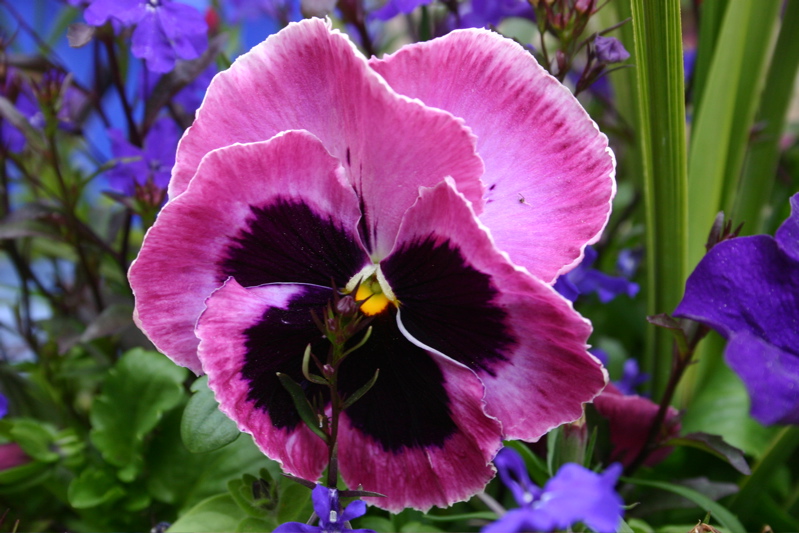
''Viola lutea'', the mountain pansy, is a species of violet that grows in Europe, from the British Isles to the Balkans. Description ''Viola lutea'' grows to a height of around . Its flowers are in diameter, and are typically yellow, although some individuals may have blue, purple or blotched flowers instead. Taxonomy ''Viola lutea'' was first described by William Hudson in his 1762 '' Flora Anglica''. ''V. lutea'' subsp. ''lutea'' is native to central and north-western Europe, from the British Isles to Austria; another subspecies occurs further east, from Hungary to the Balkans. Two very special subspecies are ''V. lutea'' subsp. ''calaminaria'' which occurs in the southernmost Netherlands and eastern Belgium, and ''V. lutea'' subsp. ''westfalica'', which only occurs at an extremely small locality near in East Westphalia, Germany. Both taxa have relatively recently evolved to take advantage of the local pollution left over after centuries of mining for metals in these lo ... [...More Info...] [...Related Items...] OR: [Wikipedia] [Google] [Baidu] |
William Hudson (botanist)
William Hudson FRS (1730 in Kendal – 23 May 1793) was a British botanist and apothecary based in London. His main work was ''Flora Anglica'', published in 1762. He was elected a fellow of the Royal Society in 1761. Life and work Hudson was born between 1730 and 1732 at the White Lion Inn, Kendal, which was kept by his father. He was educated at Kendal grammar school, Hudson was subsequently apprenticed to an apothecary in London. He obtained the prize for botany given by the Apothecaries' Company which was a copy of Ray's ''Synopsis''. However, he also paid attention to mollusca and insects and in Pennant's '' British Zoology'' he is mentioned as the discoverer of '' Trochus terrestris''. From 1757 to 1768 Hudson was resident sub-librarian of the British Museum, and his studies in the Sloane herbarium enabled him to adapt the Linnean nomenclature to the plants described by Ray far more accurately than did John Hill in his ''Flora Britannica'' of 1760. In 1761 Hudson w ... [...More Info...] [...Related Items...] OR: [Wikipedia] [Google] [Baidu] |
Zinc
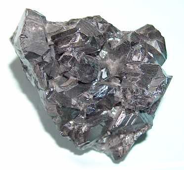
Zinc is a chemical element with the symbol Zn and atomic number 30. Zinc is a slightly brittle metal at room temperature and has a shiny-greyish appearance when oxidation is removed. It is the first element in group 12 (IIB) of the periodic table. In some respects, zinc is chemically similar to magnesium: both elements exhibit only one normal oxidation state (+2), and the Zn2+ and Mg2+ ions are of similar size.The elements are from different metal groups. See periodic table. Zinc is the 24th most abundant element in Earth's crust and has five stable isotopes. The most common zinc ore is sphalerite (zinc blende), a zinc sulfide mineral. The largest workable lodes are in Australia, Asia, and the United States. Zinc is refined by froth flotation of the ore, roasting, and final extraction using electricity ( electrowinning). Zinc is an essential trace element for humans, animals, plants and for microorganisms and is necessary for prenatal and postnatal development. It ... [...More Info...] [...Related Items...] OR: [Wikipedia] [Google] [Baidu] |
Biological Records Centre
The Biological Records Centre (BRC) established in 1964, is a national focus in the UK for terrestrial and fresh water species recording. The term "biological records centre" is also used in the context of local centres, now frequently referred to as "local environmental records centres" (LERCs). History The Biological Records Centre (BRC) was set up in 1964 by the Nature Conservancy (UK) at its recently opened Monks Wood Experimental Station near Huntingdon. BRC developed from the Atlas of the British Flora project of the Botanical Society of the British Isles (BSBI) to map the distribution of British (and Irish) flowering plants, which had established basic principles for biological recording in the UK. The former BSBI project leader, Franklyn Perring, established BRC with the project's original data and data processing equipment. Function As part of the UK Centre for Ecology & Hydrology (UKCEH), BRC provides a focus for the collation, management, dissemination and interpret ... [...More Info...] [...Related Items...] OR: [Wikipedia] [Google] [Baidu] |
Pansy
The garden pansy (''Viola'' × ''wittrockiana'') is a type of large-flowered hybrid plant cultivated as a garden flower. It is derived by hybridization from several species in the section ''Melanium'' ("the pansies") of the genus ''Viola'', particularly ''Viola tricolor'', a wildflower of Europe and western Asia known as heartsease. It is sometimes known as ''Viola tricolor'' var. ''hortensis'', but this scientific name is ambiguous. While ''Viola tricolor'' var. ''hortensis'' Groenland & Rümpler is a synonym of ''Viola'' × ''wittrockiana'', ''Viola tricolor'' var. ''hortensis'' DC. refers to a horticultural variety of wild pansy (''Viola tricolor'' without interspecific hybridization) that had been illustrated in ''Flora Danica'' in 1777 before the existence of ''Viola'' × ''wittrockiana''. The chromosome number of ''Viola'' × ''wittrockiana'' is 2n = 44–52, with most cultivars being 2n = 48. The flower is in diameter and has two slightly overlapping upper petals, tw ... [...More Info...] [...Related Items...] OR: [Wikipedia] [Google] [Baidu] |
Wicklow Mountains
The Wicklow Mountains (, archaic: ''Cualu'') form the largest continuous upland area in the Republic of Ireland. They occupy the whole centre of County Wicklow and stretch outside its borders into the counties of Dublin, Wexford and Carlow. Where the mountains extend into County Dublin, they are known locally as the Dublin Mountains (''Sléibhte Bhaile Átha Cliath''). The highest peak is Lugnaquilla at . The mountains are primarily composed of granite surrounded by an envelope of mica-schist and much older rocks such as quartzite. They were pushed up during the Caledonian orogeny at the start of the Devonian period and form part of the Leinster Chain, the largest continuous area of granite in Ireland and Britain. The mountains owe much of their present topography to the effects of the last ice age, which deepened the valleys and created corrie and ribbon lakes. Copper and lead have been the main metals mined in the mountains and a brief gold rush occurred in the 18th century ... [...More Info...] [...Related Items...] OR: [Wikipedia] [Google] [Baidu] |
County Clare
County Clare ( ga, Contae an Chláir) is a county in Ireland, in the Southern Region and the province of Munster, bordered on the west by the Atlantic Ocean. Clare County Council is the local authority. The county had a population of 118,817 at the 2016 census. The county town and largest settlement is Ennis. Geography and subdivisions Clare is north-west of the River Shannon covering a total area of . Clare is the seventh largest of Ireland's 32 traditional counties in area and the 19th largest in terms of population. It is bordered by two counties in Munster and one county in Connacht: County Limerick to the south, County Tipperary to the east and County Galway to the north. Clare's nickname is ''the Banner County''. Baronies, parishes and townlands The county is divided into the baronies of Bunratty Lower, Bunratty Upper, Burren, Clonderalaw, Corcomroe, Ibrickan, Inchiquin, Islands, Moyarta, Tulla Lower and Tulla Upper. These in turn are divided into civil parishes, ... [...More Info...] [...Related Items...] OR: [Wikipedia] [Google] [Baidu] |
Sea Level
Mean sea level (MSL, often shortened to sea level) is an average surface level of one or more among Earth's coastal bodies of water from which heights such as elevation may be measured. The global MSL is a type of vertical datuma standardised geodetic datumthat is used, for example, as a chart datum in cartography and marine navigation, or, in aviation, as the standard sea level at which atmospheric pressure is measured to calibrate altitude and, consequently, aircraft flight levels. A common and relatively straightforward mean sea-level standard is instead the midpoint between a mean low and mean high tide at a particular location. Sea levels can be affected by many factors and are known to have varied greatly over geological time scales. Current sea level rise is mainly caused by human-induced climate change. When temperatures rise, Glacier, mountain glaciers and the Ice sheet, polar ice caps melt, increasing the amount of water in water bodies. Because most of human settlem ... [...More Info...] [...Related Items...] OR: [Wikipedia] [Google] [Baidu] |
Breadalbane, Scotland
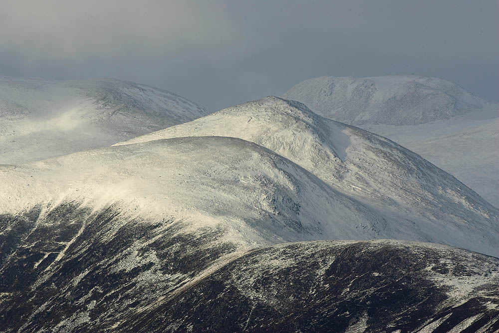
Breadalbane , from Scottish Gaelic ''Bràghaid Albann'' ("upper Alba" or "upland of Alba"), is a region of the southern/central Scottish Highlands. It is a mountainous region comprising the Drainage divide, watershed of Loch Tay; its boundaries are roughly the West Highland Way in the west, Rannoch Moor in the northwest, Loch Rannoch in the north, the River Tummel in the east, the Highland boundary in the southeast, and Loch Earn and Loch Voil-Loch Doine in the south. The former Breadalbane district was surrounded by the districts of Atholl, Strathearn, Menteith, The Lennox, Argyll and Lochaber. The Breadalbane Hydro-Electric Scheme lies within the region. The ''Atholl and Breadalbane Gathering'' is a popular 2/4 March tune for the Great Highland Bagpipes. History image:A new map of Scotland with the roads (8643653080).jpg, 350px, A 1689 map, showing the borders of Breadalbane as a distinct Province (in blue, at the centre of the map, as "broad alba-in") Breadalbane formed one o ... [...More Info...] [...Related Items...] OR: [Wikipedia] [Google] [Baidu] |
Derbyshire
Derbyshire ( ) is a ceremonial county in the East Midlands, England. It includes much of the Peak District National Park, the southern end of the Pennine range of hills and part of the National Forest. It borders Greater Manchester to the north-west, West Yorkshire to the north, South Yorkshire to the north-east, Nottinghamshire to the east, Leicestershire to the south-east, Staffordshire to the west and south-west and Cheshire to the west. Kinder Scout, at , is the highest point and Trent Meadows, where the River Trent leaves Derbyshire, the lowest at . The north–south River Derwent is the longest river at . In 2003, the Ordnance Survey named Church Flatts Farm at Coton in the Elms, near Swadlincote, as Britain's furthest point from the sea. Derby is a unitary authority area, but remains part of the ceremonial county. The county was a lot larger than its present coverage, it once extended to the boundaries of the City of Sheffield district in South Yorkshire where it cov ... [...More Info...] [...Related Items...] OR: [Wikipedia] [Google] [Baidu] |
Humber
The Humber is a large tidal estuary on the east coast of Northern England. It is formed at Trent Falls, Faxfleet, by the confluence of the tidal rivers Ouse and Trent. From there to the North Sea, it forms part of the boundary between the East Riding of Yorkshire on the north bank and North Lincolnshire on the south bank. Although the Humber is an estuary from the point at which it is formed, many maps show it as the River Humber. Below Trent Falls, the Humber passes the junction with the Market Weighton Canal on the north shore, the confluence of the River Ancholme on the south shore; between North Ferriby and South Ferriby and under the Humber Bridge; between Barton-upon-Humber on the south bank and Kingston upon Hull on the north bank (where the River Hull joins), then meets the North Sea between Cleethorpes on the Lincolnshire side and the long and thin headland of Spurn Head to the north. Ports on the Humber include the Port of Hull, the Port of Grimsby and the P ... [...More Info...] [...Related Items...] OR: [Wikipedia] [Google] [Baidu] |
River Severn
, name_etymology = , image = SevernFromCastleCB.JPG , image_size = 288 , image_caption = The river seen from Shrewsbury Castle , map = RiverSevernMap.jpg , map_size = 288 , map_caption = Tributaries (light blue) and major settlements on and near the Severn (bold blue) , pushpin_map = , pushpin_map_size = 288 , pushpin_map_caption= , subdivision_type1 = Country , subdivision_name1 = England and Wales , subdivision_type2 = , subdivision_name2 = , subdivision_type3 = Region , subdivision_name3 = Mid Wales, West Midlands, South West , subdivision_type4 = Counties , subdivision_name4 = Powys, Shropshire, Worcestershire, Gloucestershire , subdivision_type5 = Cities , subdivision_name5 = Shrewsbury, Worcester, Gloucester, Bristol , length = , width_min = , width_avg = , width_max = , depth_min = , depth_avg = ... [...More Info...] [...Related Items...] OR: [Wikipedia] [Google] [Baidu] |
Habitat
In ecology, the term habitat summarises the array of resources, physical and biotic factors that are present in an area, such as to support the survival and reproduction of a particular species. A species habitat can be seen as the physical manifestation of its ecological niche. Thus "habitat" is a species-specific term, fundamentally different from concepts such as environment or vegetation assemblages, for which the term "habitat-type" is more appropriate. The physical factors may include (for example): soil, moisture, range of temperature, and light intensity. Biotic factors will include the availability of food and the presence or absence of predators. Every species has particular habitat requirements, with habitat generalist species able to thrive in a wide array of environmental conditions while habitat specialist species requiring a very limited set of factors to survive. The habitat of a species is not necessarily found in a geographical area, it can be the interior ... [...More Info...] [...Related Items...] OR: [Wikipedia] [Google] [Baidu] |


