|
Vembanad
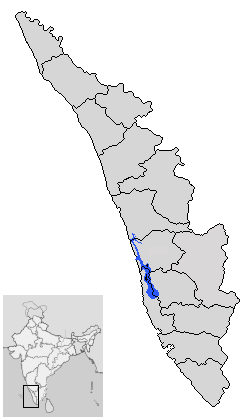
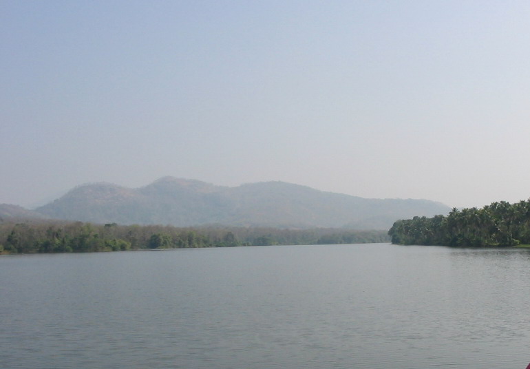
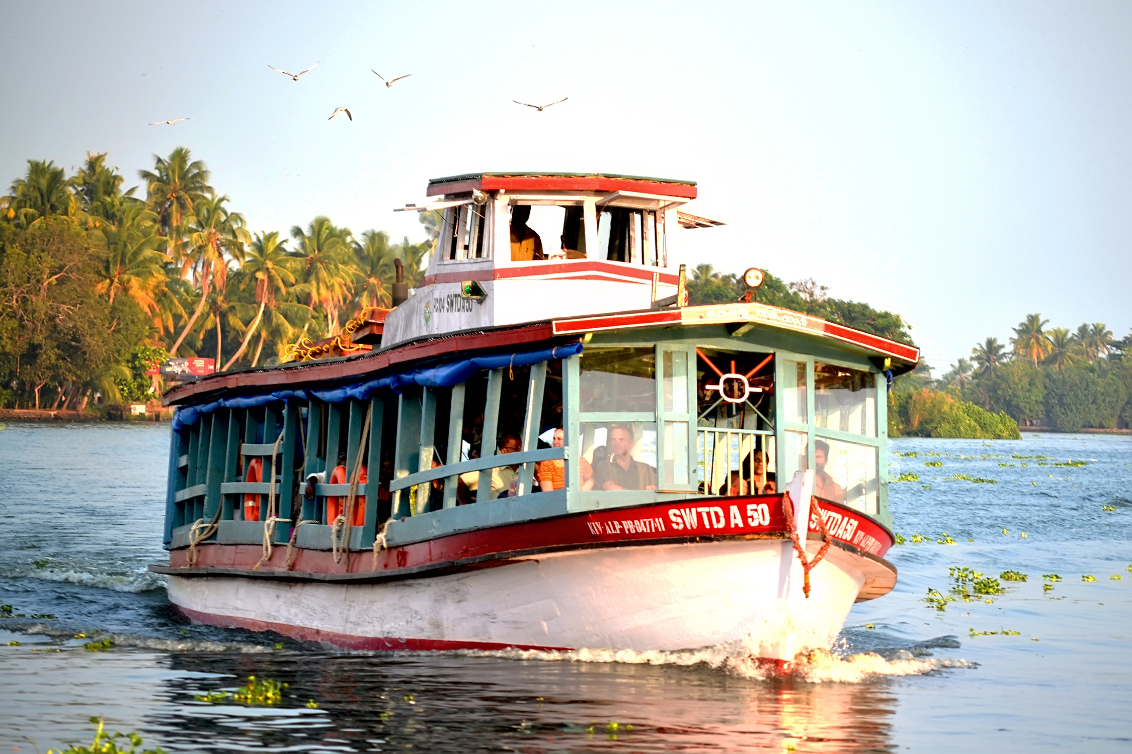
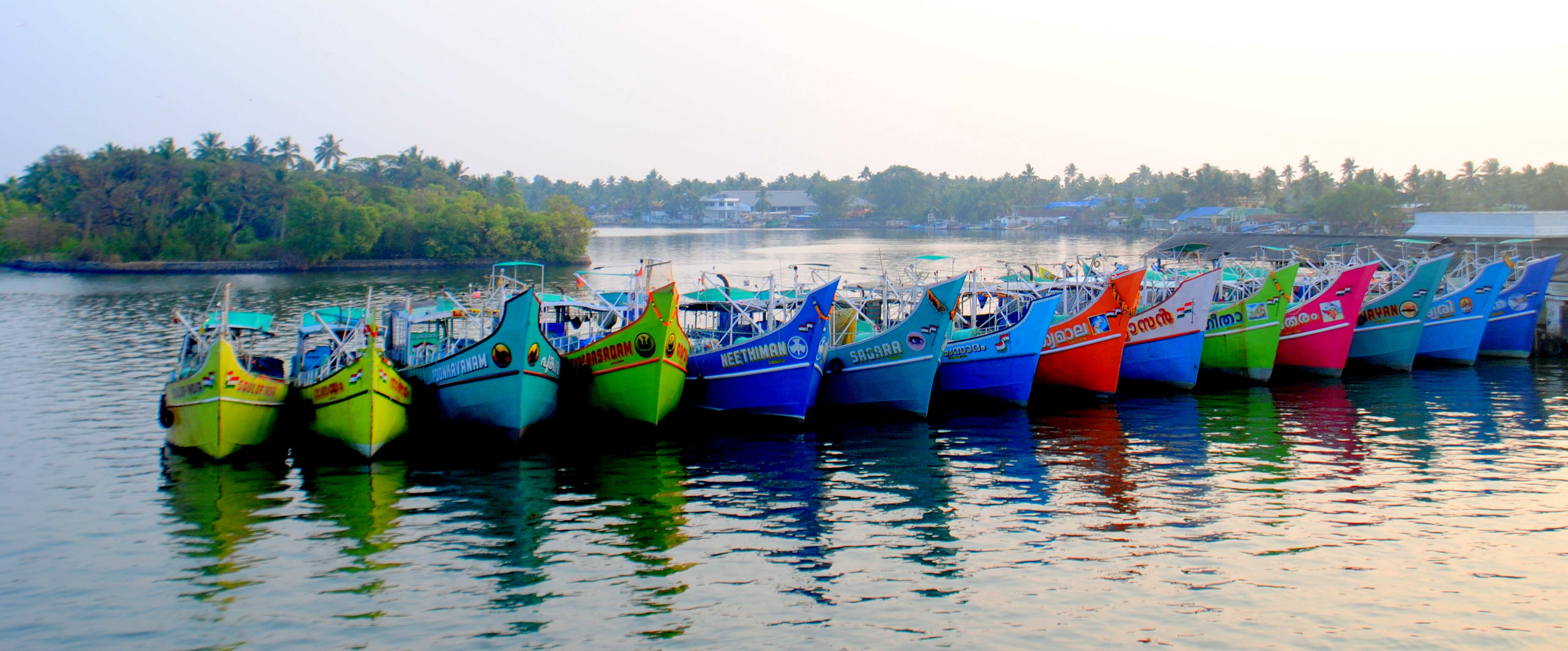
Vembanad is the longest lake in India, as well as the largest lake in the state of Kerala. The lake has an area of 230 square kilometers and a maximum length of 96.5 km. Spanning several districts in the state of Kerala, it is known as Vembanadu Lake in Kottayam, Vaikom, Changanassery, Punnamada Lake in Alappuzha, Punnappra, Kuttanadu and Kochi Lake in Kochi. Several groups of small islands including Vypin, Mulavukad, Maradu, Udayamperoor, Vallarpadam, Willingdon Island are located in the Kochi Lake portion. Kochi Port is built around the Willingdon Island and the Vallarpadam island. Kuttanad, also known as ''The Rice Bowl of Kerala'', has the lowest altitude in India, and is also one of the few places in world where cultivation takes place below sea level. Kuttanad lies on the southern portion of Vembanad. The Nehru Trophy Boat Race is conducted in a portion of the lake. High levels of pollution have been noticed at certain hotspots of the Vembanad backwaters. The Gov ... [...More Info...] [...Related Items...] OR: [Wikipedia] [Google] [Baidu] |
Vaikom
Vaikom, , is a municipal town and a capital town of Vaikom Taluk, situated in the northwest of Kottayam district in the state of Kerala, India. The town is also noted for its role in the Indian independence movement for being the venue of Vaikom Satyagraham, a civil rights movement aimed at securing freedom of movement for all sections of society through the public roads leading to the Vaikom Shiva Temple. Location Vaikom town is situated at the northwestern end of Kottayam district, close to Ernakulam district border. Vaikom is a lakeside town situated in the banks of the Vembanad lake similar to other lakeside towns like Kottayam and Changanassery. Its western borders are bound by the Vembanad lake. The Muvattupuzha river has its mouth near Vaikom where it empties into the Vembanad lake, many distributaries of the Muvattupuzha river pass through Vaikom. It is also close to the tourism destination Kumarakom and the city of Kochi. Vaikom is 32 km from Ernakulam, 32 km ... [...More Info...] [...Related Items...] OR: [Wikipedia] [Google] [Baidu] |
Periyar River
Periyar, , (meaning: ''big river'') is the longest river and the river with the largest discharge potential in the Indian state of Kerala. It is one of the few perennial rivers in the region and provides drinking water for several major towns. The Periyar is of utmost significance to the economy of Kerala. It generates a significant proportion of Kerala's electrical power via the Idukki Dam and flows along a region of industrial and commercial activity. The river also provides water for irrigation and domestic use throughout its course besides supporting a rich fishery. Due to these reasons, the river has been named the "Lifeline of Kerala". Kochi city, in the vicinity of the river mouth draws its water supply from Aluva, an upstream site sufficiently free of seawater intrusion. Twenty five percent of Kerala's industries are along the banks of river Periyar. These are mostly crowded within a stretch of in the Eloor-Edayar region (Udhyogamandal), about north of Kochi harbor. ... [...More Info...] [...Related Items...] OR: [Wikipedia] [Google] [Baidu] |
Manimala River
Manimala River or Manimalayar is a 92km long river which flows through South and Central Kerala. The river used to be wrongly considered as a tributary of Pamba River before satellite maps became popular, but this was proved incorrect. Manimala does not flow into the Pamba, instead a distributary of the Pamba river flows into the Manimala river at Kallunkal, later branches out again from Manimala at Nedumpuram and flows through Niranam, Thalavady, Edathua, Changankary, Champakulam, Nedumudy, Chennamkary, and finally Kainakary and then empties into the Vembanad lake. This branch again links with Manimala river at Chennankary in a short, but broad connection known as Munnattumukham. Manimala is a separate independent river for all geographical purposes. It has its origin on the uthavara Hills(1156 feet above main sea level) on the Western Ghats in Peermedu in Idukki district of Kerala, India. It has a length of about 90 km and flows through a catchment area of about 847 km2. T ... [...More Info...] [...Related Items...] OR: [Wikipedia] [Google] [Baidu] |
Kuttanad
Kuttanad ( ml, കുട്ടനാട്) is a region covering the Alappuzha, Kottayam and Pathanamthitta Districts, in the state of Kerala, India, well known for its vast paddy fields and geographical peculiarities. The region has the lowest altitude in India, and is one of the few places in the world where farming is carried on around below sea level. Kuttanad is historically important in the ancient history of South India and is the major rice producer in the state. Farmers of Kuttanad are famous for Biosaline Farming. Food and Agriculture Organization (FAO) has declared the Kuttanad Farming System as a Globally Important Agricultural Heritage System (GIAHS). Four of Kerala's major rivers, the Pamba, Meenachil, Achankovil and Manimala flow into the region. It is well known for its boat race in the Punnamada Backwaters, known in Malayalam as Vallamkalli. History This region with abundant paddy fields and lakes produces rice, vegetables & fruits, fish, dairy produc ... [...More Info...] [...Related Items...] OR: [Wikipedia] [Google] [Baidu] |
Kuttanadu
Kuttanad ( ml, കുട്ടനാട്) is a region covering the Alappuzha, Kottayam and Pathanamthitta Districts, in the state of Kerala, India, well known for its vast paddy fields and geographical peculiarities. The region has the lowest altitude in India, and is one of the few places in the world where farming is carried on around below sea level. Kuttanad is historically important in the ancient history of South India and is the major rice producer in the state. Farmers of Kuttanad are famous for Biosaline Farming. Food and Agriculture Organization (FAO) has declared the Kuttanad Farming System as a Globally Important Agricultural Heritage System (GIAHS). Four of Kerala's major rivers, the Pamba, Meenachil, Achankovil and Manimala flow into the region. It is well known for its boat race in the Punnamada Backwaters, known in Malayalam as Vallamkalli. History This region with abundant paddy fields and lakes produces rice, vegetables & fruits, fish, dairy produc ... [...More Info...] [...Related Items...] OR: [Wikipedia] [Google] [Baidu] |
Kerala
Kerala ( ; ) is a state on the Malabar Coast of India. It was formed on 1 November 1956, following the passage of the States Reorganisation Act, by combining Malayalam-speaking regions of the erstwhile regions of Cochin, Malabar, South Canara, and Thiruvithamkoor. Spread over , Kerala is the 21st largest Indian state by area. It is bordered by Karnataka to the north and northeast, Tamil Nadu to the east and south, and the Lakshadweep Sea to the west. With 33 million inhabitants as per the 2011 census, Kerala is the 13th-largest Indian state by population. It is divided into 14 districts with the capital being Thiruvananthapuram. Malayalam is the most widely spoken language and is also the official language of the state. The Chera dynasty was the first prominent kingdom based in Kerala. The Ay kingdom in the deep south and the Ezhimala kingdom in the north formed the other kingdoms in the early years of the Common Era (CE). The region had been a prominent spic ... [...More Info...] [...Related Items...] OR: [Wikipedia] [Google] [Baidu] |
Alappuzha
Alappuzha or Alleppey () is the administrative headquarters of Alappuzha district in States and territories of India, state of Kerala, India. The Kerala Backwaters, Backwaters of Alappuzha are one of the most popular tourist attractions in India which attracts millions of domestic and international tourists. Alleppey is a city and a municipality in Kerala with an urban population of 174,164 and ranks third among the districts in literacy rate in the state. In 2016, the Centre for Science and Environment rated Alappuzha as the cleanest town in India. Alappuzha is considered to be the oldest planned city in this region and the lighthouse built on the coast of the city is the first of its kind along the Laccadive Sea coast. The city is 55 km from Kochi and 155 km north of Thiruvananthapuram district, Thiruvananthapuram. A town with canals, Kerala Backwaters, backwaters, Alappuzha Beach, beaches, and lagoons, Alappuzha was described by George Curzon, 1st Marquess Curzon o ... [...More Info...] [...Related Items...] OR: [Wikipedia] [Google] [Baidu] |
Kochi
Kochi (), also known as Cochin ( ) ( the official name until 1996) is a major port city on the Malabar Coast of India bordering the Laccadive Sea, which is a part of the Arabian Sea. It is part of the district of Ernakulam in the state of Kerala and is commonly referred to as Ernakulam. Kochi is the most densely populated city in Kerala. As of 2011, it has a corporation limit population of 677,381 within an area of 94.88 km2 and a total urban population of more than of 2.1 million within an area of 440 km2, making it the largest and the most populous metropolitan area in Kerala. Kochi city is also part of the Greater Cochin region and is classified as a Tier-II city by the Government of India. The civic body that governs the city is the Kochi Municipal Corporation, which was constituted in the year 1967, and the statutory bodies that oversee its development are the Greater Cochin Development Authority (GCDA) and the Goshree Islands Development Authority (GIDA). ... [...More Info...] [...Related Items...] OR: [Wikipedia] [Google] [Baidu] |
Pamba River
The Pamba River (also called Pampa River) is the longest river in the Indian state of Kerala after Periyar and Bharathappuzha, and the longest river in the erstwhile former princely state of Travancore. Sabarimala temple dedicated to Lord Ayyappa is located on the banks of the river Pamba. The river is also known as 'Dakshina Bhageerathi'. During ancient times it was called 'River Baris' and jordan of malankara The River Pamba enriches the lands of Pathanamthitta District and the Kuttanad area of Alappuzha District and few areas of Kottayam Course The Pamba originates at Pulachimalai hill in the Peerumedu plateau in the Western Ghats at an altitude of . Starting from the Idukki district and traversing a distance of through Pathanamthitta and Alappuzha districts, the river joins the Arabian Sea through a number of channels. The basin extends over an area of with the entire catchment area within Kerala state. The basin is bounded on the east by Western Ghats and on the west ... [...More Info...] [...Related Items...] OR: [Wikipedia] [Google] [Baidu] |
Kottayam
Kottayam () is a municipal town in the Indian state of Kerala. Flanked by the Western Ghats on the east and the Vembanad Lake and paddy fields of Kuttanad on the west. It is the district headquarters of Kottayam district, located in south-west Kerala. Kottayam is located in the basin of the Meenachil River at an average elevation of above sea level, and has a moderate climate. It is located approximately north of the state capital Thiruvananthapuram. Kottayam is also referred to as "The City of Letters" as many of the first Malayalam daily newspapers, like '' Deepika,'' ''Malayala Manorama,'' and ''Mangalam,'' were started and are headquartered in Kottayam, as are a number of publishing houses. Etymology The royal palace of the Thekkumkur ruler was protected by a fort called ''Thaliyilkotta''. It is believed that the name ''Kottayam'' is derived from a combination of the Malayalam words ''kotta'' which means fort (''Thaliyilkotta'') and ''akam'' which means inside. The com ... [...More Info...] [...Related Items...] OR: [Wikipedia] [Google] [Baidu] |
Vypin
Vypin (Malayalam: വൈപ്പിന്, Cochin Portuguese: Isla Santa) is one of the group of islands that form part of the city of Kochi (Cochin), in the Indian state of Kerala. Vypin forms a barrier island which lies between the Arabian Sea in the west and the Cochin backwaters formed by the various distributaries of Periyar river, in the east. The northernmost end of the island lies on the estuary of the Periyar river in Muziris (Kodungallur), and the southernmost end in the mouth of the Cochin Backwaters in Kalamukku near Fort Vypin. The island is about long and is connected to mainland Kochi by a series of bridges known as the Goshree bridges, which start at Kalamukku in Vypin, touch other two islands and then finish at Marine Drive covering a total distance of around . Vypin is 58th most densely populated islands in the world. Njarakkal is one of the most densely populated locations within Vypin. Development At far the northern tip of Vypin, is home to the Mun ... [...More Info...] [...Related Items...] OR: [Wikipedia] [Google] [Baidu] |
Pathiramanal
Pathiramanal ( ml, പാതിരാമണൽ) is a small island in Muhamma panchayat of Alappuzha district located in Vembanad Lake. The name ''Pathiramanal'' means 'midnight sand'. The scenic beauty of both sides of the lake as well as that of the island is mind blowing. It is home to many rare varieties of migratory birds from different parts of the world. Geography The Pathiramanal Island is 28.505 ha. It is about 1.5 km from Muhamma boat jetty and about 13 km from Alapuzha. From the jetty close by Baker Bungalow the distance to the island is about 5 km and from Kumarakom 4 km towards northwest. *Maximum length: 550m (SW to NE) *Maximum width: 450m (SE to NW) *Perimeter: 1800 m *Estimated Area: 19.6 ha *Distance to the nearest main land: 810m History The island (also known as ''Anantha Padmanabhan Thoppu'') was purchased by Chevalier ACM Anthraper, from M/s Bheemji Devji Trust of Cochin and was under the private ownership of Thaimattathil Family ... [...More Info...] [...Related Items...] OR: [Wikipedia] [Google] [Baidu] |


.jpg)
_22-Mar-2007_10-12-15_AM.jpg)

