|
United Kingdom Hydrographic Office
The United Kingdom Hydrographic Office (UKHO) is the UK's agency for providing hydrographic and marine geospatial data to mariners and maritime organisations across the world. The UKHO is a trading fund of the Ministry of Defence (MoD) and is located in Taunton, Somerset, with a workforce of approximately 900 staff. The UKHO is responsible for operational support to the Royal Navy and other defence customers. Supplying defence and the commercial shipping industry, they help ensure Safety of Life at Sea (SOLAS), protect the marine environment and support the efficiency of global trade. Together with other national hydrographic offices and the International Hydrographic Organization (IHO), the UKHO works to set and raise global standards of hydrography, cartography and navigation. The UKHO also produces a commercial portfolio of ADMIRALTY Maritime Data Solutions, providing SOLAS-compliant charts, publications and digital services for ships trading internationally. History E ... [...More Info...] [...Related Items...] OR: [Wikipedia] [Google] [Baidu] |
Taunton
Taunton () is the county town of Somerset, England, with a 2011 population of 69,570. Its thousand-year history includes a 10th-century monastic foundation, Taunton Castle, which later became a priory. The Normans built a castle owned by the Bishops of Winchester. Parts of the inner ward house were turned into the Museum of Somerset and Somerset Military Museum. For the Second Cornish uprising of 1497, Perkin Warbeck brought an army of 6,000; most surrendered to Henry VII on 4 October 1497. On 20 June 1685 the Duke of Monmouth crowned himself King of England here in a rebellion, defeated at the Battle of Sedgemoor. Judge Jeffreys led the Bloody Assizes in the Castle's Great Hall. The Grand Western Canal reached Taunton in 1839 and the Bristol and Exeter Railway in 1842. Today it hosts Musgrove Park Hospital, Somerset County Cricket Club, is the base of 40 Commando, Royal Marines, and is home to the United Kingdom Hydrographic Office on Admiralty Way. The popular Taunton flow ... [...More Info...] [...Related Items...] OR: [Wikipedia] [Google] [Baidu] |
Patagonia
Patagonia () refers to a geographical region that encompasses the southern end of South America, governed by Argentina and Chile. The region comprises the southern section of the Andes Mountains with lakes, fjords, temperate rainforests, and glaciers in the west and deserts, tablelands and steppes to the east. Patagonia is bounded by the Pacific Ocean on the west, the Atlantic Ocean to the east, and many bodies of water that connect them, such as the Strait of Magellan, the Beagle Channel, and the Drake Passage to the south. The Colorado and Barrancas rivers, which run from the Andes to the Atlantic, are commonly considered the northern limit of Argentine Patagonia. The archipelago of Tierra del Fuego is sometimes included as part of Patagonia. Most geographers and historians locate the northern limit of Chilean Patagonia at Huincul Fault, in Araucanía Region.Manuel Enrique Schilling; Richard WalterCarlson; AndrésTassara; Rommulo Vieira Conceição; Gustavo Walter Bertotto; ... [...More Info...] [...Related Items...] OR: [Wikipedia] [Google] [Baidu] |
Tierra Del Fuego
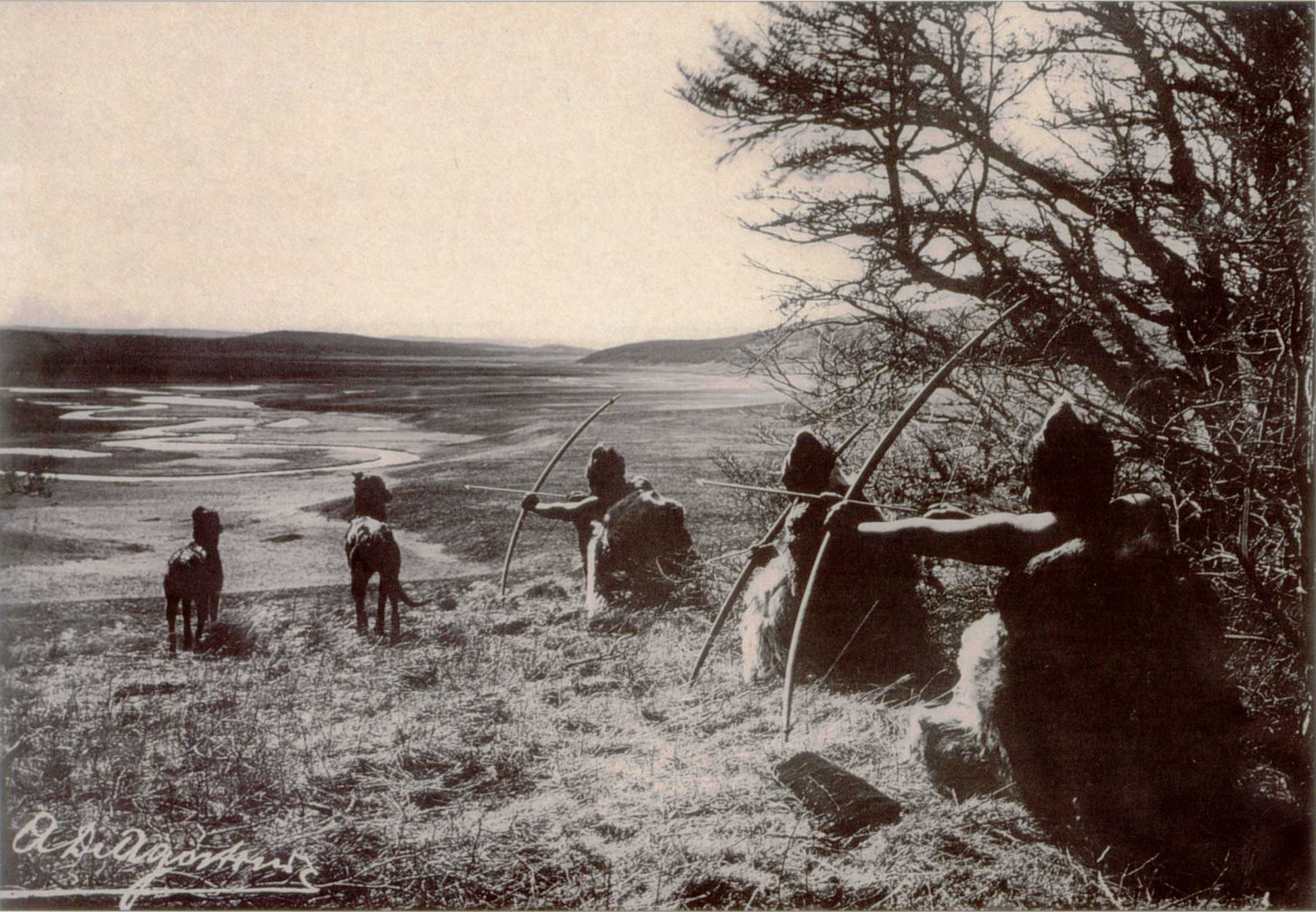
Tierra del Fuego (, ; Spanish for "Land of the Fire", rarely also Fireland in English) is an archipelago off the southernmost tip of the South American mainland, across the Strait of Magellan. The archipelago consists of the main island, Isla Grande de Tierra del Fuego, with an area of , and a group of many islands, including Cape Horn and Diego Ramírez Islands. Tierra del Fuego is divided between Chile and Argentina, with the latter controlling the eastern half of the main island and the former the western half plus the islands south of Beagle Channel and the southernmost islands. The southernmost extent of the archipelago is just north of latitude 56°S. The earliest known human settlement in Tierra del Fuego dates to approximately 8,000 BC. Europeans first explored the islands during Ferdinand Magellan's expedition of 1520. ''Tierra del Fuego'' and similar namings stem from sightings of the many bonfires that the natives built. Settlement by those of European descent and ... [...More Info...] [...Related Items...] OR: [Wikipedia] [Google] [Baidu] |
Tide Table
Tide tables, sometimes called tide charts, are used for tidal prediction and show the daily times and levels of high and low tides, usually for a particular location. Tide heights at intermediate times (between high and low water) can be approximated by using the rule of twelfths or more accurately calculated by using a published tidal curve for the location. Tide levels are typically given relative to a low-water vertical datum, e.g. the mean lower low water (MLLW) datum in the US. NOAA Special Publication NOS CO-OPS 1, Silver Spring MD, June 2000. Publication and scope Tide tables are published in various forms, such as paper-based tables and tables available on the Internet. Most tide tables are calculated and published only for ...[...More Info...] [...Related Items...] OR: [Wikipedia] [Google] [Baidu] |
Beaufort Scale
The Beaufort scale is an empirical measure that relates wind speed to observed conditions at sea or on land. Its full name is the Beaufort wind force scale. History The scale was devised in 1805 by the Irish hydrographer Francis Beaufort (later Rear Admiral), a Royal Navy officer, while serving on . The scale that carries Beaufort's name had a long and complex evolution from the previous work of others (including Daniel Defoe the century before) to when Beaufort was Hydrographer of the Navy in the 1830s, when it was adopted officially and first used during the voyage of HMS ''Beagle'' under Captain Robert FitzRoy, who was later to set up the first Meteorological Office (Met Office) in Britain giving regular weather forecasts. In the 18th century, naval officers made regular weather observations, but there was no standard scale and so they could be very subjective – one man's "stiff breeze" might be another's "soft breeze". Beaufort succeeded in standardising the sc ... [...More Info...] [...Related Items...] OR: [Wikipedia] [Google] [Baidu] |
Francis Beaufort
Rear-Admiral Sir Francis Beaufort (; 27 May 1774 – 17 December 1857) was an Irish hydrographer, rear admiral of the Royal Navy, and creator of the Beaufort cipher and the Beaufort scale. Early life Francis Beaufort was descended from French Protestant Huguenots, who fled the French Wars of Religion in the sixteenth century. His parents moved to Ireland from London. His father, Daniel Augustus Beaufort, was a Protestant clergyman from Navan, County Meath, Ireland, and a member of the learned Royal Irish Academy. His mother Mary was the daughter and co-heiress of William Waller, of Allenstown House. Francis was born in Navan on 27 May 1774. He had an older brother, William Louis Beaufort and three sisters, Frances, Harriet, and Louisa. His father created and published a new map of Ireland in 1792. Francis grew up in Wales and Ireland until age fourteen. He left school and went to sea, but never stopped his education. By later in life, he had become sufficiently self ... [...More Info...] [...Related Items...] OR: [Wikipedia] [Google] [Baidu] |
National Maritime Museum
The National Maritime Museum (NMM) is a maritime museum in Greenwich, London. It is part of Royal Museums Greenwich, a network of museums in the Maritime Greenwich World Heritage Site. Like other publicly funded national museums in the United Kingdom, it has no general admission charge; there are admission charges for most side-gallery temporary exhibitions, usually supplemented by many loaned works from other museums. Creation and official opening The museum was created by the National Maritime Museum Act 1934 under a Board of Trustees, appointed by HM Treasury. It is based on the generous donations of Sir James Caird (1864–1954). King George VI formally opened the museum on 27 April 1937 when his daughter Princess Elizabeth accompanied him for the journey along the Thames from London. The first director was Sir Geoffrey Callender. Collection Since the earliest times Greenwich has had associations with the sea and navigation. It was a landing place for the Romans, Henry ... [...More Info...] [...Related Items...] OR: [Wikipedia] [Google] [Baidu] |
Atlantic Ocean
The Atlantic Ocean is the second-largest of the world's five oceans, with an area of about . It covers approximately 20% of Earth's surface and about 29% of its water surface area. It is known to separate the " Old World" of Africa, Europe and Asia from the "New World" of the Americas in the European perception of the World. The Atlantic Ocean occupies an elongated, S-shaped basin extending longitudinally between Europe and Africa to the east, and North and South America to the west. As one component of the interconnected World Ocean, it is connected in the north to the Arctic Ocean, to the Pacific Ocean in the southwest, the Indian Ocean in the southeast, and the Southern Ocean in the south (other definitions describe the Atlantic as extending southward to Antarctica). The Atlantic Ocean is divided in two parts, by the Equatorial Counter Current, with the North(ern) Atlantic Ocean and the South(ern) Atlantic Ocean split at about 8°N. Scientific explorations of the A ... [...More Info...] [...Related Items...] OR: [Wikipedia] [Google] [Baidu] |
Northwest Passage
The Northwest Passage (NWP) is the sea route between the Atlantic and Pacific oceans through the Arctic Ocean, along the northern coast of North America via waterways through the Canadian Arctic Archipelago. The eastern route along the Arctic coasts of Norway and Siberia is accordingly called the Northeast Passage (NEP). The various islands of the archipelago are separated from one another and from Mainland Canada by a series of Arctic waterways collectively known as the Northwest Passages, Northwestern Passages or the Canadian Internal Waters. For centuries, European explorers, beginning with Christopher Columbus in 1492, sought a navigable passage as a possible trade route to Asia, but were blocked by North, Central, and South America, by ice, or by rough waters (e.g. Tierra del Fuego). An ice-bound northern route was discovered in 1850 by the Irish explorer Robert McClure. Scotsman John Rae explored a more southerly area in 1854 through which Norwegian Roald Amundsen f ... [...More Info...] [...Related Items...] OR: [Wikipedia] [Google] [Baidu] |
William Parry (explorer)
Sir William Edward Parry (19 December 1790 – 8 July 1855) was an Royal Navy officer and explorer best known for his 1819–1820 expedition through the Parry Channel, probably the most successful in the long quest for the Northwest Passage, until it was finally negotiated by Roald Amundsen in 1906. In 1827, Parry attempted one of the earliest expeditions to the North Pole. He reached 82° 45' N, setting a record for human exploration Farthest North that stood for nearly five decades before being surpassed at 83° 20' N by Albert Hastings Markham in 1875. Early life Parry was born in Bath, Somerset, the son of Caleb Hillier Parry and Sarah Rigby. He was educated at King Edward's School. At the age of thirteen he joined the flagship of Admiral Sir William Cornwallis in the Channel fleet as a first-class volunteer, in 1806 became a midshipman, and in 1810 received promotion to the rank of lieutenant in the frigate ''Alexander'', which spent the ne ... [...More Info...] [...Related Items...] OR: [Wikipedia] [Google] [Baidu] |


