|
USS Crux
USS ''Crux'' (AK-115) was a , converted from a Liberty Ship, commissioned by the US Navy for service in World War II. She was first named after Peter Stuyvesant, a Dutch politician that served as the last Dutch director-general of the colony of New Netherland from 1647 until it was ceded provisionally to the English in 1664. She was renamed and commissioned after Crux, a constellation centered on four stars in the southern sky in a bright portion of the Milky Way. She was responsible for delivering troops, goods and equipment to locations in the war zone. Construction ''Peter Stuyvesant'' was laid down on 27 September 1943, under a Maritime Commission (MARCOM) contract, MC hull 1212, by the St. Johns River Shipbuilding Company, Jacksonville, Florida; sponsored by Mrs. Frank D. Arthur, of Miami, and launched on 16 November 1943. She was transferred to the US Navy 27 November 1943, and renamed ''Crux''. She was commissioned 17 March 1944. Service history Departing Norfolk, Vi ... [...More Info...] [...Related Items...] OR: [Wikipedia] [Google] [Baidu] |
Peter Stuyvesant
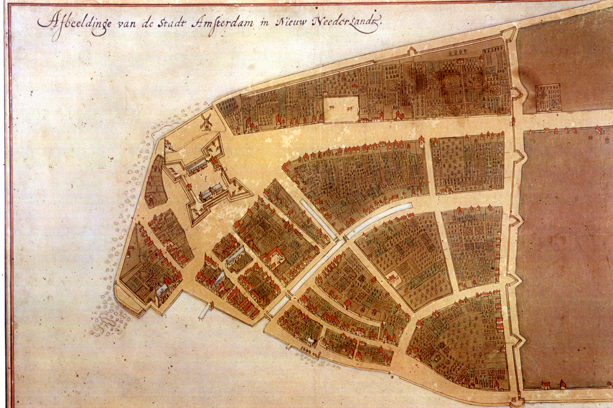
Peter Stuyvesant (; in Dutch also ''Pieter'' and ''Petrus'' Stuyvesant, ; 1610 – August 1672)Mooney, James E. "Stuyvesant, Peter" in p.1256 was a Dutch colonial officer who served as the last Dutch director-general of the colony of New Netherland from 1647 until it was ceded provisionally to the English in 1664, after which it was split into New York and New Jersey with lesser territory becoming parts of other colonies, and later, states. He was a major figure in the early history of New York City and his name has been given to various landmarks and points of interest throughout the city (e.g. Stuyvesant High School, Stuyvesant Town, Bedford–Stuyvesant neighborhood, etc.). Stuyvesant's accomplishments as director-general included a great expansion for the settlement of New Amsterdam beyond the southern tip of Manhattan. Among the projects built by Stuyvesant's administration were the protective wall on Wall Street, the canal that became Broad Street, and Broadway. St ... [...More Info...] [...Related Items...] OR: [Wikipedia] [Google] [Baidu] |
Director Of New Netherland
This is a list of Directors, appointed by the Dutch West India Company, of the 17th century Dutch province of New Netherland (''Nieuw-Nederland'' in Dutch) in North America. Only the last, Peter Stuyvesant, held the title of Director General. As the colony grew, citizens advisory boards – known as the Twelve Men, Eight Men, and Nine Men – exerted more influence on the director and thus affairs of province. There were New Netherland settlements in what later became the US states of New York, New Jersey, and Delaware, with short-lived outposts in areas of today's Connecticut, Rhode Island, and Pennsylvania. The capital, New Amsterdam, became the city of New York when the New Netherlanders provisionally ceded control of the colony to the English, who renamed the city and the rest of the province in June 1665. During the restitution to Dutch rule from August 1673 to November 1674, when New Netherland was under the jurisdiction of the City of Amsterdam, the first Dutch governor, An ... [...More Info...] [...Related Items...] OR: [Wikipedia] [Google] [Baidu] |
Langemak Bay
Langemak Bay (Langemark, Langemaak) is a bay north of Finschhafen, on the north east coast of Papua New Guinea. Langemak Bay saw extensive naval operations in World War II, including a landing beach at the western end of the bay for the embarkation of the 2/24th Australian Infantry Battalion. The US Navy built Naval Base Finschhafen Naval Base Finschhafen was a United States Navy base built during World War II at Finschhafen on the Huon Peninsula in Morobe Province of Papua New Guinea. The US Navy built a PT boat base, Dreger Harbor PT Boat Base, boat repair depot, and ha ... in 1943. References External linksyoutube, Battle for New Guinea 1942-1945 Bays of Papua New Guinea {{PapuaNewGuinea-geo-stub ... [...More Info...] [...Related Items...] OR: [Wikipedia] [Google] [Baidu] |
Finschhafen
Finschhafen is a town east of Lae on the Huon Peninsula in Morobe Province of Papua New Guinea. The town is commonly misspelt as Finschafen or Finschaven. During World War II, the town was also referred to as Fitch Haven in the logs of some U.S. Navy men. History The area was charted by the British navigator Captain John Moresby in 1873–74. Finschhafen was surveyed in 1884 by the German scientist and explorer Otto Finsch who gave his name to the town. A town was built in 1885 as part of the colony of German New Guinea and was named after the discoverer (-hafen = -harbour). In 1886, Johann Flierl and two other Lutheran missionaries settled in the area, creating a Mission station at Simbang. A malaria epidemic in 1891 caused the town to be abandoned by the German plantation owners and government officials. It was resettled afterward and was claimed by the Germans in 1894. It was finally abandoned in 1901. Finschhafen was occupied by the Imperial Japanese Army on 10 March 1942 ... [...More Info...] [...Related Items...] OR: [Wikipedia] [Google] [Baidu] |
Milne Bay
Milne Bay is a large bay in Milne Bay Province, south-eastern Papua New Guinea. More than long and over wide, Milne Bay is a sheltered deep-water harbor accessible via Ward Hunt Strait. It is surrounded by the heavily wooded Stirling Range to the north and south, and on the northern shore, a narrow coastal strip, soggy with sago and mangrove swamps. The bay is named after Sir Alexander Milne. History * Surveyed by Luis Vaez de Torres in July 1606. * Surveyed by Captain Owen Stanley, R.N. F.R.S. in 1850. World War II During World War II, the area was the site of the Battle of Milne Bay in 1942 and by late 1943 it became the major support base, Naval Base Milne Bay, for the New Guinea campaign through the development of Finschhafen as an advanced base after that area was secured in the Huon Peninsula campaign. By January 1944 about 140 vessels were in harbor due to congestion at the facilities. Congestion was relieved by opening of a port at Finschhafen and extensive improveme ... [...More Info...] [...Related Items...] OR: [Wikipedia] [Google] [Baidu] |
Brisbane
Brisbane ( ) is the capital and most populous city of the states and territories of Australia, Australian state of Queensland, and the list of cities in Australia by population, third-most populous city in Australia and Oceania, with a population of approximately 2.6 million. Brisbane lies at the centre of the South East Queensland metropolitan region, which encompasses a population of around 3.8 million. The Brisbane central business district is situated within a peninsula of the Brisbane River about from its mouth at Moreton Bay, a bay of the Coral Sea. Brisbane is located in the hilly floodplain of the Brisbane River Valley between Moreton Bay and the Taylor Range, Taylor and D'Aguilar Range, D'Aguilar mountain ranges. It sprawls across several local government in Australia, local government areas, most centrally the City of Brisbane, Australia's most populous local government area. The demonym of Brisbane is ''Brisbanite''. The Traditional Owners of the Brisbane a ... [...More Info...] [...Related Items...] OR: [Wikipedia] [Google] [Baidu] |
Espiritu Santo
Espiritu Santo (, ; ) is the largest island in the nation of Vanuatu, with an area of and a population of around 40,000 according to the 2009 census. Geography The island belongs to the archipelago of the New Hebrides in the Pacific region of Melanesia. It is in the Sanma Province of Vanuatu. The town of Luganville, on Espiritu Santo's southeast coast, is Vanuatu's second-largest settlement and the provincial capital. Roads run north and west from Luganville, but most of the island is far from the limited road network. Around Espiritu Santo lie a number of small islands and islets; among them are: Dany Island, Araki, Elephant Island, Sakao, Lataroa, Lataro, Thion, Malohu, Malwepe, Malvapevu, Malparavu, Maltinerava, Oyster Island, Tangoa, and Bokissa. Vanuatu's highest peak is the 1879 metre (6165 foot) Mount Tabwemasana in west-central Espiritu Santo. History A Spanish expedition of three ships, led by Portuguese explorer Pedro Fernandes de Queirós, lande ... [...More Info...] [...Related Items...] OR: [Wikipedia] [Google] [Baidu] |
Norfolk, Virginia
Norfolk ( ) is an independent city in the Commonwealth of Virginia in the United States. Incorporated in 1705, it had a population of 238,005 at the 2020 census, making it the third-most populous city in Virginia after neighboring Virginia Beach and Chesapeake, and the 94th-largest city in the nation. Norfolk holds a strategic position as the historical, urban, financial, and cultural center of the Hampton Roads region, which has more than 1.8 million inhabitants and is the thirty-third largest Metropolitan Statistical area in the United States. Officially known as ''Virginia Beach-Norfolk-Newport News, VA-NC MSA'', the Hampton Roads region is sometimes called "Tidewater" and "Coastal Virginia"/"COVA," although these are broader terms that also include Virginia's Eastern Shore and entire coastal plain. Named for the eponymous natural harbor at the mouth of the Chesapeake Bay, Hampton Roads has ten cities, including Norfolk; seven counties in Virginia; and two counties in No ... [...More Info...] [...Related Items...] OR: [Wikipedia] [Google] [Baidu] |
Miami
Miami ( ), officially the City of Miami, known as "the 305", "The Magic City", and "Gateway to the Americas", is a East Coast of the United States, coastal metropolis and the County seat, county seat of Miami-Dade County, Florida, Miami-Dade County in South Florida, United States. With a population of 442,241 at the 2020 United States census, 2020 census, it is the List of municipalities in Florida, second-most populous city in Florida and the eleventh-most populous city in the Southeastern United States. The Miami metropolitan area is the ninth largest in the U.S. with a population of 6.138 million in 2020. The city has the List of tallest buildings in the United States#Cities with the most skyscrapers, third-largest skyline in the U.S. with over List of tallest buildings in Miami, 300 high-rises, 58 of which exceed . Miami is a major center and leader in finance, commerce, culture, arts, and international trade. Miami's metropolitan area is by far the largest urban econ ... [...More Info...] [...Related Items...] OR: [Wikipedia] [Google] [Baidu] |
Milky Way
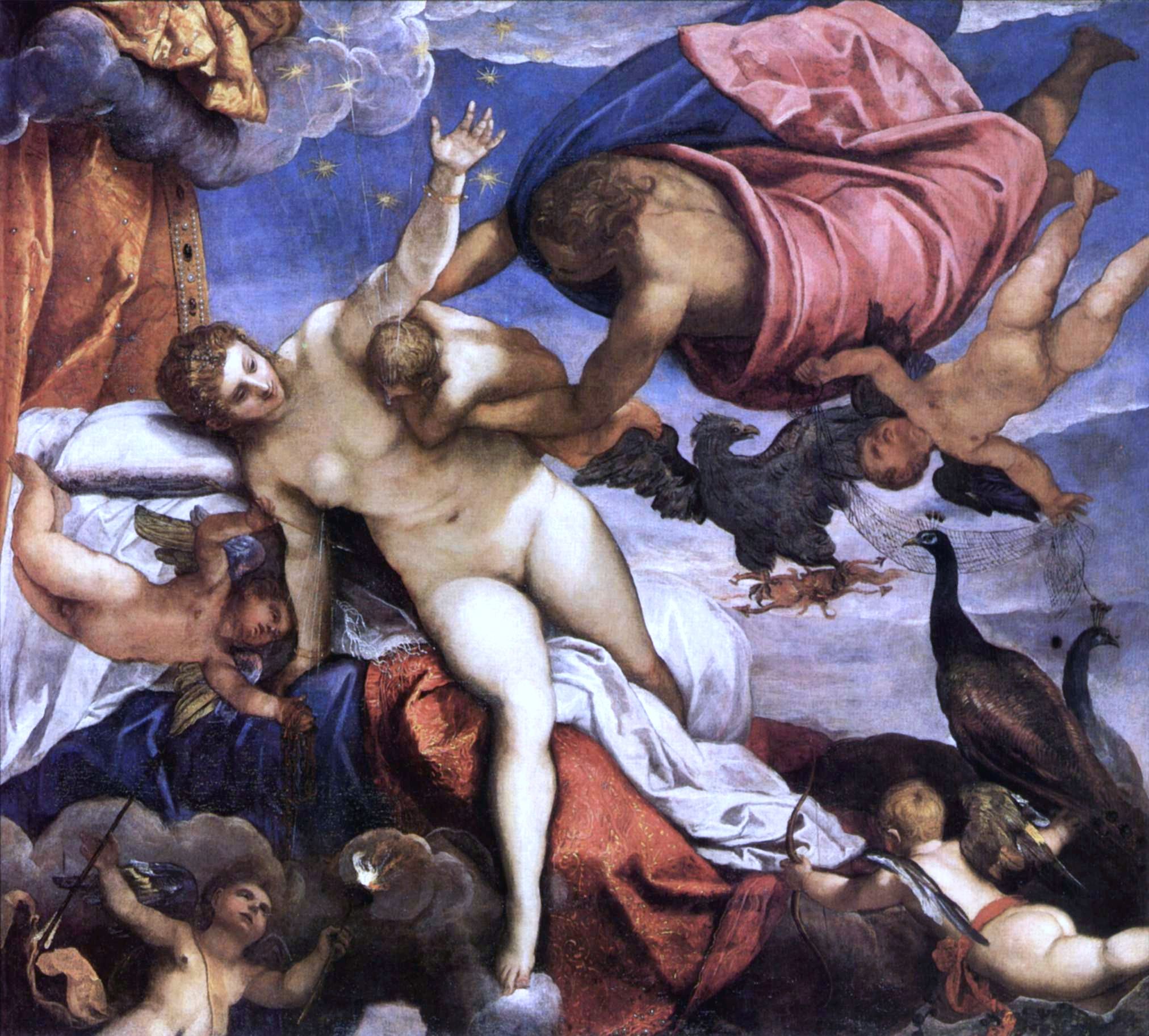
The Milky Way is the galaxy that includes our Solar System, with the name describing the galaxy's appearance from Earth: a hazy band of light seen in the night sky formed from stars that cannot be individually distinguished by the naked eye. The term ''Milky Way'' is a translation of the Latin ', from the Greek ('), meaning "milky circle". From Earth, the Milky Way appears as a band because its disk-shaped structure is viewed from within. Galileo Galilei first resolved the band of light into individual stars with his telescope in 1610. Until the early 1920s, most astronomers thought that the Milky Way contained all the stars in the Universe. Following the 1920 Great Debate between the astronomers Harlow Shapley and Heber Curtis, observations by Edwin Hubble showed that the Milky Way is just one of many galaxies. The Milky Way is a barred spiral galaxy with an estimated D25 isophotal diameter of , but only about 1,000 light years thick at the spiral arms (more at the bulg ... [...More Info...] [...Related Items...] OR: [Wikipedia] [Google] [Baidu] |
Southern Sky
The southern celestial hemisphere, also called the Southern Sky, is the southern half of the celestial sphere; that is, it lies south of the celestial equator. This arbitrary sphere, on which seemingly fixed stars form constellations, appears to rotate westward around a polar axis due to Earth's rotation. At any given time, the entire Southern Sky is visible from the geographic South Pole, while less of this hemisphere is visible the further north the observer is located. The northern counterpart is the northern celestial hemisphere. Astronomy In the context of astronomical discussions or writing about celestial mapping, it may also simply then be referred to as the Southern Hemisphere. For the purpose of celestial mapping, the sky is considered by astronomers as the inside of a sphere divided in two halves by the celestial equator. The Southern Sky or Southern Hemisphere is, therefore, that half of the celestial sphere that is south of the celestial equator. Even if ... [...More Info...] [...Related Items...] OR: [Wikipedia] [Google] [Baidu] |
Constellation
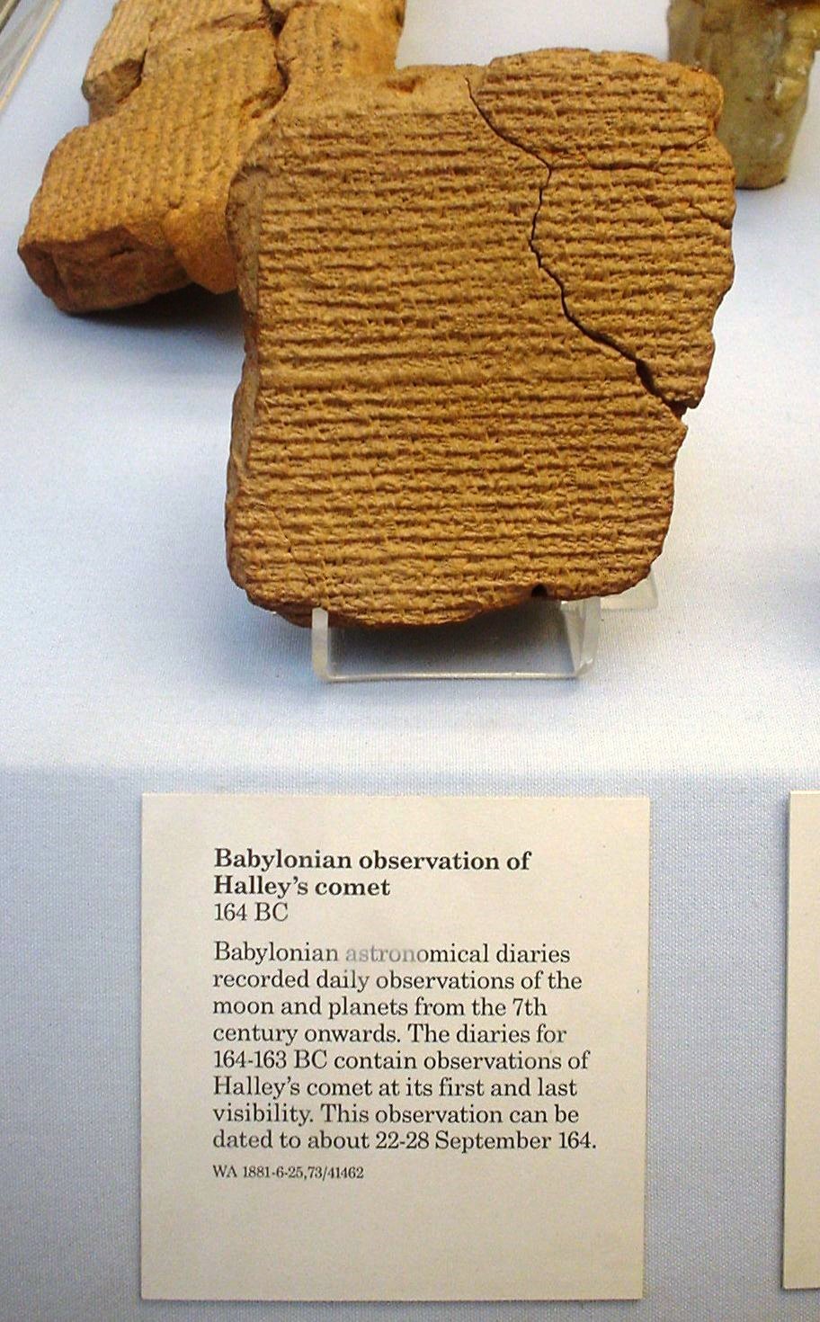
A constellation is an area on the celestial sphere in which a group of visible stars forms Asterism (astronomy), a perceived pattern or outline, typically representing an animal, mythological subject, or inanimate object. The origins of the earliest constellations likely go back to prehistory. People used them to relate stories of their beliefs, experiences, creation myth, creation, or mythology. Different cultures and countries adopted their own constellations, some of which lasted into the early 20th century before today's constellations were internationally recognized. The recognition of constellations has changed significantly over time. Many changed in size or shape. Some became popular, only to drop into obscurity. Some were limited to a single culture or nation. The 48 traditional Western constellations are Greek. They are given in Aratus' work ''Phenomena'' and Ptolemy's ''Almagest'', though their origin probably predates these works by several centuries. Constellation ... [...More Info...] [...Related Items...] OR: [Wikipedia] [Google] [Baidu] |


