|
USCGC Sebago (WHEC-42)
USCG ''Sebago'' (WHEC-42) was an ''Owasco'' class high endurance cutter which served with the US Coast Guard from 1945 to 1972. Originally intended for World War II service, she was not commissioned until a month after the end of hostilities and consequently did not see combat until her deployment in the Vietnam War more than 20 years later. ''Sebago'' was built by Western Pipe & Steel at the company's San Pedro shipyard. Named after Sebago Lake, Maine, she was commissioned as a patrol gunboat with ID number WPG-42 on 20 September 1945. Her ID was later changed to WHEC-42 (HEC for "High Endurance Cutter" - the "W" signifies a Coast Guard vessel). First commission ''Sebago'' was initially stationed at San Francisco, California but was transferred soon thereafter to Norfolk, Virginia where she served out of from 1 November 1945 to 1 June 1946. Here she was used for law enforcement, ocean station, and search and rescue operations. She was then stationed at Boston, Massachuset ... [...More Info...] [...Related Items...] OR: [Wikipedia] [Google] [Baidu] |
Western Pipe And Steel Company
The Western Pipe and Steel Company (WPS) was an American manufacturing company that is best remembered today for its construction of ships for the Maritime Commission in World War II. It also built ships for the U.S. Shipping Board in World War I and took part in the construction of the giant Grand Coulee Dam project in the 1930s. Early history The origins of the company are somewhat obscure. It appears it was organized in Los Angeles, California around 1907 by two brothers named Talbot and possibly a partner named T. A. Hays. Hays, a businessman with 21 years experience in the steel industry, was at some stage appointed Vice President of the new company, which in this period was a small- calibre steel pipe and metal casings manufacturer. An early President of the company was James A. Talbot, later to make and lose a fortune as the head of the Richfield Oil Company. Western Pipe & Steel quickly began to expand its operations. In 1910 it established a factory in Taft, Cali ... [...More Info...] [...Related Items...] OR: [Wikipedia] [Google] [Baidu] |
Norfolk, Virginia
Norfolk ( ) is an independent city in the Commonwealth of Virginia in the United States. Incorporated in 1705, it had a population of 238,005 at the 2020 census, making it the third-most populous city in Virginia after neighboring Virginia Beach and Chesapeake, and the 94th-largest city in the nation. Norfolk holds a strategic position as the historical, urban, financial, and cultural center of the Hampton Roads region, which has more than 1.8 million inhabitants and is the thirty-third largest Metropolitan Statistical area in the United States. Officially known as ''Virginia Beach-Norfolk-Newport News, VA-NC MSA'', the Hampton Roads region is sometimes called "Tidewater" and "Coastal Virginia"/"COVA," although these are broader terms that also include Virginia's Eastern Shore and entire coastal plain. Named for the eponymous natural harbor at the mouth of the Chesapeake Bay, Hampton Roads has ten cities, including Norfolk; seven counties in Virginia; and two counties in No ... [...More Info...] [...Related Items...] OR: [Wikipedia] [Google] [Baidu] |
Nassau, Bahamas
Nassau ( ) is the capital and largest city of the Bahamas. With a population of 274,400 as of 2016, or just over 70% of the entire population of the Bahamas, Nassau is commonly defined as a primate city, dwarfing all other towns in the country. It is the centre of commerce, education, law, administration, and media of the country. Lynden Pindling International Airport, the major airport for the Bahamas, is located about west of the city centre of Nassau, and has daily flights to major cities in Canada, the Caribbean, the United Kingdom and the United States. The city is located on the island of New Providence. Nassau is the site of the House of Assembly and various judicial departments and was considered historically to be a stronghold of pirates. The city was named in honour of William III of England, Prince of Orange-Nassau. Nassau's modern growth began in the late eighteenth century, with the influx of thousands of Loyalists and their slaves to the Bahamas following the ... [...More Info...] [...Related Items...] OR: [Wikipedia] [Google] [Baidu] |
Algiers, Louisiana
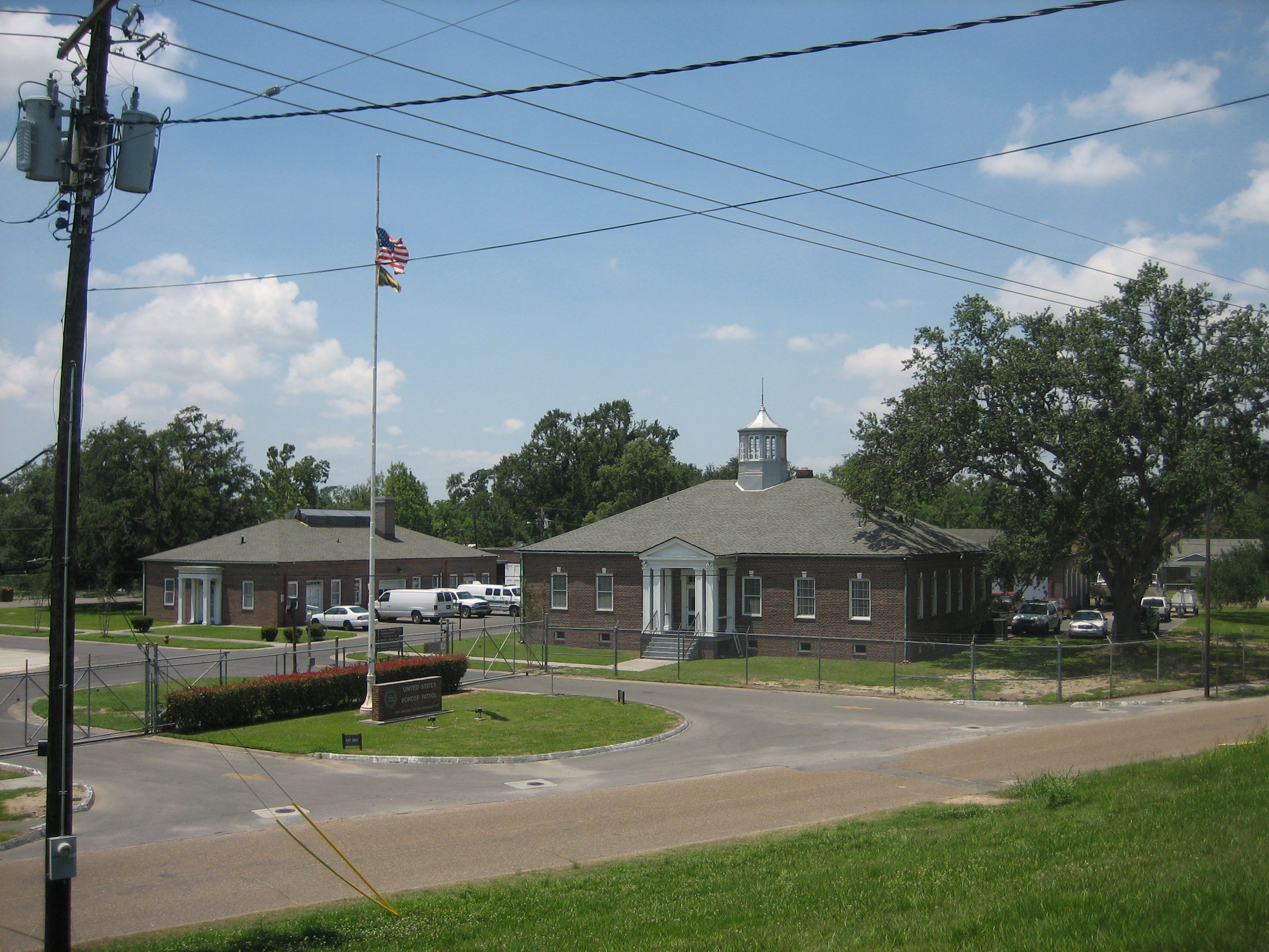
Algiers is a historic neighborhood of New Orleans and is the only Orleans Parish community located on the West Bank of the Mississippi River. Algiers is known as the 15th Ward, one of the 17 Wards of New Orleans. It was once home to many jazz musicians and is also the second oldest neighborhood in the city. Neighborhoods Algiers contains many neighborhoods such as * Algiers Point * McDonogh * Old Aurora * New Aurora * Lower Algiers (Cutoff, River Park) * Whitney * Behrman * Fischer Housing Development * Tall Timbers/Brechtel * McClendonville Education Primary and secondary schools Algiers is zoned to schools in the Orleans Parish School Board (OPSB), also known as New Orleans Public Schools (NOPS). The district has its headquarters in the Westbank area of Algiers. The schools include: * Martin Behrman Elementary School (K-8)- Algiers Point * Dwight D. Eisenhower Elementary School (K-8)- Tall Timbers/Brechtel * William J. Fischer Elementary School (K-8)- Fischer Development ... [...More Info...] [...Related Items...] OR: [Wikipedia] [Google] [Baidu] |
Shrimp
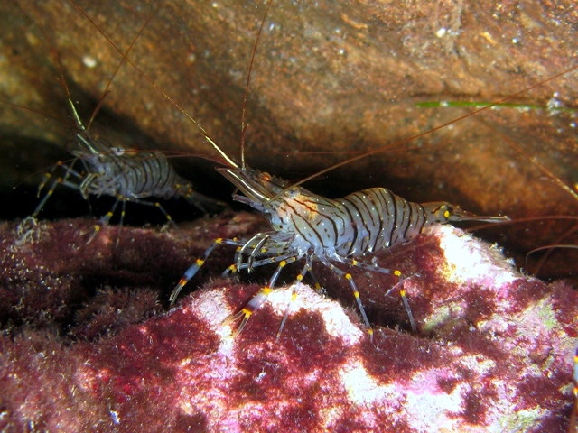
Shrimp are crustaceans (a form of shellfish) with elongated bodies and a primarily swimming mode of locomotion – most commonly Caridea and Dendrobranchiata of the decapod order, although some crustaceans outside of this order are referred to as "shrimp". More narrow definitions may be restricted to Caridea, to smaller species of either group or to only the marine species. Under a broader definition, ''shrimp'' may be synonymous with prawn, covering stalk-eyed swimming crustaceans with long, narrow muscular tails (abdomens), long whiskers ( antennae), and slender legs. Any small crustacean which resembles a shrimp tends to be called one. They swim forward by paddling with swimmerets on the underside of their abdomens, although their escape response is typically repeated flicks with the tail driving them backwards very quickly. Crabs and lobsters have strong walking legs, whereas shrimp have thin, fragile legs which they use primarily for perching.Rudloe & Rudloe (2009 ... [...More Info...] [...Related Items...] OR: [Wikipedia] [Google] [Baidu] |
Mexico
Mexico (Spanish: México), officially the United Mexican States, is a country in the southern portion of North America. It is bordered to the north by the United States; to the south and west by the Pacific Ocean; to the southeast by Guatemala, Belize, and the Caribbean Sea; and to the east by the Gulf of Mexico. Mexico covers ,Mexico ''''. . making it the world's 13th-largest country by are ... [...More Info...] [...Related Items...] OR: [Wikipedia] [Google] [Baidu] |
Campeche Bank
Campeche Bank is part of the Gulf of Mexico and extends from the Yucatan Straits in the east to the Tabasco-Campeche Basin in the west.Campeche Bankin Geonames.org (cc-by)/ref> The Campeche ocean bank is from Mexico's geography of Campeche nautically bearing south of the Tropic of Cancer. Campeche Bank is cast as cays and reefs with islets encompassing Arrecife Alacran and Sigsbee Deep to the north with a southwest island arc of the Cayos Arcas archipelago isolated north of Ciudad del Carmen Ciudad del Carmen is a city in the southwest of the Mexican state of Campeche. Ciudad del Carmen is located at on the southwest of Carmen Island, which stands in the Laguna de Términos on the coast of the Gulf of Mexico. , Ciudad del Carmen ha .... References External links * * * * Landforms of the Gulf of Mexico Natural history of Campeche Islands of Campeche Undersea banks of the Atlantic Ocean {{Marine-geo-stub ... [...More Info...] [...Related Items...] OR: [Wikipedia] [Google] [Baidu] |
Mobile, Alabama
Mobile ( , ) is a city and the county seat of Mobile County, Alabama, United States. The population within the city limits was 187,041 at the 2020 United States census, 2020 census, down from 195,111 at the 2010 United States census, 2010 census. It is the fourth-most-populous city in Alabama, after Huntsville, Alabama, Huntsville, Birmingham, Alabama, Birmingham, and Montgomery, Alabama, Montgomery. Alabama's only saltwater port, Mobile is located on the Mobile River at the head of Mobile Bay on the north-central Gulf Coast. The Port of Mobile has always played a key role in the economic health of the city, beginning with the settlement as an important trading center between the French colonization of the Americas, French colonists and Native Americans in the United States, Native Americans, down to its current role as the 12th-largest port in the United States.Drechsel, Emanuel. ''Mobilian Jargon: Linguistic and Sociohistorical Aspects of a Native American Pidgin''. New York: ... [...More Info...] [...Related Items...] OR: [Wikipedia] [Google] [Baidu] |
Maryland
Maryland ( ) is a state in the Mid-Atlantic region of the United States. It shares borders with Virginia, West Virginia, and the District of Columbia to its south and west; Pennsylvania to its north; and Delaware and the Atlantic Ocean to its east. Baltimore is the largest city in the state, and the capital is Annapolis. Among its occasional nicknames are '' Old Line State'', the ''Free State'', and the '' Chesapeake Bay State''. It is named after Henrietta Maria, the French-born queen of England, Scotland, and Ireland, who was known then in England as Mary. Before its coastline was explored by Europeans in the 16th century, Maryland was inhabited by several groups of Native Americans – mostly by Algonquian peoples and, to a lesser degree, Iroquoian and Siouan. As one of the original Thirteen Colonies of England, Maryland was founded by George Calvert, 1st Baron Baltimore, a Catholic convert"George Calvert and Cecilius Calvert, Barons Baltimore" William Hand Browne, ... [...More Info...] [...Related Items...] OR: [Wikipedia] [Google] [Baidu] |
Curtis Bay, Baltimore
Curtis Bay is a residential / commercial / industrial neighborhood in the southern portion of the City of Baltimore, Maryland, United States. The neighborhood is on steep sloping heights, about four city blocks wide (west to east) and fifteen blocks long (north to south) and above and surrounded on three sides (northeast - east - southeast) in a highly industrialized waterfront area in the southern part of the city, and receives its name from the body (cove) of water to the east in which it sits. The cove of "Curtis Bay" with two small branches - Stone House Cove and Cabin Branch is fed from the southwest by Curtis Creek which in turn is formed further south by Marley Creek and Furnace Branch/Creek in Anne Arundel County. Adjoining nearby to the east is Thoms Cove near Hawkins Point at the north end of the Marley Neck peninsula. Curtis Bay cove itself also has a dredged deep water channel with considerable port facilities and waterfront industries and is a branch of the main stem ... [...More Info...] [...Related Items...] OR: [Wikipedia] [Google] [Baidu] |
Newfoundland (island)
Newfoundland (, ; french: link=no, Terre-Neuve, ; ) is a large island off the east coast of the North American mainland and the most populous part of the Canadian province of Newfoundland and Labrador. It has 29 percent of the province's land area. The island is separated from the Labrador Peninsula by the Strait of Belle Isle and from Cape Breton Island by the Cabot Strait. It blocks the mouth of the Saint Lawrence River, creating the Gulf of Saint Lawrence, the world's largest estuary. Newfoundland's nearest neighbour is the French overseas collectivity of Saint Pierre and Miquelon. With an area of , Newfoundland is the world's 16th-largest island, Canada's fourth-largest island, and the largest Canadian island outside the North. The provincial capital, St. John's, is located on the southeastern coast of the island; Cape Spear, just south of the capital, is the easternmost point of North America, excluding Greenland. It is common to consider all directly neighbouring i ... [...More Info...] [...Related Items...] OR: [Wikipedia] [Google] [Baidu] |


