|
U.S. Route 160 In Arizona
U.S. Route 160 (US 160) travels west to east across the Navajo Nation and Northeast Arizona for . US 160 begins at a junction with US 89 north of Cameron and exits the state into New Mexico southeast of the Four Corners National Monument. Along its journey, the route connects the communities of Tuba City, Moenkopi, Rare Metals, Tonalea, Tsegi, Kayenta, Dennehotso, Mexican Water, Red Mesa, and Teec Nos Pos. The vast majority of US 160's route through Arizona runs through rural and sparsely populated sections. As a result, the road is entirely two-lane except two short four-lane sections in Tuba City and Kayenta. Most of US 160 in Arizona is also known as the Navajo Trail. History The current routing of US 160 was first planned in 1956, as Navajo Route 1, the first road of a reservation-wide highway system for the Navajo Nation. In 1961, the route between US 89 and Teec Nos Pos became a state highway as part of Arizona State Route 64, while the segment from Teec ... [...More Info...] [...Related Items...] OR: [Wikipedia] [Google] [Baidu] |
Cameron, Arizona
Cameron ( nv, ) is a census-designated place (CDP) in Coconino County, Arizona, United States, on the Navajo Nation. The population was 885 at the 2010 census. Most of the town's economy is tourist food and craft stalls, restaurants, and other services for north–south traffic from Flagstaff and Page. There is a ranger station supplying information and hiking permits for the Navajo Nation as well as a small selection of books for sale. There is also a large craft store run by the Nation itself; most vendors in the area operate from small private stalls. It is named after Ralph H. Cameron, Arizona's first senator. Geography Cameron is located at (35.855410, -111.421465) on the Navajo Nation. Elevation is above sea level. It is immediately south of the Little Colorado River, just above the beginning of the Little Colorado River Gorge and the stream's descent into the Grand Canyon. Cameron lies at the intersection of US 89 and State Route 64, not far from the Desert View e ... [...More Info...] [...Related Items...] OR: [Wikipedia] [Google] [Baidu] |
Dennehotso, Arizona
Dennehotso ( nv, ) is a census-designated place (CDP) in Apache County, Arizona, United States. The population was 746 at the 2010 census. Geography Dennehotso is located at (36.837286, -109.860884). According to the United States Census Bureau, the CDP has a total area of , all land. Demographics As of the census of 2000, there were 734 people, 168 households, and 141 families residing in the CDP. The population density was . There were 233 housing units at an average density of 23.4/sq mi (9.1/km2). The racial makeup of the CDP was 98.6% Native American, 0.8% White, and 0.5% from two or more races. 0.3% of the population were Hispanic or Latino of any race. There were 168 households, out of which 56.5% had children under the age of 18 living with them, 55.4% were married couples living together, 24.4% had a female householder with no husband present, and 15.5% were non-families. 14.9% of all households were made up of individuals, and 5.4% had someone living a ... [...More Info...] [...Related Items...] OR: [Wikipedia] [Google] [Baidu] |
Transportation In Navajo County, Arizona
Transport (in British English), or transportation (in American English), is the intentional movement of humans, animals, and goods from one location to another. Modes of transport include air, land ( rail and road), water, cable, pipeline, and space. The field can be divided into infrastructure, vehicles, and operations. Transport enables human trade, which is essential for the development of civilizations. Transport infrastructure consists of both fixed installations, including roads, railways, airways, waterways, canals, and pipelines, and terminals such as airports, railway stations, bus stations, warehouses, trucking terminals, refueling depots (including fueling docks and fuel stations), and seaports. Terminals may be used both for interchange of passengers and cargo and for maintenance. Means of transport are any of the different kinds of transport facilities used to carry people or cargo. They may include vehicles, riding animals, and pack animals. Vehicles m ... [...More Info...] [...Related Items...] OR: [Wikipedia] [Google] [Baidu] |
Transportation In Coconino County, Arizona
Transport (in British English), or transportation (in American English), is the intentional movement of humans, animals, and goods from one location to another. Modes of transport include air, land (rail and road), water, cable, pipeline, and space. The field can be divided into infrastructure, vehicles, and operations. Transport enables human trade, which is essential for the development of civilizations. Transport infrastructure consists of both fixed installations, including roads, railways, airways, waterways, canals, and pipelines, and terminals such as airports, railway stations, bus stations, warehouses, trucking terminals, refueling depots (including fueling docks and fuel stations), and seaports. Terminals may be used both for interchange of passengers and cargo and for maintenance. Means of transport are any of the different kinds of transport facilities used to carry people or cargo. They may include vehicles, riding animals, and pack animals. Vehicles may incl ... [...More Info...] [...Related Items...] OR: [Wikipedia] [Google] [Baidu] |
Cortez, Colorado
Cortez () is a home rule municipality that is the county seat and the most populous municipality of Montezuma County, Colorado, United States. The city population was 8,766 at the 2020 United States Census. History In 1886, the town was built to provide housing for the men working on the tunnels and irrigation ditches required to divert water out of the Dolores River and into Montezuma Valley. The town was named for Spanish conquistador Hernán Cortés. It is a popular stop for tourists, who stay there because of its central location among surrounding attractions, such as Mesa Verde National Park, Monument Valley, and the Four Corners. Prehistoric sites There are many prehistoric sites in the Cortez area, listed on the Colorado State Register of Historic Properties or both the state register and the National Register of Historic Places: They include large parks or centers, such as Crow Canyon Archaeological Center, Canyon of the Ancients National Monument, Hovenweep National ... [...More Info...] [...Related Items...] OR: [Wikipedia] [Google] [Baidu] |
Shiprock, New Mexico
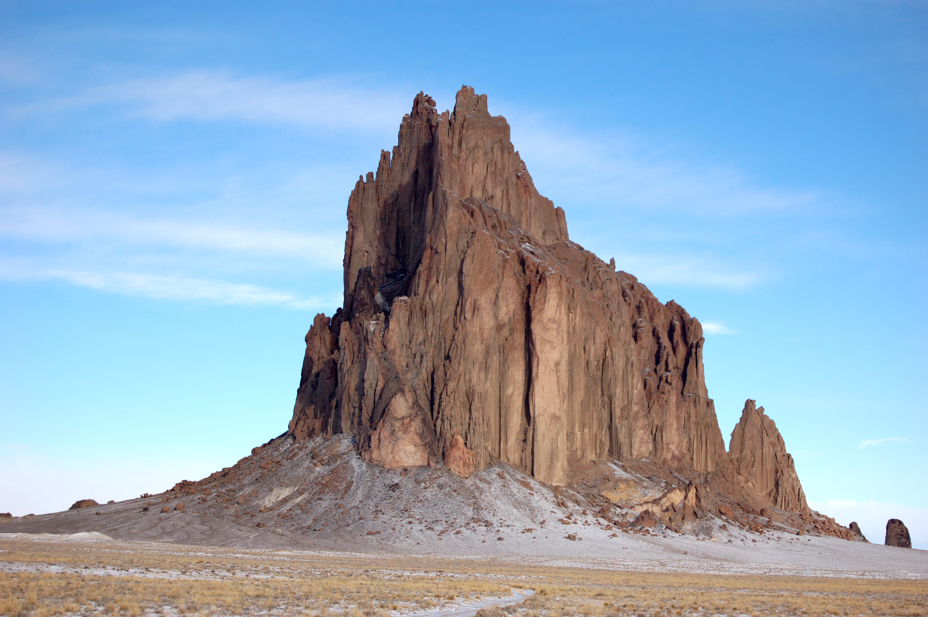
Shiprock ( nv, ) is a unincorporated community on the Navajo Nation, Navajo reservation in San Juan County, New Mexico, United States. The population was 7,718 people in the 2020 United States census, 2020 census. For statistical purposes, the United States Census Bureau has defined Shiprock as a census-designated place (CDP). It is part of the Farmington, New Mexico, Farmington Metropolitan Statistical Area. Shiprock is named after the nearby Shiprock rock formation. Since 1903, the town has been called ''Naat’áanii Nééz'' (meaning “tall leader” in the Navajo language) after the San Juan Indian Agency superintendent William T. Shelton who settled Shiprock for the United States government. Diné College is a local four-year college (formerly Navajo Community College), a Tribal colleges and universities, tribally controlled community college with seven other campuses across the Navajo Nation. It is the site of a Chapter House for the Navajo, a Bureau of Indian Affairs ag ... [...More Info...] [...Related Items...] OR: [Wikipedia] [Google] [Baidu] |
Bluff, Utah
Bluff is a town in San Juan County, Utah, United States. The population was 320 at the 2000 census. Bluff incorporated in 2018. History Under the direction of John Taylor, Silas S. Smith and Danish settler Jens Nielson led about 230 Mormons on an expedition to start a farming community in southeastern Utah. After forging about 200 miles (320 kilometers) of their own trail over difficult terrain, the settlers arrived on the site of Bluff in April 1880. (The trail followed went over and down the " Hole in the Rock", which now opens into one of the tributaries of Lake Powell.) The town was named for the bluffs near the town site. The town's population had declined to seventy by 1930 but rebounded during a uranium prospecting boom in the 1950s. With the uranium decline in the 1970s, Bluff again declined and now remains a small town with about 200 residents. Geography Bluff is located in the sparsely populated southeastern Utah canyonlands of the Colorado Plateau. The community ... [...More Info...] [...Related Items...] OR: [Wikipedia] [Google] [Baidu] |
Utah
Utah ( , ) is a state in the Mountain West subregion of the Western United States. Utah is a landlocked U.S. state bordered to its east by Colorado, to its northeast by Wyoming, to its north by Idaho, to its south by Arizona, and to its west by Nevada. Utah also touches a corner of New Mexico in the southeast. Of the fifty U.S. states, Utah is the 13th-largest by area; with a population over three million, it is the 30th-most-populous and 11th-least-densely populated. Urban development is mostly concentrated in two areas: the Wasatch Front in the north-central part of the state, which is home to roughly two-thirds of the population and includes the capital city, Salt Lake City; and Washington County in the southwest, with more than 180,000 residents. Most of the western half of Utah lies in the Great Basin. Utah has been inhabited for thousands of years by various indigenous groups such as the ancient Puebloans, Navajo and Ute. The Spanish were the first Europe ... [...More Info...] [...Related Items...] OR: [Wikipedia] [Google] [Baidu] |
Monument Valley
Monument Valley ( nv, Tsé Biiʼ Ndzisgaii, , meaning ''valley of the rocks'') is a region of the Colorado Plateau characterized by a cluster of sandstone buttes, the largest reaching above the valley floor. It is located on the Utah-Arizona state line, near the Four Corners area. The valley is a sacred area that lies within the territory of the Navajo Nation Reservation, the Native American people of the area. Monument Valley has been featured in many forms of media since the 1930s. Director John Ford used the location for a number of his Westerns; critic Keith Phipps wrote that "its have defined what decades of moviegoers think of when they imagine the American West." Geography and geology The area is part of the Colorado Plateau. The elevation of the valley floor ranges from above sea level. The floor is largely siltstone of the Cutler Group, or sand derived from it, deposited by the meandering rivers that carved the valley. The valley's vivid red color comes from iron ... [...More Info...] [...Related Items...] OR: [Wikipedia] [Google] [Baidu] |
Mexican Hat, Utah
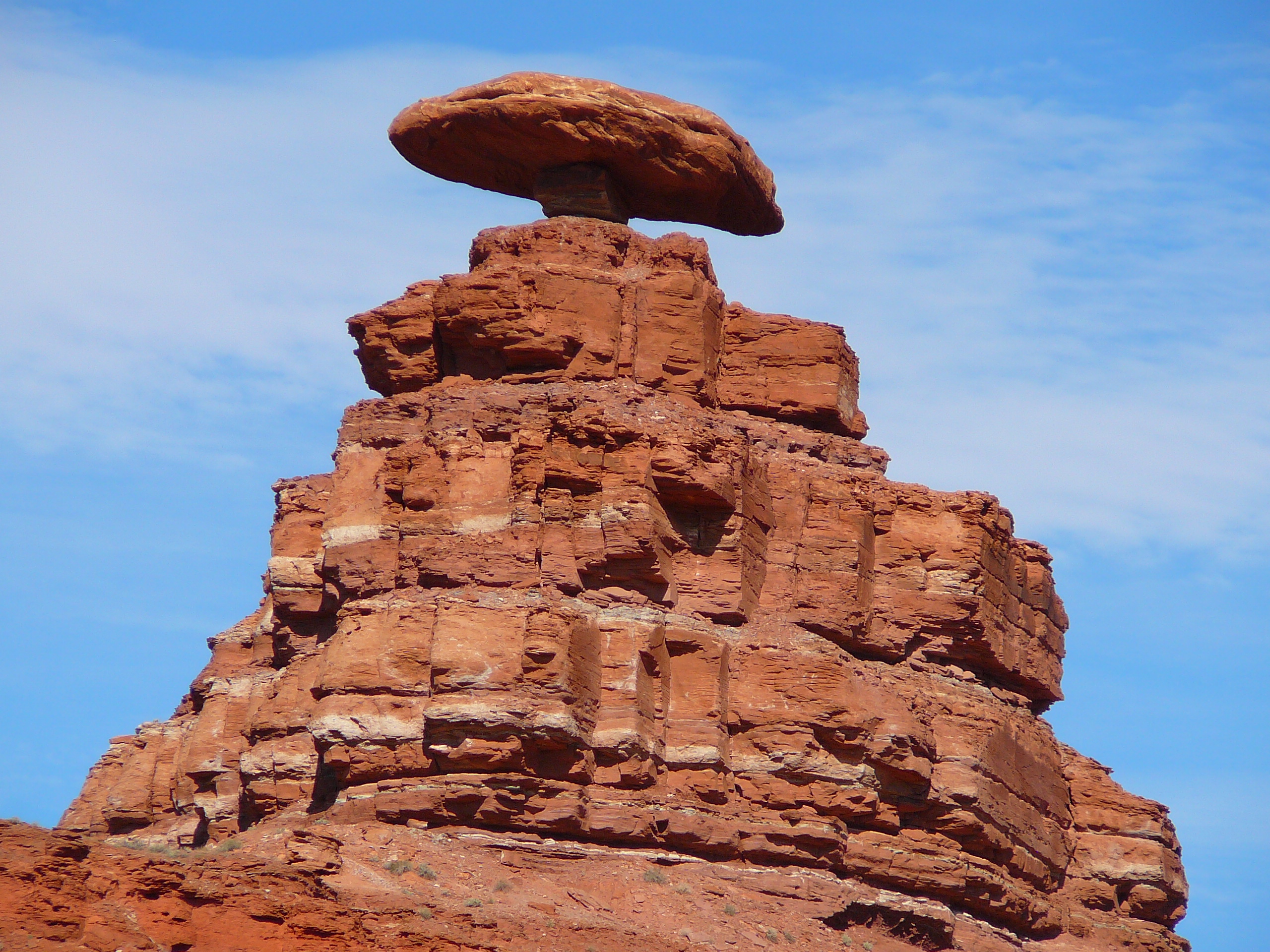
Mexican Hat is a census-designated place (CDP) in Utah in the United States. It is on the San Juan River on the northern edge of the Navajo Nation's borders in south-central San Juan County. The population was 31 in the 2010 census, a sharp decline from the previous two censuses. History The name "Mexican Hat" comes from a curiously sombrero-shaped rock outcropping on the northeast edge of town; the rock measures wide by . The "Hat" has two rock climbing routes ascending it. Mexican Hat has frequently been noted on lists of unusual place names. In 2016, the U.S. Route 163 bridge crossing the San Juan River on the south border of the town was renamed the " Jason R. Workman Memorial Bridge" after a member of SEAL Team Six who was killed in action in Afghanistan on August 6, 2011. Workman was a 1997 graduate of the nearby San Juan High School. Geography The CDP is on U.S. Route 163, just south of the junction with State Route 261, and is just outside the northern boundary ... [...More Info...] [...Related Items...] OR: [Wikipedia] [Google] [Baidu] |
Grand Canyon
The Grand Canyon (, yuf-x-yav, Wi:kaʼi:la, , Southern Paiute language: Paxa’uipi, ) is a steep-sided canyon carved by the Colorado River in Arizona, United States. The Grand Canyon is long, up to wide and attains a depth of over a mile (). The canyon and adjacent rim are contained within Grand Canyon National Park, the Kaibab National Forest, Grand Canyon–Parashant National Monument, the Hualapai Indian Reservation, the Havasupai Indian Reservation and the Navajo Nation. President Theodore Roosevelt was a major proponent of the preservation of the Grand Canyon area and visited it on numerous occasions to hunt and enjoy the scenery. Nearly two billion years of Earth's geological history have been exposed as the Colorado River and its tributaries cut their channels through layer after layer of rock while the Colorado Plateau was uplifted. [...More Info...] [...Related Items...] OR: [Wikipedia] [Google] [Baidu] |
Arizona Department Of Transportation
The Arizona Department of Transportation (ADOT, pronounced "A-Dot") is an Arizona state government agency charged with facilitating mobility within the state. In addition to managing the state's state highways, highway system, the agency is also involved with public transportation and airport, municipal airports. The department was created in 1974 when the state merged the Arizona Highway Department with the Arizona Department of Aeronautics. ADOT was a pioneer in the use of rubberized asphalt as a method to increase durability and reduce road noise on state highways while providing an opportunity to tire recycling, recycle scrap tires. Its "Quiet Pavement" project started in 2003 surfaced about of Phoenix-area freeways with rubberized asphalt. Former U.S. Secretary of Transportation Mary Peters (politician), Mary Peters had previously been a Director of ADOT. The current Federal Highway Administrator, Victor Mendez, was also previously a Director of ADOT. ADOT's publications di ... [...More Info...] [...Related Items...] OR: [Wikipedia] [Google] [Baidu] |


