|
Toratau
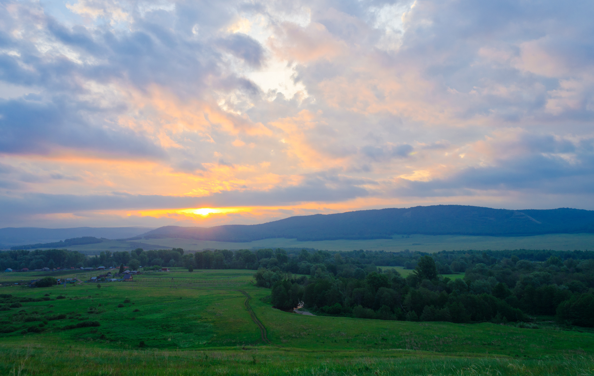
Toratau ( ba, ąóąŠčĆą░čéą░čā ŌĆö ┬½fortress mountain┬╗) - one of the four shihans, located in Ishimbaysky District, on the border with the city Sterlitamak. The remainder of the reef, the Lower Permian (Late Paleozoic) reef massif, formed over 230 million years ago in the tropical sea. This natural monument may be destroyed by The Bashkir soda company and Russian authorities. Physiographic characteristic Length - 1 km, width 850 m, height - above the Belaya River- 220 m, above the soil level - 200 m, the absolute height above the sea level - 338 m. Has a conical shape. Slopes - 20-30 degrees, but do not form rocky ledges. The lower part is covered with screes. At the base of the northern slope of the mountain there are springs, one with sulphurous water. At the foot of Yuraktau is located the lake Moksha. File:Toratau 1.jpg, File:Shihan Toratau.jpg, Shihan Toratau in the colors of the Flag of Bashkortostan The flag of the Republic of Bashkortostan ( ba, ąæą░čłęĪąŠč ... [...More Info...] [...Related Items...] OR: [Wikipedia] [Google] [Baidu] |
Shihan (single Hill)
Shihan or Shikhan ( ba, ą©ąĖčģą░ąĮ) is a hill or ridge of isolated chalk hills that are stretched out along with the Belaya River, next to the Sterlitamak city in Bashkortostan Republic, Russia. Prominently standing out of the landscape (akin to buttes) they are notable local landmarks. In the Western Urals, the shihans geologically are reef residues left by ancient seas and are composed of sedimentary limestone. In the Urals, shihans are rocky peaks of the mountains. In the Volga region shihans often can be met on the slopes of river valleys. Shihans in Bashkortostan The ridge in Bashkortostan consist of four isolated mountains: Toratau, Shakhtau, Yuraktau and Kushtau, forming a narrow chain stretching along the Belaya River () for 20 km. The mountains are located nearby Sterlitamak, Ishimbay and Salavat cities and are remnants of Fringing reef that formed in warm seas of early Permian period. The sediments have fossils that mostly consist of remains of ancient invert ... [...More Info...] [...Related Items...] OR: [Wikipedia] [Google] [Baidu] |
Bashkortostan
The Republic of Bashkortostan or Bashkortostan ( ba, ąæą░čłęĪąŠčĆč鹊čüčéą░ąĮ ąĀąĄčüą┐čāą▒ą╗ąĖą║ą░ę╗čŗ, Bashqortostan Respublikahy; russian: ąĀąĄčüą┐čāą▒ą╗ąĖą║ą░ ąæą░čłą║ąŠčĆč鹊čüčéą░ąĮ, Respublika Bashkortostan),; russian: ąĀąĄčüą┐čā╠üą▒ą╗ąĖą║ą░ ąæą░čłą║ąŠčĆč鹊čüčéą░╠üąĮ, r=Respublika Bashkortostan, p=r╩▓╔¬s╦łpubl╩▓╔¬k╔Ö b╔Ö╩ék╔Ört╔É╦łstan also unofficially called Bashkiria (russian: ąæą░čłą║ąĖčĆąĖčÅ, tr. Bashkiriya), is a republic of Russia located between the Volga and the Ural Mountains in Eastern Europe. It covers and has a population of 4 million. It is Russia's 7th most populous federal subject and most populous republic. Its capital and largest city is Ufa. Bashkortostan was established on .ąØą░čåąĖąŠąĮą░ą╗čīąĮąŠ-ą│ąŠčüčāą┤ą░čĆčüčéą▓ąĄąĮąĮąŠąĄ čāčüčéčĆąŠą╣čüčéą▓ąŠ ąæą░čłą║ąŠčĆč鹊čüčéą░ąĮą░, 1917ŌĆō1925 ą│ą│: ą×ą▒čēąĄąĄ ą▓ą▓ąĄą┤ąĄąĮąĖąĄ ąĖ ąóąŠą╝ 1 // ąæąĖą╗ą░ą╗ ąźą░ą╝ąĖč鹊ą▓ąĖčć ą«ą╗ą┤ą░čłą▒ą░ąĄą▓, ąÜąĖčéą░ą┐, 2002, , 9785295029165ąźčĆąĄčüč鹊ą╝ą░čéąĖčÅ ą┐ąŠ ąĖč ... [...More Info...] [...Related Items...] OR: [Wikipedia] [Google] [Baidu] |
Ishimbaysky District
Ishimbaysky District (russian: ąśčłąĖą╝ą▒ą░╠üą╣čüą║ąĖą╣ čĆą░ą╣ąŠ╠üąĮ; ba, ąśčłąĄą╝ą▒ą░ą╣ čĆą░ą╣ąŠąĮčŗ, ─░┼¤embay rayon─▒) is an administrativeConstitution of the Republic of Bashkortostan, Article 64 and municipalLaw #126-z district (raion), one of the fifty-four in the Republic of Bashkortostan, Russia. It is located in the southern central part of the republic and borders with Gafuriysky District in the north, Beloretsky District in the northeast, Burzyansky District in the east and southeast, Meleuzovsky District in the south, and with Sterlitamaksky District in the west. The area of the district is .Official website of Ishimbaysky DistrictGeneral Information About the District Its administrative center is the town of Ishimbay (which is not administratively a part of the district). As of the 2010 Census, the total population of the district was 25,042. History The district was established on March 20, 1937.Official website of Ishimbaysky DistrictBrief Histori ... [...More Info...] [...Related Items...] OR: [Wikipedia] [Google] [Baidu] |
Russia
Russia (, , ), or the Russian Federation, is a List of transcontinental countries, transcontinental country spanning Eastern Europe and North Asia, Northern Asia. It is the List of countries and dependencies by area, largest country in the world, with its internationally recognised territory covering , and encompassing one-eighth of Earth's inhabitable landmass. Russia extends across Time in Russia, eleven time zones and shares Borders of Russia, land boundaries with fourteen countries, more than List of countries and territories by land borders, any other country but China. It is the List of countries and dependencies by population, world's ninth-most populous country and List of European countries by population, Europe's most populous country, with a population of 146 million people. The country's capital and List of cities and towns in Russia by population, largest city is Moscow, the List of European cities by population within city limits, largest city entirely within E ... [...More Info...] [...Related Items...] OR: [Wikipedia] [Google] [Baidu] |
Southern Ural
Southern Ural - the south, the widest part of the Ural Mountains, stretches from the river Ufa (near the village of Lower Ufaley) to the Ural River. From the west and east the Southern Ural is limited to the East European, West Siberian Plain and the steppes near Aral Sea and Caspian sea. Geography The relief of the Southern Urals is complex, with numerous valleys and parallel ridges directed south-west and meridionally. The range includes the Ilmensky Mountains separated from the main ridges by the Miass River. The maximum height is (Mount Yamantau) and the width reaches . Other notable peaks lie along the Iremel mountain ridge (Bolshoy Iremel and Maly Iremel), the Nurgush, highest point , and the Nakas, highest point . The Southern Urals extend some up to the sharp westward bend of the Ural River and terminate in the wide Mugodzhar Hills. The foothills of the Southern Urals extend up to with an average width between and . The Southern Urals include lakes such as Zyuratkul ... [...More Info...] [...Related Items...] OR: [Wikipedia] [Google] [Baidu] |

