|
Typhoon Tingting
Typhoon Tingting was a destructive tropical cyclone that produced record-breaking rains in Guam. The eighth named storm of the 2004 Pacific typhoon season, Tingting originated from a tropical depression over the open waters of the western Pacific Ocean. The storm gradually intensified as it traveled northwest, becoming a typhoon on June 28 and reaching its peak the following day while passing through the Mariana Islands. After maintaining typhoon intensity for three days, a combination of dry air and cooler sea surface temperatures caused the storm to weaken as it traveled northward. On July 1, the storm passed by the Bonin Islands, off the coast of Japan, before moving out to sea. By July 4, Tinting had transitioned into an extratropical cyclone. The remnants were last reported by the Japan Meteorological Agency, the Regional Specialized Meteorological Center for the western Pacific basin, near the International Date Line on July 13. While passing through the ... [...More Info...] [...Related Items...] OR: [Wikipedia] [Google] [Baidu] |
Mariana Islands
The Mariana Islands (; also the Marianas; in Chamorro: ''Manislan Mariånas'') are a crescent-shaped archipelago comprising the summits of fifteen longitudinally oriented, mostly dormant volcanic mountains in the northwestern Pacific Ocean, between the 12th and 21st parallels north and along the 145th meridian east. They lie south-southeast of Japan, west-southwest of Hawaii, north of New Guinea and east of the Philippines, demarcating the Philippine Sea's eastern limit. They are found in the northern part of the western Oceanic sub-region of Micronesia, and are politically divided into two jurisdictions of the United States: the Commonwealth of the Northern Mariana Islands and, at the southern end of the chain, the territory of Guam. The islands were named after the influential Spanish queen Mariana of Austria following their colonization in the 17th century. The indigenous inhabitants are the Chamorro people. Archaeologists in 2013 reported findings which indicated that the ... [...More Info...] [...Related Items...] OR: [Wikipedia] [Google] [Baidu] |
Deformation (meteorology)
Deformation is the rate of change of shape of fluid bodies. Meteorologically, this quantity is very important in the formation of atmospheric fronts, in the explanation of cloud shapes, and in the diffusion of materials and properties.Djurić, D: "Weather Analysis". Prentice Hall, 1994. . Equations The deformation of horizontal wind is defined as \operatorname \mathbf = \sqrt, where \ A = \frac + \frac and \ B = \frac - \frac, representing the derivatives of wind component. Because these derivatives vary greatly with the rotation of the coordinate system, so do \ A and \ B. Stretching direction The deformation elements \ A and \ B (above) can be used to find the ''direction of the dilatation axis'', the line along which the material elements stretch (also known as the ''stretching direction''). Several flow patterns are characteristic of large deformation: confluence, diffluence, and shear flow. , also known as ''stretching'', is the elongating of a fluid body along the flow ( ... [...More Info...] [...Related Items...] OR: [Wikipedia] [Google] [Baidu] |
Typhoon Mindulle And Tingting 2004 June 30
A typhoon is a mature tropical cyclone that develops between 180° and 100°E in the Northern Hemisphere. This region is referred to as the Northwestern Pacific Basin, and is the most active tropical cyclone basin on Earth, accounting for almost one-third of the world's annual tropical cyclones. For organizational purposes, the northern Pacific Ocean is divided into three regions: the eastern (North America to 140°W), central (140°W to 180°), and western (180° to 100°E). The Regional Specialized Meteorological Center (RSMC) for tropical cyclone forecasts is in Japan, with other tropical cyclone warning centers for the northwest Pacific in Hawaii (the Joint Typhoon Warning Center), the Philippines, and Hong Kong. Although the RSMC names each system, the main name list itself is coordinated among 18 countries that have territories threatened by typhoons each year. Within most of the northwestern Pacific, there are no official typhoon seasons as tropical cyclones form thr ... [...More Info...] [...Related Items...] OR: [Wikipedia] [Google] [Baidu] |
Iwo Jima
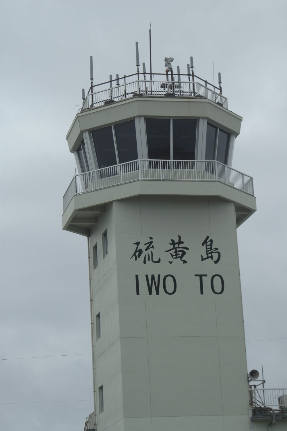
Iwo Jima (, also ), known in Japan as , is one of the Japanese Volcano Islands and lies south of the Bonin Islands. Together with other islands, they form the Ogasawara Archipelago. The highest point of Iwo Jima is Mount Suribachi at high. Although south of the metropolis of Tokyo on the mainland, this island of 21 km2 (8 square miles) is administered as part of the Ogasawara Subprefecture of Tokyo. Since July 1944, when all the civilians were forcibly evacuated, the island has had a military-only population. The island was the location of the Battle of Iwo Jima between February 1945 and March 1945. This engagement saw some of the fiercest fighting of the Pacific War, with each side suffering over 20,000 casualties in the battle. The island became globally recognized when Joe Rosenthal, of the Associated Press, published his photograph '' Raising the Flag on Iwo Jima'', taken on Mount Suribachi. The US military occupied Iwo Jima until 1968, when it was returned to ... [...More Info...] [...Related Items...] OR: [Wikipedia] [Google] [Baidu] |
Sea Surface Temperature
Sea surface temperature (SST), or ocean surface temperature, is the ocean temperature close to the surface. The exact meaning of ''surface'' varies according to the measurement method used, but it is between and below the sea surface. Air masses in the Earth's atmosphere are highly modified by sea surface temperatures within a short distance of the shore. Localized areas of heavy snow can form in bands downwind of warm water bodies within an otherwise cold air mass. Warm sea surface temperatures are known to be a cause of tropical cyclogenesis over the Earth's oceans. Tropical cyclones can also cause a cool wake, due to turbulent mixing of the upper of the ocean. SST changes diurnally, like the air above it, but to a lesser degree. There is less SST variation on breezy days than on calm days. In addition, ocean currents such as the Atlantic Multidecadal Oscillation (AMO), can affect SST's on multi-decadal time scales, a major impact results from the global thermohaline ci ... [...More Info...] [...Related Items...] OR: [Wikipedia] [Google] [Baidu] |
Sarigan
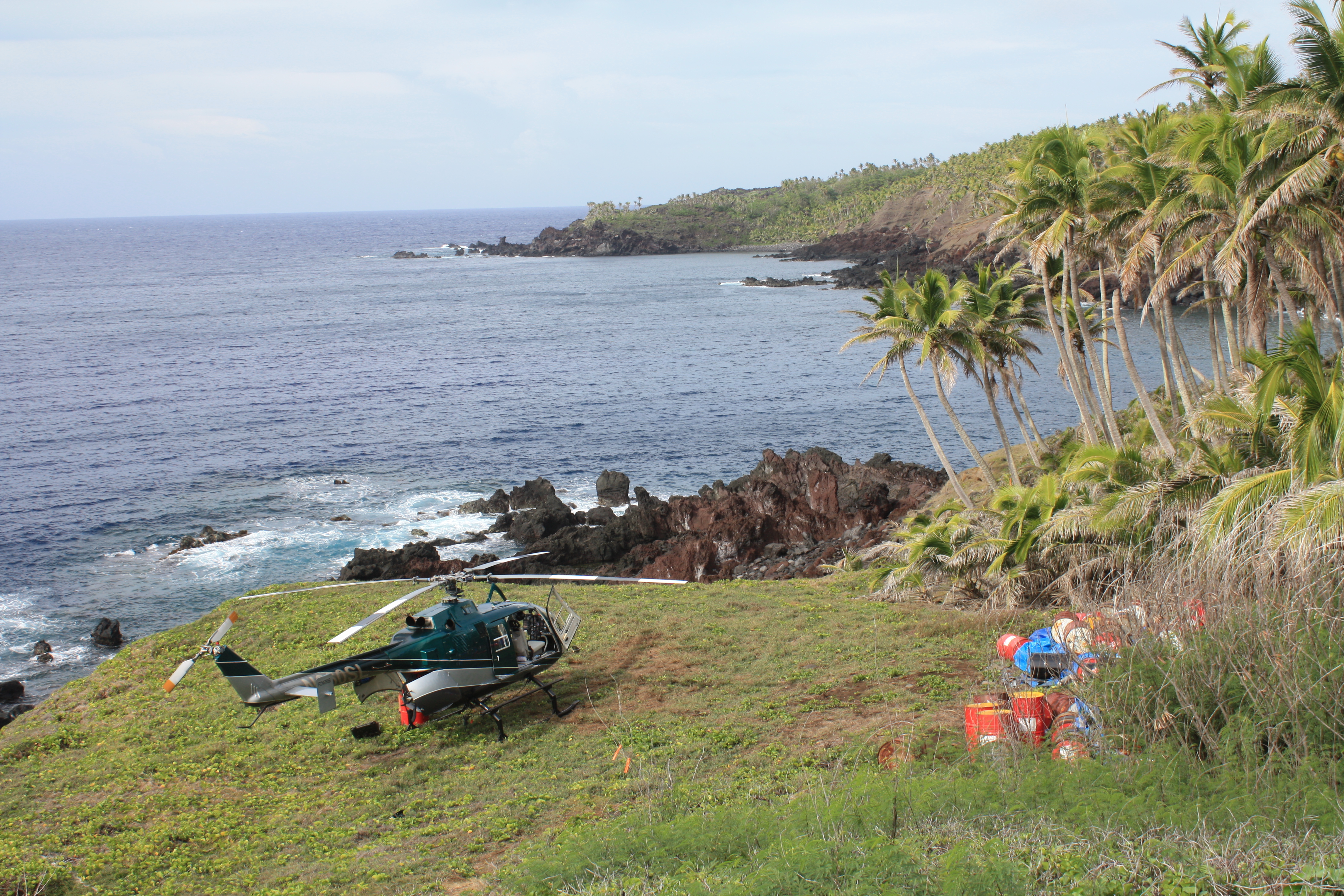
Sarigan is an uninhabited volcanic island in the Pacific Ocean. It is part of the Northern Mariana Islands, a U.S. territory. Sarigan is located northeast of Anatahan island, south of Guguan and north of Saipan, the largest island in the Northern Marianas. History Sarigan was originally settled by the Chamorros. The island was first charted by Europeans in late October 1543 by Spanish explorer Bernardo de la Torre on board of the carrack ''San Juan de Letrán'' when trying to return from Sarangani to New Spain. In 1695, the natives were forcibly removed to Saipan, and three years later to Guam. Following the sale of the Northern Marianas by Spain to the German Empire in 1899, Agrigan was administered as part of German New Guinea. The island was used as a penal colony from 1900-1906. The prisoners, who lived some with their families on Sarigan were mainly employed by the coconut plantations. In 1909, the island was leased by the Pagan Society, a German-Japanese partnership, whi ... [...More Info...] [...Related Items...] OR: [Wikipedia] [Google] [Baidu] |
Saffir–Simpson Scale
The Saffir–Simpson hurricane wind scale (SSHWS) classifies hurricanes—which in the Western Hemisphere are tropical cyclones that exceed the intensities of tropical depressions and tropical storms—into five categories distinguished by the intensities of their sustained winds. This measuring system was formerly known as the Saffir–Simpson hurricane scale, or SSHS. To be classified as a hurricane, a tropical cyclone must have one-minute-average maximum sustained winds at 10 m above the surface of at least 74 mph (64 kn, 119 km/h; Category 1). The highest classification in the scale, Category 5, consists of storms with sustained winds of at least 157 mph (137 kn, 252 km/h). The classifications can provide some indication of the potential damage and flooding a hurricane will cause upon landfall. The Saffir–Simpson hurricane wind scale is based on the highest wind speed averaged over a one-minute interval 10 m above th ... [...More Info...] [...Related Items...] OR: [Wikipedia] [Google] [Baidu] |
Category 1 Hurricane
Category, plural categories, may refer to: Philosophy and general uses *Categorization, categories in cognitive science, information science and generally *Category of being * ''Categories'' (Aristotle) *Category (Kant) *Categories (Peirce) *Category (Vaisheshika) *Stoic categories *Category mistake Mathematics * Category (mathematics), a structure consisting of objects and arrows * Category (topology), in the context of Baire spaces * Lusternik–Schnirelmann category, sometimes called ''LS-category'' or simply ''category'' * Categorical data, in statistics Linguistics * Lexical category, a part of speech such as ''noun'', ''preposition'', etc. *Syntactic category, a similar concept which can also include phrasal categories *Grammatical category, a grammatical feature such as ''tense'', ''gender'', etc. Other * Category (chess tournament) * Objective-C categories, a computer programming concept * Pregnancy category * Prisoner security categories in the United Kingdom * W ... [...More Info...] [...Related Items...] OR: [Wikipedia] [Google] [Baidu] |
Eye (cyclone)
The eye is a region of mostly calm weather at the center of tropical cyclones. The eye of a storm is a roughly circular area, typically in diameter. It is surrounded by the ''eyewall'', a ring of towering thunderstorms where the most severe weather and highest winds occur. The cyclone's lowest barometric pressure occurs in the eye and can be as much as 15 percent lower than the pressure outside the storm. In strong tropical cyclones, the eye is characterized by light winds and clear skies, surrounded on all sides by a towering, symmetric eyewall. In weaker tropical cyclones, the eye is less well defined and can be covered by the central dense overcast, an area of high, thick clouds that show up brightly on satellite imagery. Weaker or disorganized storms may also feature an eyewall that does not completely encircle the eye or have an eye that features heavy rain. In all storms, however, the eye is the location of the storm's minimum barometric pressure—where the atmospheric pr ... [...More Info...] [...Related Items...] OR: [Wikipedia] [Google] [Baidu] |
Outflow (meteorology)
Outflow, in meteorology, is air that flows outwards from a storm system. It is associated with ridging, or anticyclonic flow. In the low levels of the troposphere, outflow radiates from thunderstorms in the form of a wedge of rain-cooled air, which is visible as a thin rope-like cloud on weather satellite imagery or a fine line on weather radar imagery. For observers on the ground, a thunderstorm outflow boundary often approaches in otherwise clear skies as a low, thick cloud that brings with it a gust front. Low-level outflow boundaries can disrupt the center of small tropical cyclones. However, outflow aloft is essential for the strengthening of a tropical cyclone. If this outflow is restricted or undercut, the tropical cyclone weakens. If two tropical cyclones are in close proximity, the upper-level outflow from the upwind system can limit the development of the other system. Thunderstorms For thunderstorms, outflow tends to indicate the development of a system. Large quan ... [...More Info...] [...Related Items...] OR: [Wikipedia] [Google] [Baidu] |
Rainband
A rainband is a cloud and precipitation structure associated with an area of rainfall which is significantly elongated. Rainbands can be stratiform or convective, and are generated by differences in temperature. When noted on weather radar imagery, this precipitation elongation is referred to as banded structure. Rainbands within tropical cyclones are curved in orientation. Rainbands of tropical cyclones contain showers and thunderstorms that, together with the eyewall and the eye, constitute a hurricane or tropical storm. The extent of rainbands around a tropical cyclone can help determine the cyclone's intensity. Rainbands spawned near and ahead of cold fronts can be squall lines which are able to produce tornadoes. Rainbands associated with cold fronts can be warped by mountain barriers perpendicular to the front's orientation due to the formation of a low-level barrier jet. Bands of thunderstorms can form with sea breeze and land breeze boundaries, if enough moisture ... [...More Info...] [...Related Items...] OR: [Wikipedia] [Google] [Baidu] |
Ridge (meteorology)
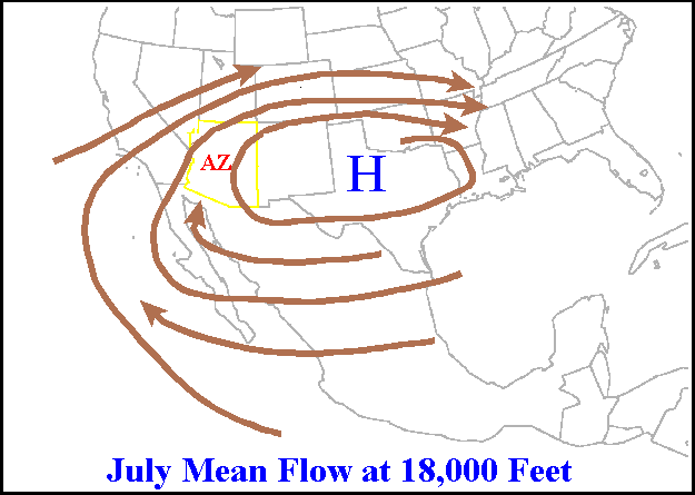
A ridge or barometric ridge is a term in meteorology describing an elongated area of relatively high atmospheric pressure compared to the surrounding environment, without being a closed circulation. It is associated with an area of maximum anticyclonic curvature of wind flow. The ridge originates in the center of an anticyclone and sandwiched between two low-pressure areas, and the locus of the maximum curvature is called the ''ridge line''. This phenomenon is the opposite of a trough. Description Ridges can be represented in two ways: * On surface weather maps, the pressure isobars form contours where the maximum pressure is found along the axis of the ridge. * In upper-air maps, geopotential height isohypses form similar contours where the maximum defines the ridge. Related weather Given the direction of the winds around an anticyclonic circulation and the fact that weather systems move from west to east: *ahead of an upper-ridge, the airflow that comes from the polar regi ... [...More Info...] [...Related Items...] OR: [Wikipedia] [Google] [Baidu] |


