|
Tukuyu
Tukuyu, known as Neu Langenburg during the German colonial rule, is a small hillside town that lies about south of the city of Mbeya, at an elevation of around in the highland Rungwe District of southern Tanzania, East Africa. Tukuyu town has a moderate to cool temperature ranging from 10° C in May/June to mid 20°C in around November. The town and surrounding areas are green all year round due to the almost year-round convectional rains resulting from Lake Nyasa(Lake Malawi).Tukuyu town is divided into several wards include; Kawetere, Msasani, Bulyaga and Bagamoyo. The local language is Nyakyusa together with the national language Swahili. Secondary and college education is done in the English language. The people are the Nyakyusa, although localised groups give themselves different local names, such as the Waandali from the surrounding Ileje mountains. There are also intermarriages with the Kinga, Wabena and Kisii tribes from the Livingstone mountain ranges. The Nyaky ... [...More Info...] [...Related Items...] OR: [Wikipedia] [Google] [Baidu] |
Mbeya
Mbeya is a city located in south west Tanzania, Africa. Mbeya's urban population is 620,000 according to the 2022 census. Mbeya is the capital of the surrounding rural Mbeya region (population, with Mbeya, totals approx. 2 million). Mbeya is situated at an altitude of 1,700 metres (5,500 ft), and sprawls through a narrow highland valley surrounded by a bowl of high mountains. The main language is colloquial Swahili, and the English language is extensively taught in schools. History Following the 1906 gold rush, Mbeya was founded as a gold mining town in the 1920s. The TAZARA railway later attracting farming migrants and small entrepreneurs to the area. Mbeya and its district were administered by the British until 1961. Mbeya Region was created in 1961. Mbeya City is now a growing metropolis and business centre for the southern regions and the neighbouring countries of Malawi, Zambia and Congo. The city is well connected with an all-weather road that forms part of the "Grea ... [...More Info...] [...Related Items...] OR: [Wikipedia] [Google] [Baidu] |
Mbeya Region
Mbeya Region (''Mkoa wa Mbeya'' in Swahili) is one of Tanzania's 31 administrative regions. The region covers an area of . The region is comparable in size to the combined land area of the nation state of Guinea Bissau. Mbeya Region is bordered to the east by Singida Region, Iringa Region and Njombe Region. The region is bordered to the south by Malawi and Lake Nyasa. To the north the region borders southern Tabora Region. Lastly, Mbeya is bordered to the west by Songwe Region. The regional capital is the city of Mbeya. According to the 2012 national census, the region had a population of 2,707,410. Geography Mbeya Region is located between latitudes 7 degrees and 9 degrees 31' south of the equator and between longitudes 32 degrees and 35 degrees east of Greenwich in Tanzania's Southern Highlands Zone. The Republic of Malawi shares borders with the Mbeya Region to the south, Songwe Region to the west, Singida and Tabora Regions to the north, and Iringa and Njombe Regions to the ... [...More Info...] [...Related Items...] OR: [Wikipedia] [Google] [Baidu] |
Tanzania
Tanzania (; ), officially the United Republic of Tanzania ( sw, Jamhuri ya Muungano wa Tanzania), is a country in East Africa within the African Great Lakes region. It borders Uganda to the north; Kenya to the northeast; Comoro Islands and the Indian Ocean to the east; Mozambique and Malawi to the south; Zambia to the southwest; and Rwanda, Burundi, and the Democratic Republic of the Congo to the west. Mount Kilimanjaro, Africa's highest mountain, is in northeastern Tanzania. According to the United Nations, Tanzania has a population of million, making it the most populous country located entirely south of the equator. Many important hominid fossils have been found in Tanzania, such as 6-million-year-old Pliocene hominid fossils. The genus Australopithecus ranged across Africa between 4 and 2 million years ago, and the oldest remains of the genus ''Homo'' are found near Lake Olduvai. Following the rise of '' Homo erectus'' 1.8 million years ago, humanity spread ... [...More Info...] [...Related Items...] OR: [Wikipedia] [Google] [Baidu] |
German East Africa
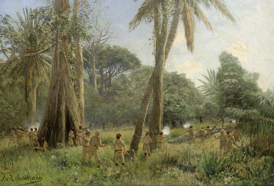
German East Africa (GEA; german: Deutsch-Ostafrika) was a German colony in the African Great Lakes region, which included present-day Burundi, Rwanda, the Tanzania mainland, and the Kionga Triangle, a small region later incorporated into Mozambique. GEA's area was , which was nearly three times the area of present-day Germany and double the area of metropolitan Germany at the time. The colony was organised when the German military was asked in the late 1880s to put down a revolt against the activities of the German East Africa Company. It ended with Imperial Germany's defeat in World War I. Ultimately GEA was divided between Britain, Belgium and Portugal and was reorganised as a mandate of the League of Nations. History Like other colonial powers the Germans expanded their empire in the Africa Great Lakes region, ostensibly to fight slavery and the slave trade. Unlike other imperial powers, however they never formally abolished either slavery or the slave trade and preferre ... [...More Info...] [...Related Items...] OR: [Wikipedia] [Google] [Baidu] |
Natural Bridge
A natural arch, natural bridge, or (less commonly) rock arch is a natural landform where an arch has formed with an opening underneath. Natural arches commonly form where inland cliffs, coastal cliffs, fins or stacks are subject to erosion from the sea, rivers or weathering ( subaerial processes). Most natural arches are formed from narrow fins and sea stacks composed of sandstone or limestone with steep, often vertical, cliff faces. The formations become narrower due to erosion over geologic time scales. The softer rock stratum erodes away creating rock shelters, or alcoves, on opposite sides of the formation beneath the relatively harder stratum, or caprock, above it. The alcoves erode further into the formation eventually meeting underneath the harder caprock layer, thus creating an arch. The erosional processes exploit weaknesses in the softer rock layers making cracks larger and removing material more quickly than the caprock; however, the caprock itself continues to erod ... [...More Info...] [...Related Items...] OR: [Wikipedia] [Google] [Baidu] |
East African Rift
The East African Rift (EAR) or East African Rift System (EARS) is an active continental rift zone in East Africa. The EAR began developing around the onset of the Miocene, 22–25 million years ago. In the past it was considered to be part of a larger Great Rift Valley that extended north to Asia Minor. A narrow zone, the rift is a developing divergent tectonic plate boundary where the African Plate is in the process of splitting into two tectonic plates, called the Somali Plate and the Nubian Plate, at a rate of 6-7 mm per year. The rift system consists of three microplates, the Victoria Microplate to the north, and the Rovuma and Lwandle microplates to the south. The Victoria Microplate is rotating anti-clockwise with respect to the African plate. Its rotation is caused by the configuration of mechanically weaker and stronger lithospheric regions in the EARS. Extent A series of distinct rift basins, the East African Rift System extends over thousands of kilometers. The ... [...More Info...] [...Related Items...] OR: [Wikipedia] [Google] [Baidu] |
Bamboo
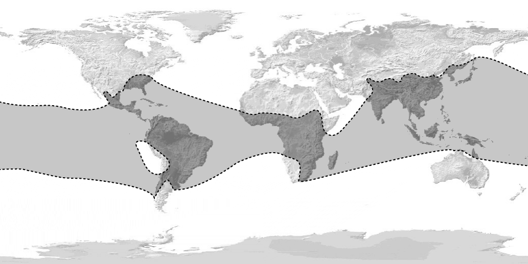
Bamboos are a diverse group of evergreen perennial flowering plants making up the subfamily Bambusoideae of the grass family Poaceae. Giant bamboos are the largest members of the grass family. The origin of the word "bamboo" is uncertain, but it probably comes from the Dutch or Portuguese language, which originally borrowed it from Malay or Kannada. In bamboo, as in other grasses, the internodal regions of the stem are usually hollow and the vascular bundles in the cross-section are scattered throughout the stem instead of in a cylindrical arrangement. The dicotyledonous woody xylem is also absent. The absence of secondary growth wood causes the stems of monocots, including the palms and large bamboos, to be columnar rather than tapering. Bamboos include some of the fastest-growing plants in the world, due to a unique rhizome-dependent system. Certain species of bamboo can grow within a 24-hour period, at a rate of almost an hour (equivalent to 1 mm every 90 seco ... [...More Info...] [...Related Items...] OR: [Wikipedia] [Google] [Baidu] |
Ethnic Groups In Europe
Europeans are the focus of European ethnology, the field of anthropology related to the various ethnic groups that reside in the List of sovereign states and dependent territories in Europe, states of Europe. Groups may be defined by common genetic ancestry, common language, or both. Pan and Pfeil (2004) count 87 distinct "''peoples of Europe''", of which 33 form the majority population in at least one sovereign state, while the remaining 54 constitute ethnic minority, ethnic minorities. The total number of national minority populations in Europe is estimated at 105 million people, or 14% of 770 million Europeans.Christoph Pan, Beate Sibylle Pfeil (2002), Minderheitenrechte in Europa. Handbuch der europäischen Volksgruppen', Braumüller, (Google Books, snippet view). Als2006 reprint by Springer(Amazon, no preview) . The Russians are the most populous among Europeans, with a population of roughly 120 million. There are no universally accepted and precise definitions of the term ... [...More Info...] [...Related Items...] OR: [Wikipedia] [Google] [Baidu] |
Mount Rungwe
Mount Rungwe is a volcanic mountain in Mbeya Region, in Tanzania's Southern Highlands. At an altitude of , it is southern Tanzania's second-highest peak. Rungwe's volcano is currently inactive. Geography Rungwe stands at the junction of the eastern and western arms of the East African Rift. It dominates the mountainous country at the north-west end of the trough that contains Lake Malawi. The Kipengere Range lies to the east, and the Poroto Mountains lie to the north. Kyejo volcano (or Kiejo) (2176 m) lies to the southeast.Global Volcanism Program, 2013. Kyejo (222170) in Volcanoes of the World, v. 4.8.2. Venzke, E (ed.). Smithsonian Institution. Downloaded 06 Sep 2019 (https://volcano.si.edu/volcano.cfm?vn=222170). https://doi.org/10.5479/si.GVP.VOTW4-2013 The Kyela Plain, which occupies the valley of the East African Rift, lies to the south, extending to Lake Malawi. The western slopes of the mountain are drained by the Kiwira River, which empties into Lake Malawi. Geology ... [...More Info...] [...Related Items...] OR: [Wikipedia] [Google] [Baidu] |
Volcano
A volcano is a rupture in the crust of a planetary-mass object, such as Earth, that allows hot lava, volcanic ash, and gases to escape from a magma chamber below the surface. On Earth, volcanoes are most often found where tectonic plates are diverging or converging, and most are found underwater. For example, a mid-ocean ridge, such as the Mid-Atlantic Ridge, has volcanoes caused by divergent tectonic plates whereas the Pacific Ring of Fire has volcanoes caused by convergent tectonic plates. Volcanoes can also form where there is stretching and thinning of the crust's plates, such as in the East African Rift and the Wells Gray-Clearwater volcanic field and Rio Grande rift in North America. Volcanism away from plate boundaries has been postulated to arise from upwelling diapirs from the core–mantle boundary, deep in the Earth. This results in hotspot volcanism, of which the Hawaiian hotspot is an example. Volcanoes are usually not created where two tectonic plates slide ... [...More Info...] [...Related Items...] OR: [Wikipedia] [Google] [Baidu] |
.jpg)


