|
Trefeurig
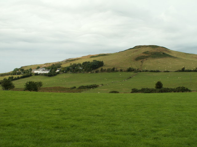
Trefeurig is a community in Mid and West Wales, situated around north-east of Aberystwyth. It is a site of particular prehistoric, Roman, and Iron Age interest, and has a long history as a mining area. In 2011 the local population was estimated at around 1,771 people. Boundaries The community boundary encompasses the areas of Penrhyn-coch, Salem, Pen-bont Rhydybeddau, Cwmsymlog, Cwmerfyn, Banc-y-darren, Cefn-llwyd, and Capel Madog. The community's lowest point lies in the west, and is less than 20m above sea level. This is the point where the Peithyll and Clarach streams meet at Pont Rhyd-hir, and the railway bridge on the A487. The boundary runs along the Nant Clarach for a short distance before climbing through Gogerddan forest, then along the middle below Broncastellan Fort, until reaching the road from Bow Street to Pont-goch. The boundary continues along Bow Street until turning at Elgar's Farm and travelling along the stream past the old Elgar and Mynyddgorddu mines, an ... [...More Info...] [...Related Items...] OR: [Wikipedia] [Google] [Baidu] |
Cwmerfyn
Cwmerfyn (historically Cwm-erfin or Cwmerfin) is a hamlet in the community of Trefeurig, Ceredigion, Wales, by road east of Aberystwyth. Historically Cwmerfyn was a lead ore mining village. Geography The Nant Silo stream runs in the vicinity. To the northeast are the small lakes Llyn Rhosgoch, Llyn Blaenmelindwr and Llyn Pendam, to the east of Cwmsymlog. Politics Cwmerfyn is represented in the Senedd by Elin Jones (Plaid Cymru) and is part of the Ceredigion constituency in the House of Commons. Landmarks Siloa Chapel in Cwmefyn was built in 1866, as part of a series of churches founded by Azariah Shadrach in north Ceredigion in the Congregational Church of Salem Coedgruffydd. It was known locally as Capel Ucha (the Higher Chapel) to distinguish it from the Bethlehem Presbyterian chapel further down the village, known as Capel Isa (the Lower Chapel). The first minister of the church was Reverend W. Jansen Davies. The chapel is described by Coflein as having a "simple round-he ... [...More Info...] [...Related Items...] OR: [Wikipedia] [Google] [Baidu] |
Pen-bont-rhyd-y-beddau
Pen-bont-rhyd-y-beddau is a small village in the community of Trefeurig, Ceredigion, Wales, which is 73.7 miles (118.6 km) from Cardiff and 174.8 miles (281.3 km) from London. Pen-bont Rhydybeddau is represented in the Senedd by Elin Jones and the Member of Parliament is Ben Lake both representing Plaid Cymru. References See also *List of localities in Wales by population The following is a list of built-up areas in Wales by population according to the 2011 Census. See also *List of cities in Wales *List of towns in Wales References {{Wales topics Loc Towns A town is a human settlement. Towns are gene ... Villages in Ceredigion {{Ceredigion-geo-stub ... [...More Info...] [...Related Items...] OR: [Wikipedia] [Google] [Baidu] |
Pen-Rhiw-Newydd
Penrhiwnewydd is a hamlet in the community of Trefeurig, Ceredigion, Wales, which is 74.1 miles (119.2 km) from Cardiff and 175.3 miles (282 km) from London. Penrhiwnewydd is represented in the Senedd by Elin Jones (Plaid Cymru) and is part of the Ceredigion constituency in the House of Commons. recalled 24 February 2014 References See also *List of localities in Wales by population
The following is a list of built-up areas in Wales by population according to the 2011 Census.
See also
*List of cities in Wales
*List of towns in Wales
Refer ...
[...More Info...] [...Related Items...] OR: [Wikipedia] [Google] [Baidu] |
Banc-y-Darren
Daren is a hamlet bach in the community of Trefeurig, Ceredigion, Wales, which is 73.2 miles (117.7 km) from Cardiff and 174.5 miles (280.8 km) from London. It is represented in the Senedd by Elin Jones (Plaid Cymru) and is part of the Ceredigion constituency in the House of Commons. Daren Camp, a hillfort, lies nearby. accessed 31 March 2014 Daren Bank  Banc-y-Darren is a small hamlet near the town
|
Cefn-y-Llwyd
Cefn-y-Llwyd is a hamlet in the community of Trefeurig, Ceredigion, Wales, which is 74 miles (119.1 km) from Cardiff and 176 miles (283.3 km) from London. Cefn Llwyd is represented in the Senedd by Elin Jones (Plaid Cymru) and is part of the Ceredigion constituency in the House of Commons. recalled 24 February 2014 References See also *List of localities in Wales by population
The following is a list of built-up areas in Wales by population according to the 2011 Census.
See also
*List of cities in Wales
*List of towns in Wales
References ...
[...More Info...] [...Related Items...] OR: [Wikipedia] [Google] [Baidu] |
Gogerddan
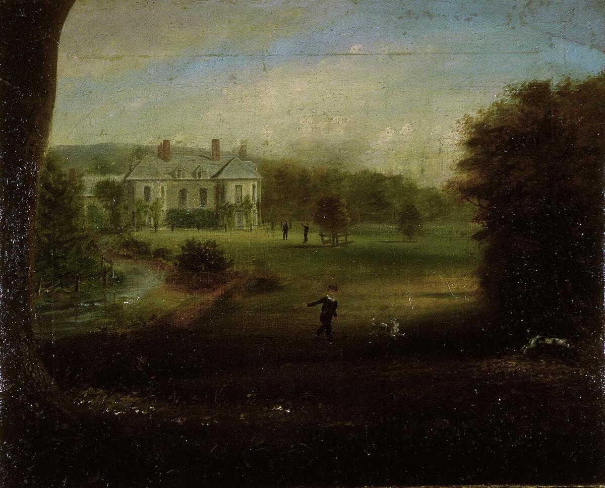
__NOTOC__ Gogerddan, or in English, Gogarthen, was an estate near to Trefeurig and the most important in what was then the county of Cardiganshire, Wales. Owned since at least the fifteenth century by the Pryse family, the main house, called Plas Gogerddan, still stands and is a Grade II listed building. The estate became especially wealthy from the seventeenth century on the profits from lead mining, which is when the house was constructed. The house was significantly altered in the 1860s and was sold by Sir Pryse Loveden Saunders-Pryse to University College of Wales in 1949. Gogerddan provisionally held the high temperature record for Wales – 35.3°C, which was recorded on 18 July 2022. It replaced the previous record holder Hawarden which held the record for almost 32 years. This record was short-lived, however, as by the end of the same day, Hawarden recorded a temperature of 37.1°C. See also * Pryse baronets There have been two baronetcies created for members of th ... [...More Info...] [...Related Items...] OR: [Wikipedia] [Google] [Baidu] |
Penrhyncoch F
Penrhyn-coch is a small Wales, Welsh village, in the community of Trefeurig, Ceredigion, located between the Afon Stewi and Nant Seilo rivers, close to where they merge into the Afon Clarach. The village is approximately north-east of Aberystwyth. The village has expanded since the 1970s with several housing estates being built. There are around 480 houses and an estimated population of 1,037 (2005). Most of the working population is employed in Aberystwyth or at the nearby Aberystwyth University, Institute of Biological and Environmental Research. Facilities Penrhyn-coch has a range of facilities including a school, post office, petrol station, social club, tennis courts, children's playground, two places of worship John the Divine, St. John's parish church and Horeb Nonconformist (Protestantism), Nonconformist chapel, three halls and a nursery. Just outside the village is a Natural Resources Wales (formerly Forestry Commission) site named Gogerddan Allt Ddel, with hillwalkin ... [...More Info...] [...Related Items...] OR: [Wikipedia] [Google] [Baidu] |
Penrhyn-coch
Penrhyn-coch is a small Welsh village, in the community of Trefeurig, Ceredigion, located between the Afon Stewi and Nant Seilo rivers, close to where they merge into the Afon Clarach. The village is approximately north-east of Aberystwyth. The village has expanded since the 1970s with several housing estates being built. There are around 480 houses and an estimated population of 1,037 (2005). Most of the working population is employed in Aberystwyth or at the nearby Aberystwyth University, Institute of Biological and Environmental Research. Facilities Penrhyn-coch has a range of facilities including a school, post office, petrol station, social club, tennis courts, children's playground, two places of worship St. John's parish church and Horeb Nonconformist chapel, three halls and a nursery. Just outside the village is a Natural Resources Wales (formerly Forestry Commission) site named Gogerddan Allt Ddel, with hillwalking and picnic facilities. Penrhyncoch F.C. of the Cy ... [...More Info...] [...Related Items...] OR: [Wikipedia] [Google] [Baidu] |
Ceredigion
Ceredigion ( , , ) is a county in the west of Wales, corresponding to the historic county of Cardiganshire. During the second half of the first millennium Ceredigion was a minor kingdom. It has been administered as a county since 1282. Ceredigion is considered a centre of Welsh culture and just under half of the population can speak Welsh according to the 2011 Census. The county is mainly rural, with over of coastline and a mountainous hinterland. The numerous sandy beaches and the long-distance Ceredigion Coast Path provide views of Cardigan Bay. In the 18th and early 19th centuries, Cardiganshire had more industry than it does today; Cardigan was the commercial centre of the county; lead, silver and zinc were mined and Cardigan was the principal port of South Wales prior to the silting of its harbour. The economy became highly dependent on dairy farming and the rearing of livestock for the English market. During the 20th century, livestock farming became less profitable ... [...More Info...] [...Related Items...] OR: [Wikipedia] [Google] [Baidu] |
Church In Wales
The Church in Wales ( cy, Yr Eglwys yng Nghymru) is an Anglicanism, Anglican church in Wales, composed of six dioceses. The Archbishop of Wales does not have a fixed archiepiscopal see, but serves concurrently as one of the six diocesan bishops. The position is currently held by Andy John, Bishop of Bangor, since 2021. Unlike the Church of England, the Church in Wales is not an established church. Disestablishmentarianism, Disestablishment took place in 1920 under the Welsh Church Act 1914. As a province of the Anglican Communion, the Church in Wales recognises the Archbishop of Canterbury as a focus of unity but without any formal authority. A cleric of the Church in Wales can be appointed to posts in the Church of England, including the See of Canterbury; a former Archbishop of Canterbury, Rowan Williams, was from Wales and served as Archbishop of Wales before his appointment to Canterbury. Official name The Church in Wales ( cy, Yr Eglwys yng Nghymru) adopted its name by a ... [...More Info...] [...Related Items...] OR: [Wikipedia] [Google] [Baidu] |
Baptist Union Of Wales
The Baptist Union of Wales (Undeb Bedyddwyr Cymru) is a fellowship of Baptist churches in Wales. History The General Baptist minister Hugh Evans was one of the first Baptists to preach in Wales around 1646, in the parishes of Llan-hir, Cefnllys, Nantmel, and Llanddewi Ystradenny, as well as in districts across the upper Wye Valley in Breconshire. In 1649 John Myles (1621–1683) and Thomas Proud led in the formation of a congregation at Ilston, before Myles emigrated to Swansea, Massachusetts, in 1663. Myles and Proud were connected to the Particular Baptists in London. In 1650 three Baptist congregations held the first general meeting of Baptists in Wales. The national union was organized in 1866. One of the most notable Welsh Baptist ministers was Christmas Evans (1766–1838). Membership The Baptist Union of Wales is a member of the Free Church Council, Cytûn (Churches Together in Wales), the European Baptist Federation, and the Baptist World Alliance. The Union has its hea ... [...More Info...] [...Related Items...] OR: [Wikipedia] [Google] [Baidu] |
Mwyngloddfa Llechweddhelyg
This is a list of the Sites of Special Scientific Interest (SSSIs) in the Ceredigion Area of Search (AOS). History SSSIs in the UK are notified using the concept of an Area of Search, an area of between and in size. The Areas of Search were conceived and developed between 1975 and 1979 by the Nature Conservancy Council (NCC), based on regions created by the Local Government Act 1972.Joint Nature Conservation Committee (1998 revision); ''Guidelines for the Selection of Biological SSSIs'', section 4.5, pp. 14–15. . Whereas England had its Areas of Search based on 46 counties, those in Wales were based on a combination of the counties and smaller districts. In 1974, Wales was divided into 8 counties, with 37 districts. The NCC created 12 Welsh Areas of Search; they mostly follow county borders, but the larger counties (Dyfed, Powys and Gwynedd) were divided into multiple Areas using district borders. Mid and South Glamorgan were merged into a single AOS, whilst Llanelli distr ... [...More Info...] [...Related Items...] OR: [Wikipedia] [Google] [Baidu] |


