|
Town Boundary Marker
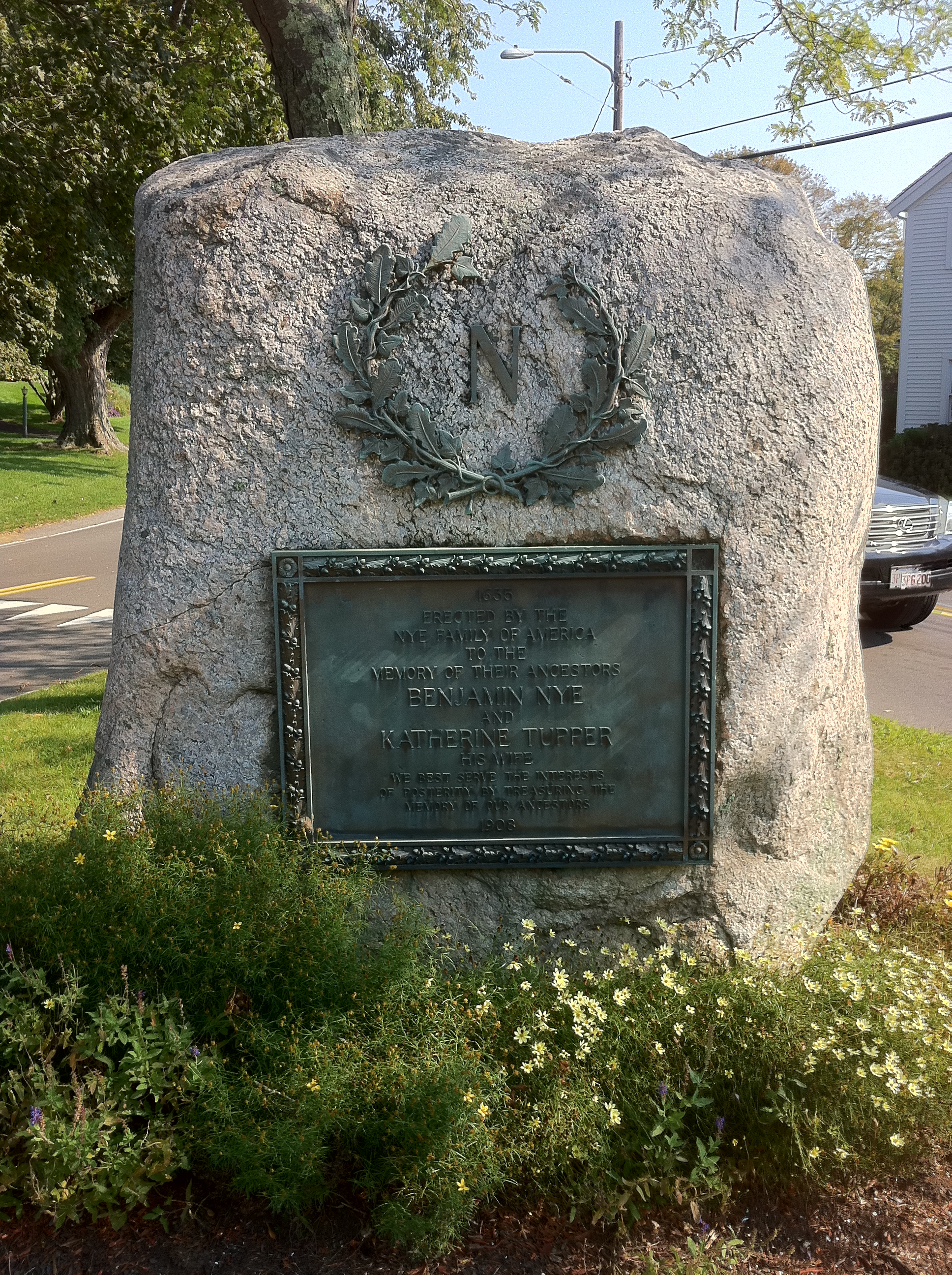
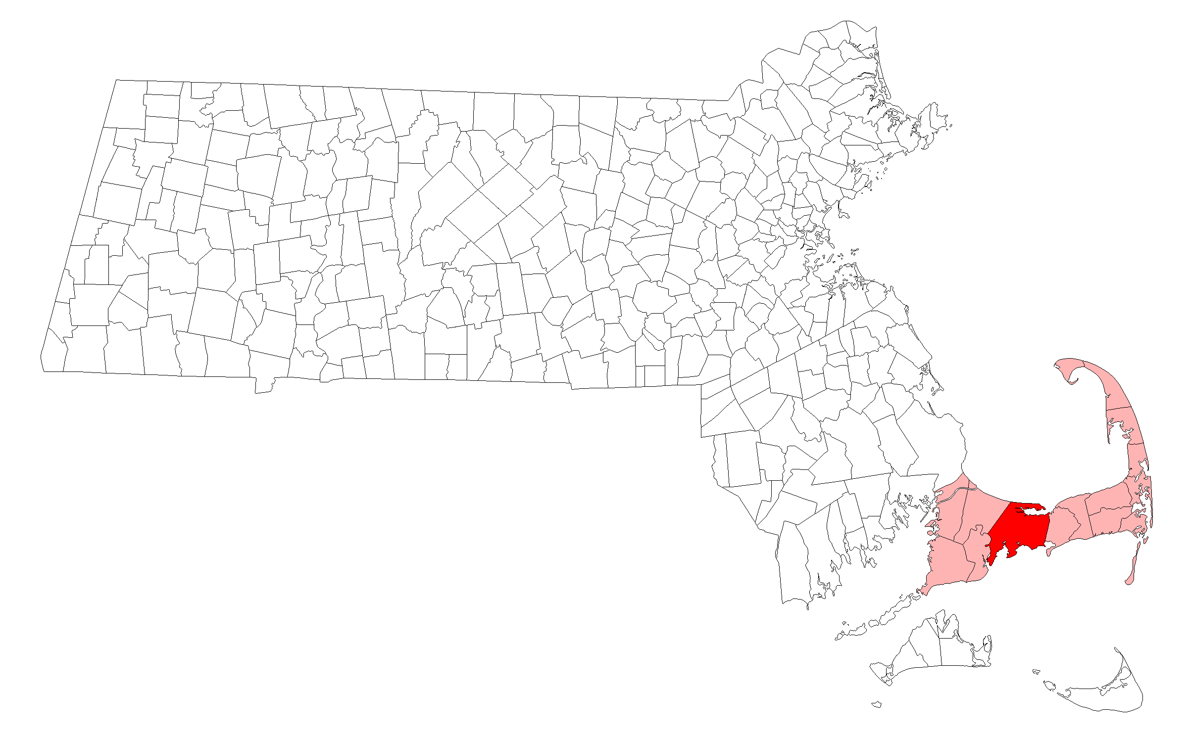
The town of Barnstable, Massachusetts has four surviving stone markers that were used in colonial days to mark the town's boundaries with its neighbors. All four are listed on the National Register of Historic Places, three of them individually, and one as part of the Old King's Highway Historic District. Barnstable was established in 1639. Race Lane marker On the south side of Race Lane, just west of Trotter's Lane, at , is a granite marker on the town line between Barnstable and Sandwich. The town line between these two towns was first laid out by the council of the Plymouth Colony in 1639, and has remained relatively stable since then. It is unknown when this rough granite marker was placed; on the street face it is marked with a B on the Barnstable side, and an S on the Sandwich side, with a carved vertical line between. This marker was listed on the National Register of Historic Places in 1987 as "Town Boundary Marker". High Street marker The High Street marker is l ... [...More Info...] [...Related Items...] OR: [Wikipedia] [Google] [Baidu] |
Sandwich, Massachusetts
Sandwich is a town in Barnstable County, Massachusetts, and is the oldest town on Cape Cod. The town motto is ''Post tot Naufracia Portus'', "after so many shipwrecks, a haven". The population was 20,259 at the 2020 census. History Cape Cod was inhabited for thousands of years by Native Americans prior to European colonization. In the contact period, Sandwich was occupied by the Eastern Algonquian speaking Wampanoag who aided the Pilgrims of Plymouth Colony in the 1620s. Despite significant losses of life and cultural heritage due to virgin soil epidemics, King Philip's War, and conversion and assimilation efforts that pushed them into Praying Towns, the Mashpee Wompanoag still live on Cape Cod and efforts are underway to revive the Wompanoag language. A group of English settlers from Saugus, Massachusetts, colonized Sandwich in 1637 with the permission of the Plymouth Colony. It is named for the seaport of Sandwich, Kent, England. It was incorporated in 1639 and is the old ... [...More Info...] [...Related Items...] OR: [Wikipedia] [Google] [Baidu] |
Barnstable, Massachusetts
The Town of Barnstable ( ) is a town in the U.S. state of Massachusetts and the county seat of Barnstable County. Barnstable is the largest community, both in land area and population, on Cape Cod, and is one of thirteen Massachusetts municipalities that have been granted city forms of government by the Commonwealth of Massachusetts but wish to retain "the town of" in their official names. At the 2020 census it had a population of 48,916. The town contains several villages (one of which is also named Barnstable) within its boundaries. Its largest village, Hyannis, is the central business district of the county and home to Barnstable Municipal Airport, the airline hub of Cape Cod and the islands of Martha's Vineyard and Nantucket. Additionally, Barnstable is a 2007 winner of the All-America City Award. History Barnstable takes its name from the English town of Barnstaple, in the county of Devon. The first European to explore the area was Bartholomew Gosnold in 1602. It was s ... [...More Info...] [...Related Items...] OR: [Wikipedia] [Google] [Baidu] |
National Register Of Historic Places
The National Register of Historic Places (NRHP) is the United States federal government's official list of districts, sites, buildings, structures and objects deemed worthy of preservation for their historical significance or "great artistic value". A property listed in the National Register, or located within a National Register Historic District, may qualify for tax incentives derived from the total value of expenses incurred in preserving the property. The passage of the National Historic Preservation Act (NHPA) in 1966 established the National Register and the process for adding properties to it. Of the more than one and a half million properties on the National Register, 95,000 are listed individually. The remainder are contributing resources within historic districts. For most of its history, the National Register has been administered by the National Park Service (NPS), an agency within the U.S. Department of the Interior. Its goals are to help property owners and inte ... [...More Info...] [...Related Items...] OR: [Wikipedia] [Google] [Baidu] |
Old King's Highway Historic District
The Old King's Highway Historic District encompasses what was historically the principal east–west thoroughfare through Barnstable, Massachusetts. It encompasses Barnstable's entire length of what is now designated Massachusetts Route 6A and called Main Street, between the town lines of Sandwich and Yarmouth. It includes more than , and includes all of the buildings whose properties front on the road, nearly 500 in all. The area includes the main population centers of Barnstable from its founding in the late 1630s until the mid-19th century, when the southern parts of the community became more significant in economic prominence. The district was listed on the National Register of Historic Places in 1987. The oldest buildings in the district are the Allyn House (2730 Main Street), built in the late 1600s, and the Old Jail, built c. 1690. The Old Jail is the oldest wooden jail in the United States, and is now part of a museum complex including the Old Customshouse. Both ... [...More Info...] [...Related Items...] OR: [Wikipedia] [Google] [Baidu] |
Plymouth Colony
Plymouth Colony (sometimes Plimouth) was, from 1620 to 1691, the British America, first permanent English colony in New England and the second permanent English colony in North America, after the Jamestown Colony. It was first settled by the passengers on the ''Mayflower'', at a location that had previously been surveyed and named by Captain John Smith (explorer), John Smith. The settlement served as the capital of the colony and developed as the town of Plymouth, Massachusetts. At its height, Plymouth Colony occupied most of the southeastern portion of Massachusetts. Many of the people and events surrounding Plymouth Colony have become part of Folklore of the United States, American folklore, including the American tradition of Thanksgiving and the monument of Plymouth Rock. Plymouth Colony was founded by a group of Puritans#Puritans and Separatists, Puritan Separatists initially known as the Brownist Emigration, who came to be known as the Pilgrims (Plymouth Colony), Pilgrims. ... [...More Info...] [...Related Items...] OR: [Wikipedia] [Google] [Baidu] |
Massachusetts Route 6A
Massachusetts Route 6A is the state road for two sections formerly known as U.S. Route 6 (US 6) on Cape Cod. Most of Route 6A is also known as the Old King's Highway. Combining the 2 major sections (and a "silent" concurrency with US 6 through Eastham, Wellfleet, and South Truro), the highway is approximately long. Route description Although some maps have Route 6A starting at the Bourne Bridge Rotary along Sandwich Road, it actually starts some feet east of the Sagamore Bridge, according to state signage. From there, it goes thus: * Bourne: Sandwich Road * Sandwich: Route 6A * Barnstable: Main Street * Yarmouth: Main Street * Dennis: Kings Highway * Brewster: Main Street * Orleans: Cranberry Highway * Truro: Shore Road * Provincetown: Commercial Street (1 mile), Bradford Street (2.5 miles), Province Lands Road (1 mile) Since 1982, Route 6A has ended at an intersection (signalized until 2010) with US 6 at Herring Cove, pa ... [...More Info...] [...Related Items...] OR: [Wikipedia] [Google] [Baidu] |
Yarmouth, Massachusetts
Yarmouth ( ) is a town in Barnstable County, Massachusetts, United States, Barnstable County being coextensive with Cape Cod. The population was 23,793 at the 2010 census. The town is made up of three major villages: South Yarmouth, West Yarmouth, and Yarmouth Port. History Wampanoag origins Prior to European settlement, Yarmouth was inhabited by the Wampanoag, an Algonquian people. In the Wôpanâak language the area was called "Mattacheese". Wampanoag tribes living in Yarmouth at the time of European settlement included the Pawkunnawkuts on both sides of the lower Bass River, the Hokanums in what is now northeastern Yarmouth, and the Cummaquids in what is now western Yarmouth. Plymouth Colony settlement Yarmouth was organized and incorporated as part of the Plymouth Colony on September 3, 1639, following a settlement led by John Crowe (later Crowell), Thomas Howes and Anthony Thacher, and is, together with Sandwich, the oldest town on Cape Cod. Yarmouth originally incl ... [...More Info...] [...Related Items...] OR: [Wikipedia] [Google] [Baidu] |
National Register Of Historic Places Listings In Barnstable County, Massachusetts
__NOTOC__ This is a list of the National Register of Historic Places listings in Barnstable County, Massachusetts. This is intended to be a complete list of the properties and districts on the National Register of Historic Places in Barnstable County, Massachusetts, United States. Latitude and longitude coordinates are provided for many National Register properties and districts; these locations may be seen together in a map. There are 205 properties and districts listed on the National Register in the county, including 3 National Historic Landmarks. Those in the town of Barnstable may be found at National Register of Historic Places listings in Barnstable, Massachusetts. Four listings appear in more than one of these lists because the boundaries cross geographic borders. Current listings Barnstable Remainder of county See also * List of Nation ... [...More Info...] [...Related Items...] OR: [Wikipedia] [Google] [Baidu] |
Initial Points
In a written or published work, an initial capital, also referred to as a drop capital or simply an initial cap, initial, initcapital, initcap or init or a drop cap or drop, is a letter at the beginning of a word, a chapter, or a paragraph that is larger than the rest of the text. The word is derived from the Latin ''initialis'', which means ''standing at the beginning''. An initial is often several lines in height and in older books or manuscripts are known as "inhabited" initials. Certain important initials, such as the Beatus initial or "B" of ''Beatus vir...'' at the opening of Psalm 1 at the start of a vulgate Latin. These specific initials in an illuminated manuscript were also called initiums. In the present, the word "initial" commonly refers to the first letter of any word or name, the latter normally capitalized in English usage and is generally that of a first given name or a middle one or ones. History The classical tradition was slow to use capital letters for ... [...More Info...] [...Related Items...] OR: [Wikipedia] [Google] [Baidu] |
National Register Of Historic Places In Barnstable, Massachusetts ...
Barnstable, Massachusetts, has more than 75 entries on the National Register of Historic Places. For listings elsewhere in Barnstable County, see National Register of Historic Places listings in Barnstable County, Massachusetts. Current listings Former listings See also *National Register of Historic Places listings in Barnstable County, Massachusetts *List of National Historic Landmarks in Massachusetts References {{DEFAULTSORT:National Register Of Historic Places Listings In Barnstable, Massachusetts Barnstable Barnstable, Massachusetts The Town of Barnstable ( ) is a town in the U.S. state of Massachusetts and the county seat of Barnstable County. Barnstable is the largest community, both in land area and population, on Cape Cod, and is one of thirteen Massachusetts municipaliti ... [...More Info...] [...Related Items...] OR: [Wikipedia] [Google] [Baidu] |
Geography Of Barnstable County, Massachusetts
Geography (from Greek: , ''geographia''. Combination of Greek words ‘Geo’ (The Earth) and ‘Graphien’ (to describe), literally "earth description") is a field of science devoted to the study of the lands, features, inhabitants, and phenomena of Earth. The first recorded use of the word γεωγραφία was as a title of a book by Greek scholar Eratosthenes (276–194 BC). Geography is an all-encompassing discipline that seeks an understanding of Earth and its human and natural complexities—not merely where objects are, but also how they have changed and come to be. While geography is specific to Earth, many concepts can be applied more broadly to other celestial bodies in the field of planetary science. One such concept, the first law of geography, proposed by Waldo Tobler, is "everything is related to everything else, but near things are more related than distant things." Geography has been called "the world discipline" and "the bridge between the human and th ... [...More Info...] [...Related Items...] OR: [Wikipedia] [Google] [Baidu] |
Buildings And Structures Completed In 1639
A building, or edifice, is an enclosed structure with a roof and walls standing more or less permanently in one place, such as a house or factory (although there's also portable buildings). Buildings come in a variety of sizes, shapes, and functions, and have been adapted throughout history for a wide number of factors, from building materials available, to weather conditions, land prices, ground conditions, specific uses, monument, prestige, and aesthetic reasons. To better understand the term ''building'' compare the list of nonbuilding structures. Buildings serve several societal needs – primarily as shelter from weather, security, living space, privacy, to store belongings, and to comfortably live and work. A building as a shelter represents a physical division of the :Human habitats, human habitat (a place of comfort and safety) and the ''outside'' (a place that at times may be harsh and harmful). Ever since the first cave paintings, buildings have also become objects or ... [...More Info...] [...Related Items...] OR: [Wikipedia] [Google] [Baidu] |


