|
Thondayad Junction
Thondayad Junction is an important intersection of Kozhikode city, India. This junction connects the city to the eastern town of Kozhikode District so the traffic is heavy. The junction also connects to the northern and southern cities of Kerala by express roads. History 100 years ago the beach area were the centre of Kozhikode city. In the 1970s the downtown shifted to Mananchira area and again, in the 1980s, Mavoor Road became the centre of attraction. In 2010s, Thondayad Bypass area and Palazhi on the Airport road has emerged as the new city centre with a vibrant night life for foodies. Mavoor Road The road to the west takes you to Arayidathupalam, City Bus Stations and Mananchira pond. Medical College Road The road to the east goes to Chevayur, Kovoor, Medical College, Karanthur, Kunnamangalam and Mavoor village. Kannur Road The road to the north goes to Koyilandy, Vatakara, Thalassery and Kannur. Airport Road The road to the south goes to Pantheerankavu, Ramanattu ... [...More Info...] [...Related Items...] OR: [Wikipedia] [Google] [Baidu] |
Arayidathupalam Junction
Arayidathupalam Junction is the busiest road intersection of Kozhikode city in India. Mavoor Road The western part of Mavoor Road is specifically referred to by that name. The New Bus Station and the KSRTC Bus Station are located in this road. The road has one of the busiest commercial parts of the city. The road ends in Mananchira Square. Medical College Road The eastern road is called ''Medical College Road'' but it goes all the way to Mavoor village. Calicut Medical College is located in this road. City suburbs like Kovoor Town, Chevayur, Kottooli and Pottammal are also located in this road. Kannur Road The northern road goes all the way to Kannur and Mangalore. Meenchantha Bypass The southern road crosses the ''Kalluthan Kadavu bridge'' and goes all the way to Malappuram and other southern cities of Kerala. Major Organizations in Arayidathupalam * Baby Memorial Hospital * Vasan Eye Care Hospital * Alsalama Eye care Hospital * Commonwealth Trust Eye care Hospital ... [...More Info...] [...Related Items...] OR: [Wikipedia] [Google] [Baidu] |
Calicut International Airport
Calicut International Airport , also known as Kozhikode Airport or Karipur Airport, is an international airport located in Karipur, Malappuram district of Kerala, India. It serves the Malabar region of Kozhikode, Malappuram, Wayanad and Palakkad. It is situated 28 kilometers away from Kozhikode city and 25 kilometers away from Malappuram city. It serves two of the seven metropolitan areas in the state - Kozhikode metropolitan area and Malappuram metropolitan area. The airport opened on 13 April 1988. The airport serves as an operating base for Air India Express and operates Hajj Pilgrimage services to Medina and Jeddah from Kerala. It is the twenty first–busiest airport in India in terms of overall passenger traffic and also the sixth-busiest airport in India after Delhi, Mumbai, Kochi, Chennai and Hyderabad in terms of international traffic. It received international airport status on 2 February 2006. It is one of a few airports in the country with a tabletop runwa ... [...More Info...] [...Related Items...] OR: [Wikipedia] [Google] [Baidu] |
Ramanattukara
Ramanattukara is a municipality census town in Kozhikode district in the Indian state of Kerala. This town was formerly called Kadungan Chira village. Ramanattukara is located 14 km away from Kozhikode city. Developing as a suburb of Kozhikode city, Ramanattukara is a part of the master plan for Kozhikode urban area. History Ramanattukara, on the southern bank of Chaliyar river, was adjacent to the kingdom of Parappanad during medieval period. Parappanad royal family is a cousin dynasty of the Travancore royal family. The rulers of Parappanad were vassals to the Zamorin of Calicut. The headquarters of Parappanad Royal family was the coastal town of Parappanangadi in present-day Malappuram district. In 15th century CE, ''Parappanad Swaroopam'' was divided into two - Northern Parappanad (''Beypore Swaroopam'') and Southern Parappanad (''Parappur Swaroopam''). Beypore, Cheruvannur, and Panniyankara, on northern bank of Chaliyar, became Northern Parappanad. Kadalundi, ... [...More Info...] [...Related Items...] OR: [Wikipedia] [Google] [Baidu] |
Kannur
Kannur (), formerly known in English as Cannanore, is a Cities in India, city and a municipal corporation in the state of Kerala, India. It is the administrative headquarters of the Kannur district and situated north of the major port city and commercial hub Kochi and south of the major port city and a commercial hub, Mangalore. During the period of British Raj, British colonial rule in India, when Kannur was a part of the Malabar District (Madras Presidency), the city was known as Cannanore. Kannur is the sixth largest urban agglomeration in Kerala. As of 2011 census, Kannur Municipal Corporation, the local body which administers mainland area of city, had a population of 232,486. Kannur was the headquarters of Kolathunadu, one of the four most important dynasties on the Malabar Coast, along with the Zamorin of Calicut, Kingdom of Cochin and Venad, Kingdom of Quilon. The Arakkal kingdom had right over the city of Kannur and Laccadive Islands in the late medieval period. Kan ... [...More Info...] [...Related Items...] OR: [Wikipedia] [Google] [Baidu] |
Mavoor
Mavoor is a town situated in Kozhikode district in Kerala, India. It is 19 km away from Kozhikode city. Etymology The former name of Mavur was Pulpparambu, or "hayfields" in Malayalam, as grass for thatching houses was stored in this town. (In Malayalam, ''pul'' means "grass/hay", and ''parampu'' means "field".) Geography Mavoor is 21 km east of Kozhikode city, beside the river Chaliyar. Grasim factory Until the 1960s, Mavoor was like any other village in Kerala. During the 1963s the industrial house of Birla established a factory named "' Gwalior Rayons'" (later renamed as Grasim) at Mavoor for producing pulp and fibre on 316 acres of land. An integrated township with schools, a hospital, and a police station also came up. The arrival of Gwalior Rayons caused a rapid change in the area. In 1985 Grasim shut down for three years. The disruption caused to the local economy was significant. 11 suicides in Mavoor were attributed to this. In 1988, the Gove ... [...More Info...] [...Related Items...] OR: [Wikipedia] [Google] [Baidu] |
Kunnamangalam
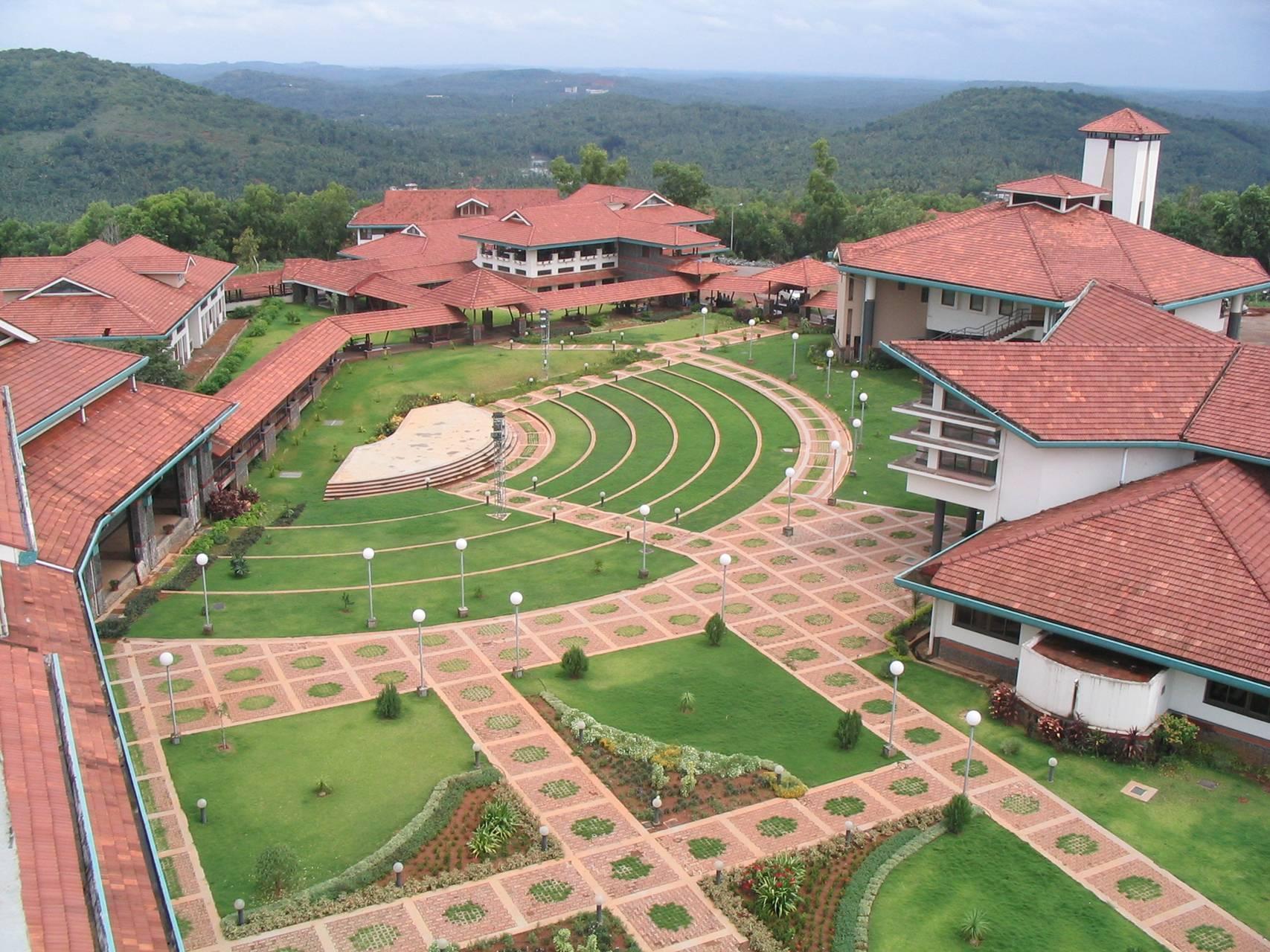
Kunnamangalam is a growing census town located about 14 km east of Kozhikode (Calicut) city on the Calicut - Bangalore National Highway (NH 766 , Kozhikode - Kollegal). Nearby places are Koduvally, Mukkam, Chathamangalam, and Kattangal. India's premier educational institutions like Indian Institute of Management, Kozhikode (IIMK), National Institute of Technology Calicut, National Institute of Electronics & Information Technology, Indian Institute of Spices Research, and Kerala School of Mathematics, Kozhikode are located here. Kunnamangalam is developing as a suburb of Kozhikode, Kunnamangalam is the east side entry of Calicut city. Nearest towns * Moozhikkal (5 km west) * Karanthur (2 km east) * Narikkuni (9 km east) * Kozhikode (15 km west) * Thamarassery (15 km northeast) * Kalpetta (50 km north) * Mukkam (14 km east) * Koyilandy (33 km North West) * Koduvally (7 km Northeast) Conveyance *Bus Transportatio ... [...More Info...] [...Related Items...] OR: [Wikipedia] [Google] [Baidu] |
Kovoor Town
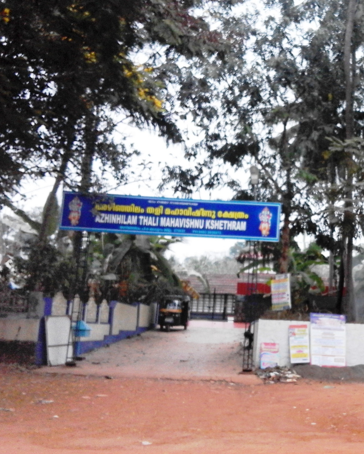
Kovoor Town is a suburb of Kozhikode city on the eastern side. Suburbs and townships * Chevarambalam, Iringadanpalli, and Mayanad * Kottooli and Pottammal, Chevayur and Kavu * Palazhi, MLA Road and NTMC Enclave. The Kovoor Walk On both sides of the national highway in Kovoor Town you can find green paddy fields filled with coconut gardens on the fringes. There is a footpath from Kovoor Town to Iringadanpalli village which takes your further to the Vellimadukunnu Hills on the Wayanad Road. This walk can be extended up to the Poolakkadavu river and the little foot bridge leading to Parambil Bazar town. Palazhi Road The MLA Road from Kovoor Town connects to Palazhi or Milky ocean village. There is a famous Vishnu temple on the beginning of this road. The NTMC Road, Amat Road, AKVK Colony and GKN Road originate from this road. Residential pockets like Nellippathazham, Payyadi Meethal, Ummalathoor and Patheer Madam are in this route. The road ends in Palazhy Junction ... [...More Info...] [...Related Items...] OR: [Wikipedia] [Google] [Baidu] |
Chevayur
Kozhikode East is a suburb of Kozhikode city in India. Kozhikode East includes areas outside the city jurisdiction but they are still closely associated with the city in terms of commerce and everyday life. Location Kozhikode East mainly includes area covered by the Wayanad Road from Vellimadukunnu to Kunnamangalam. The term Mavoor Road is used only for the stretch of the road from Mananchira to Calicut Medical College. The remaining part of the road up to Mavoor village is also considered as Kozhikode East. These two roads are connected by the Mayanad Road which forms a third constituent of ''Kozhikode East''. Suburbs and townships * Koduvally, Chathamangalam, Kettangal and Kunnamangalam, Mukkam * Vellimadukunnu, Paroppady and Cheruvatta * Mayanad, Moozhikkal and Mavoor. * Arambram, Chennamangallur and Eranchiparamb, Koolimadu * Karassery, Kattangal and Koduvally * Kumaranallur , Manashery, Moozhikkal, Kodiyathur * Palangad, Pazhur, Cheruvad ... [...More Info...] [...Related Items...] OR: [Wikipedia] [Google] [Baidu] |
Calicut Airport
Calicut International Airport , also known as Kozhikode Airport or Karipur Airport, is an international airport located in Karipur, Malappuram district of Kerala, India. It serves the Malabar region of Kozhikode, Malappuram, Wayanad and Palakkad. It is situated 28 kilometers away from Kozhikode city and 25 kilometers away from Malappuram city. It serves two of the seven metropolitan areas in the state - Kozhikode metropolitan area and Malappuram metropolitan area. The airport opened on 13 April 1988. The airport serves as an operating base for Air India Express and operates Hajj Pilgrimage services to Medina and Jeddah from Kerala. It is the twenty first–busiest airport in India in terms of overall passenger traffic and also the sixth-busiest airport in India after Delhi, Mumbai, Kochi, Chennai and Hyderabad in terms of international traffic. It received international airport status on 2 February 2006. It is one of a few airports in the country with a tabletop runway. ... [...More Info...] [...Related Items...] OR: [Wikipedia] [Google] [Baidu] |
Kozhikode
Kozhikode (), also known in English as Calicut, is a city along the Malabar Coast in the state of Kerala in India. It has a corporation limit population of 609,224 and a metropolitan population of more than 2 million, making it the second largest metropolitan area in Kerala and the 19th largest in India. Kozhikode is classified as a Tier 2 city by the Government of India. It is the largest city in the region known as the Malabar and was the capital of the British-era Malabar district. In antiquity and the medieval period, Kozhikode was dubbed the ''City of Spices'' for its role as the major trading point for Indian spices. It was the capital of an independent kingdom ruled by the Samoothiris (Zamorins). The port at Kozhikode acted as the gateway to medieval South Indian coast for the Chinese, the Persians, the Arabs and finally the Europeans. According to data compiled by economics research firm Indicus Analytics in 2009 on residences, earnings and investments, Kozhik ... [...More Info...] [...Related Items...] OR: [Wikipedia] [Google] [Baidu] |
Palazhi
Palazhi is a suburb of Kozhikode city in India. It has risen to prominence quite recently because of the UL cyberpark, the Government Cyber park and the creation of a township called HiLITE City and Landmark world and many other flat projectshere. Palazhi town is four kilometres from Thondayad junction in Kozhikode city. Metro International Cardiac Center and the Cradle Maternity hospital are situated at Palazhi. History 100 years ago, the beach area was the centre of the city of Kozhikode. In the 1970s, the downtown shifted to the Mananchira area, and in the 1980s, Mavoor Road became the centre of activity. In the 2010s, the Thondayad Bypass area and the suburb of Palazhi on the Airport road have emerged as the new city centres with a vibrant night life. Palazhi was originally a village with waterlogged streets in monsoon creating problems for the residents. Recently the area has been highly commercialized because of the proximity to the highway road and the eastern part ... [...More Info...] [...Related Items...] OR: [Wikipedia] [Google] [Baidu] |


