|
Texas State Highway 207
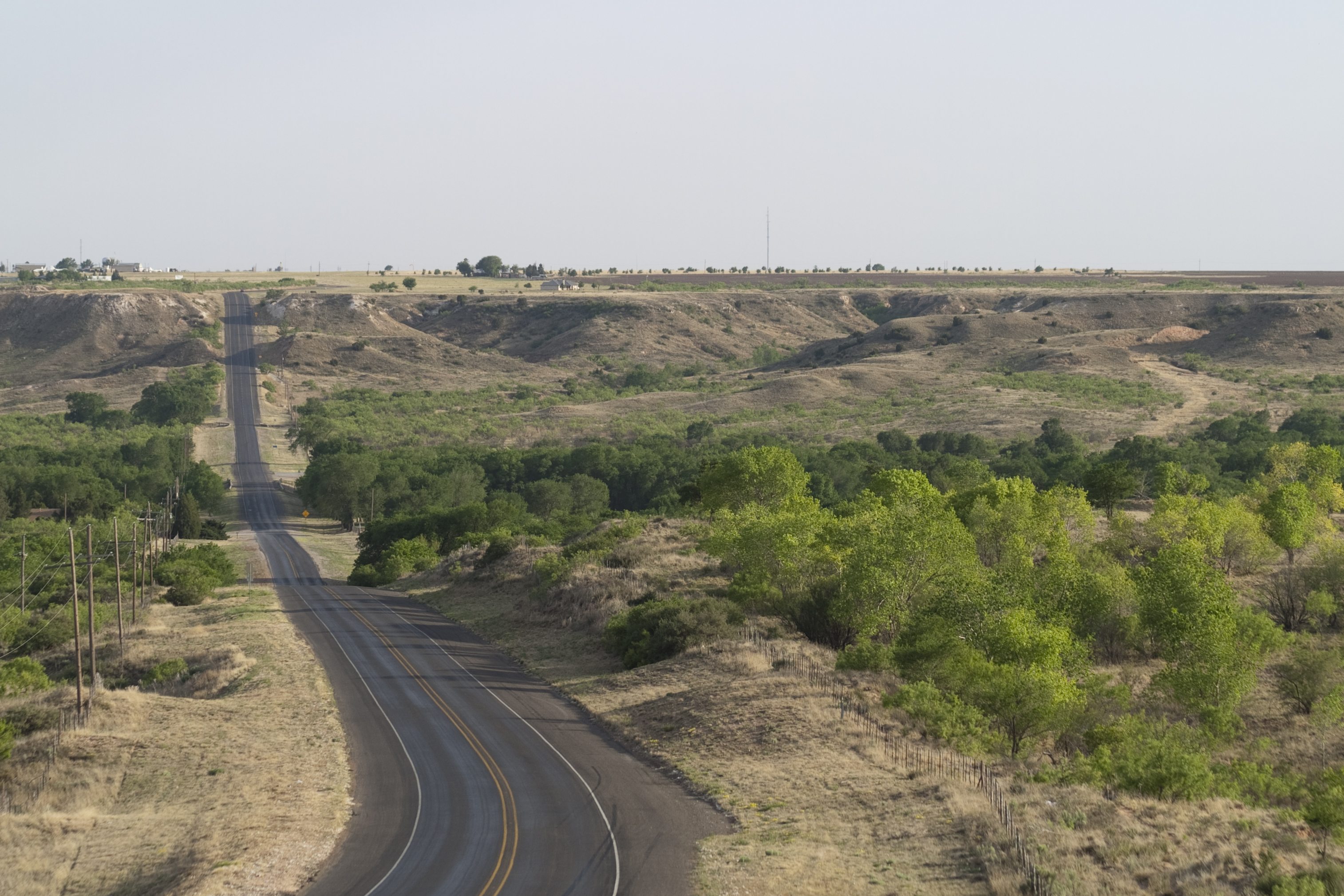
State Highway 207 (SH 207) is a state Highway that runs from Post, Texas through the South Plains and Texas Panhandle to the Texas/Oklahoma state line. History The highway was originally designated on July 31, 1934 between Floydada and Ralls. By 1939, the designation was extended north to Silverton and south to Garden City. On August 1, 1938, a section from Post to Garden City was designated, creating a gap. On October 24, 1938, the section from Ralls to Post was added, closing the gap. On February 21, 1939, SH 207 was extended north to Silverton. On August 27, 1940, the section of SH 207 from Big Spring to Garden City was cancelled. On February 4, 1941, the section of SH 207 from Gail to 8 miles north of Big Spring was cancelled. on March 6, 1941, the section of SH 207 from 8 miles north of Big Spring to Big Spring and the section of SH 207 from Post to Gail was cancelled. On February 28, 1945, the section of SH 207 from Ralls to Post was cancelled and transferred to FM 122. ... [...More Info...] [...Related Items...] OR: [Wikipedia] [Google] [Baidu] |
Post, Texas
Post is a city in and the county seat of Garza County, Texas, United States. Its population was 5,376 at the 2010 United States Census, 2010 census. History Post is located on the edge of the caprock escarpment of the Llano Estacado, the southeastern edge of the Great Plains. It is at the crossroads of U.S. Route 84, U.S. Routes 84 and U.S. Route 380, 380. The land belonged to John Bunyan Slaughter, as it was on his U Lazy S Ranch. In 1906, Slaughter sold it to C. W. Post, the breakfast cereal manufacturer, who founded "Post City" as a utopian colonizing venture in 1907. Post devised the community as a model town. He purchased of ranchland and established the Double U Company to manage the town's construction. The company built trim houses and numerous structures, which included the Algerita Hotel, a gin, and a textile plant. They planted trees along every street and prohibited alcoholic drink, alcoholic beverages and brothels. The Double U Company rented and sold farms and hous ... [...More Info...] [...Related Items...] OR: [Wikipedia] [Google] [Baidu] |
Crosby County, Texas
Crosby County is a county located in the U.S. state of Texas. As of the 2020 census, its population was 5,133. The county seat is Crosbyton. The county was founded in 1876 and later organized in 1886. Both the county and its seat are named for Stephen Crosby, a land commissioner in Texas. Crosby County, along with Lubbock and Lynn Counties, is part of the Lubbock Metropolitan Statistical Area (MSA). The Lubbock MSA and Levelland Micropolitan Statistical Area (µSA), encompassing only Hockley County, form the larger Lubbock–Levelland Combined Statistical Area. Until the passage of a referendum to permit liquor sales, held on May 11, 2013, Crosby County had been one of 19 remaining prohibition or entirely dry counties within Texas. That same day, voters in Denver City and Yoakum County also approved separate referendums to permit liquor sales. The number of prohibition counties in Texas at that time hence dropped to 17. Part of the large Matador Ranch of West Texas extend ... [...More Info...] [...Related Items...] OR: [Wikipedia] [Google] [Baidu] |
Transportation In Crosby County, Texas
Transport (in British English), or transportation (in American English), is the intentional movement of humans, animals, and goods from one location to another. Modes of transport include air, land (rail and road), water, cable, pipeline, and space. The field can be divided into infrastructure, vehicles, and operations. Transport enables human trade, which is essential for the development of civilizations. Transport infrastructure consists of both fixed installations, including roads, railways, airways, waterways, canals, and pipelines, and terminals such as airports, railway stations, bus stations, warehouses, trucking terminals, refueling depots (including fueling docks and fuel stations), and seaports. Terminals may be used both for interchange of passengers and cargo and for maintenance. Means of transport are any of the different kinds of transport facilities used to carry people or cargo. They may include vehicles, riding animals, and pack animals. Vehicles may inclu ... [...More Info...] [...Related Items...] OR: [Wikipedia] [Google] [Baidu] |
Transportation In Garza County, Texas
Transport (in British English), or transportation (in American English), is the intentional movement of humans, animals, and goods from one location to another. Modes of transport include air, land (rail and road), water, cable, pipeline, and space. The field can be divided into infrastructure, vehicles, and operations. Transport enables human trade, which is essential for the development of civilizations. Transport infrastructure consists of both fixed installations, including roads, railways, airways, waterways, canals, and pipelines, and terminals such as airports, railway stations, bus stations, warehouses, trucking terminals, refueling depots (including fueling docks and fuel stations), and seaports. Terminals may be used both for interchange of passengers and cargo and for maintenance. Means of transport are any of the different kinds of transport facilities used to carry people or cargo. They may include vehicles, riding animals, and pack animals. Vehicles may inclu ... [...More Info...] [...Related Items...] OR: [Wikipedia] [Google] [Baidu] |
State Highways In Texas
Texas state highways are a network of highways owned and maintained by the U.S. state of Texas. The Texas Department of Transportation (TxDOT) is the state agency responsible for the day-to-day operations and maintenance of the system. Texas has the largest state highway system, followed closely by North Carolina's state highway system. In addition to the nationally numbered Interstate Highways and U.S. Highways, the highway system consists of a main network of state highways, loops, spurs, and beltways that provide local access to the other highways. The system also includes a large network of farm to market roads that connect rural areas of the state with urban areas and the rest of the state highway system. The state also owns and maintains some park and recreational roads located near and within state and national parks, as well as recreational areas. All state highways, regardless of classification, are paved roads. The Old San Antonio Road, also known as the El Camino ... [...More Info...] [...Related Items...] OR: [Wikipedia] [Google] [Baidu] |
White River (Texas)
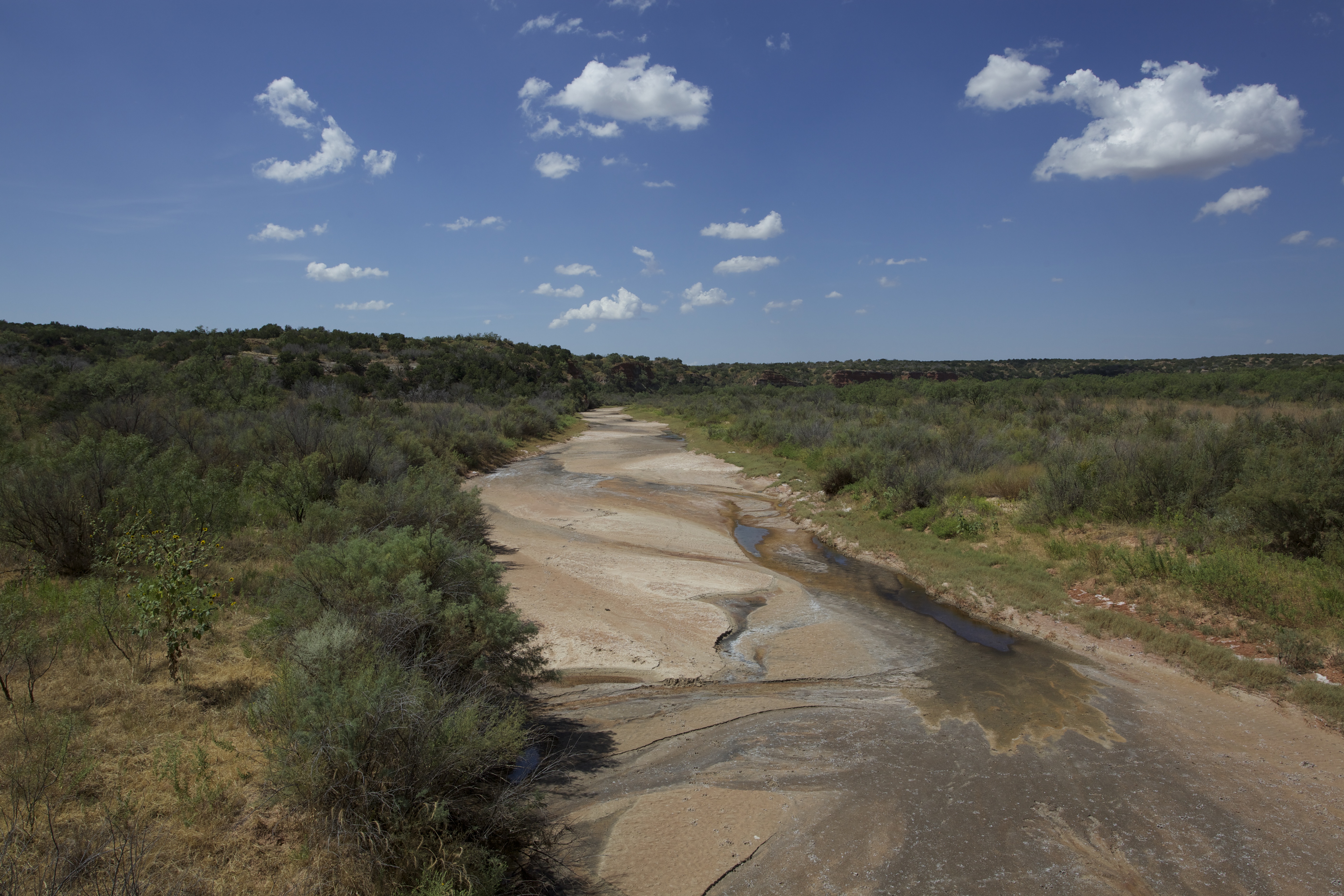
The White River is an intermittent stream in the South Plains of Texas and a tributary of the Brazos River of the United States. It rises west of Floydada in southwestern Floyd County at the confluence of Callahan and Runningwater Draws. From there, it runs southeast for to its mouth on the Salt Fork of the Brazos River in northwestern Kent County. Besides these two headwaters, which rise near Hale Center and in Curry County, New Mexico, respectively, other tributaries include Pete, Crawfish, and Davidson Creeks. The White River drains an area of . The river runs through Blanco Canyon, which it carved as it descends from the Llano Estacado. On October 9, 1871, Col. Ranald S. Mackenzie fought Quanah Parker in the Battle of Blanco Canyon on the river. South of the canyon, in far southeastern Crosby County, it was dammed in 1963 to create a lake, the White River Reservoir, which provides water for the towns of Post, Spur, Crosbyton, and Ralls. The river was known to ... [...More Info...] [...Related Items...] OR: [Wikipedia] [Google] [Baidu] |
Salt Fork Brazos River
The Salt Fork Brazos River is a braided, highly intermittent stream about long, heading along the edge of the Llano Estacado about east-southeast of Lubbock, Texas. From its source, it flows generally east-southeastward to join the Double Mountain Fork to form the Brazos River about west-northwest of Haskell, Texas.United States Board on Geographical Names. 1964. Decisions on Geographical Names in the United States, Decision list no. 6402, United States Department of the Interior, Washington DC, p. 53. The Salt Fork stretches across portions of Crosby, Garza, Kent, and Stonewall counties of West Texas. Geography The Salt Fork Brazos River begins as a dry channel (draw) near the edge of the Llano Estacado in Crosby County, about southwest of the cotton gin in the small farming community of Cap Rock, Texas. From the edge of the Caprock Escarpment, the stream channel generally runs southeastward across southern Crosby County, passing to the east of Courthouse Mountain an ... [...More Info...] [...Related Items...] OR: [Wikipedia] [Google] [Baidu] |
Mushaway Peak
Mushaway Peak is a small but conspicuous butte located southeast of Gail in central Borden County, Texas. It is one of the region's most venerable landmarks. The summit of this peak rises to an altitude of above sea level, which is roughly the same altitude as the High Plains of the Llano Estacado to the northwest. Mushaway Peak is in fact an erosional remnant of what was once a much larger Llano Estacado that has gradually retreated by the process of headward erosion. Its resistant cap has protected its underlying sediments, which have remained intact while surrounding sediments have been eroded away by Grape Creek and Bull Creek, two tributaries of the upper Colorado River. Proper name Mushaway Peak has been known by various names, including: Cordova Mountain, Cordova Peak, De Corde Peak, Mount Irwin, Mochaquo Mountain, Muchakooago Peak, Mucha Koo Ave, Mucha Kooay Mountain, Muchakooayo Peak, Muchakooay Peak, Mucha Koody Mountain, Mucha Kooga, Muchakooga Peak, Muchakooyo Pe ... [...More Info...] [...Related Items...] OR: [Wikipedia] [Google] [Baidu] |
Mount Blanco
Mount Blanco is a small white hill — an erosional remnant — located on the eastern border of the Llano Estacado within Blanco Canyon in Crosby County, Texas. With Blanco Canyon, it is the type locality of the Blanco Formation of Texas and Kansas, as well as the Blancan fauna, which occurs throughout North America. Geology The term "Blanco Canyon beds", later shortened to "Blanco beds", was first applied to this formation in 1890 by William F. Cummins of the Geological Survey of Texas. The Blanco beds are considered to be of lacustrine origin – deposited in a Pleistocene lake basin set upon the Ogallala Formation of Pliocene age, which underlies the upper surface sediments of the Llano Estacado. The thickness of the Blanco beds varies from around thick. The formation mainly consists of light-gray, fine-grained mudstone, sandstone, and some conglomerate. These light-colored sediments contrast sharply with the locally rust-colored sediments of the Ogallala Formation. Fossi ... [...More Info...] [...Related Items...] OR: [Wikipedia] [Google] [Baidu] |
Hamblen Drive
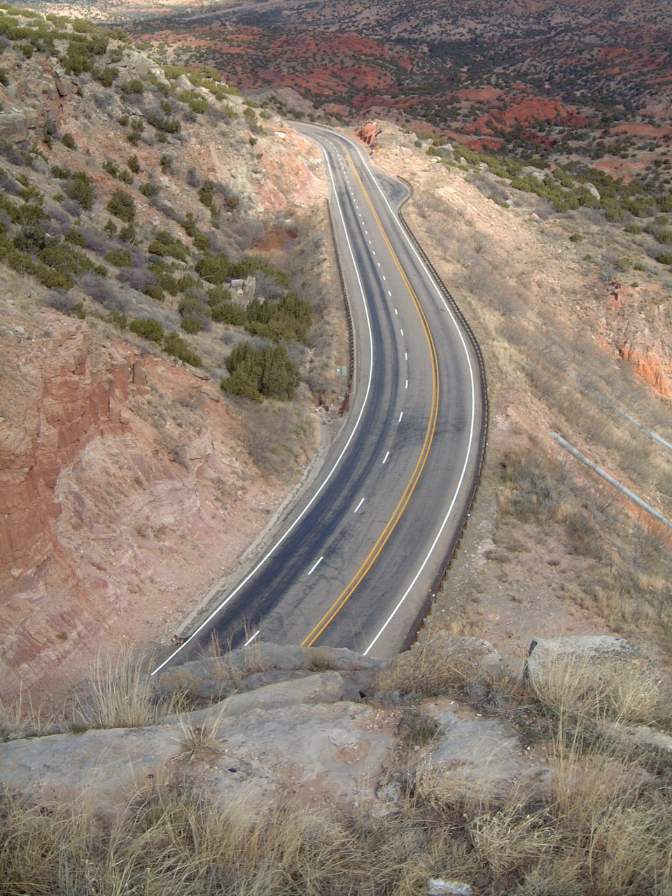
Hamblen Drive is a scenic road located approximately south of Claude, Texas, United States, in Armstrong County. Hamblen Drive itself is a section of Texas State Highway 207, which cuts through Palo Duro Canyon and crosses the Prairie Dog Town Fork Red River. The road is named for Will H. Hamblen (1876–1952) ) who, with his family, first moved to the Palo Duro Canyon area in 1890. He married his wife, Ada, in 1900 and together they ranched near Wayside, Texas after 1905. In the 1890s, Hamblen helped his father haul cedar posts cut from Palo Duro Canyon to Amarillo, Texas to sell for three cents apiece. The journey was made over old Indian trails through the canyon. During these trips Hamblen began to create a crude road, which made it a bit easier to make the trip to Amarillo, and cut approximately 120 miles of the journey to the courthouse in Claude, Texas. This crude road was steep and dangerous, and Hamblen still wanted better roads for the settlers to use. He worked for ma ... [...More Info...] [...Related Items...] OR: [Wikipedia] [Google] [Baidu] |
Farm To Market Road 669
A farm (also called an agricultural holding) is an area of land that is devoted primarily to agricultural processes with the primary objective of producing food and other crops; it is the basic facility in food production. The name is used for specialized units such as arable farms, vegetable farms, fruit farms, dairy, pig and poultry farms, and land used for the production of natural fiber, biofuel and other commodities. It includes ranches, feedlots, orchards, plantations and estates, smallholdings and hobby farms, and includes the farmhouse and agricultural buildings as well as the land. In modern times the term has been extended so as to include such industrial operations as wind farms and fish farms, both of which can operate on land or sea. There are about 570 million farms in the world, most of which are small and family-operated. Small farms with a land area of fewer than 2 hectares operate about 1% of the world's agricultural land, and family farms comprise about 75 ... [...More Info...] [...Related Items...] OR: [Wikipedia] [Google] [Baidu] |
Farm To Market Road 400
Farm to Market Road 400 (FM 400) is a farm to market road located in Lynn, Lubbock, Hale, and Swisher counties in the Llano Estacado of Texas. Route description The southern terminus of FM 400 is at an interchange with US 87 north of the Tahoka city limits. The route travels to the northeast through rural areas of Lynn County, passing to the west of Tahoka Lake and through Wilson along that city's 10th Street before entering Lubbock County. In Slaton, FM 400 turns to the north and crosses US 84 near the southern city limits before entering that city's downtown, where it is concurrent with Bus. US 84 along 9th Street for . The route leaves Slaton and continues north along Vetch Avenue, passing to the east of Slaton Airport, then descending into and climbing out of Yellow House Canyon, to the east of the community of Ransom Canyon. The next major intersection is just east of Idalou, with US 62 / US 82 / SH 114. Co ... [...More Info...] [...Related Items...] OR: [Wikipedia] [Google] [Baidu] |


