|
Te Hana
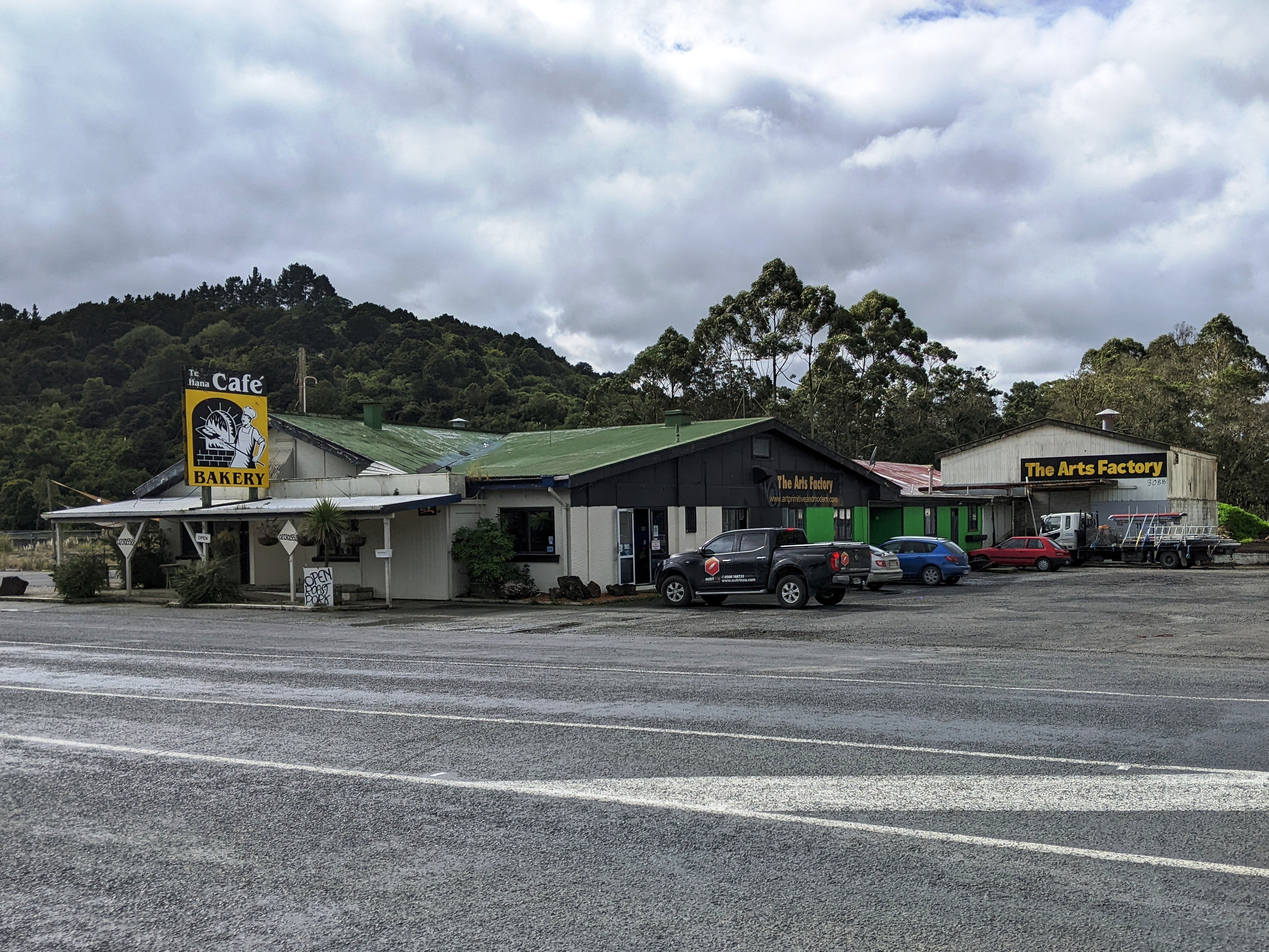
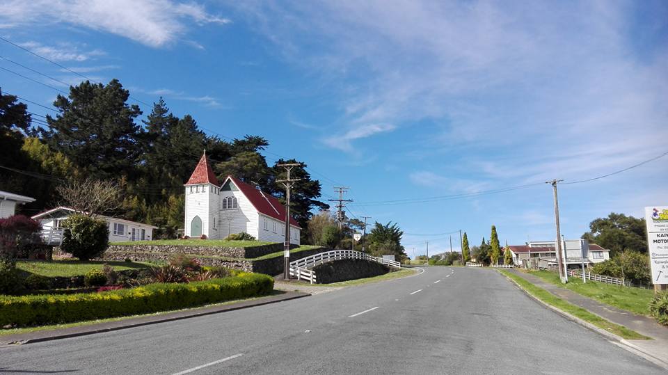
Te Hana is a small town on near the northern boundary of Auckland. Wellsford is to the south, and Kaiwaka is northeast. Te Hana Creek runs westward on the northern end of the town to the Kaipara Harbour. History The town gained a post office in 1871. A school flourished in Te Hana in the early 20th century. The Port Albert Co-operative Dairy Company replaced its factory in Port Albert, New Zealand, Port Albert with a more substantial one in Te Hana in 1934. The dairy factory was the town's major employer until it closed in 1987. After it closed Te Hana declined, with a high crime rate, unemployment of 20%, significant substance abuse, and poor living conditions. Te Hana Community Charitable Development Trust was formed in 2002 to rejuvenate the town, with one of its major initiatives a Māori cultural centre to attract tourists with a recreation of a pre-European Māori village. Demographics Statistics New Zealand describes Te Hana as a rural settlement, which covers . Te ... [...More Info...] [...Related Items...] OR: [Wikipedia] [Google] [Baidu] |
New Zealand
New Zealand ( mi, Aotearoa ) is an island country in the southwestern Pacific Ocean. It consists of two main landmasses—the North Island () and the South Island ()—and over 700 smaller islands. It is the sixth-largest island country by area, covering . New Zealand is about east of Australia across the Tasman Sea and south of the islands of New Caledonia, Fiji, and Tonga. The country's varied topography and sharp mountain peaks, including the Southern Alps, owe much to tectonic uplift and volcanic eruptions. New Zealand's capital city is Wellington, and its most populous city is Auckland. The islands of New Zealand were the last large habitable land to be settled by humans. Between about 1280 and 1350, Polynesians began to settle in the islands and then developed a distinctive Māori culture. In 1642, the Dutch explorer Abel Tasman became the first European to sight and record New Zealand. In 1840, representatives of the United Kingdom and Māori chiefs ... [...More Info...] [...Related Items...] OR: [Wikipedia] [Google] [Baidu] |
Tapora
Tapora is a locality on the Okahukura Peninsula, which is on the eastern side of the Kaipara Harbour in New Zealand. It is part of the Rodney District. Wellsford lies to the East, as does Port Albert and the Wharehine River, while Manukapua Island lies to the West. Early history Early history of Maori tells how the western shores of Okahukura once extended to the entrance of the Kaipara Harbour as sand dunes with two channels into the harbour instead of one, as it is now. This portion of land that was more or less sand dunes was known as Tapora, and was inhabited by the Maori. Great storms gradually caused the sand dunes to drift away, allowing the sea to encroach, leaving only sand bars in the harbour where there was once a whare or large temple on the original sand dunes. The name Okahukura refers to Kahukura, one of the rangatira who arrived to New Zealand aboard the ''Tākitimu'' migratory waka. For ten generations the land of Okahukura remained in the possession of Nga ... [...More Info...] [...Related Items...] OR: [Wikipedia] [Google] [Baidu] |
Māori Religion
Māori religion encompasses the various religious beliefs and practices of the Māori, the Polynesian indigenous people of New Zealand. Traditional Māori religion Traditional Māori religion, that is, the pre-European belief-system of the Māori, differed little from that of their tropical Eastern Polynesian homeland ( Hawaiki Nui), conceiving of everything - including natural elements and all living things - as connected by common descent through whakapapa or genealogy. Accordingly, Māori regarded all things as possessing a life force or mauri. Illustrating this concept of connectedness through genealogy are the major personifications dating from before the period of European contact: * Tangaroa was the personification of the ocean and the ancestor or origin of all fish. * Tāne was the personification of the forest and the origin of all birds. * Rongo was the personification of peaceful activities and agriculture and the ancestor of cultivated plants. (Some sources ... [...More Info...] [...Related Items...] OR: [Wikipedia] [Google] [Baidu] |
2006 New Zealand Census
The New Zealand Census of Population and Dwellings ( mi, Te Tatauranga o ngā Tāngata Huri Noa i Aotearoa me ō rātou Whare Noho) is a national population and housing census conducted by government department Statistics New Zealand every five years. There have been 34 censuses since 1851. In addition to providing detailed information about national demographics, the results of the census play an important part in the calculation of resource allocation to local service providers. The 2018 census took place on Tuesday 6 March 2018. The next census is expected in March 2023. Census date Since 1926, the census has always been held on a Tuesday and since 1966, the census always occurs in March. These are statistically the month and weekday on which New Zealanders are least likely to be travelling. The census forms have to be returned by midnight on census day for them to be valid. Conducting the census Until 2018, census forms were hand-delivered by census workers during the lead ... [...More Info...] [...Related Items...] OR: [Wikipedia] [Google] [Baidu] |
2013 New Zealand Census
The 2013 New Zealand census was the thirty-third national census. "The National Census Day" used for the census was on Tuesday, 5 March 2013. The population of New Zealand was counted as 4,242,048, – an increase of 214,101 or 5.3% over the 2006 census. The 2013 census forms were the same as the forms developed for the 2011 census which was cancelled due to the February 2011 major earthquake in Christchurch. There were no new topics or questions. New Zealand's next census was conducted in March 2018. Collection methods The results from the post-enumeration survey showed that the 2013 census recorded 97.6 percent of the residents in New Zealand on census night. However, the overall response rate was 92.9 percent, with a non-response rate of 7.1 percent made up of the net undercount and people who were counted in the census but had not received a form. Results Population and dwellings Population counts for New Zealand regions. Note: All figures are for the census usually r ... [...More Info...] [...Related Items...] OR: [Wikipedia] [Google] [Baidu] |
2018 New Zealand Census
Eighteen or 18 may refer to: * 18 (number), the natural number following 17 and preceding 19 * one of the years 18 BC, AD 18, 1918, 2018 Film, television and entertainment * ''18'' (film), a 1993 Taiwanese experimental film based on the short story ''God's Dice'' * ''Eighteen'' (film), a 2005 Canadian dramatic feature film * 18 (British Board of Film Classification), a film rating in the United Kingdom, also used in Ireland by the Irish Film Classification Office * 18 (''Dragon Ball''), a character in the ''Dragon Ball'' franchise * "Eighteen", a 2006 episode of the animated television series '' 12 oz. Mouse'' Music Albums * ''18'' (Moby album), 2002 * ''18'' (Nana Kitade album), 2005 * '' 18...'', 2009 debut album by G.E.M. Songs * "18" (5 Seconds of Summer song), from their 2014 eponymous debut album * "18" (One Direction song), from their 2014 studio album ''Four'' * "18", by Anarbor from their 2013 studio album '' Burnout'' * "I'm Eighteen", by Alice Cooper commo ... [...More Info...] [...Related Items...] OR: [Wikipedia] [Google] [Baidu] |
Port Albert, New Zealand
Port Albert is situated on the shores of the Kaipara Harbour, approximately 8 kilometres west of Wellsford, in the Auckland Region of New Zealand. Originally called Albertland, it was the last of the major organised British settlements in New Zealand. The area has become known for its well draining soil, which has made it good agricultural land. History In 1861 William Rawson Brame, a Birmingham Baptist minister, founded the Albertland Special Settlement Association, organising non-conformist immigrants to come to New Zealand as part of the last organised British settlement in New Zealand. They included farmers, carpenters, servants, butchers, joiners, cabinetmakers, millers, drapers, sawyers, clerks and many other trades.Borrows, J.L. (1969). Albertland. A.H & A.W Reed. Auckland Albertland, named for Prince Albert, was planned as a large-scale settlement, and was one of the final settlements sponsored by the colonial government. The Albertlanders set sail for New Zealand ... [...More Info...] [...Related Items...] OR: [Wikipedia] [Google] [Baidu] |
Auckland Region
Auckland () is one of the sixteen regions of New Zealand, which takes its name from the eponymous urban area. The region encompasses the Auckland Metropolitan Area, smaller towns, rural areas, and the islands of the Hauraki Gulf. Containing percent of the nation's residents, it has by far the largest population and economy of any region of New Zealand, but the second-smallest land area. On 1 November 2010, the Auckland region became a unitary authority administered by the Auckland Council, replacing the previous regional council and seven local councils. In the process, an area in its southeastern corner was transferred to the neighbouring Waikato region. Geography On the mainland, the region extends from the mouth of the Kaipara Harbour in the north across the southern stretches of the Northland Peninsula, through the Waitākere Ranges and the isthmus of Auckland and across the low-lying land surrounding the Manukau Harbour, ending within a few kilometres of the ... [...More Info...] [...Related Items...] OR: [Wikipedia] [Google] [Baidu] |
Kaipara Harbour
Kaipara Harbour is a large enclosed harbour estuary complex on the north western side of the North Island of New Zealand. The northern part of the harbour is administered by the Kaipara District and the southern part is administered by the Auckland Council. The local Māori tribe is Ngāti Whātua. By area, the Kaipara Harbour is one of the largest harbours in the world. It covers at high tide, with exposed as mudflats and sandflats at low tide.Heath, RA (1975) ''Stability of some New Zealand coastal inlets.'' New Zealand Journal of Marine and Freshwater Research, 9 (4):449-57. According to Māori tradition, the name Kaipara had its origins back in the 15th century when the Arawa chief, Kahumatamomoe, travelled to the Kaipara to visit his nephew at Pouto. At a feast, he was so impressed with the cooked root of the para fern, that he gave the name Kai-para to the district. ''Kaipara'' comes from the Māori meaning "food", and meaning "king fern". Geography The harbou ... [...More Info...] [...Related Items...] OR: [Wikipedia] [Google] [Baidu] |
Kaiwaka
Kaiwaka "the little town of lights" is a settlement in Northland, New Zealand. The Kaiwaka River runs from the east through the area and joins with the Wairau River to form the Otamatea River, which drains into the Kaipara Harbour. State Highway 1 passes through Kaiwaka. Wellsford is 20 km south, Brynderwyn is 8 km north and Whangarei the closest city, being 60 km (45 minutes drive) north. The Mangawhai Heads are 18 km north east. The New Zealand Ministry for Culture and Heritage gives a translation of "eating the canoes" for ''Kaiwaka''. The reference to food and canoe may reflect the historic Mangapai portage route between Kaiwaka and Mangawhai linking the East coast with the Kaipara Harbour. Local tradition also speaks of a cloud that is only observed in this part of the Kaipara. It is seen as an omen that a high ranking person is about to pass on. ''He kapua pōuri ngā kaiwaka kei runga i te paerangi. He tohu aituā tēnei (Te Ara 2015).'' / Kaiw ... [...More Info...] [...Related Items...] OR: [Wikipedia] [Google] [Baidu] |


.jpg)
