|
Taukum
Taukum ( kk, Тауқұм) is a desert in the Almaty Region, Kazakhstan.Google Earth Geography Taukum is a sandy desert that lies in the southwestern part of the Balkhash-Alakol Basin. It extends to the south of the lower course of the Ili River, from the southern end of Lake Balkhash to the Bozoi Plateau. The Maizharylgan and the Chu-Ili Range rise to the south of the desert. Lake Itishpes is at the northwestern end. The height of the sand dunes is between and .Таукум '''' in 30 vols. — Ch. ed. |
Balkhash-Alakol Basin
The Balkhash-Alakol Basin or Balkhash-Alakol Depression( kk, Балқаш-Алакөл ойысы; rus, Балхаш-Алакольская котловина), is a flat structural basin in southeastern Kazakhstan.Балхаш-Алакольская котловина '''' in 30 vols. — Ch. ed. . - 3rd ed. - M. Soviet Encyclopedia, 1969-1978. (in Russian) |
Ili River
The Ili ( ug, ئىلى دەرياسى, Ili deryasi, Ili dəryasi, 6=Или Дәряси; kk, Ile, ; russian: Или; zh, c=伊犁河, p=Yīlí Hé, dng, Йили хә, Xiao'erjing: اِلِ حْ; mn, Ил, literally "Bareness") is a river situated in Northwest China and Southeastern Kazakhstan. It flows from the Ili Kazakh Autonomous Prefecture of the Xinjiang Uighur Autonomous Region to the Almaty Region in Kazakhstan. It is long (including its source river Tekes),Или of which is in Kazakhstan. The river originates from the Tekes and rivers in ... [...More Info...] [...Related Items...] OR: [Wikipedia] [Google] [Baidu] |
Chu-Ili Range
The Chu-Ili Range ( kk, Шу-Іле таулары) is a range of mountains in Kazakhstan. Administratively it is part of the Almaty Region, Almaty and Zhambyl Region, Zhambyl regions. The M36 Highway (Kazakhstan), M36 Highway skirts the range along its northeastern flank.Google Earth Geography The Chu-Ili Range is ancient and heavily eroded. It is part of the Trans-Ili Alatau, a northern extension of the Tian Shan. It begins to the north of Otar (village), Otar, west of the Kurty, one of the main tributaries of the Ili (river), Ili river, and stretches in a roughly northwestern direction for less than . The Chu River flows to the west of the range and to the northeast stretches the Taukum desert of the Balkhash-Alakol Basin. The highest point of the range is Anyrakay (Аңырақай), a high summit. Aytau is a subrange in the northern section. Its highest point is high Mount Sunkar, Sunkar, located in the Khantau Massif, right to the east of Khantau village. The Maizharylga ... [...More Info...] [...Related Items...] OR: [Wikipedia] [Google] [Baidu] |
Itishpes
Itishpes ( kk, Итішпес; russian: Итишпес) is a salt lake in the Balkhash-Alakol Basin, part of Balkhash District, Almaty Region, and Moiynkum District, Zhambyl Region, Kazakhstan. The lake is one of a number of lakes in the region that are known as Alakol. The nearest inhabited places are Burubaytal, Balatopar, Aksuyek and Mirny. Geography Itishpes is an endorheic lake of the Balkhash-Alakol Depression. It lies to the south of Shempek Bay, the southernmost area of Lake Balkhash, northwest of the Taukum desert. The border between the Almaty and Zhambyl Regions runs roughly from northwest to southeast across the middle of the lake.Итишпес ''Kazakhstan National encyclopedia.'' / General ed. B. O. Jacob. - Almaty: "Kazakh Encyclopedia", 2011. ... [...More Info...] [...Related Items...] OR: [Wikipedia] [Google] [Baidu] |
Saltwort Saltwort is a common name for various genera of flowering plants that thrive in salty environments, typically in coastal salt marshes and seashores, including: :*''Salsola'' and related genera within subfamily ''Salsoloideae'' :*''Salicornia'' :*''Tecticornia'' :*''Sarcocornia'' :*''Suaeda'' :*''Halogeton'' :* and others: the above genera are in the family ''Amaranthaceae'', which contains certain other saltwort genera not mentioned above, but not all ''Amaranthaceae'' are saltworts. :*'' Batis'', in the family ''Bataceae'' The ashes of these plants yield soda ash, which is an important ingredient for glassmaking and soapmaking. See also glasswort – glassworts are saltworts, and saltworts can be glassworts See also Saltbush Saltbush is a vernacular plant name that most often refers to ''Atriplex'', a genus of about 250 plants distributed worldwide from subtropical to subarctic regions. ''Atriplex'' species are native to Australia, North and South America, and Eurasia. ... [...More Info...] [...Related Items...] OR: [Wikipedia] [Google] [Baidu] |
Deserts Of Central Asia
A desert is a barren area of landscape where little precipitation occurs and, consequently, living conditions are hostile for plant and animal life. The lack of vegetation exposes the unprotected surface of the ground to denudation. About one-third of the land surface of the Earth is arid or semi-arid. This includes much of the polar regions, where little precipitation occurs, and which are sometimes called polar deserts or "cold deserts". Deserts can be classified by the amount of precipitation that falls, by the temperature that prevails, by the causes of desertification or by their geographical location. Deserts are formed by weathering processes as large variations in temperature between day and night put strains on the rocks, which consequently break in pieces. Although rain seldom occurs in deserts, there are occasional downpours that can result in flash floods. Rain falling on hot rocks can cause them to shatter, and the resulting fragments and rubble strewn over the d ... [...More Info...] [...Related Items...] OR: [Wikipedia] [Google] [Baidu] |
Geography Of Kazakhstan
Kazakhstan is located in Central Asia (with 14% of the country in Eastern Europe). With an area of about Kazakhstan is more than twice the combined size of the other four Central Asian states and 60% larger than Alaska. The country borders Turkmenistan, Uzbekistan, and Kyrgyzstan to the south; Russia to the north; Russia and the Caspian Sea to the west; and China's Xinjiang Uygur Autonomous Region to the east. Topography and drainage There is considerable topographical variation within Kazakhstan. The highest point is the top of the mountain Khan Tengri, on the Kyrgyz border in the Tian Shan range, with an elevation of above sea level; the lowest point is the bottom of the Karagiye depression at below sea level, in the Mangystau province east of the Caspian Sea. Most of the country lies at between above sea level, but Kazakhstan's Caspian shore includes some of the lowest elevations on Earth. The peak Khan Tengri in the Tian Shan Mountains (and on the border with Kyrgyzstan a ... [...More Info...] [...Related Items...] OR: [Wikipedia] [Google] [Baidu] |
Riparian Forest
A riparian forest or riparian woodland is a forested or wooded area of land adjacent to a body of water such as a river, stream, pond, lake, marshland, estuary, canal, sink or reservoir. Etymology The term riparian comes from the Latin word ''ripa'', 'river bank'; technically it only refers to areas adjacent to flowing bodies of water such as rivers, streams, sloughs and estuaries. However, the terms ''riparian forest'' and ''riparian zone'' have come to include areas adjacent to non-flowing bodies of water such as ponds, lakes, playas and reservoirs. Characteristics Riparian forests are subject to frequent inundation. Riparian forests help control sediment, reduce the damaging effects of flooding and aid in stabilizing stream banks. Riparian zones are transition zones between an upland terrestrial environment and an aquatic environment. Organisms found in this zone are adapted to periodic flooding. Many not only tolerate it, but require it in order to maintain health an ... [...More Info...] [...Related Items...] OR: [Wikipedia] [Google] [Baidu] |
Wheatgrass
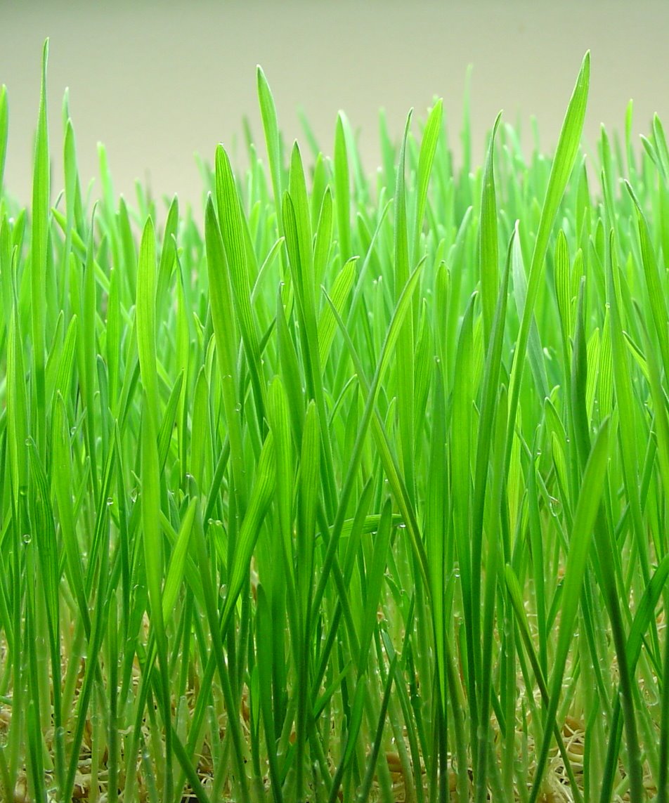
Wheatgrass is the freshly sprouted first leaves of the common wheat plant (''Triticum aestivum''), used as a food, drink, or dietary supplement. Wheatgrass is served freeze dried or fresh, and so it differs from wheat malt, which is convectively dried. Wheatgrass is allowed to grow longer and taller than wheat malt. Like most plants, wheatgrass contains chlorophyll, amino acids, minerals, vitamins and enzymes. Claims about the health benefits of wheatgrass range from providing supplemental nutrition to having unique curative properties, but these claims have not been scientifically proven. Wheatgrass juice is often available at juice bars, and some people grow and juice their own in their homes. It is available fresh as produce, in tablets, frozen juice, and powder. Wheatgrass is also sold commercially as a spray, cream, gel, massage lotion, and liquid herbal supplement. Because it is extracted from wheatgrass sprouts (that is, before the wheat seed or "berry" begins to f ... [...More Info...] [...Related Items...] OR: [Wikipedia] [Google] [Baidu] |
Saxaul
''Haloxylon'' is a genus of shrubs or small trees, belonging to the plant family Amaranthaceae. ''Haloxylon'' and its species are known by the common name saxaul. According to Dmitry Ushakov, the name borrowed from the Kazakh "seksevil". In modern Kazakh language, the shrub is called "seksewil". According to the school etymological dictionary, the name ''saksaul'' was borrowed in the 19th century from the Turkic languages. Description The species of genus ''Haloxylon'' are shrubs or small trees (rarely up to ) tall, with a thick trunk and many branches. The branches of the current year are green, from erect to pendant. The leaves are reduced to small scales. The inflorescences are short shoots borne on the stems of the previous year. The flowers are very small, as long or shorter than the bracteoles, bisexual or male. The two stigmas are very short. In fruit, the perianth segments develop spreading wings. The fruit with wings is about in diameter. The seed is about in diameter ... [...More Info...] [...Related Items...] OR: [Wikipedia] [Google] [Baidu] |
Artemisia (plant)
''Artemisia'' () is a large, diverse genus of plants with between 200 and 400 species belonging to the daisy family Asteraceae. Common names for various species in the genus include mugwort, wormwood, and sagebrush. ''Artemisia'' comprises hardy herbaceous plants and shrubs, which are known for the powerful chemical constituents in their essential oils. ''Artemisia'' species grow in temperate climates of both hemispheres, usually in dry or semiarid habitats. Notable species include '' A. vulgaris'' (common mugwort), '' A. tridentata'' (big sagebrush), '' A. annua'' (sagewort), '' A. absinthium'' (wormwood), ''A. dracunculus'' (tarragon), and '' A. abrotanum'' (southernwood). The leaves of many species are covered with white hairs. Most species have strong aromas and bitter tastes from terpenoids and sesquiterpene lactones, which discourage herbivory, and may have had a selective advantage. The small flowers are wind-pollinated. ''Artemisia'' species are ... [...More Info...] [...Related Items...] OR: [Wikipedia] [Google] [Baidu] |
Calligonum
''Calligonum'' is a genus of plants in the family Polygonaceae with about 80 species across the Mediterranean Sea region, Asia and North America. Description Plants of the genus ''Calligonum'' are shrubs, diffusely but irregularly branched, with flexuous woody branches. Leaves are simple, opposite, nearly sessile, linear or scale-like, sometimes absent or very small, linear or filiform, distinct or united with short membranous ochreae. Flowers are bisexual, solitary or in loose axillary inflorescences. Flowers have persistent, 5-parted perianths not accrescent in fruit, and 10-18 stamens with filaments connate at the base. The ovary is tetragonous. Taxonomy The genus ''Calligonum'' was first published by Carl Linnaeus in 1753. It is placed in the subfamily Polygonoideae, tribe Calligoneae, along with its sister genus, ''Pteropyrum''. Species *''Calligonum acanthopterum'' I.G.Borshch. *''Calligonum alatosetosum'' Maassoumi & Kazempour *'' Calligonum aphyllum'' (Pall.) Gürke ... [...More Info...] [...Related Items...] OR: [Wikipedia] [Google] [Baidu] |


