|
Taubenklippe
The ''Taubenklippe'' is a rock formation in the Harz mountains in the German state of Saxony-Anhalt. It lies about halfway between Bad Harzburg and Ilsenburg at a height of on the eastern slopes of the Ecker valley. From the crag there is a good view over Harz Foreland, the heights near Bad Harzburg and the highest mountain in the Har, the Brocken. The ''Taubenklippe'' may be reached from the Ecker valley on a footpath, some 6 km long, that starts in Ilsenburg. The ''Taubenklippe'' is checkpoint number 4 in the ''Harzer Wandernadel'' hiking trail network. ''See also'': List of rock formations in the Harz This is a list of rock formations in the Harz. They are known as the Harzklippen (literally "Harz crags" or "Harz cliffs") in German, which is the collective name for the, mainly, granite rock outcrops, crags and tors in the Harz moun ... {{SaxonyAnhalt-geo-stub Rock formations of the Harz ... [...More Info...] [...Related Items...] OR: [Wikipedia] [Google] [Baidu] |
List Of Rock Formations In The Harz
This is a list of rock formations in the Harz. They are known as the Harzklippen (literally "Harz crags" or "Harz cliffs") in German, which is the collective name for the, mainly, granite rock outcrops, crags and tors in the Harz mountains of Germany. Most of them have the status of a natural monument. The following list contains an alphabetically-sorted selection of rock formations in the Harz with - where known - their height in metres (m) above sea level, referenced to Normalnull (NN): * Achtermannstor (max. c. 900 m), on the Achtermannshöhe, near Braunlage, Lower Saxony * Ackertklippe, near Königshütte, Saxony-Anhalt * Adlerklippen (max. c. 340 m), in the valley of the Oker, near Goslar-Oker, Lower Saxony * Adlersklippen (see below: ''Teufelsmauer'') * Ahrentsklint (''Ahrentsklintklippe''; max. 822.4 m), on the Erdbeerkopf, near Schierke, Saxony-Anhalt * Altarklippen (max. c. 490 m), on the Heimberg, near Lautenthal, Lower Saxony * Anhaltin ... [...More Info...] [...Related Items...] OR: [Wikipedia] [Google] [Baidu] |
Harzer Wandernadel
The Harzer Wandernadel is a system of hiking awards in the Harz mountains in central Germany. The hiker (or mountain biker) can earn awards at different levels of challenge by walking to the various checkpoints in the network and stamping his or her passbook to record the visit. With 222 checkpoints in three federal states and across five districts in the Harz and with membership in five figures, the system has gained a following Germany-wide. Purpose The idea of the ''Wandernadel'' (literally "hiking needle/pin" --> "hiking badge") is to give those holidaying in the Harz a worthwhile goal to achieve and encourage them to stay for longer or return. It also aims to encourage those who live in the local area to go hiking and improve their fitness. In addition the system helps tourists and locals to get to know the many different sights and hiking trails in the Harz. To that end, checkpoints have been located at scenic viewing points, places of geological or botanical, culturalbo ... [...More Info...] [...Related Items...] OR: [Wikipedia] [Google] [Baidu] |
Harz Mountains
The Harz () is a highland area in northern Germany. It has the highest elevations for that region, and its rugged terrain extends across parts of Lower Saxony, Saxony-Anhalt, and Thuringia. The name ''Harz'' derives from the Middle High German word ''Hardt'' or ''Hart'' (hill forest). The name ''Hercynia'' derives from a Celtic name and could refer to other mountain forests, but has also been applied to the geology of the Harz. The Brocken is the highest summit in the Harz with an elevation of above sea level. The Wurmberg () is the highest peak located entirely within the state of Lower Saxony. Geography Location and extent The Harz has a length of , stretching from the town of Seesen in the northwest to Eisleben in the east, and a width of . It occupies an area of , and is divided into the Upper Harz (''Oberharz'') in the northwest, which is up to 800 m high, apart from the 1,100 m high Brocken massif, and the Lower Harz (''Unterharz'') in the east which is up to aroun ... [...More Info...] [...Related Items...] OR: [Wikipedia] [Google] [Baidu] |
Saxony-Anhalt
Saxony-Anhalt (german: Sachsen-Anhalt ; nds, Sassen-Anholt) is a state of Germany, bordering the states of Brandenburg, Saxony, Thuringia and Lower Saxony. It covers an area of and has a population of 2.18 million inhabitants, making it the 8th-largest state in Germany by area and the 11th-largest by population. Its capital is Magdeburg and its largest city is Halle (Saale). The state of Saxony-Anhalt was formed in July 1945 after World War II, when the Soviet army administration in Allied-occupied Germany formed it from the former Prussian Province of Saxony and the Free State of Anhalt. Saxony-Anhalt became part of the German Democratic Republic in 1949, but was dissolved in 1952 during administrative reforms and its territory divided into the districts of Halle and Magdeburg. Following German reunification the state of Saxony-Anhalt was re-established in 1990 and became one of the new states of the Federal Republic of Germany. Saxony-Anhalt is renowned for its ri ... [...More Info...] [...Related Items...] OR: [Wikipedia] [Google] [Baidu] |
Bad Harzburg
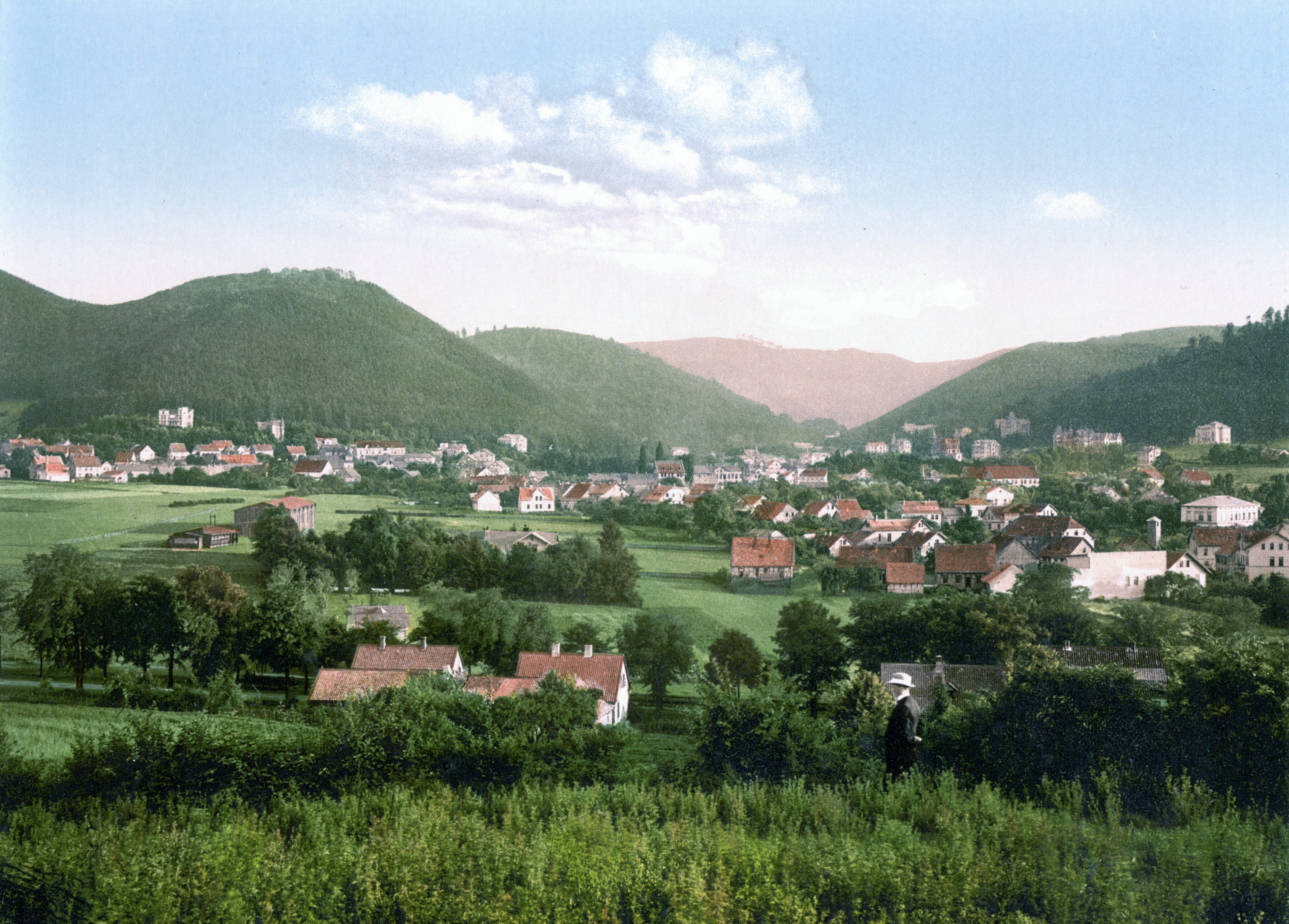
Bad Harzburg (; Eastphalian: ''Bad Harzborch'') is a spa town in central Germany, in the Goslar district of Lower Saxony. It lies on the northern edge of the Harz mountains and is a recognised saltwater spa and climatic health resort. Geography Bad Harzburg is situated at the northern foot of the Harz mountain range on the edge of the Harz National Park. To the east of the borough is the boundary between the states of Lower Saxony and Saxony-Anhalt, the former Inner German Border. The small ''Radau'' river, a tributary to the Oker, has its source in the Harz mountains and flows through the town. Nearby are the towns of Goslar to the west, Vienenburg to the north, Braunlage to the south and Ilsenburg and Osterwieck in the east. Bad Harzburg is rich in natural resources such as gabbro, chalk, gravel, and oolithic iron ore (former Hansa Pit), all of which are or were mined in today's city's area. Climatically Bad Harzburg is a transition zone to a pure alpine region with a pro ... [...More Info...] [...Related Items...] OR: [Wikipedia] [Google] [Baidu] |
Ilsenburg
Ilsenburg () is a town in the district of Harz, in Saxony-Anhalt in Germany. It is situated under the north foot of the Harz Mountains, at the entrance to the Ilse valley with its little river, the Ilse, a tributary of the Oker, about six north-west of the town of Wernigerode. It received town privileges in 1959. Owing to its surrounding of forests and mountains as well as its position on the edge of the Harz National Park, Ilsenburg is a popular tourist resort. Since 2002, it is officially an air spa. History The old castle, ''Schloss Ilsenburg'', lying on a high crag above the town, was originally an imperial stronghold and probably built by King Henry I. In 995 Emperor Otto III resided in ''Elysynaburg'', which Henry II bestowed in 1003 upon the Bishop of Halberstadt, who converted it into a Benedictine monastery. The school attached to it enjoyed a great reputation towards the end of the 11th century. The abbey was finally devastated during the German Peasants' War in ... [...More Info...] [...Related Items...] OR: [Wikipedia] [Google] [Baidu] |
Ecker
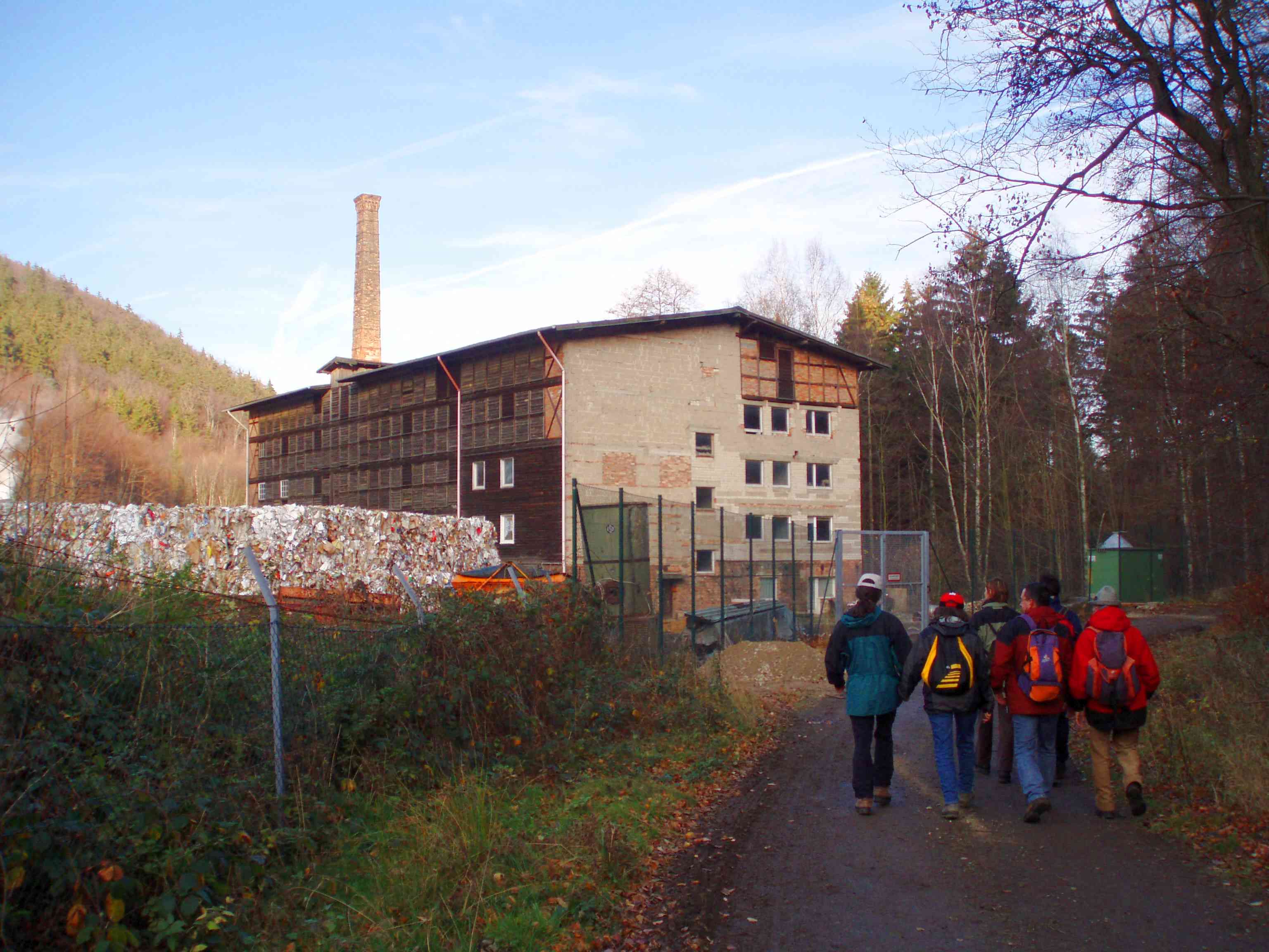
The Ecker is a , right-hand, southeast tributary of the Oker which runs mainly through the Harz mountains in the German states of Saxony-Anhalt and Lower Saxony. Course From its source to Abbenrode the Ecker is a border river, today running between the federal states of Saxony-Anhalt and Lower Saxony. Prior to German reunification this was also the border between the German Democratic Republic in the east and Federal Republic of Germany to the west. The Ecker rises around southwest of the Brocken at at the ''Eckersprung''. Until the border was reopened it was the end of the Goethe Way (''Goetheweg'') from Torfhaus. Today there is a large picnic area with toilets at the ''Eckersprung''. Along a steep, rocky bed, the Ecker initially flows to the Ecker Dam, then through the deeply incised Ecker valley towards the north-northeast, where it passes the Ahlsburg, and then leaves the Harz. The upper Ecker valley is part of the Harz National Park. Only the site of the paper facto ... [...More Info...] [...Related Items...] OR: [Wikipedia] [Google] [Baidu] |
Harz Foreland
The Harz () is a highland area in northern Germany. It has the highest elevations for that region, and its rugged terrain extends across parts of Lower Saxony, Saxony-Anhalt, and Thuringia. The name ''Harz'' derives from the Middle High German word ''Hardt'' or ''Hart'' (hill forest). The name ''Hercynia'' derives from a Celtic name and could refer to other mountain forests, but has also been applied to the geology of the Harz. The Brocken is the highest summit in the Harz with an elevation of above sea level. The Wurmberg () is the highest peak located entirely within the state of Lower Saxony. Geography Location and extent The Harz has a length of , stretching from the town of Seesen in the northwest to Eisleben in the east, and a width of . It occupies an area of , and is divided into the Upper Harz (''Oberharz'') in the northwest, which is up to 800 m high, apart from the 1,100 m high Brocken massif, and the Lower Harz (''Unterharz'') in the east which is up to aroun ... [...More Info...] [...Related Items...] OR: [Wikipedia] [Google] [Baidu] |
Brocken
The Brocken, also sometimes referred to as the Blocksberg, is the highest peak in the Harz mountain range and also the highest peak in Northern Germany; it is near Schierke in the German state of Saxony-Anhalt between the rivers Weser and Elbe. Although its elevation of is below alpine dimensions, its microclimate resembles that of mountains of about . The peak above the tree line tends to have a snow cover from September to May, and mists and fogs shroud it up to 300 days of the year. The mean annual temperature is only . It is the easternmost mountain in northern Germany; travelling east in a straight line, the next prominent elevation would be in the Ural Mountains in Russia. The Brocken has always played a role in legends and has been connected with witches and devils; Johann Wolfgang von Goethe took up the legends in his play ''Faust''. The Brocken spectre is a common phenomenon on this misty mountain, where a climber's shadow cast upon fog creates eerie optical effects. ... [...More Info...] [...Related Items...] OR: [Wikipedia] [Google] [Baidu] |


