|
Tansill Formation
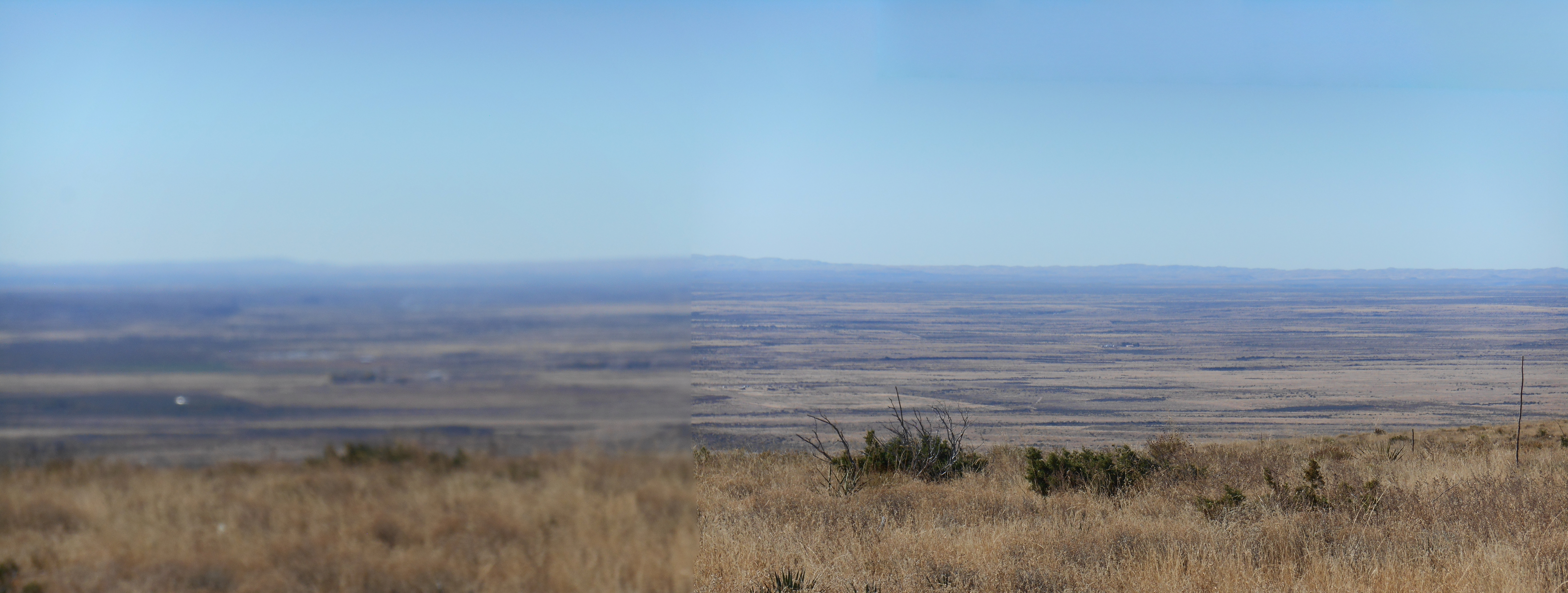
The Tansill Formation is a geologic formation in southeastern New Mexico and west Texas, United States.DeFord ''et al.'' 1928 It preserves fossils dating back to the late Guadalupian Age of the Permian period.Tait ''et al.'' 1962 Description The formation consists of limestone, siltstone, and anhydrite that is extensive in the subsurface in southeastern New Mexico and west Texas. The formation is mostly limestone in the south and west, around the rim of the Delaware Basin, and grades into anhydrite in the north and east. It forms the top of the Capitan reef but dips steeply into the subsurface.DeFord and Riggs 1941 It has a total thickness of .Newell ''et al.'' 1953 It overlies the Yates Formation.King 1948 The formation is part of the Artesia Group, which is interpreted as a shelf rock sequence. History of investigation The formation was first named by DeFord ''et al.'' in 1938 and formally defined in 1941 and assigned to the (now abandoned) Whitehorse Group. Tait ''et ... [...More Info...] [...Related Items...] OR: [Wikipedia] [Google] [Baidu] |
Formation (stratigraphy)
A geological formation, or simply formation, is a body of rock having a consistent set of physical characteristics (lithology) that distinguishes it from adjacent bodies of rock, and which occupies a particular position in the layers of rock exposed in a geographical region (the stratigraphic column). It is the fundamental unit of lithostratigraphy, the study of strata or rock layers. A formation must be large enough that it can be mapped at the surface or traced in the subsurface. Formations are otherwise not defined by the thickness (geology), thickness of their rock strata, which can vary widely. They are usually, but not universally, tabular in form. They may consist of a single lithology (rock type), or of alternating beds of two or more lithologies, or even a heterogeneous mixture of lithologies, so long as this distinguishes them from adjacent bodies of rock. The concept of a geologic formation goes back to the beginnings of modern scientific geology. The term was used by ... [...More Info...] [...Related Items...] OR: [Wikipedia] [Google] [Baidu] |
Age (geology)
The geologic time scale, or geological time scale, (GTS) is a representation of time based on the rock record of Earth. It is a system of chronological dating that uses chronostratigraphy (the process of relating strata to time) and geochronology (scientific branch of geology that aims to determine the age of rocks). It is used primarily by Earth scientists (including geologists, paleontologists, geophysicists, geochemists, and paleoclimatologists) to describe the timing and relationships of events in geologic history. The time scale has been developed through the study of rock layers and the observation of their relationships and identifying features such as lithologies, paleomagnetic properties, and fossils. The definition of standardized international units of geologic time is the responsibility of the International Commission on Stratigraphy (ICS), a constituent body of the International Union of Geological Sciences (IUGS), whose primary objective is to precisely define ... [...More Info...] [...Related Items...] OR: [Wikipedia] [Google] [Baidu] |
Paleontology In New Mexico
Paleontology in New Mexico refers to paleontological research occurring within or conducted by people from the U.S. state of New Mexico. The fossil record of New Mexico is exceptionally complete and spans almost the entire stratigraphic column. More than 3,300 different kinds of fossil organisms have been found in the state. Of these more than 700 of these were new to science and more than 100 of those were type species for new genera. During the early Paleozoic, southern and western New Mexico were submerged by a warm shallow sea that would come to be home to creatures including brachiopods, bryozoans, cartilaginous fishes, corals, graptolites, nautiloids, placoderms, and trilobites. During the Ordovician the state was home to algal reefs up to 300 feet high. During the Carboniferous, a richly vegetated island chain emerged from the local sea. Coral reefs formed in the state's seas while terrestrial regions of the state dried and were home to sand dunes. Local wildlife includ ... [...More Info...] [...Related Items...] OR: [Wikipedia] [Google] [Baidu] |
List Of Fossiliferous Stratigraphic Units In New Mexico
This article contains a list of fossil-bearing stratigraphic units in the state of New Mexico, U.S. Sites See also * Paleontology in New Mexico References * {{DEFAULTSORT:Fossiliferous stratigraphic units in New Mexico New Mexico Stratigraphic units A stratigraphic unit is a volume of Rock (geology), rock of identifiable origin and relative age range that is defined by the distinctive and dominant, easily mapped and recognizable petrology, petrographic, lithology, lithologic or paleontology, p ... Stratigraphy of New Mexico New Mexico geography-related lists United States geology-related lists ... [...More Info...] [...Related Items...] OR: [Wikipedia] [Google] [Baidu] |
Delaware Basin
The Delaware Basin is a geologic depositional and structural basin in West Texas and southern New Mexico, famous for holding large oil fields and for a fossilized reef exposed at the surface. Guadalupe Mountains National Park and Carlsbad Caverns National Park protect part of the basin. It is part of the larger Permian Basin, itself contained within the Mid-Continent oil province. Geology By earliest Permian time, during the Wolfcampian Epoch, the ovoid shaped subsiding Delaware Basin extended over 10,000 square miles (26,000 km²) in what is now western Texas and southeast New Mexico.. This period of deposition left a thickness of 1600 to 2200 feet (490 to 670 m) of limestone interbedded with dark-colored shale. A narrow outlet that geologists call the ''Hovey Channel'' periodically supplied new seawater from the Panthalassa Ocean to the west. The somewhat smaller and shallower Midland Basin was just east and the much smaller Marfa Basin was to the southwe ... [...More Info...] [...Related Items...] OR: [Wikipedia] [Google] [Baidu] |
Limestone
Limestone ( calcium carbonate ) is a type of carbonate sedimentary rock which is the main source of the material lime. It is composed mostly of the minerals calcite and aragonite, which are different crystal forms of . Limestone forms when these minerals precipitate out of water containing dissolved calcium. This can take place through both biological and nonbiological processes, though biological processes, such as the accumulation of corals and shells in the sea, have likely been more important for the last 540 million years. Limestone often contains fossils which provide scientists with information on ancient environments and on the evolution of life. About 20% to 25% of sedimentary rock is carbonate rock, and most of this is limestone. The remaining carbonate rock is mostly dolomite, a closely related rock, which contains a high percentage of the mineral dolomite, . ''Magnesian limestone'' is an obsolete and poorly-defined term used variously for dolomite, for limes ... [...More Info...] [...Related Items...] OR: [Wikipedia] [Google] [Baidu] |
Period (geology)
The geologic time scale, or geological time scale, (GTS) is a representation of time based on the rock record of Earth. It is a system of chronological dating that uses chronostratigraphy (the process of relating strata to time) and geochronology (scientific branch of geology that aims to determine the age of rocks). It is used primarily by Earth scientists (including geologists, paleontologists, geophysicists, geochemists, and paleoclimatologists) to describe the timing and relationships of events in geologic history. The time scale has been developed through the study of rock layers and the observation of their relationships and identifying features such as lithologies, paleomagnetic properties, and fossils. The definition of standardized international units of geologic time is the responsibility of the International Commission on Stratigraphy (ICS), a constituent body of the International Union of Geological Sciences (IUGS), whose primary objective is to precisely define ... [...More Info...] [...Related Items...] OR: [Wikipedia] [Google] [Baidu] |
Permian
The Permian ( ) is a geologic period and stratigraphic system which spans 47 million years from the end of the Carboniferous Period million years ago (Mya), to the beginning of the Triassic Period 251.9 Mya. It is the last period of the Paleozoic Era; the following Triassic Period belongs to the Mesozoic Era. The concept of the Permian was introduced in 1841 by geologist Sir Roderick Murchison, who named it after the region of Perm in Russia. The Permian witnessed the diversification of the two groups of amniotes, the synapsids and the sauropsids ( reptiles). The world at the time was dominated by the supercontinent Pangaea, which had formed due to the collision of Euramerica and Gondwana during the Carboniferous. Pangaea was surrounded by the superocean Panthalassa. The Carboniferous rainforest collapse left behind vast regions of desert within the continental interior. Amniotes, which could better cope with these drier conditions, rose to dominance in place of their am ... [...More Info...] [...Related Items...] OR: [Wikipedia] [Google] [Baidu] |
Guadalupian
The Guadalupian is the second and middle series/epoch of the Permian. The Guadalupian was preceded by the Cisuralian and followed by the Lopingian. It is named after the Guadalupe Mountains of New Mexico and Texas, and dates between 272.95 ± 0.5 – 259.1 ± 0.4 Mya. The series saw the rise of the therapsids, a minor extinction event called Olson's Extinction and a significant mass extinction called the end-Capitanian extinction event. The Guadalupian was previously known as the Middle Permian. Name and background The Guadalupian is the second and middle series or epoch of the Permian. Previously called Middle Permian, the name of this epoch is part of a revision of Permian stratigraphy for standard global correlation. The name "Guadalupian" was first proposed in the early 1900s, and approved by the International Subcommission on Permian Stratigraphy in 1996. References to the Middle Permian still exist. The Guadalupian was preceded by the Cisuralian and followed by the Lop ... [...More Info...] [...Related Items...] OR: [Wikipedia] [Google] [Baidu] |
Limestone
Limestone ( calcium carbonate ) is a type of carbonate sedimentary rock which is the main source of the material lime. It is composed mostly of the minerals calcite and aragonite, which are different crystal forms of . Limestone forms when these minerals precipitate out of water containing dissolved calcium. This can take place through both biological and nonbiological processes, though biological processes, such as the accumulation of corals and shells in the sea, have likely been more important for the last 540 million years. Limestone often contains fossils which provide scientists with information on ancient environments and on the evolution of life. About 20% to 25% of sedimentary rock is carbonate rock, and most of this is limestone. The remaining carbonate rock is mostly dolomite, a closely related rock, which contains a high percentage of the mineral dolomite, . ''Magnesian limestone'' is an obsolete and poorly-defined term used variously for dolomite, for limes ... [...More Info...] [...Related Items...] OR: [Wikipedia] [Google] [Baidu] |
Fossils
A fossil (from Classical Latin , ) is any preserved remains, impression, or trace of any once-living thing from a past geological age. Examples include bones, shells, exoskeletons, stone imprints of animals or microbes, objects preserved in amber, hair, petrified wood and DNA remnants. The totality of fossils is known as the ''fossil record''. Paleontology is the study of fossils: their age, method of formation, and evolutionary significance. Specimens are usually considered to be fossils if they are over 10,000 years old. The oldest fossils are around 3.48 billion years old to 4.1 billion years old. Early edition, published online before print. The observation in the 19th century that certain fossils were associated with certain rock strata led to the recognition of a geological timescale and the relative ages of different fossils. The development of radiometric dating techniques in the early 20th century allowed scientists to quantitatively measure the absolute ... [...More Info...] [...Related Items...] OR: [Wikipedia] [Google] [Baidu] |


