|
Tagarapuvalasa
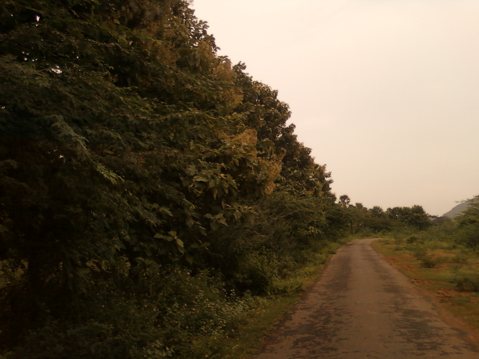
Tagarapuvalasa is a neighbourhood on the banks of River Gosthani is a part of Bheemunipatnam Municipality (BMC) in Andhra Pradesh. It is located on the Kolkata– Chennai National Highway 16. National Highway 43 diverts from Maharajupeta village north of Tagarapuvalasa. History Traces of habitation Habitation may refer to: * Human settlement, a community in which people live * Dwelling In law, a dwelling (also known as a residence or an abode) is a self-contained unit of accommodation used by one or more households as a home - such as ... and early trade in and around Tagarapuvalasa may be dated back to 3rd century BC or more as many Early Buddhist sites such as Pavurallakonda, Gudiwada Dibba, Cherukupalli Gutta and Pellikonda, are explored, documented and excavated near to this town along the River Gosthani. This area once flourished as Madhyama Kalinga region. Geography Tagarapuvalasa and Chittivalasa are twin towns and located at 17°55′52″N 83°25′44â ... [...More Info...] [...Related Items...] OR: [Wikipedia] [Google] [Baidu] |
Anandapuram
Anandapuram is a suburb and a mandal of Visakhapatnam district in the state of Andhra Pradesh, India. It is a Road junction on the National Highway 16 between Visakhapatnam and Srikakulam. There is a connecting road goes to Simhachalam and Pendurthi. Transport ;APSRTC Andhra Pradesh State Road Transport Corporation (APSRTC) is the state-owned road transport corporation in the Indian state of Andhra Pradesh. Its headquarters is located at NTR Administrative Block of RTC House in Pandit Nehru bus station of ... routes: References Road junctions in India Neighbourhoods in Visakhapatnam {{India-transport-stub ... [...More Info...] [...Related Items...] OR: [Wikipedia] [Google] [Baidu] |
Bheemunipatnam
Bheemunipatnam (also known as Bheemili), is a suburb of Visakhapatnam, India. The town was named after Bhima, a character in the Hindu epic Mahabharata. It formerly administered under the Bheemunipatnam municipality, but merged into GVMC in 2017. It is currently under the administration of Bheemunipatnam revenue division and the headquarters is located at Bheemunipatnam. Geography Bheemunipatnam is located about 40 km from Visakhapatnam Airport, about 31 km from Visakhapatnam railway station and 29 km from Visakhapatnam city central bus station. It lies to the north of Visakhapatnam City and is loosely bordered by Rushikonda to the south and Bay of Bengal to the east, Madhurawada to the west, Bhogapuram to the north. History Buddhism Historical evidences of Buddhist Culture have been noticed at Bheemunipatnam dating back to 3rd century BCE on the hillock Pavurallakonda (also known as Narsimhaswami Konda locally) in the town. Buddhist remains were found d ... [...More Info...] [...Related Items...] OR: [Wikipedia] [Google] [Baidu] |
Madhurawada
Madhurawada is a major business and residential area of Visakhapatnam in the state of Andhra Pradesh. It is located on the Visakhapatnam-Vizianagaram stretch of National Highway 16 around 16 km from the city center of Visakhapatnam. This region is famous for its Visakhapatnam IT Special Economic Zone, located in the proposed digitally-enabled smart urban city. Among the state Tourism Department's six major projects announced in 2018, planning has begun on a Special Tourism Zone with 250 acres for hotels, an amusement park, and oceanarium. This suburb consists of many popular tourist sites, such as Pothinamallayya Palem, Chandrampalem, Mithilapuri VUDA colony, Revallapalem, Ganeshnagar, and Port colony. History Madhurawada was the site of a pre-historic culture during the Neolithic period. As reported by an Andhra University professor, "on the Visakhapatnam coast the Neolithic folk settled on the red sediments, and their cultural remains were subsequently covered by the aeolian ... [...More Info...] [...Related Items...] OR: [Wikipedia] [Google] [Baidu] |
River Gosthani
The Gosthani rises in the Ananthagiri Hills of the Eastern Ghats and flows through the Borra Caves which lie near its source. It is the largest river flowing through Visakhapatnam city. It flows for 120 km before joining the Bay of Bengal through an estuary near Bheemunipatnam. The river basin drains the two coastal districts of Vizianagaram and Visakhapatnam. The basin exhibits a subdendritic and dendritic pattern of drainage. The Gosthani's is a minor river basin with a total drainage area of less than 2000 km2. Much of the basin is covered by khondalite group of gneissic rocks. About 3% of the total area of the Visakhapatnam district is under the Gosthani basin. The river is rainfed, receiving an average rainfall of 110 cm most of which comes from the south-west monsoon. There are several red sand hills near Bheemunipatnam, where the Gosthani joins the Bay of Bengal, which are reminiscent of the Chambal ravines. These are thought to have been formed six millen ... [...More Info...] [...Related Items...] OR: [Wikipedia] [Google] [Baidu] |
States And Territories Of India
India is a federal union comprising 28 states and 8 union territories, with a total of 36 entities. The states and union territories are further subdivided into districts and smaller administrative divisions. History Pre-independence The Indian subcontinent has been ruled by many different ethnic groups throughout its history, each instituting their own policies of administrative division in the region. The British Raj mostly retained the administrative structure of the preceding Mughal Empire. India was divided into provinces (also called Presidencies), directly governed by the British, and princely states, which were nominally controlled by a local prince or raja loyal to the British Empire, which held ''de facto'' sovereignty ( suzerainty) over the princely states. 1947–1950 Between 1947 and 1950 the territories of the princely states were politically integrated into the Indian union. Most were merged into existing provinces; others were organised into ... [...More Info...] [...Related Items...] OR: [Wikipedia] [Google] [Baidu] |
Buddhist
Buddhism ( , ), also known as Buddha Dharma and Dharmavinaya (), is an Indian religion or philosophical tradition based on teachings attributed to the Buddha. It originated in northern India as a -movement in the 5th century BCE, and gradually spread throughout much of Asia via the Silk Road. It is the world's fourth-largest religion, with over 520 million followers (Buddhists) who comprise seven percent of the global population. The Buddha taught the Middle Way, a path of spiritual development that avoids both extreme asceticism and hedonism. It aims at liberation from clinging and craving to things which are impermanent (), incapable of satisfying ('), and without a lasting essence (), ending the cycle of death and rebirth (). A summary of this path is expressed in the Noble Eightfold Path, a training of the mind with observance of Buddhist ethics and meditation. Other widely observed practices include: monasticism; " taking refuge" in the Buddha, the , and th ... [...More Info...] [...Related Items...] OR: [Wikipedia] [Google] [Baidu] |
Neighbourhoods In Visakhapatnam
A neighbourhood (British English, Irish English, Australian English and Canadian English) or neighborhood (American English; American and British English spelling differences, see spelling differences) is a geographically localised community within a larger city, town, suburb or rural area, sometimes consisting of a single street and the buildings lining it. Neighbourhoods are often social communities with considerable face-to-face interaction among members. Researchers have not agreed on an exact definition, but the following may serve as a starting point: "Neighbourhood is generally defined spatially as a specific geographic area and functionally as a set of social networks. Neighbourhoods, then, are the Neighbourhood unit, spatial units in which face-to-face social interactions occur—the personal settings and situations where residents seek to realise common values, socialise youth, and maintain effective social control." Preindustrial cities In the words of the urban sch ... [...More Info...] [...Related Items...] OR: [Wikipedia] [Google] [Baidu] |
Siripuram, Visakhapatnam
Siripuram is an urban commercial center in Visakhapatnam, Andhra Pradesh, India India, officially the Republic of India (Hindi: ), is a country in South Asia. It is the seventh-largest country by area, the second-most populous country, and the most populous democracy in the world. Bounded by the Indian Ocean on the so .... Visakhapatnam Metropolitan Region Development Authority administrative office is located here. There are many buildings landmark to this area. Commerce There are many offices and outlets situated here. They are * VMRDA Administrative Building * WNS Global Services Corporate Office * VUDA Children Arena * Gurajada Kalakshetram * Dutt Island Building * Akashavani Radio Station * Government Circuit House Transport State-run APS RTC runs city bus services from Dwaraka bus station and various suburbs to this area. References Neighbourhoods in Visakhapatnam {{Visakhapatnam-geo-stub ... [...More Info...] [...Related Items...] OR: [Wikipedia] [Google] [Baidu] |
Maddilapalem
Maddilapalem is an area of Visakhapatnam, in the Indian state of Andhra Pradesh. Maddilapalem was initially a small suburb outside of Visakhapatnam. Economy Maddilapalem is one of the major commercial and residential suburbs of Visakhapatnam. Ashok Leyland Auto Manufactures and Jayabheri Maruthi Institutions are located there. CMR Central is located at Maddilapalem Junction. It is one of the largest shopping malls in Visakhapatnam City. Transport Maddilapalem is home to one of the busiest transport hubs in Visakhapatnam. Visakhapatnam BRTS connects Maddilapalem to Asilmetta. Maddilapalem Junction is among the busiest in the city. The roads leading from the junction lead to Asilmetta, Dwaraka Nagar, and Madhurawada. Maddilapalem is connected by the National Highway. APSRTC operates a bus depot and bus station. Buses are run by the state-owned APSRTC, and connect to all parts of Visakhapatnam. Education Maddilapalem is home to many educational institutions and comme ... [...More Info...] [...Related Items...] OR: [Wikipedia] [Google] [Baidu] |
Hanumanthavaka
Hanumanthuwaka is an area of Visakhapatnam, Andhra Pradesh, India. The Visakhapatnam BRTS connects Hanumanthuwaka to Simhachalam. Hanumanthuwaka was an initially a small suburb outside Visakhapatnam. Landmark Famous tourist spot in Visakhapatnam City Kailasagiri is located in this area. Hospitals Visakha Institute of Medical Sciences(VIMS) and L.V. Prasad Eye Hospital is located here. Transport Hanumanthuwaka is connected by the National Highway. It is one of the busiest junctions in the city as NH 16 passes through here. Buses are run by the state-owned APSRTC, and is well connected to all parts of Visakhapatnam. All buses going to Arilova, Thagarapuvalasa Tagarapuvalasa is a neighbourhood on the banks of River Gosthani is a part of Bheemunipatnam Municipality (BMC) in Andhra Pradesh. It is located on the Kolkata–Chennai National Highway 16. National Highway 43 diverts from Maharajupeta village ..., Bheemili pass through here. References Neighbourhoods ... [...More Info...] [...Related Items...] OR: [Wikipedia] [Google] [Baidu] |
Yendada
Yendada is a neighbourhood situated on Visakhapatnam and Madhurawada Madhurawada is a major business and residential area of Visakhapatnam in the state of Andhra Pradesh. It is located on the Visakhapatnam-Vizianagaram stretch of National Highway 16 around 16 km from the city center of Visakhapatnam. This region ... road. About Yendada Is Developing Very Rapidly and Having Extremely High Real Estate Boom. Transport ; APSRTC routes: Gallery Panorama hills entrance Pylon.jpg, Entrance of Panorama hills near Yendada NH5 at Yendada.jpg, NH5 at Yendada NH5 at Yendada in Visakhapatnam.jpg, NH5 at Yendada in Visakhapatnam References Neighbourhoods in Visakhapatnam {{Visakhapatnam-geo-stub ... [...More Info...] [...Related Items...] OR: [Wikipedia] [Google] [Baidu] |
Andhra Pradesh State Road Transport Corporation
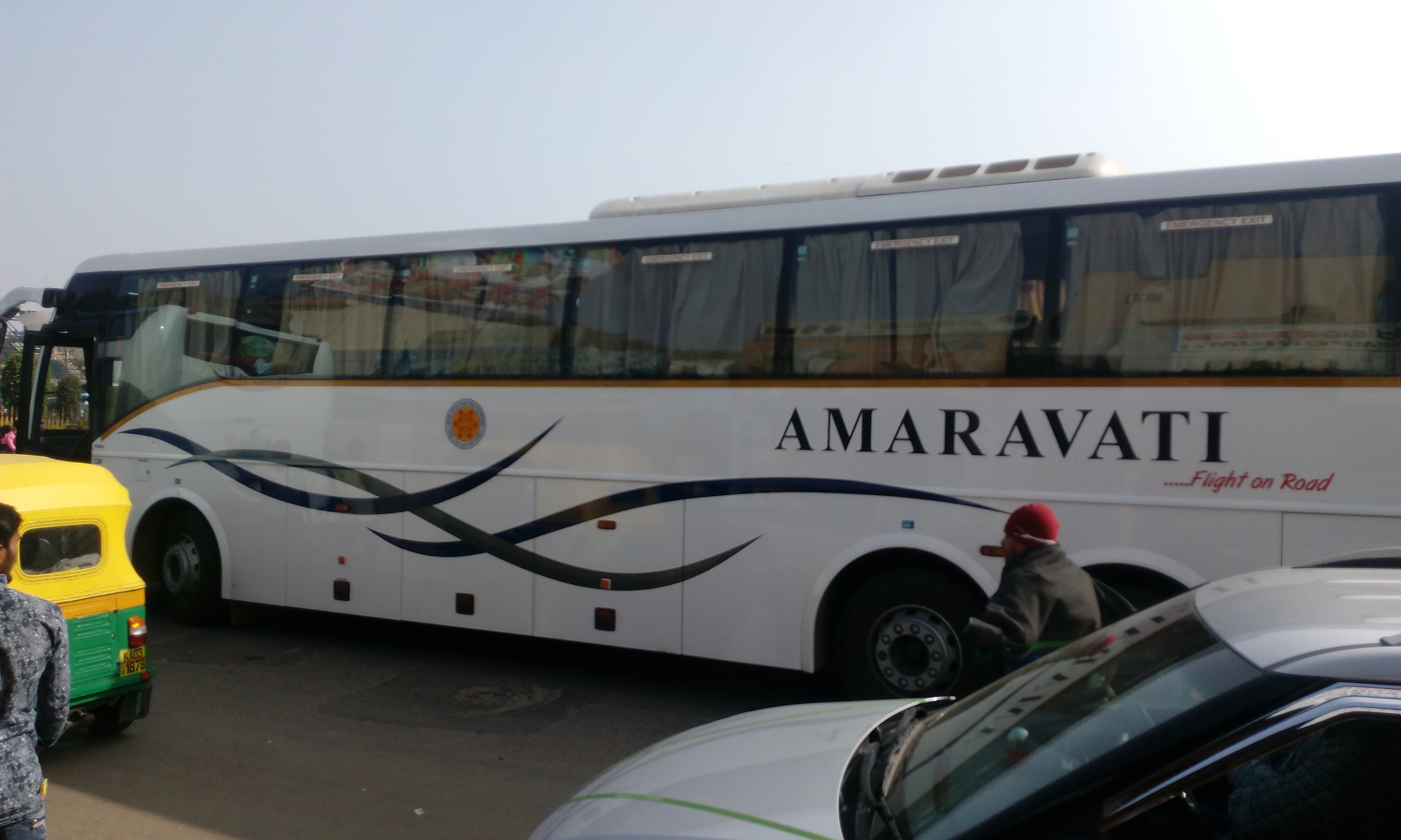
Andhra Pradesh State Road Transport Corporation (APSRTC) is the state-owned road transport corporation in the Indian state of Andhra Pradesh. Its headquarters is located at NTR Administrative Block of RTC House in Pandit Nehru bus station of Vijayawada. Many other Indian metro towns in Telangana, Tamil Nadu, Karnataka, Odisha, Yanam, Kerala, Maharashtra and Chhattisgarh are also linked with the APSRTC services. APSRTC was the first state to introduce cargo services and computized system in all depots. APSRTC was the first state to introduce hi-tech luxury bus in government bus sector in India. * APSRTC was the first state transport which uses Live Bus tracking facilities for Tracking of buses. GPS (Global positioning system) is fixed in all types of buses. AIS 140 model, GPS devices are used for live tracking of buses. * First to Introduce Digital Payments, QR - Tickets, E-Pos machines for ticketing across entire State. History APSRTC was formed on 11 January 1958 as pe ... [...More Info...] [...Related Items...] OR: [Wikipedia] [Google] [Baidu] |


